#StartFlyingToday First Licensed #RPAS Commercial Operator in SA Mining. Specialist in aerial photography, aerial mapping. A surveyor's perfect partner
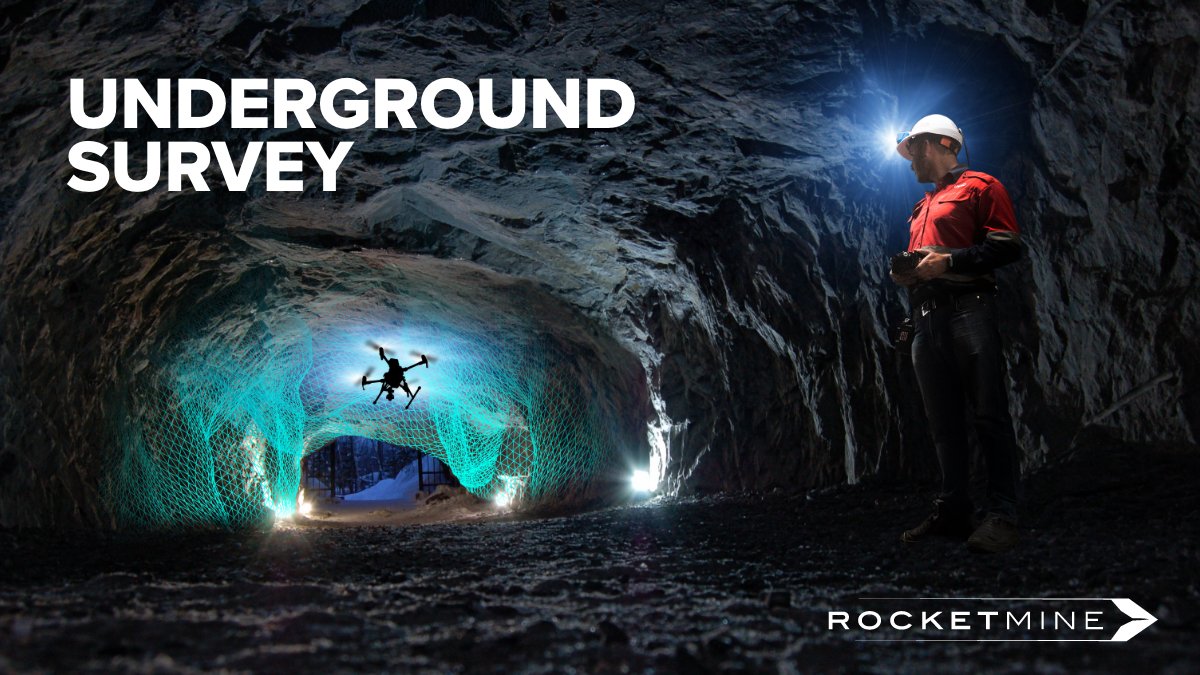
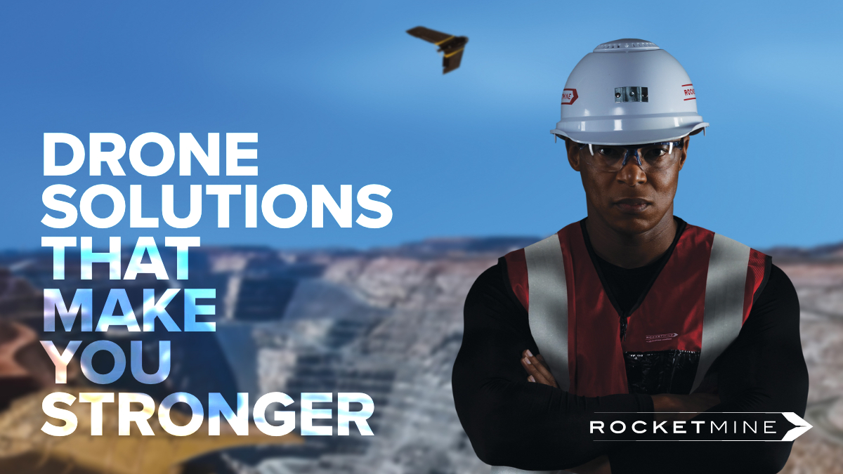
Experience matters and whatever drone data requirements you may have – Rocketmine truly understands what it takes to deliver highly accurate survey-grade data with speed, precision and real expertise. #drones#droneservices#mining#survey#mapping#totalpackagesolution
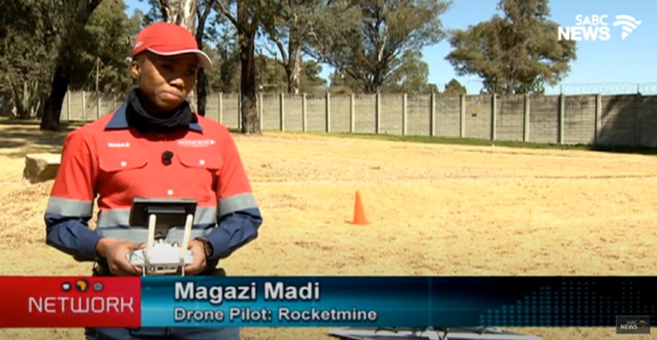
Check out Rocketmine’s very own – @Magazi_Madi on @SABCNews chatting about all thing’s tech, drones and female empowerment! Be the first to watch it now: https://t.co/rqkPXTYapS Thank you @SABCNetwork for the amazing interview! #SABCNews#womenempowerment#drones
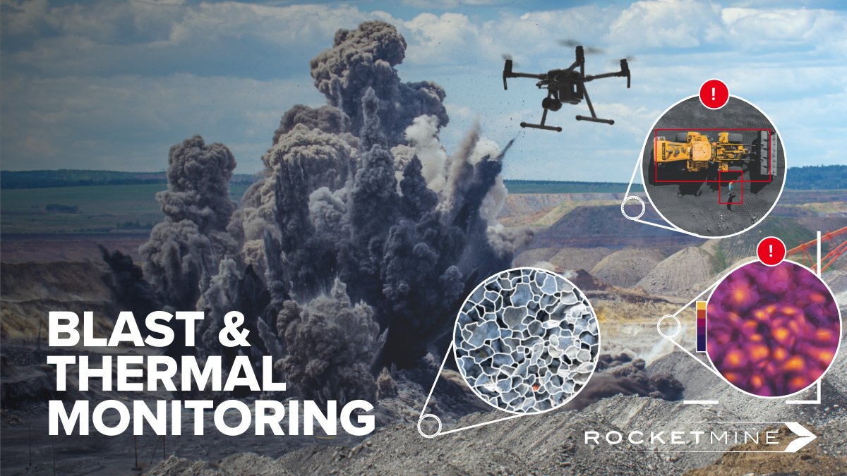
Improve safety and performance with our pre-bast, real-time object detection algorithm and post-blast fragmentation analysis and view blasts in ultra-slow-motion for identifying misfires. #blasting#blastmonitoring#droneservices#dronedata#mining
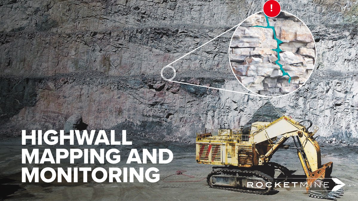
Benefit from the latest in artificial intelligence and 3D modelling technology in being able to view, track and trend unsafe and high-risk areas on your highwall, including automated crack detection. #highwallmapping#highwallmonitoring#droneservices#dronedata#mining
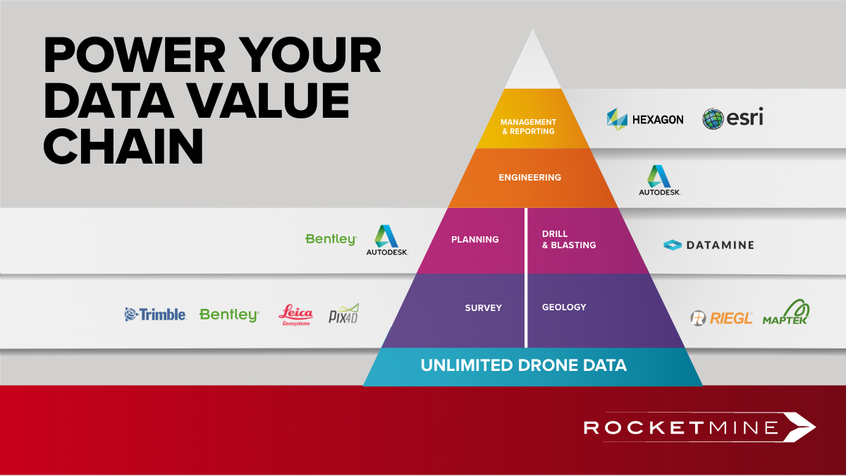
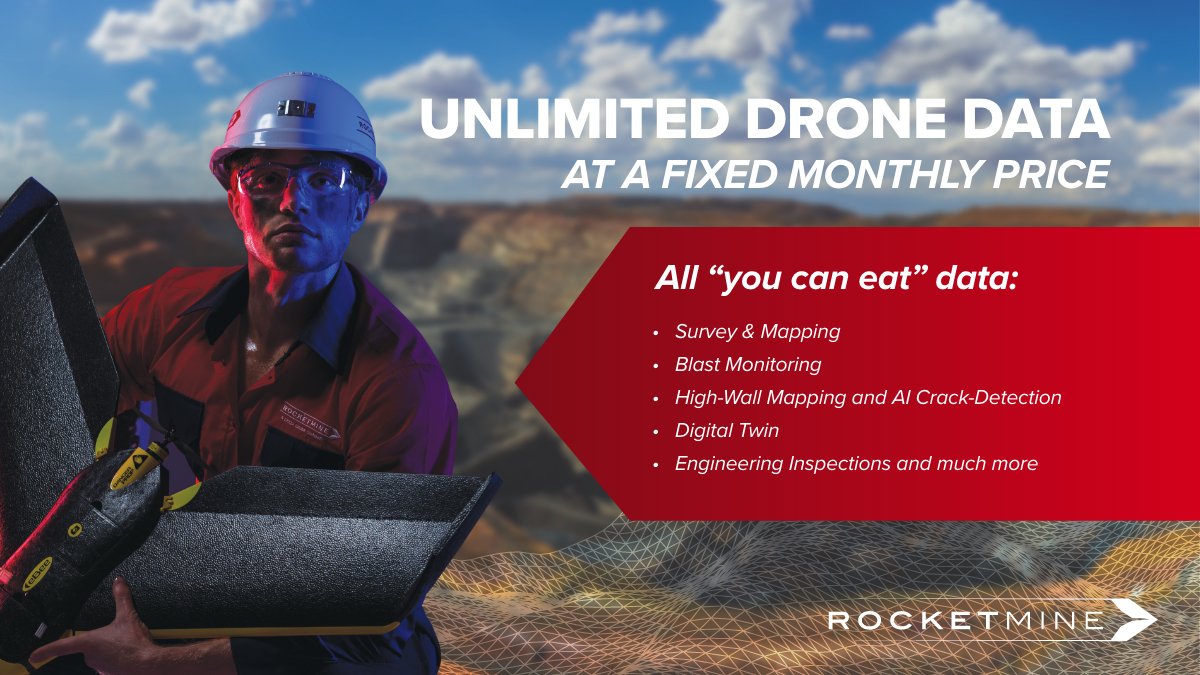
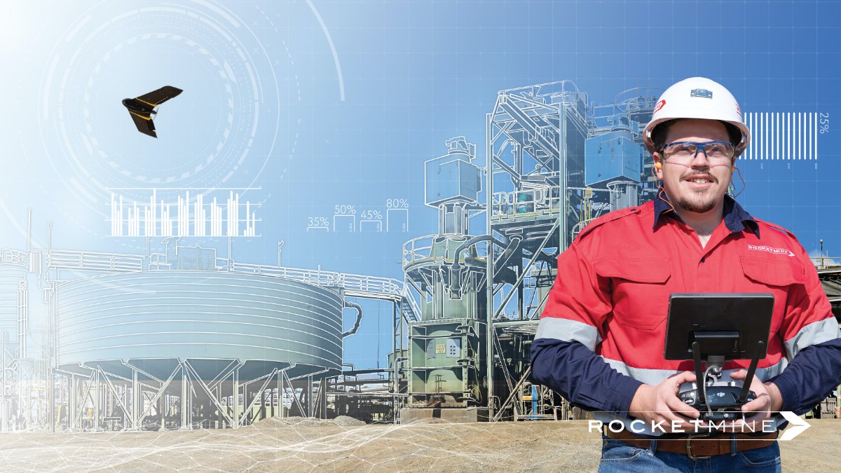
Power your data value chain with Rocketmine’s latest drone technology and allow all your departments the benefit of an unlimited single source of drone data, empowering all your current software data workflows. #drones#dronedata#droneservices#survey#mining#startflyingtoday
Check out our latest article in @MiningWeekly on Photogrammetry versus LiDAR. Thank you @MiningWeekly for your continued support! To learn more about which of these two technologies will best suit your needs read on here: https://t.co/qowMWizjqU #drones#photogrammetry#lidar
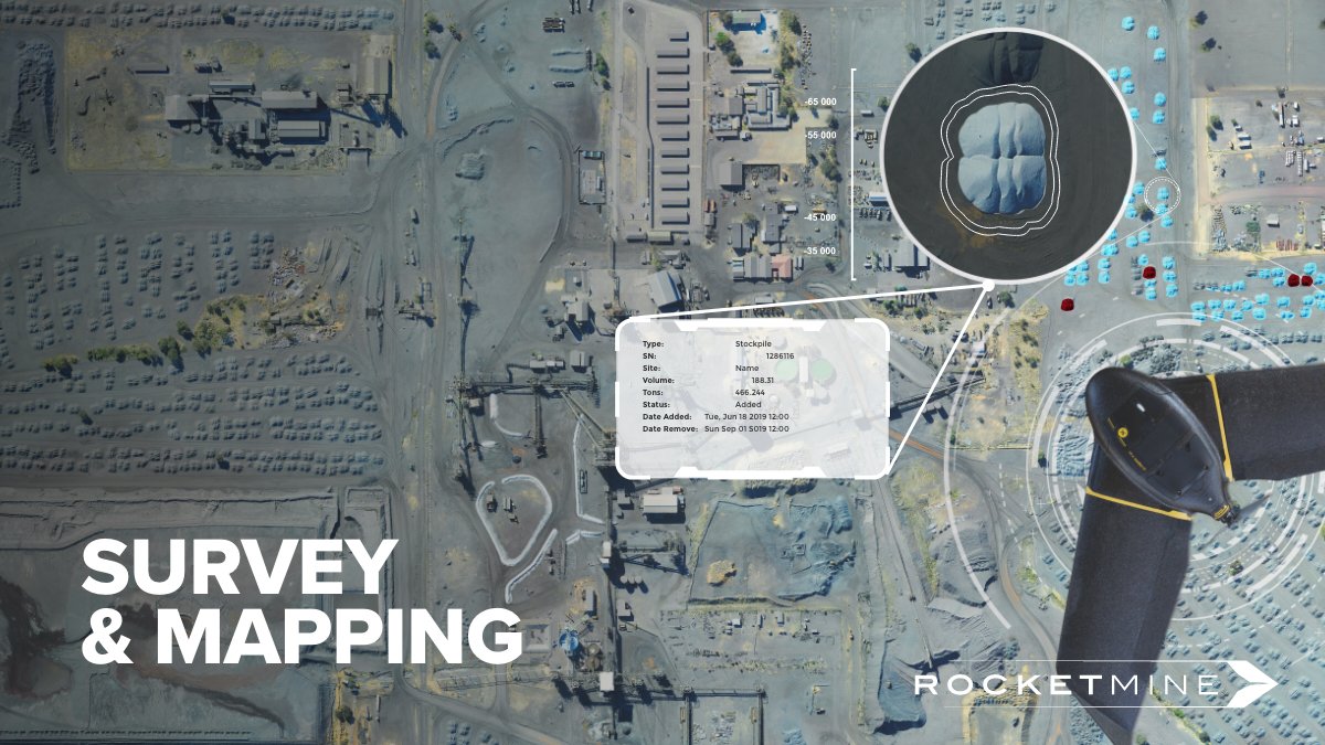
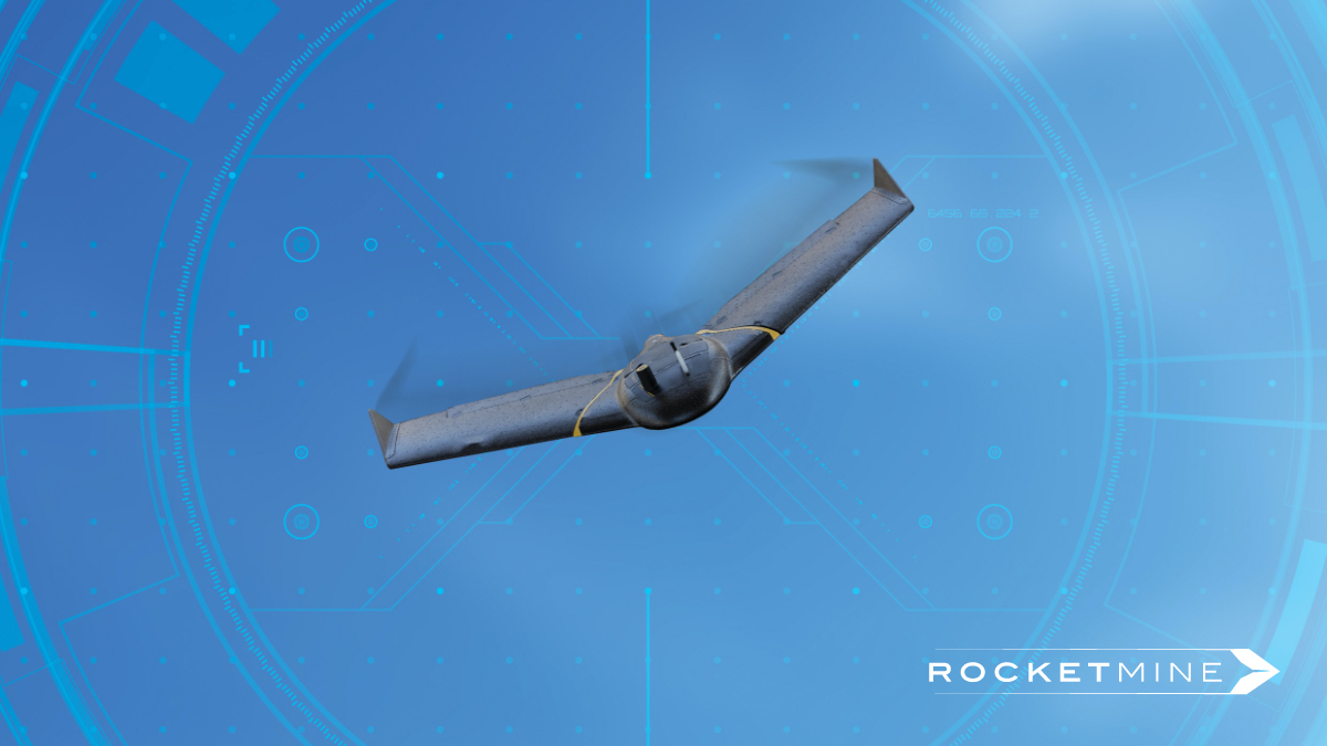
Capture up to 800 hectares per day and receive volume data within 24 hours, making your survey and planning departments faster and safer. #survey#mapping#droneservices#dronedata#mining
In our latest blog article, Rocketmine unpacks both Photogrammetry and LiDAR and summarises the common applications of both to help you determine which method would better suit the exact requirements of your project. Read on: https://t.co/8DwclGhuR5 #drones#photogrammetry#lidar
Our Live Object Detection (LOD) solution allows you to inspect your blasting area and detect obstructions within minutes. For more info on the benefits of LOD contact us via [email protected] today! #Drones#Mining#LiveObjectDetection#Blasting
Develop living, breathing digital data models with real-time monitoring with our Digital Twin solution for mining and construction industries. To learn more about the benefits of Digital Twins contact us via [email protected]. #Drones#Mining#DigitalTwin#Construction
Develop high-resolution digital models of physical sites in the design and construction phase using Rocketmine’s Building Information Modelling (BIM) solution. To learn more about the benefits of BIM contact us via [email protected] today! #Drones#BIM#Mining#Construction
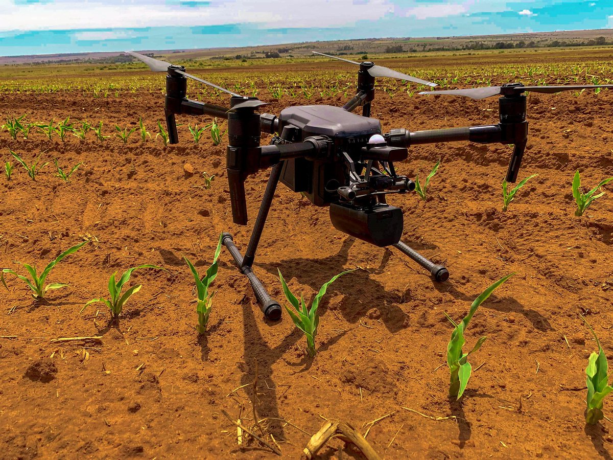
Are you looking to determine the nitrogen status in crops? RocketFarm can help you get to know exactly where to apply crop nutrients helping you save on fertilizer, fuel and mechanization costs, and even prevent potential plant stress. #Drones#Precisionag
Are you looking to conduct near real-time mine planning and execution to improve mining efficiency and production? Then visit https://t.co/JzN5NrvDV8 today to learn more about SmartMine - our digitalized mine solution of the future. #Mining#Survey#SmartMine#Drones
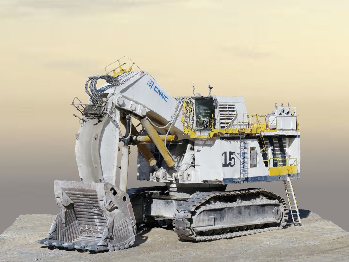
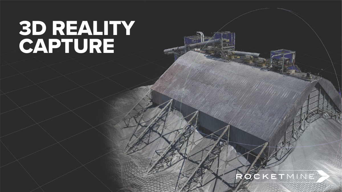
View 3D models of your mine and equipment in Virtual Reality, improve decision making with millimetre accuracy and share 3D models easily using a secure cloud-based visualization platform with our 3D Modelling solution. To learn more visit https://t.co/RpnsMUXZIb #Drones#Mining
With our advanced Highwall Mapping Solution you can evaluate highwalls safely and accurately, monitor geological discontinuities easily and combat rock fall and slop instability related accidents. For more info email us via [email protected]#Drones#Mining#Highwall#Mapping