@holger3000 @kyrib Yes, I found the lat/long data on https://t.co/vS0qT8nWGk. There are caveats regarding how well the location represents the zip code but it is close enough for a good visualization.
@kyrib A line drawn through all the zip codes in numerical order is the correct answer! Good job to all who got it.
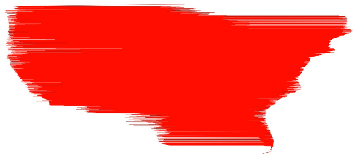
This is a funny early attempt at rendering where I accidentally sorted the data by latitude rather than by zip code.
Systems research:
- Databases people definitely already did it, but on a longer time scale
- Architecture people probably already did it, but on a shorter time scale
- Pat Hanrahan most likely already did it in the service of some ridiculously cool graphics application