Have tons of data but can't get answers when it matters?
When wildfires hit, the LA County Office of Education found it hard to identify staff in evac zones. The culprit: fragmented data.
Learn how they're building a geospatial platform to fix this:https://t.co/CY3ATqxKGn
Where should new health facilities be built to save the most lives?
At #SDSC25 NY, Virtue Foundation showed how geospatial data + optimization models pinpoint the best locations, cutting travel times for the biggest populations.
Watch on demand: https://t.co/fWYTgeSndu
Just over a month since #SDSC25 NY, the energy’s still high! 🚀
Here’s a look back at key trends shaping the geospatial community as we plan the next edition.
👉Explore the full #SDSC25 NY recap: https://t.co/RXgV6eHq0n
At #SDSC25 NY, Telus & Korem showed how cloud-native GIS transforms telco ops, moving massive geo data to the cloud, automating propagation grids in BigQuery, and unifying workflows with CARTO on GCP.
🎥Watch the full Telus & Korem talk here:
https://t.co/wOB77IX7ZY
Ever wondered how insurers assess flood risk in real time?
Leitha’s dashboard turns data into action, tracking claims, mapping floods, and identifying impacted customers with precision and speed.
👉See all the #SDSC25 NY sessions on demand: https://t.co/SmuQD42bbT
At #SDSC25 NY, Keith Laba from Sekisui House shared how homebuilding strategy changes when analytics are viewed through a spatial lens. 🏠
His key point: location isn’t just another data column, it’s the context that makes insights actionable.
👉 https://t.co/E288MckbNp
How do you explain geospatial embeddings to a non-technical audience?
At #SDSC25, Sean Wohltman from @Google nailed it, with a story about catching a tuna 🐟
Watch this and all the talks from SDSC NYC here: https://t.co/vs1jC5he8e
Missed the Spatial Data Science Conference 2025 in New York? You can now access all sessions on demand.
🎥 Watch the talks here: https://t.co/8ugSiCoQTm
#SDSC25 NYC just wrapped up! 🌍
We’re collecting insights for our State of Spatial Analytics 2026 report. Share how your team uses AI, cloud, & location data.
Last chance to take the survey + enter to win a $100 Amazon gift card
https://t.co/agjoNTCMe8
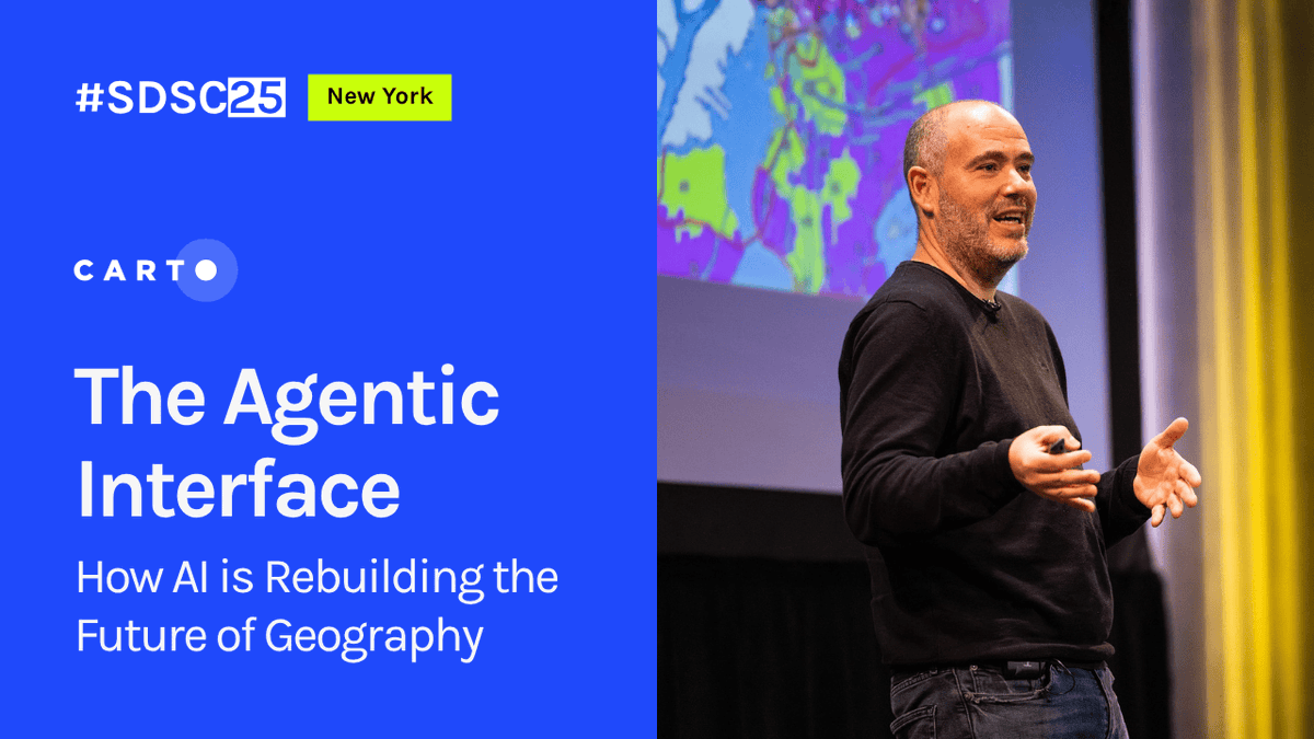
The opening keynote from #SDSC25 New York is live!
Javier de la Torre, Founder and CSO of @CARTO, opened the conference with a look at how Agentic GIS and geospatial foundation models are redefining spatial analysis in the cloud.
Watch the full keynote: https://t.co/eoe1QTA5iA
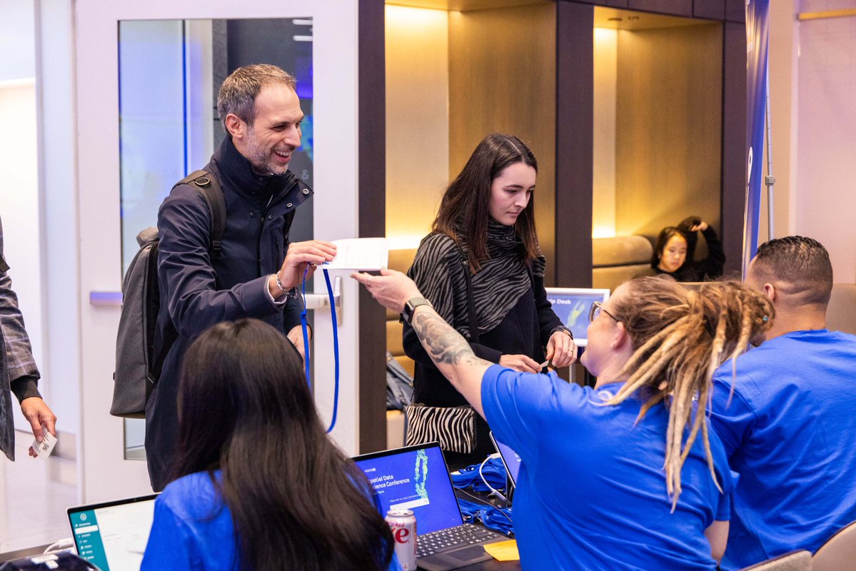
Good morning and welcome to the hands-on workshops at #SDSC25 New York. ☕️
We’re ready for a full day of spatial analysis. Follow us for more updates as the day unfolds!
Javier de la Torre (@CARTO) will demonstrate how to visualize linear referenced data from Oracle in CARTO and apply AI models for predictive analysis, anomaly detection, and asset optimization.
👉Don’t miss this session
https://t.co/F0MHPxZQdG
Join Ted Readyhough (@Snowflake), Ryan Miller & Antonio Hita (@CARTO) for a hands-on workshop on optimizing supply chains with real-time spatial analytics, trajectories & GeoAI.
👉Don’t miss this opportunity and secure your ticket: https://t.co/v6kmuKxBSL
Just one week to go until #SDSC25 New York! 🗽
We’re excited to welcome the global spatial data community for two days of innovation, insights, and hands-on learning.
A huge thank you to our sponsors for making this event possible.
Get your ticket now: https://t.co/TWvlO1t0pQ
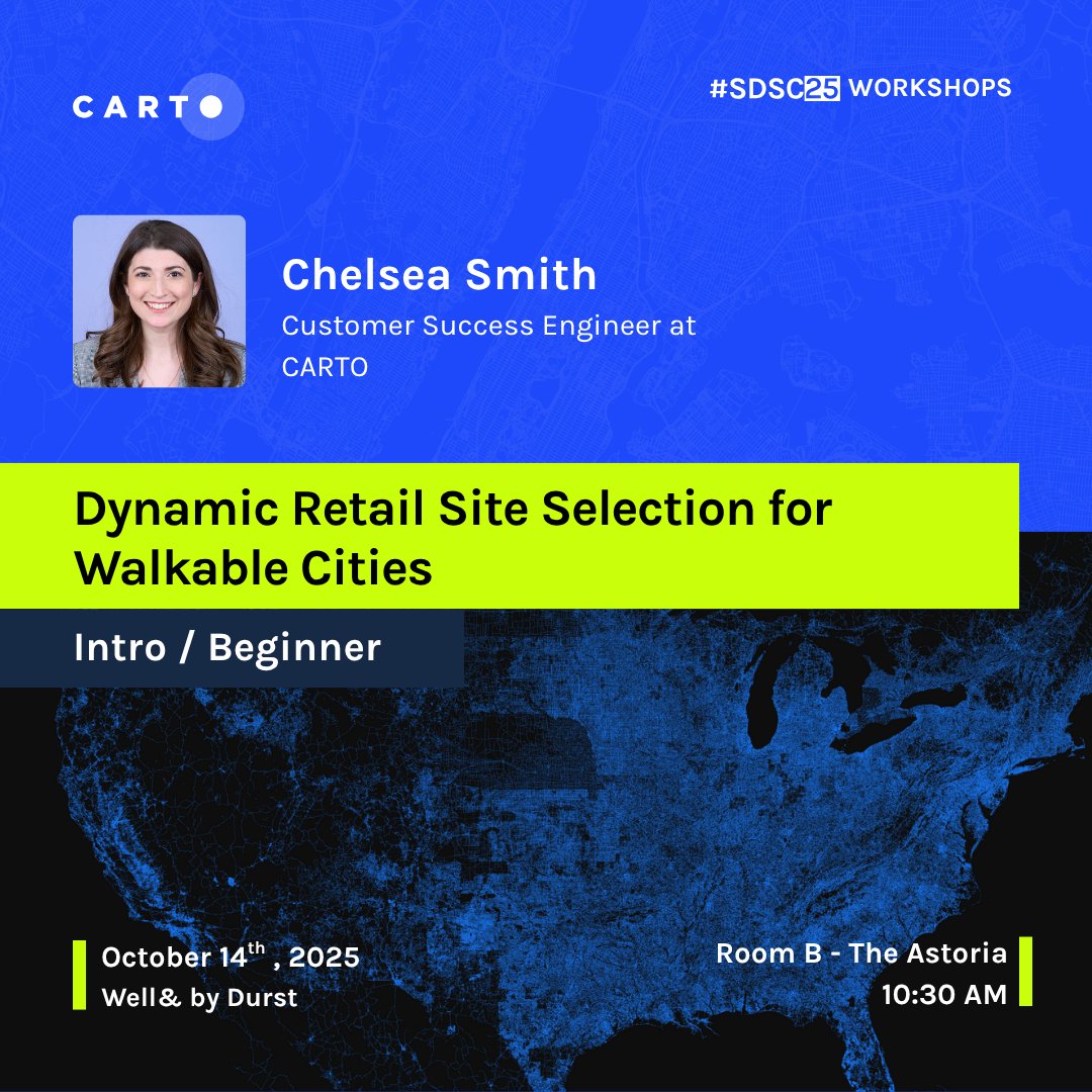
Walkability is becoming a key factor in retail success 🚶🏻
Chelsea Smith from @CARTO will be teaching on how to build dynamic walkability scores and create interactive maps that help businesses identify high-potential locations
🔗Register now! https://t.co/7bLyaZ7ZLw
How can data help bring healthcare to those who need it most? 🩺
Dr Joan LaRovere from Virtue Foundation will share how they’re tackling global medical deserts through spatial analytics.
Don’t miss this talk at #SDSC25 NY: https://t.co/0u4O7gL7QB
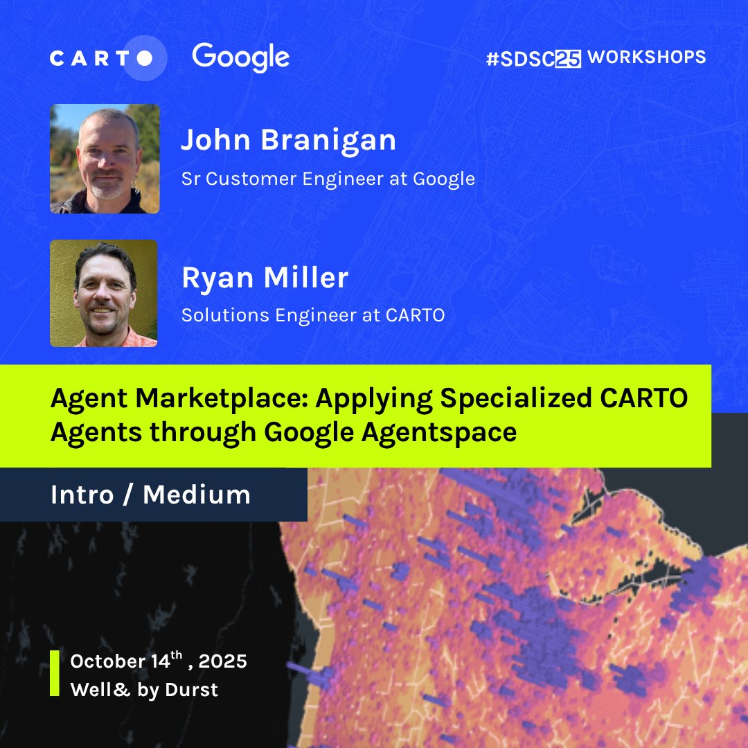
Join John Branigan (@Google) and Ryan Miller & Antonio Hita (@CARTO) to explore task-focused AI agents via Google Agentspace, speeding up geospatial workflows from analysis to real estate site selection. 🚀
🎟️Get your #SDSC ticket now: https://t.co/HszmBDvirI
At #SDSC25, Drew Breunig from Overture Maps will discuss the Global Entity Reference System (GERS), a framework for structuring and matching map data across systems.
👉Don’t miss these insights, live in NYC! https://t.co/9AXR4nF4NV
Join Moises Beizan Vallete from Korem at #SDSC25 New York to learn a cloud-native approach using Snowflake, Databricks, and LiDAR-derived HRDEM datasets from the Canadian Government.
👉Don’t miss this workshop at #SDSC25 New York: https://t.co/R1WYGXWyFy
Don’t miss the @Deloitte & @CARTO workshop focused on leveraging geospatial analytics to perform advanced infrastructure & mobility planning
🔗Get your #SDSC25 ticket now: https://t.co/pnPMSKkq13