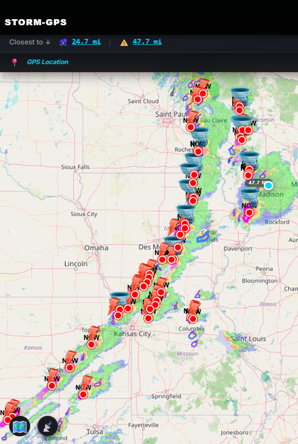
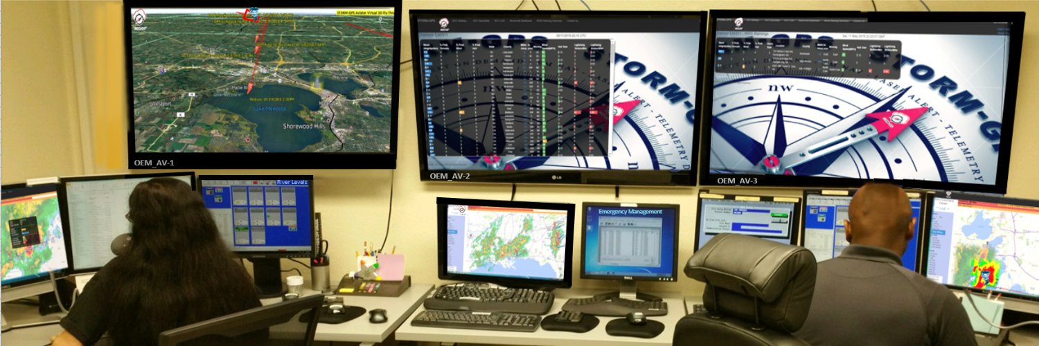
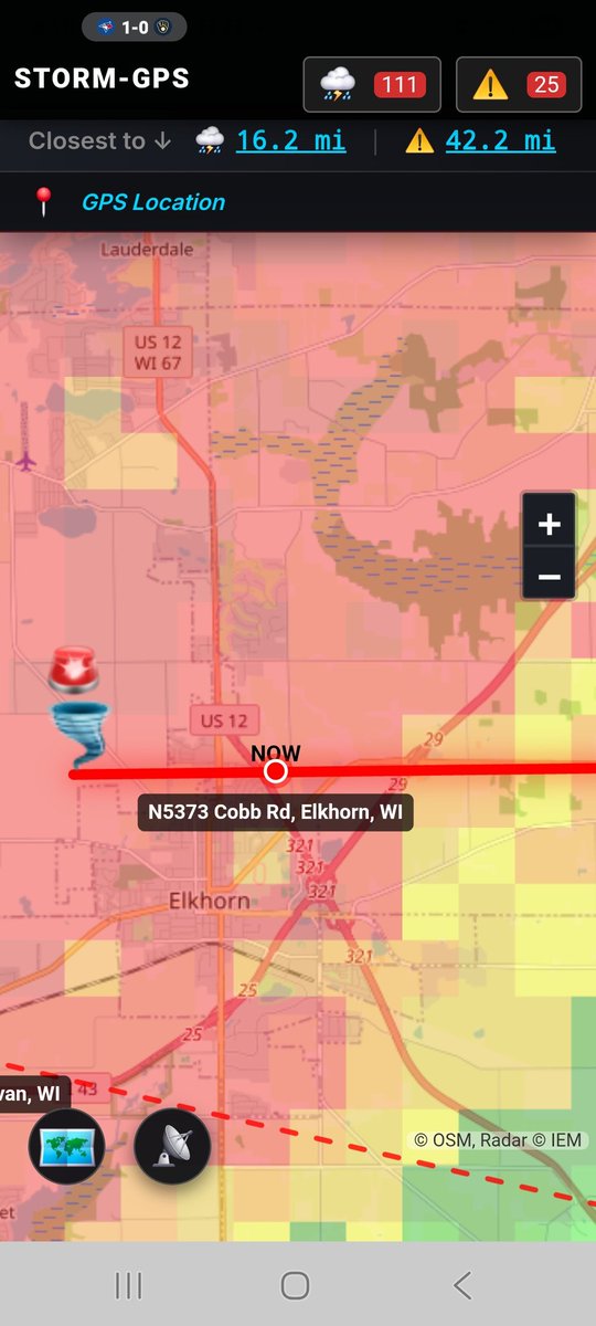
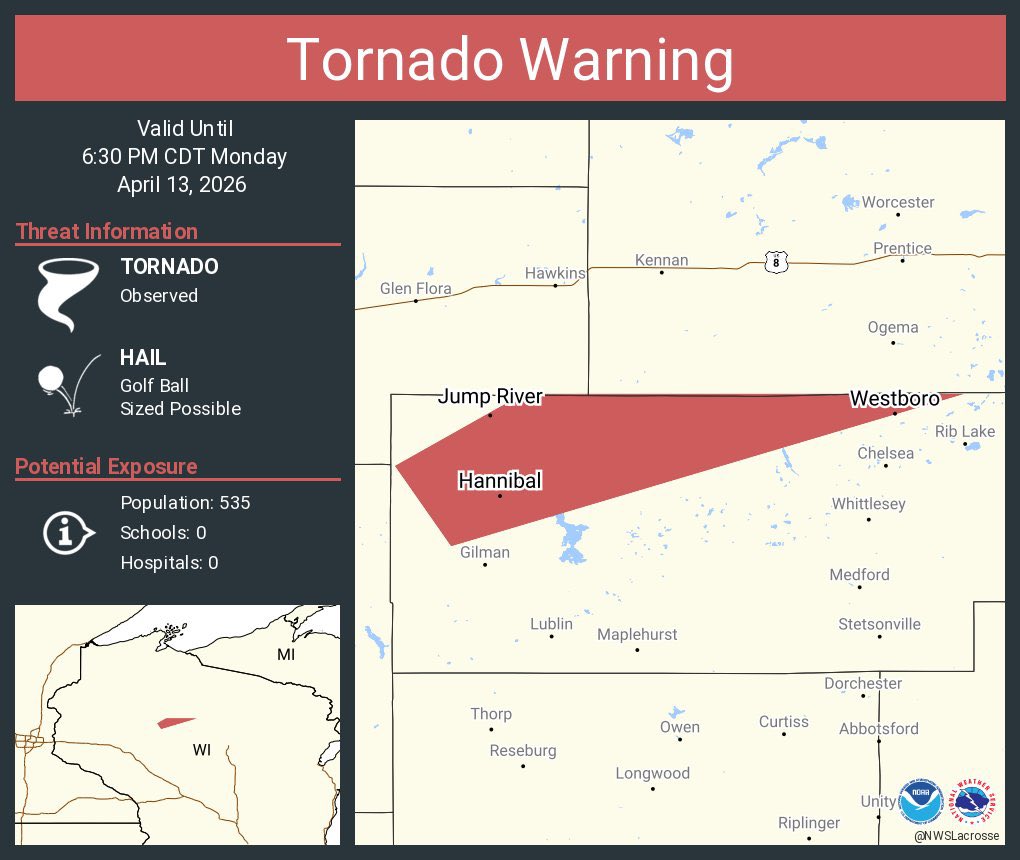
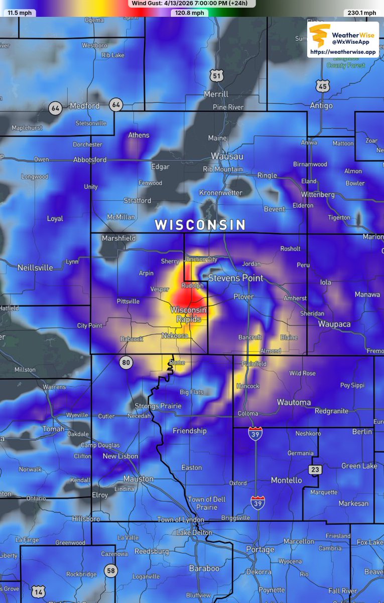
https://t.co/6A5DaVFjkZ sorts all that out with hyperlocal live tracking from the NWS warning origination point. Storm severity is updated every 2 min and tied to a street level address out 60 miles. All this data saved is a mirror image of what each warning coordinator warned.
@kevinklink Already has -- in Joplin with 161 killed.
Emergency Managers can't get past the "better safe than sorry" way of thinking even if the tornado is well east of the area.
There are already ~220,000+ people without power in Michigan, Iowa and Illinois. Those numbers will rise rapidly today.
It may be some time before it is restored.
If you live in WI, IL, MI - please prepare NOW.
Fill car with fuel; put car in garage after; get extra cash, bring in law furniture…. And make sure your tornado safe area is ready:
2 bottles of water, diapers, shoes.
Why Livestreams Aren’t Enough During Big Outbreaks
I have a lot of respect for the work that Ryan Hall and Max Velocity do during severe weather. They stay on for hours, they explain the setup, and they help a lot of people understand what’s happening on the radar. The same goes for local TV meteorologists and the National Weather Service — they are all doing everything they can to keep people safe.
But on days like Friday, the reality is that no single person or livestream can possibly give detailed, street‑level coverage for every town under a warning. During a big outbreak, there can be dozens of tornado warnings at once, across multiple states. Even a local TV station can struggle to cover every neighborhood in their own viewing area in real time. It’s just not humanly possible.
That gap is why I built Storm-GPS.
Storm-GPS is designed to put the viewer at the center of the outbreak — from their exact location. The entire app is focused on one question: “Where is the tornado in relation to ME?” It shows the tornado’s corridor and updates it every minute, down to the street level. No scrolling through chat. No hoping your town gets mentioned. No guessing which side of the polygon you’re on.
Livestreams, TV coverage, and NWS warnings are all critical pieces of the safety puzzle. Storm-GPS is meant to sit alongside them — not replace them — by giving each person a precise, personal view of where the danger is relative to their home, their kids’ school, or the road they’re driving on.
On days like Friday, when warnings are firing everywhere, that kind of location‑first view can be the difference between confusion and clarity — and in some cases, between life and death.
For future storms, if you rely on livestreams or TV (as you should), consider adding a tool that is focused entirely on where the storm is from you:
https://t.co/77niF2ZGd3
#tornado #severeweather #stormgps #weather #wx
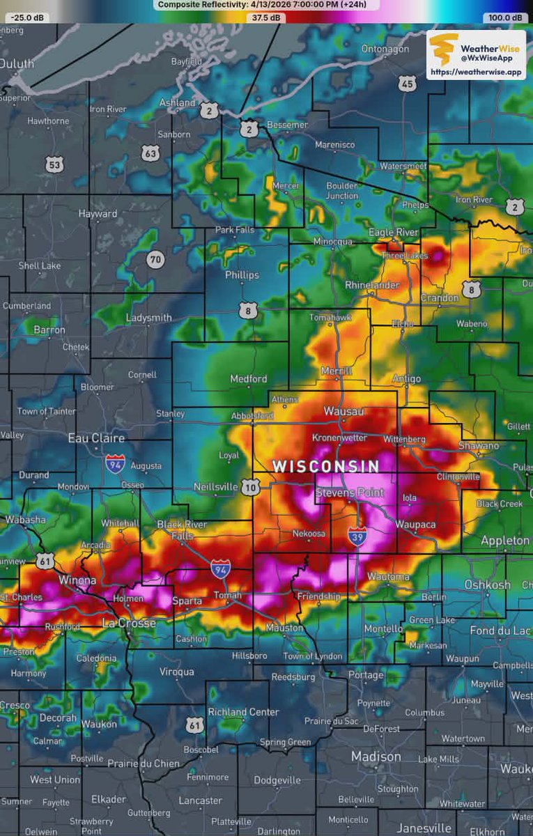
Unfortunately, it appears everything is in place to make this a rough afternoon and evening! Please be on your game. Visit our website! #wiwx#mnwx#ilwx#mowx#iawx#kswx#okwx#txwx
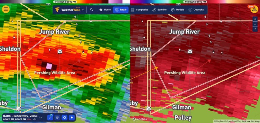
Footage from earlier tornado in Gilman, Wisconsin 🌪️
How does it feel seeing your first tornado?
Chad Ducommun in Gilman, Wisconsin: “Yes it is the first tornado I saw… I wasn’t even expecting it the sun was shining. It was a very exciting moment. Lol”
#wiwx#Wisconsin #tornado
Not saying this will happen, but the RRFS-A has one hell off a bookend vortex transiting across central Wisconsin tomorrow evening showing surface gusts upwards of 90mph+ #wiwx
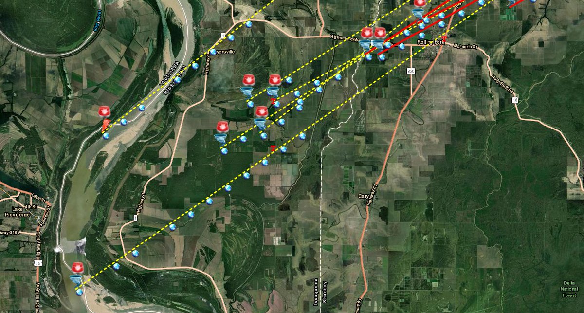
3 Years ago today, a deadly Tornado moved thru Rolling Fork, MS. Here🔻 is our Advance Warning Corridor that provided 20 minute advance Warning. #mswx Protect your Family with our phone app so you are always safe. 14 Day Free Trial. https://t.co/Taxl3F1HXf
Fully interactive video of the supercell thst produced the record hail and tornadoes in Illinois a week ago.
Recommend watching in the highest quality. #ilwx#tornado#hail
https://t.co/HWSbJ6J3wJ
The birth of a monster.
This doesn't look like much at the time, but this little cumulus tower looking south from Wenona, Illinois would go on to become a record setting hail producer and produce an EF3 tornado. #ilwx