🚨WINTER STORM WARNING🚨
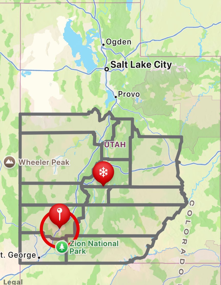
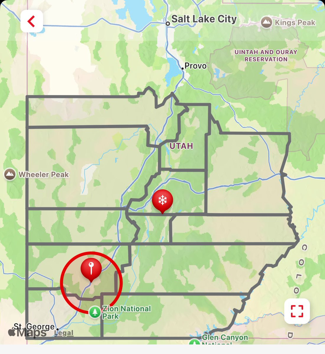
Heavy snow expected, 10-20 inches for northern & southern Utah mountains, with up to 30 inches for the Manti Skyline & Tushar Mountains… Until 5 PM Wednesday.
#utwx#Weather#Utah#southernutah#winterstorm
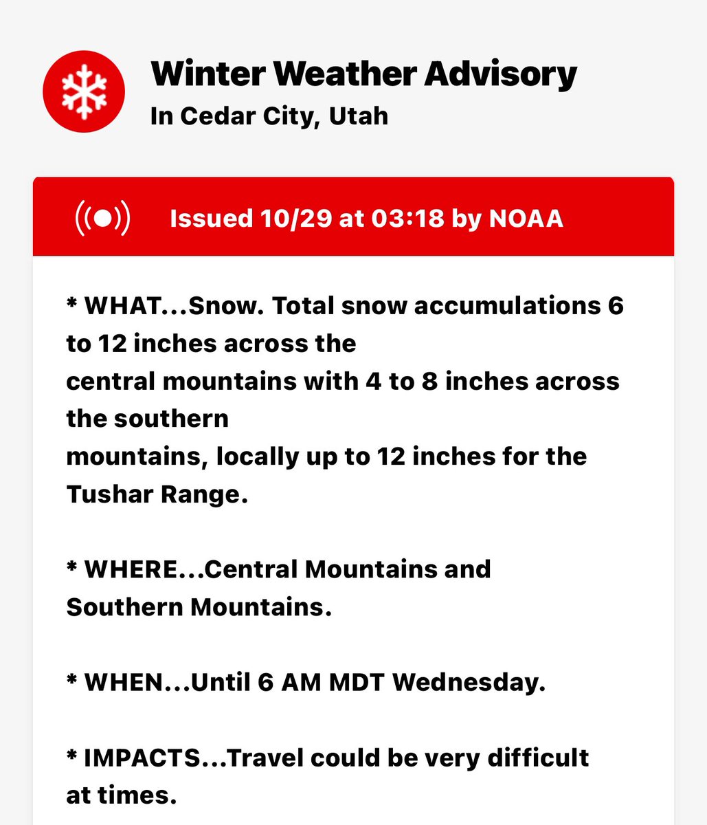
WINTER WEATHER ADVISORY
Snow accumulations 6 to 12 inches central mountains with 4 to 8 inches southern mountains, locally 12 inches. Until 6 AM Wednesday
#utwx#WeatherForecast#snow#southernutah#Utah
The good news: You will get a glorious extra hour of sleep.
The bad: It'll be dark as a pocket by late afternoon for the next few months in the U.S.
https://t.co/yrFt4lcI8a
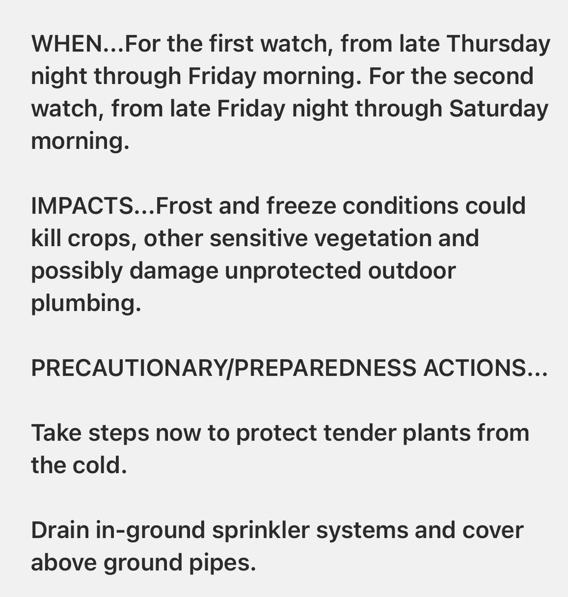
👀 FREEZE WATCH 👀
Several Utah Counties…
2 watches In effect. 1- from late Thursday night through Friday morning. 2- From late Friday night through Saturday morning. 28 to 32 degrees
#utwx#utahwx#freezewatch#utah#weather#southernutah
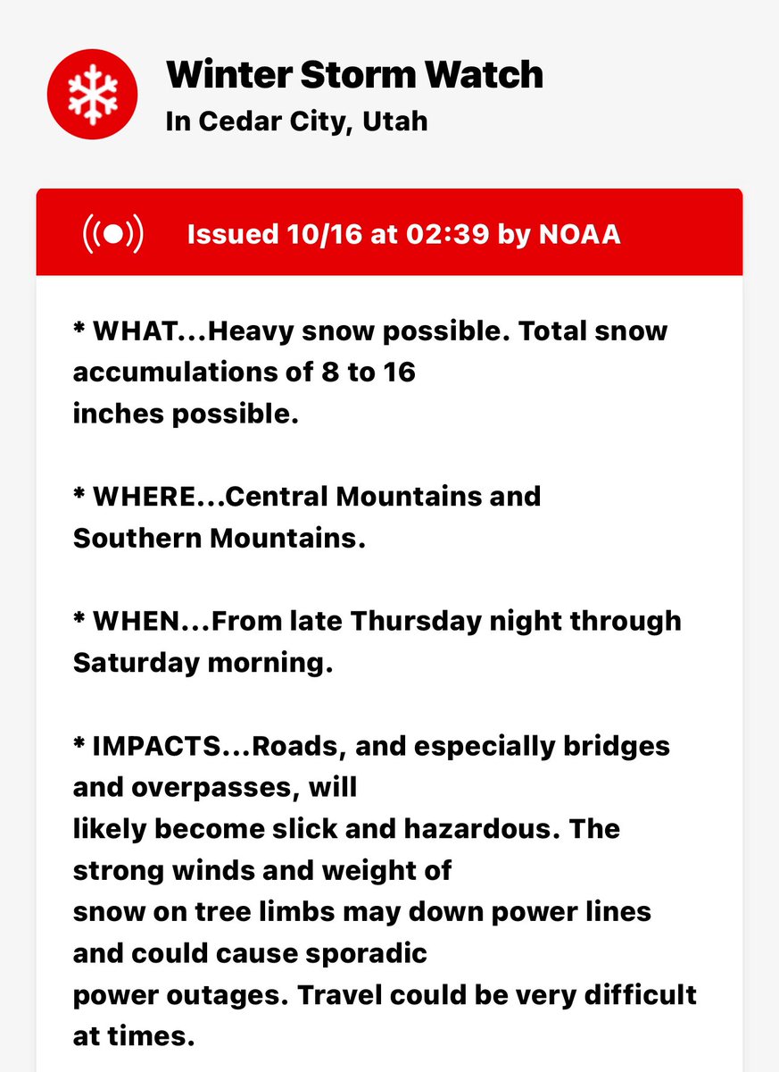
👀 WINTER STORM WATCH 👀
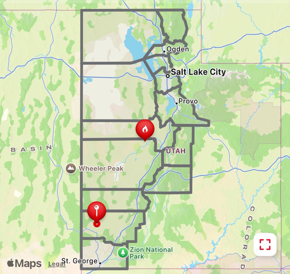
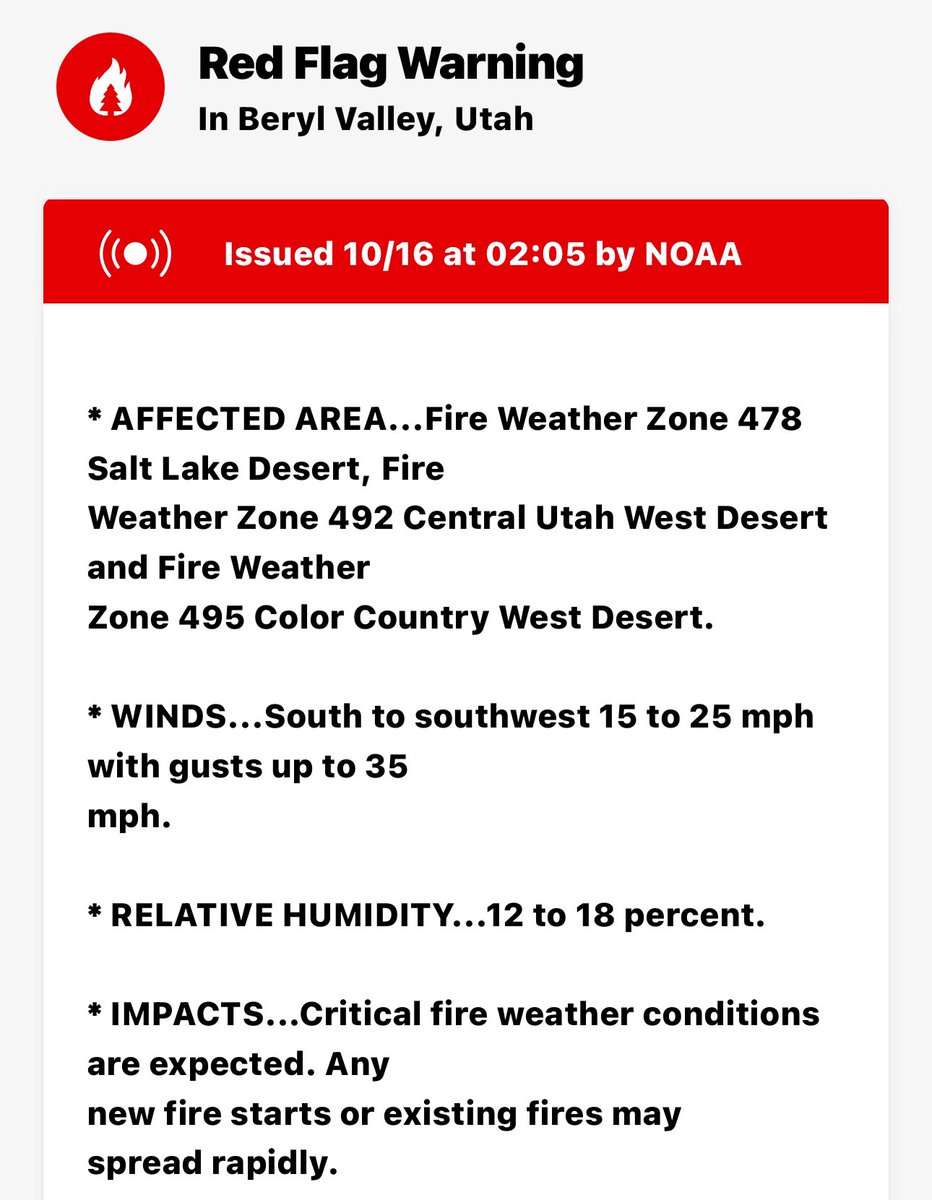
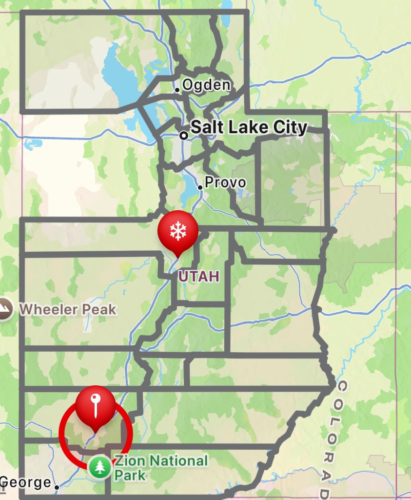
Straight from Red Flag Warning right into a winter storm watch. Central & Southern Mountains. Late Thursday night through Saturday morning. Heavy snow possible. Total accumulations of 8 to 16 inches possible
#utwx#utahwx#Weather#snow
FIRE WEATHER WATCH 👀
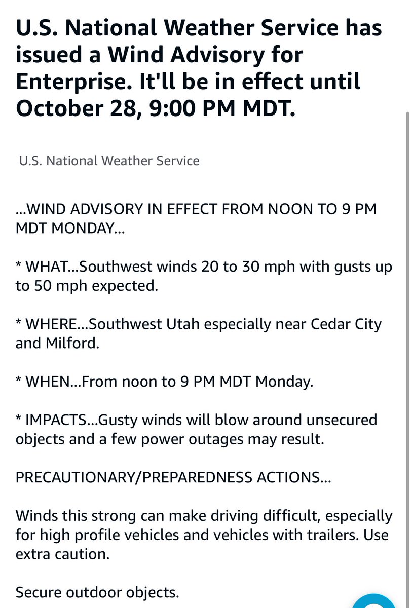
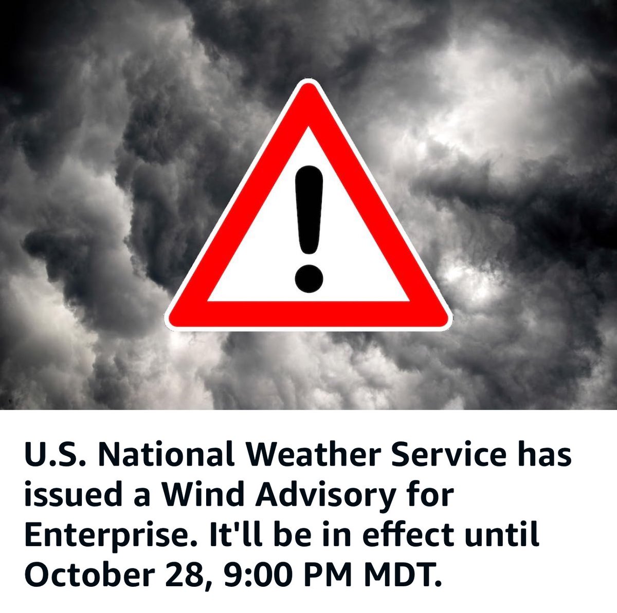
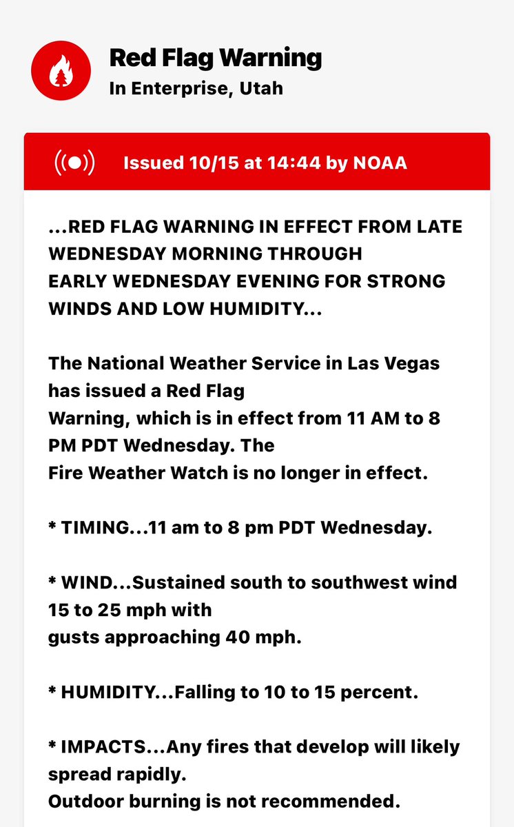
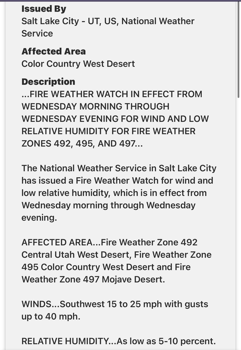
#southernUtah will be in a fire weather watch on Wednesday for wind & low RH. Currently, across Utah, T-Storms have been causing fires. The National Preparedness level went back to a 5 from the current 4, due to an increase in fire activity. #utwx#Utah
@NWSSaltLakeCity Thunderstorm with periods of pea size hail south to southwest of Enterprise near Enterprise Reservoir. Gusty winds with occasional wet and dry lightning strikes. Observed @ 1358 hrs tracking north to northeast
SEVERE THUNDERSTORM WATCH
Yeah, pretty much all of Utah, too many counties and cities to mention for the amount of characters X allows. Stay Safe #utwx#Utah#WeatherAlert#Weather
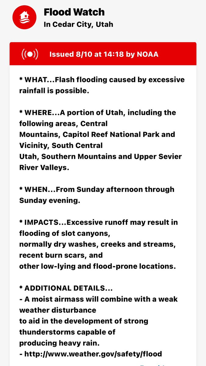
FLOOD WATCH 👀
Portions of Utah- Central Mountains, Capitol Reef National Park, and Vicinity, South Central Utah, Southern Mountains, & Upper Sevier River Valleys. Sunday afternoon to Sunday evening.. Slot canyons, normally dry washes, creeks & streams, & recent burn scars.
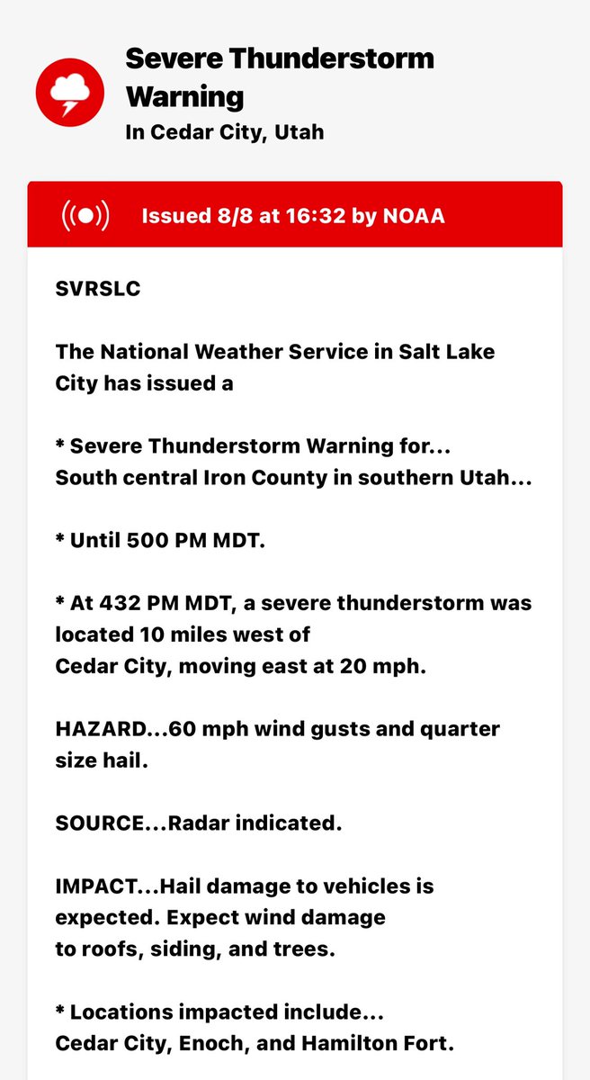
‼️SEVERE THUNDERSTORM WARNING‼️ South central Iron County in southern Utah until 5 PM. A severe thunderstorm was located 10 miles west of Cedar City, moving east at 20 mph. 60 mph gusts & quarter size hail.
#SevereWeather#southernutah#utwx#utah#WeatherAlert
🚩Red Flag Warning🚩
Southern Utah - Red flag warning in effect from 10 AM today to 10 PM Sunday with winds 15-25 mph, gusts to 35, & low RH of 6 to 15%. Critical fire weather conditions are expected.
#southernutah#Utah#utwx#fire#RedFlag#Weather#warning
‼️Red Flag Warning ‼️
Southern Utah Fire Danger (Monday & Tuesday) Triple digit temperatures, Winds 10-25 mph, Gusts to 35 mph each afternoon, early evening. RH as low as 9 to 15 % Sunday & Monday. Critical Fire Danger. #fire#Weather#wxtwitter#utwx#redflagwarning#NWS