A stalled boundary will bring cooler and more seasonal temperatures to far northern Iowa while above-normal temperatures continue elsewhere across the state. There are low (30%) rain chances across far northwestern Iowa today, with more widespread (50%) rain chances Monday. #IAwx
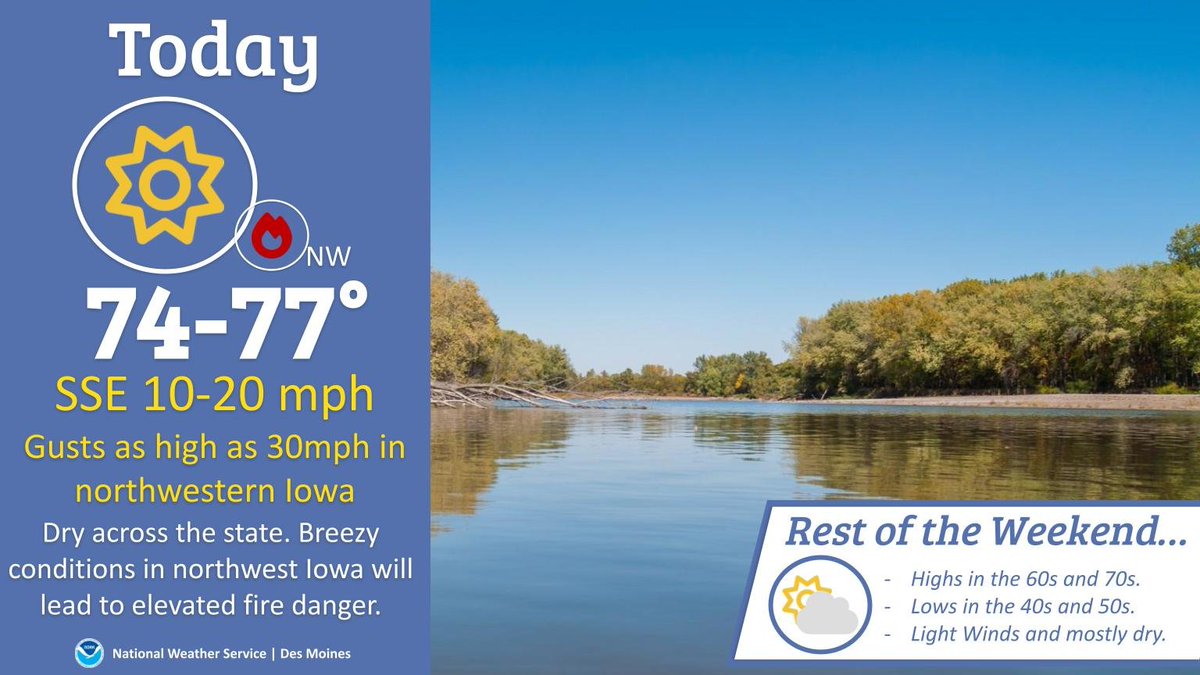
Mild, dry conditions continue today with highs in the mid-to-upper 70s. Breezy winds from the south/southeast from 10-20mph are expected, with gusts as high as 30mph in northwestern Iowa that could lead to elevated fire weather concerns. #IAwx
The cool conditions from today continue tonight as lows drop to near or just below freezing. Know that any sensitive plants may be vulnerable to the frost or freezing conditions tonight! After the cold start Saturday, temps will trend up through the weekend into next week. #IAwx
Above average temps through the 80s, paired with gusty winds, dry conditions and cured cropland will result in elevated fire weather conditions today, especially over western and northern Iowa. Extra caution should be taken when operating farm equipment! Stay safe! #iawx