Weather forecasting & consulting firm located in Oak Ridge, TN. Our mission: Support public safety & local commerce w/ in-depth analysis of weather conditions.
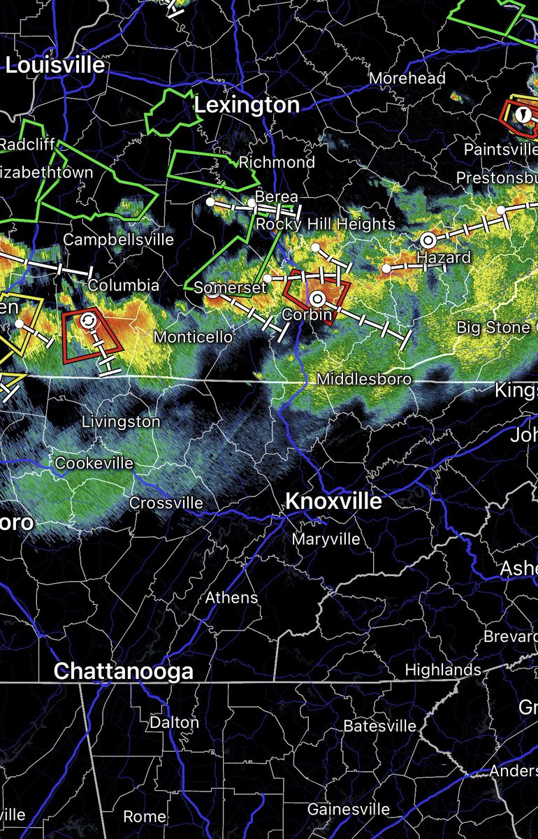
Storms are developing and moving in off the plateau at this hour. Expect these to be strong to severe into this evening, with damaging winds, hail, and the potential for an isolated area of spin up being possible. Stay weather aware! Here’s the latest on radar:
#TNwx
A line of storms is tracking southward this evening into tonight, bringing damaging wind gusts. This will weaken with time, but those in the northern to Central Valley should brace for strong storms over the next 2 hours. #TNwx
A severe thunderstorm watch is in effect for these bordering KY counties, including portions of the plateau and west-central valley. This is in effect until 1 am, with most strong to severe storms expected to move in before midnight. #TNwx
A line of strong to severe ⛈️ continues to sink SE out of KY. The good news is we are seeing a gradual decrease in strength for the eastern flank. Guidance suggests portions of the western central valley & plateau could see strong storms into tonight, so be weather aware. #TNwx
Showers & storms remain across East TN this afternoon, especially across the southern valley. These are slow moving and dumping heavy rainfall rates. The good news? We have seen a downward trend in activity, which should continue thru the evening. #TNwx