Solo builder in Belgium. SevinHub: small sharp tools instead of one bloated platform. Invisible Atlas: mapping the signals you can't see. #buildinpublic
Earth from 540 million years ago to today: the first animals, Pangaea, the dinosaurs, the asteroid, India hitting Asia. The whole story in 7 minutes 🌍 https://t.co/DjvFDYVqLC #Pangaea#Earth
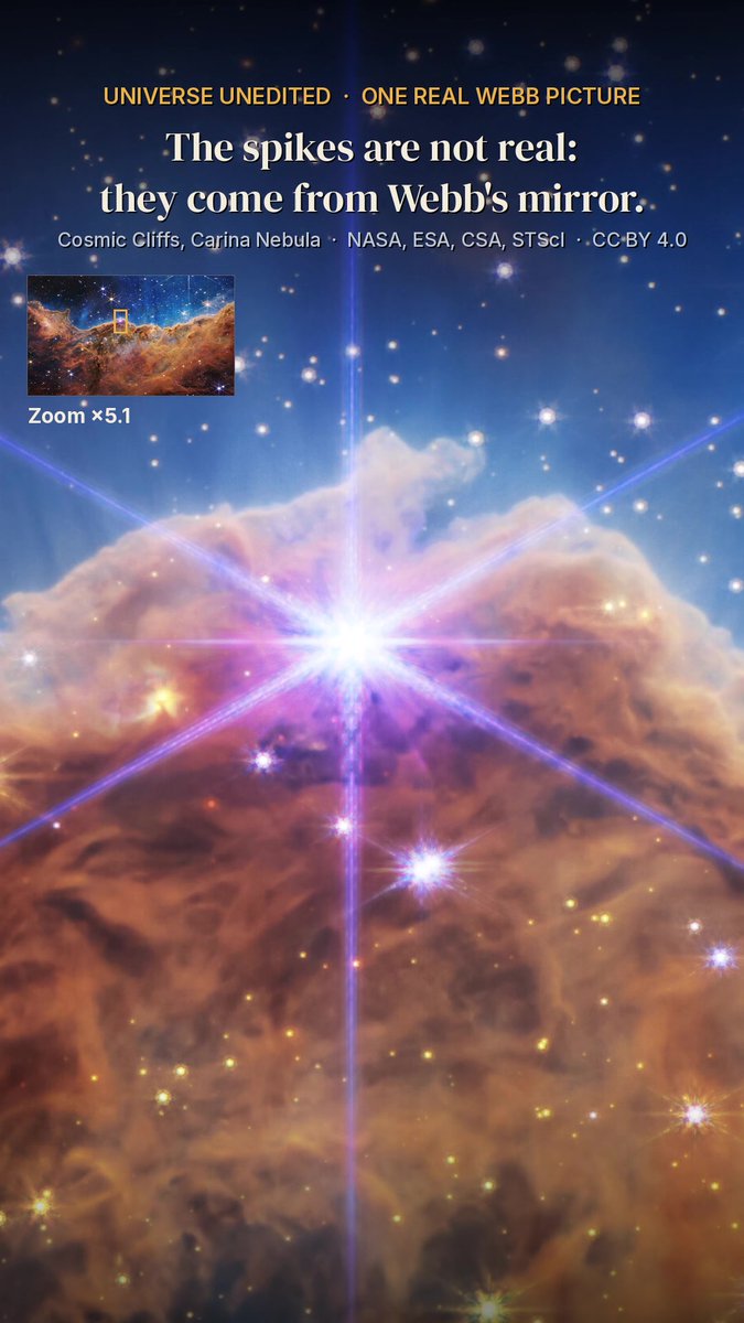
Zoom into a real James Webb picture: the Cosmic Cliffs, 7,600 light-years away. Those spikes around stars? Webb's mirror, not the stars 🔭 https://t.co/Oi3ZJuBzVL #JamesWebb#space
What Earth looked like 540 million years ago: a real photo of today, then the continents drift back to Pangaea 🌍 https://t.co/qFhylxDXIW #Pangaea#Earth
This island lived for only 7 years: Hunga Tonga from space, one real satellite picture per year, until the 2022 explosion 🌋 https://t.co/42gGAbkjI7 #volcano#Tonga
Beijing from space, 1984 to 2025: one real Landsat picture for every year, then the Forbidden City and the Bird's Nest up close 🛰️ Which city next? https://t.co/tAFOy1IeMo #Beijing#space
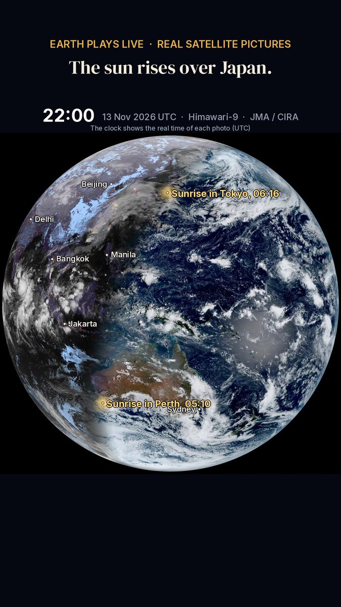
The same day from the other side of the planet: the sun rising over Asia, seen by Japan's Himawari-9 satellite, a photo every 10 minutes 🌅 Where are you watching from? https://t.co/1vX1p381r4 Pictures: JMA, CIRA/NOAA
One real day of Earth from 36,000 km: a real photo every 10 minutes by NOAA's GOES-19, 13 Nov 2026. Night over the Americas, then the sunrise sweeps across 🌍 https://t.co/vZX7dP86SU #Earth#space
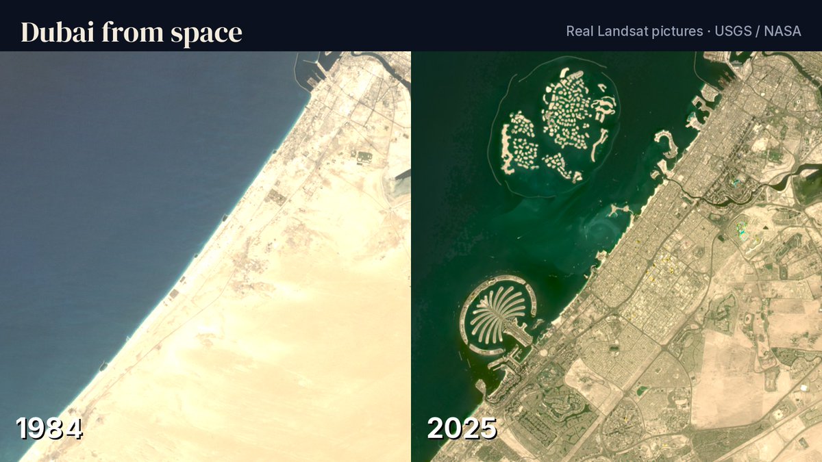
Dubai from space, 1984 to 2025: one real Landsat satellite picture for every year. Nothing painted, nothing added. Watch the Palm rise out of the sea 🛰️
https://t.co/gKRz3xyj6h
#Dubai#satellite
The map of your city is full. The map of the signals around it is not. Coverage Run gives you turn-by-turn directions toward the hexagons nobody has measured yet.
https://t.co/4vPLxapIfE
#invisibleatlas#buildinpublic