Meteorologist-in-Charge, NWS Dallas/Fort Worth, proudly serving North Central Texas. Chicken wrangler. Would-be Ansel Adams armed with an iphone. Sooner/Nole.
Rarely use this platform for negative reviews, but need to share this for the benefit of other #DFW consumers. Had a very poor customer service/communication experience with the @safelite shop in N Fort Worth. Windshield repair? Don't let the ads lull you; do your homework.
The weather community lost a true legend this week with the passing of Gary England. He was a pioneer with his groundbreaking use of Doppler radar and helped set the standard for TV severe weather coverage. He was a good friend and great partner to NWS and he will be missed.
Love him…or not - regardless, Gary England heavily shaped the future of severe weather coverage in Oklahoma. He was also a huge influence on me personally, as I grew up as a young weather nerd in Shawnee, watching him through the 70s and into the 80s. Meaningful passing.
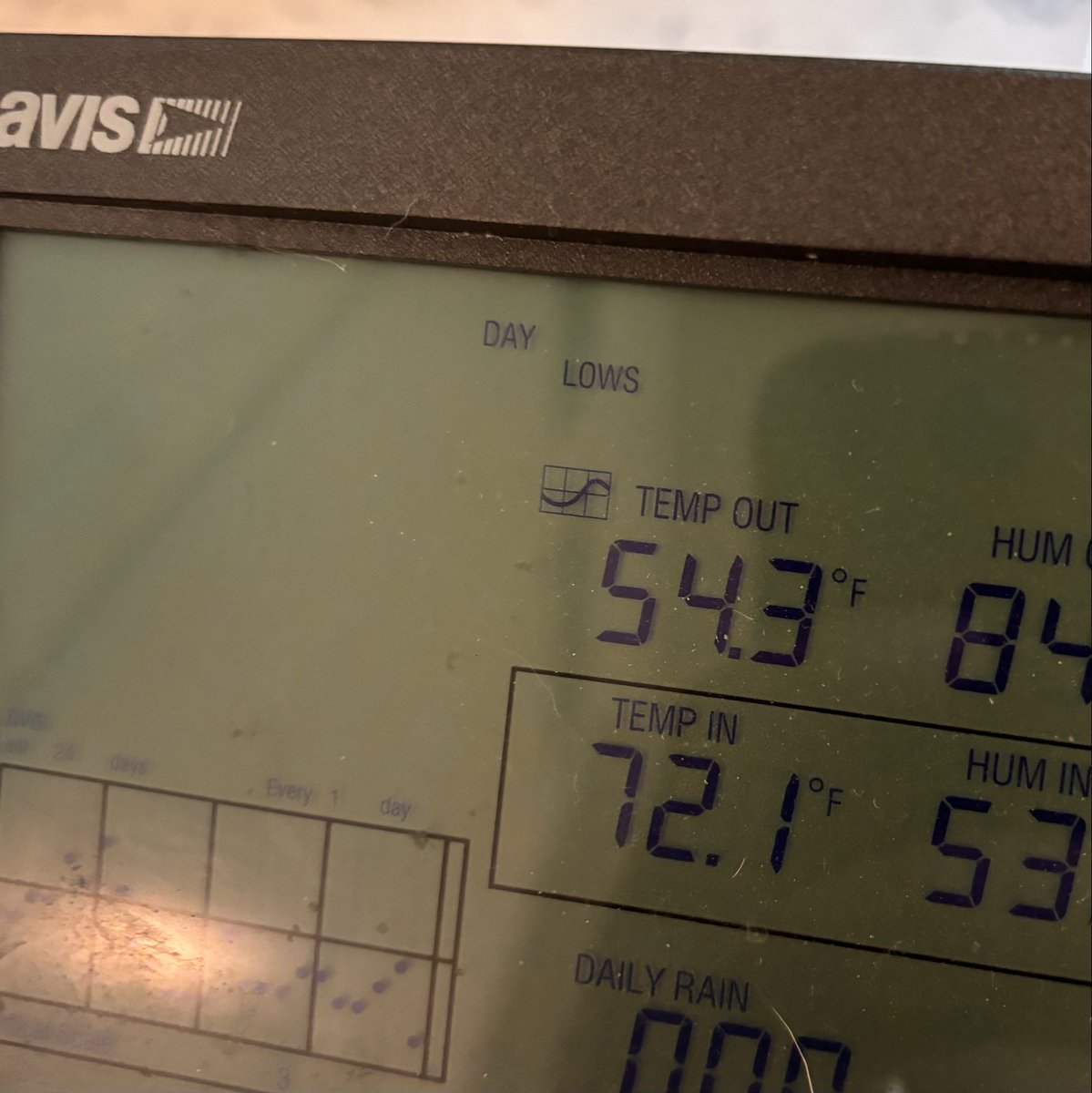
We broke below 60 degrees this morning out here west of Justin. Almost certainly the last time we’ll see temps this cool until September at the earliest. Buckle up for summer now!
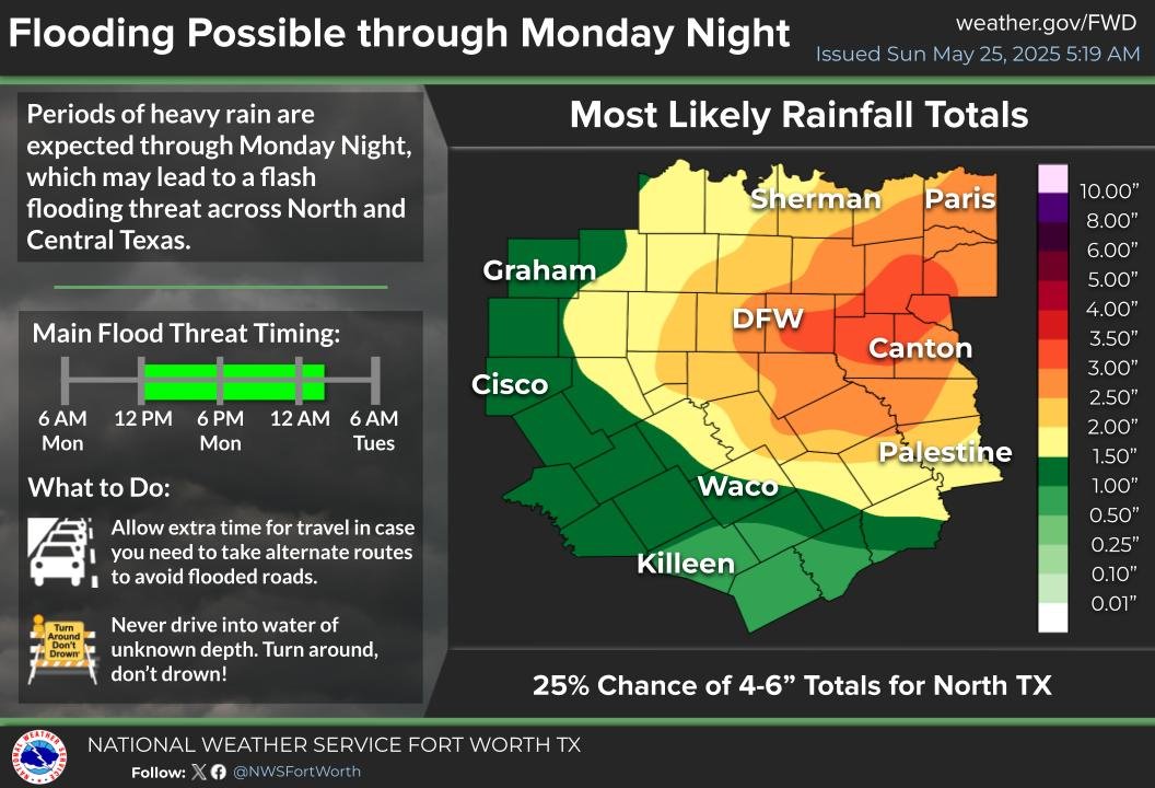
Not everyone in N TX will see flooding over the next 48 hours. But for those who do, factor this into your plans. Some of your usual access points MAY be impacted. Have a plan!
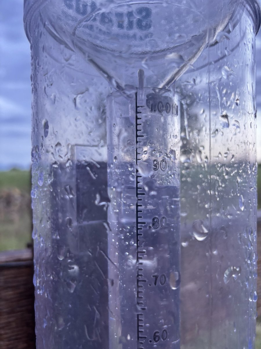
Periods of heavy rain are expected Sunday night through Monday night. Some locations will pick up more than 3". The greatest flooding threat will be from noon Monday until after midnight. Allow extra travel time and remember, Turn Around Don't Drown! #dfwwx#ctxwx
Periods of heavy rain are expected Sunday night through Monday night. Some locations will pick up more than 3". The greatest flooding threat will be from noon Monday until after midnight. Allow extra travel time and remember, Turn Around Don't Drown! #dfwwx#ctxwx
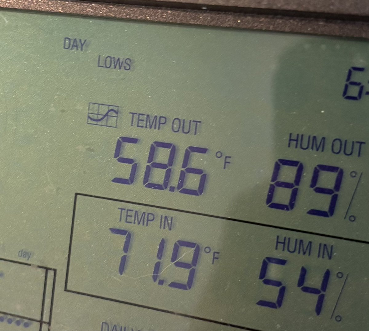
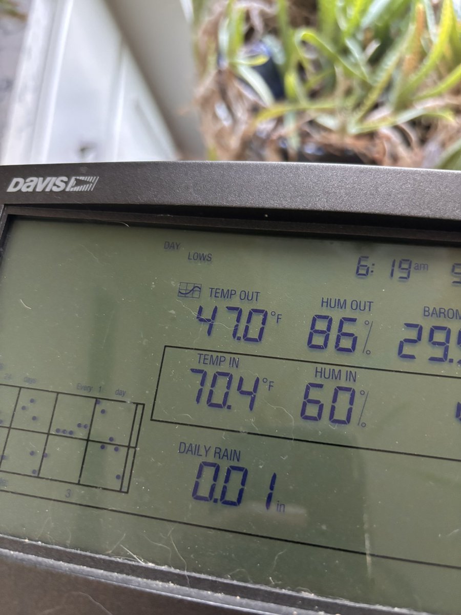
We plunged to a nippy 47 degrees this morning here in the wilds of western Denton County. Almost certainly the last low in the 40s until next fall. Hope you all enjoyed it!
And one more thing. We’re all infatuated with tornadoes, but flash flooding and damaging winds can ALSO hurt you and totally ruin your day. You’re just as likely to encounter these threats in N TX today, vs tornadoes. Respect strong straight line wind AND the power of water.
If you live in N TX today, expect a tremendous amount of hype about severe weather today. CONTINUE TO LIVE YOUR LIFE. 😊 All we ask is that you stay calm yet mindful to the weather today. Put it in your personal Top 10. Monitor for watches/warnings. Follow your safety plan.
Like I’ve mentioned many times at preparedness talks, there are certain days in the year (in N TX at least), where weather (&weather safety) has to move from about #100 on your personal life list up into the Top Ten. Tomorrow (Wednesday) is one of those days. BE READY.
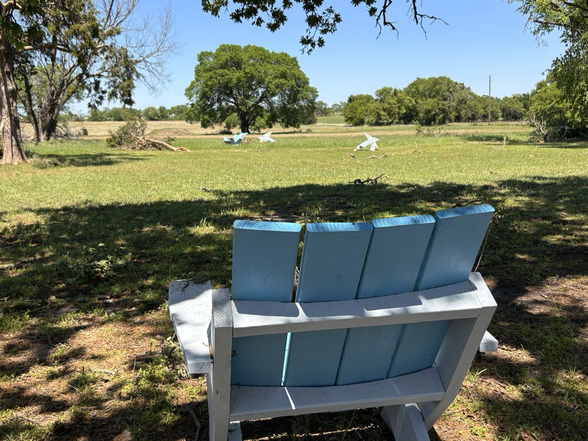
Certainly not in the same exotic tornado damage category as feathers driven into tree trunks or some such…but was intrigued to see these HEAVY (75+ lb) Adirondack chairs tossed/rolled way out into this field, away from the circle they were in together. (Montague County)
Productive day prowling around Jack and Montague Counties, surveying multiple tornado tracks. Identified 5 definite tornadoes, with 2 more likely to be added tomorrow. Mostly high end EF-0 tree/minor structural damage. Proud of all our FWD teams that went out today.
😶🌫️🌫️Esta tarde, una gran tormenta de área avanza por #Chihuahua y #Texas; ráfagas de viento de hasta 100 km/h genera una extensa y densa nube de polvo desplazándose hacia el Sur.
Visibilidad reducida a tan solo unos metros.
❌No se espera que llegue a #Tamaulipas.