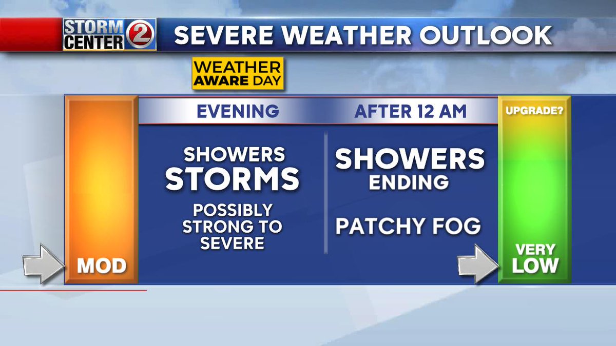
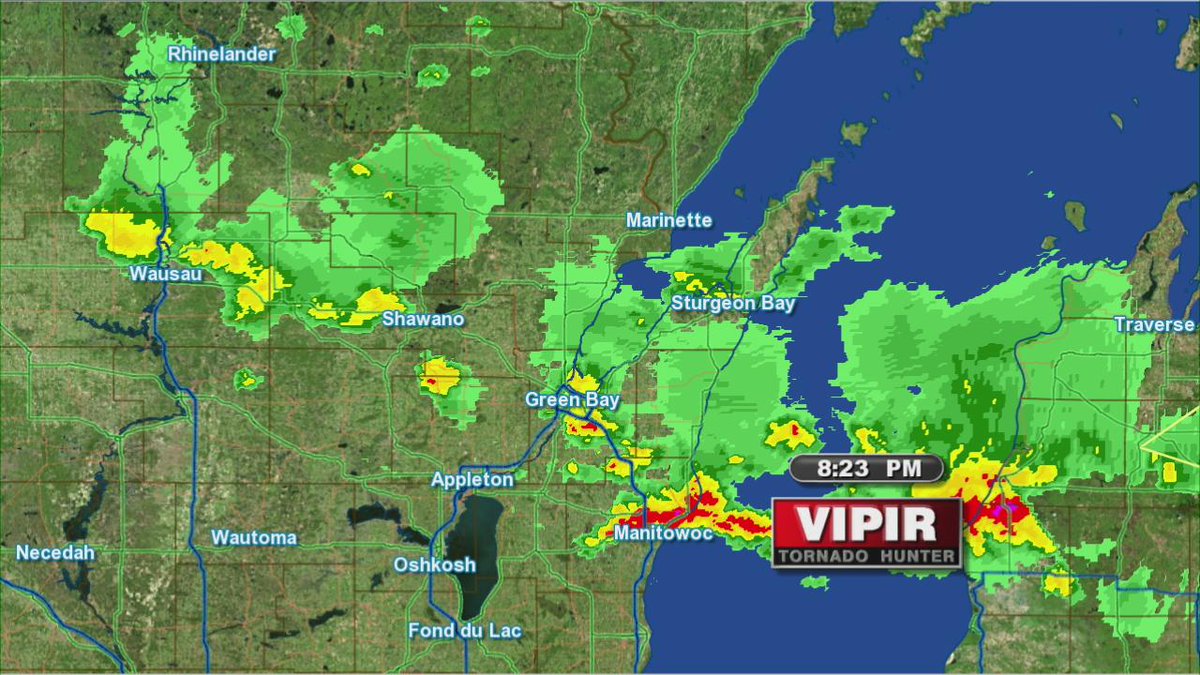
There is a CHANCE of storms through about 8pm. If any pop-up they could be strong, possibly severe especially north. The good news however, is the chance of storms does not look as likely as it did earlier in the day! Still, keep informed. #STORMCENTER2
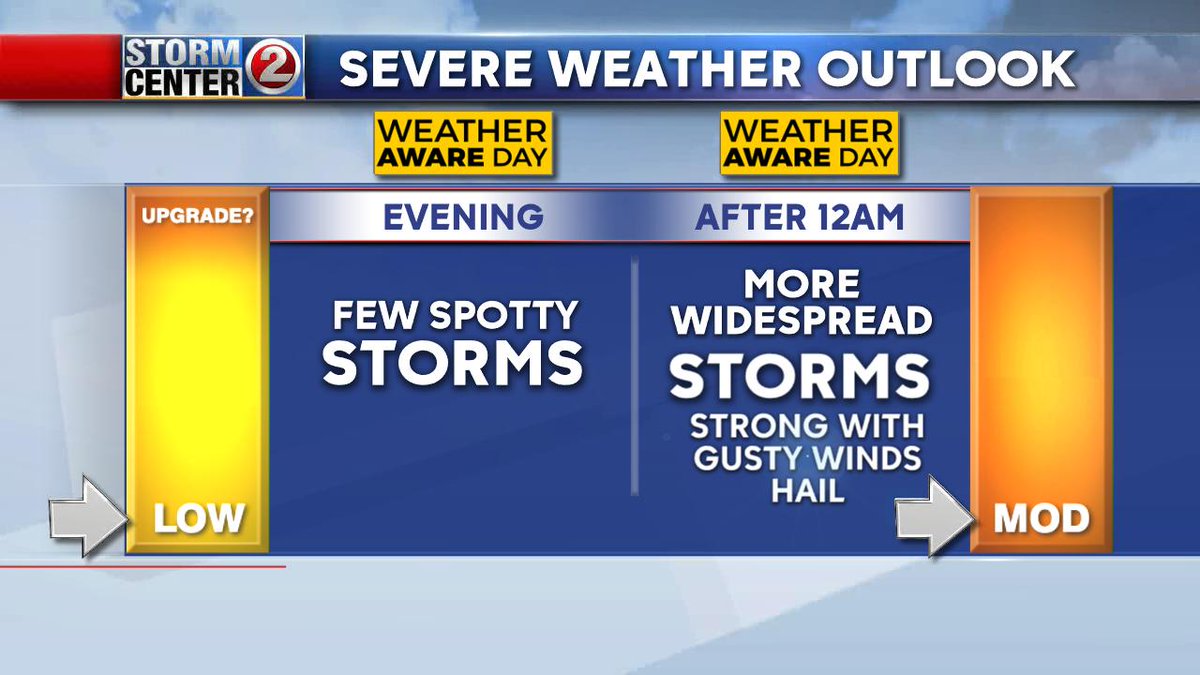
WEATHER AWARE DAY... Just a few spotty storms this evening, more widespread and more powerful storms expected toward or after midnight. Main threats: Heavy downpours, strong winds, hail...Small chance of a tornado. KEEP INFORMED. #STORMCENTER2#WIWX
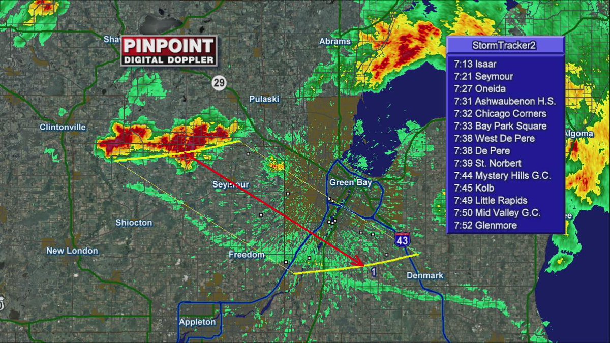
STRONG THUNDERSTORM TO PASS BETWEEN APPLETON AND GREEN BAY... Hail to 3/4"...gusts to 50 mph... brief heavy downpours. Moving SE 35 mph. #STORMCENTER2#WIWX
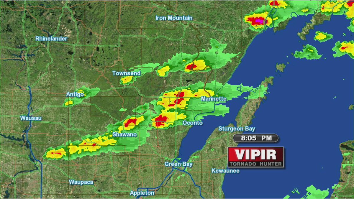
STORMS NOW ENTERING WESTERN WI... A Tornado watch has also been issued there until 12AM. Storms should become more numerous as they move & develop northeastward. #STORMCENTER2#WIWX
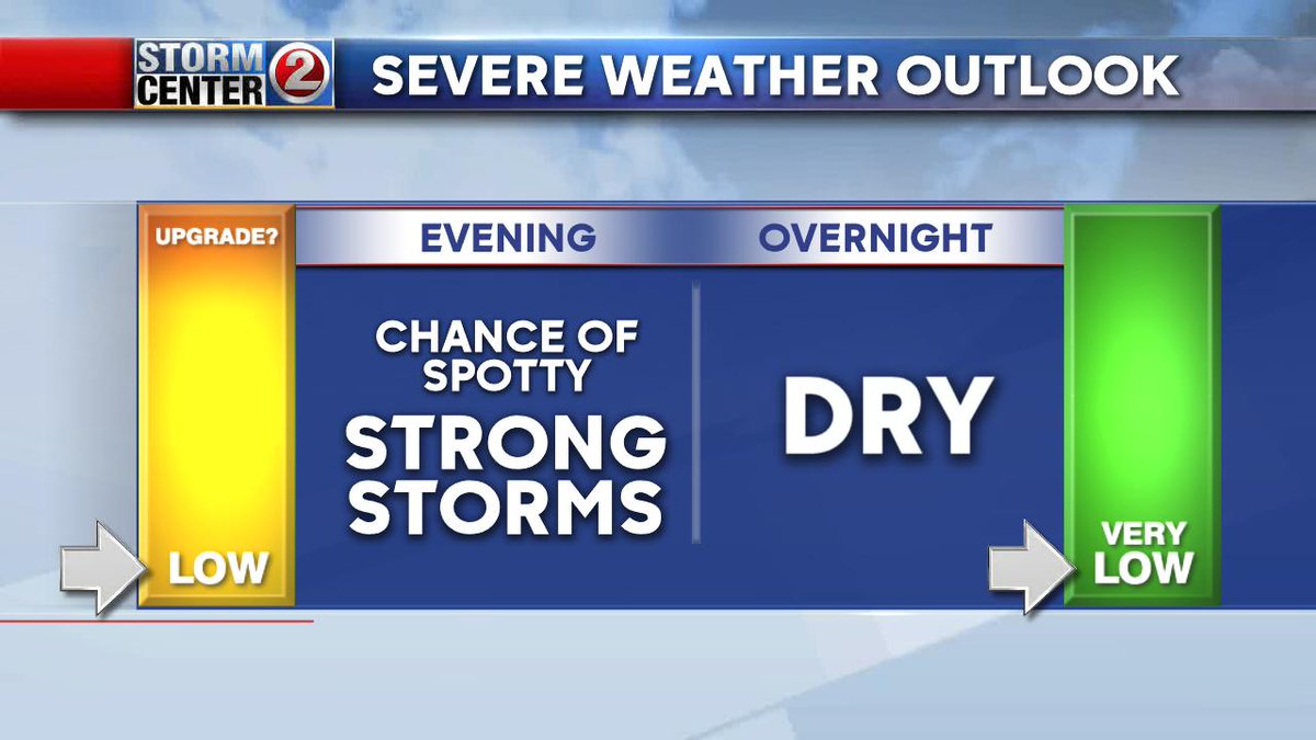
The evening may bring a few spotty storms. Any storms that pop-up could quickly turn severe with damaging winds, hail and possibly a tornado. That risk quickly disappears by midnight and the second half of the night will be dry. Live updates at 5 & 6pm.
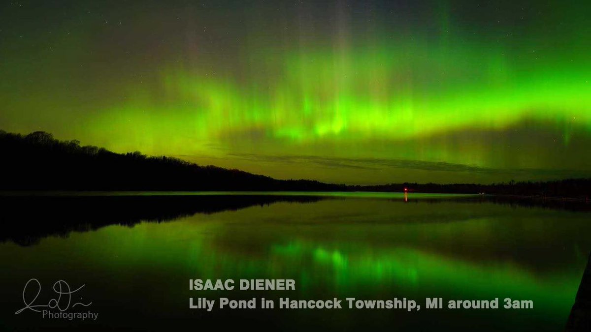
Northern Lights spotted early this morning. Another major solar storm should trigger more northern lights Wednesday Night into the pre-dawn hours Thursday. There may be some clouds though... #STORMCENTER2#WIWX
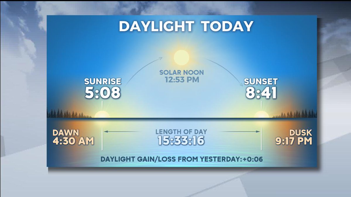
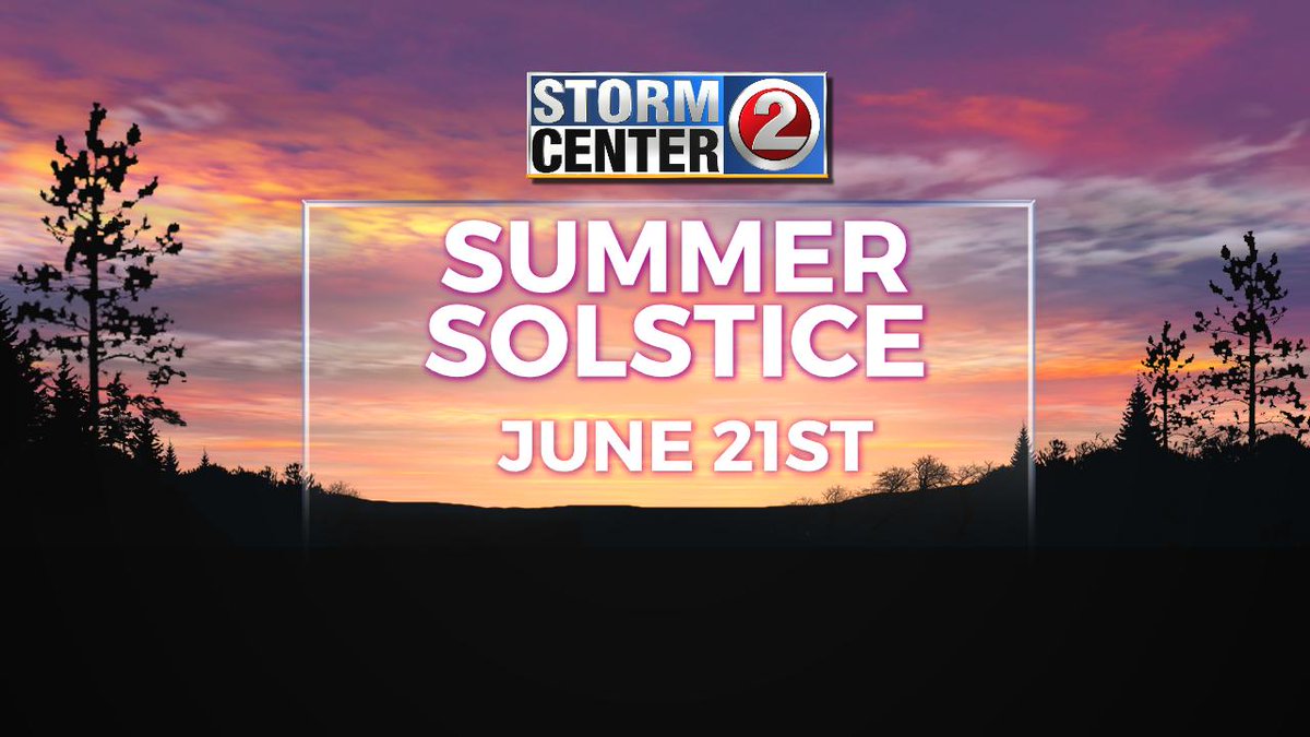
Here's a thinker for you... As of today, we are exactly 6 weeks away from the longest day of the year! Which also means we are 6 weeks and one day away from the days getting shorter again - ALREADY!!! #STORMCENTER2#WIWX
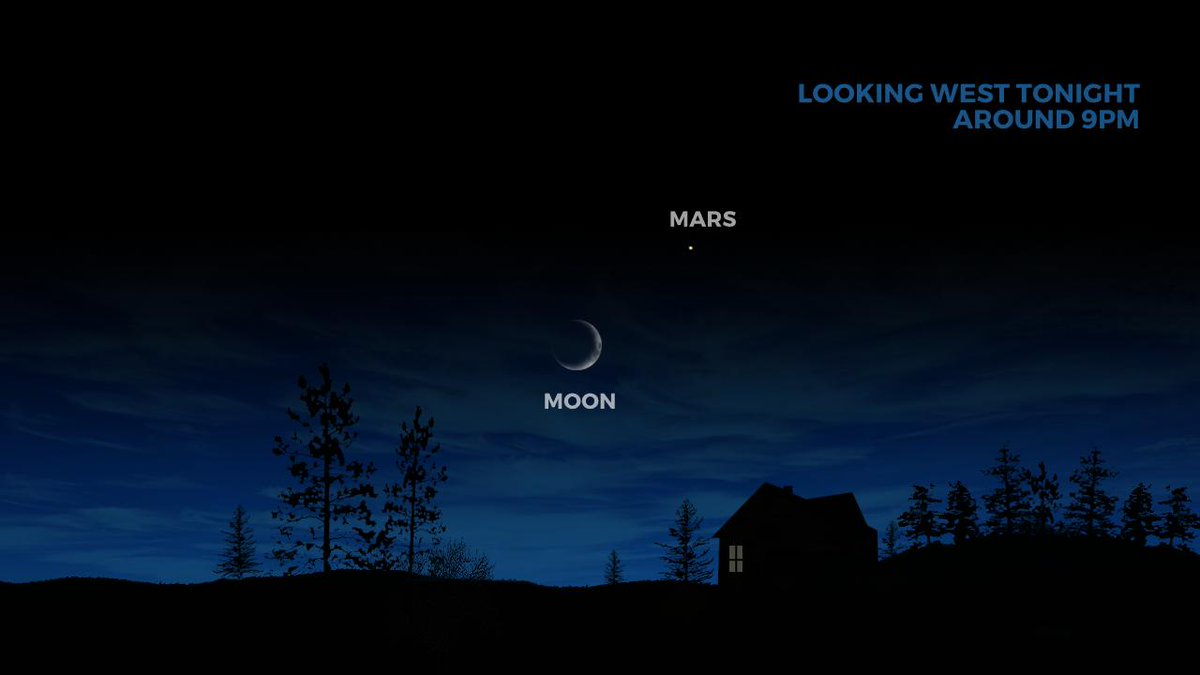
ASTRO EXTRA - Look for MARS to the upper left of tonight's cresent moon. There will be some patchy clouds... So not everyone will see this. #STORMCENTER2#WIWX