👀 Look at all of these beautiful #GISDay events!
🗺️ 3,000 across the globe in 143 countries.
🤚 And it's not too late to host an event: https://t.co/sBSIPw4dOc
Our program has earned the #14 ranking in a Best Online GIS Certificates guide for 2023-2024: https://t.co/USO3ZpvlQZ
For further information on our certificate, go to https://t.co/eEDfGKhoBK
Come see me & hear about efforts to track Myaamia Tribal landholdings over time in the Land Tenure Issues at GIS-Pro 2023 https://t.co/wa4zZNtXiR @URISA#gispro2023@sched
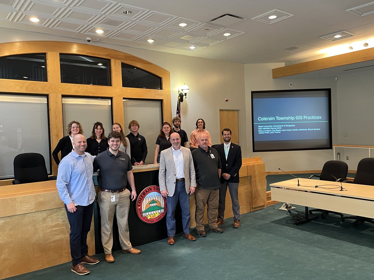
GEO 460/560 "Practical Applications in GIS" students Joeh Coots, Luke Thorne, Zoe Blank, Reena Murphy, Juliana Curtis, Rebecca Bauer, Charlie Johnstone present their recommendations to Colerain Township on GIS Practices.
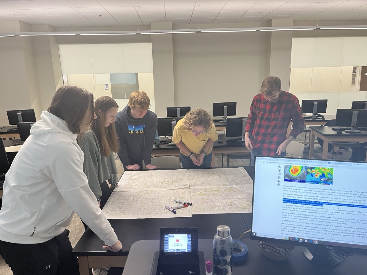
GIS students participating in a mock Hazard Mitigation Planning public meeting. Plotting out tornado paths and train derailments! #GIS#MUGeography#MiamiUniversity
Great opportunity!
@OpenStreetMapUS is looking for a self-motivated U.S based college/university student to support the 12 Months of OpenStreetMap initiative as their Community Engagement Intern.
For more information ⤵️
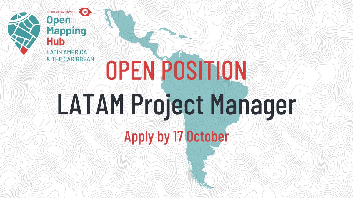
The #LATAM team is hiring a Project Manager!
We are looking for someone with experience in end-to-end project management and tooling, monitoring and evaluation, and ability to learn and adapt in new contexts.
Tomorrow is the last day to apply! https://t.co/hcaXYa2jDu
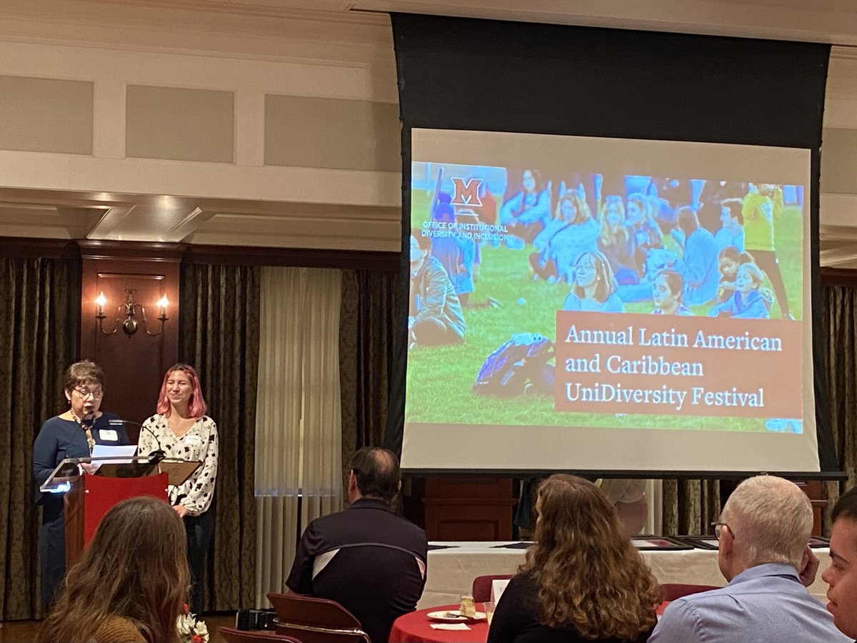
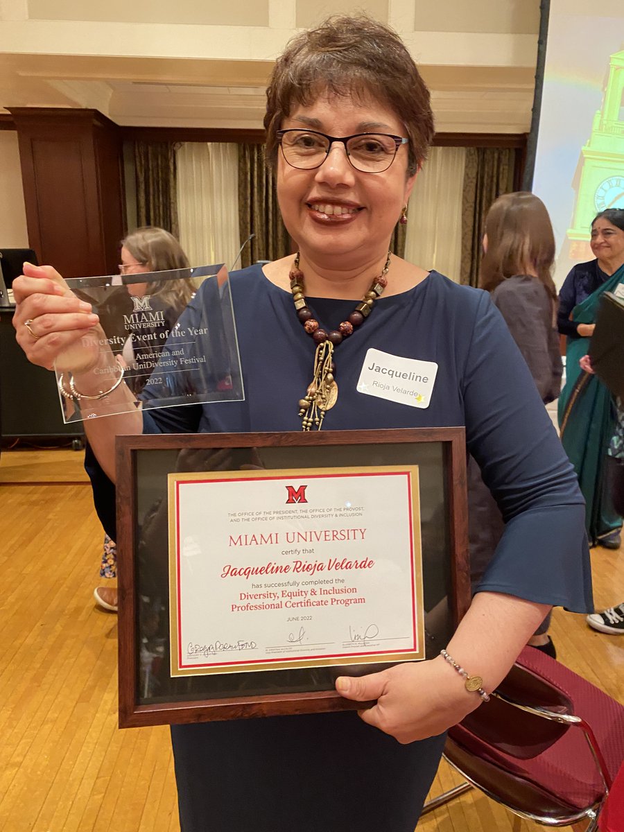
#MiamiOHGlobal congratulates our colleague Jacqueline Rioja Velarde, who received the 2022 Miami University Diversity and Inclusion Diversity Event of the Year Award in recognition of the impact of the Latin American and Caribbean UniDiversity Festival (https://t.co/Oyj6PvycRt)!
The Bird Migration Explorer launched by the @audubonsociety is an interactive digital platform that visualizes the incredible journeys of migratory birds and how they connect us.
🔹Take a tour: https://t.co/6tgkwrU8r2