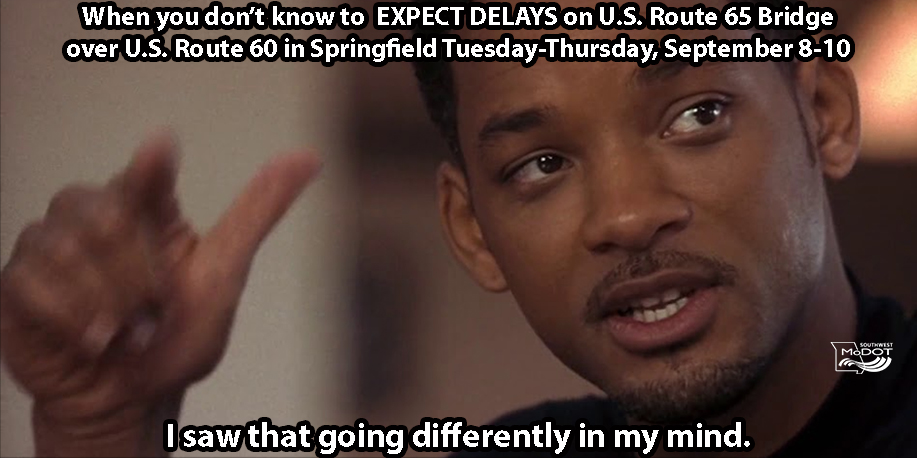
Northbound U.S. 65 left lane closed at bridge over U.S. 60 in southeast #Springfield from 9 a.m. Tues, Sept 8, until as late as 8 p.m. Thurs, Sept 10 as crews clean and seal the bridge deck/driving surfaces on northbound U.S. 65 bridge over U.S. 60.
#MoDOTSW#Hitch#SGFD
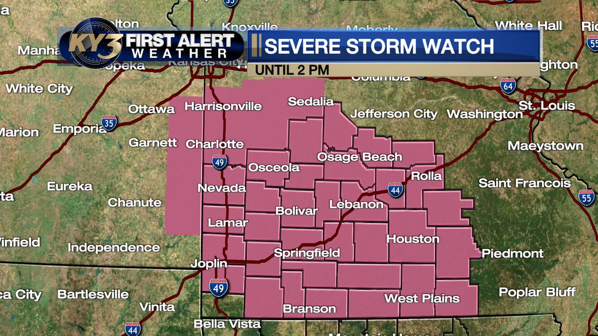
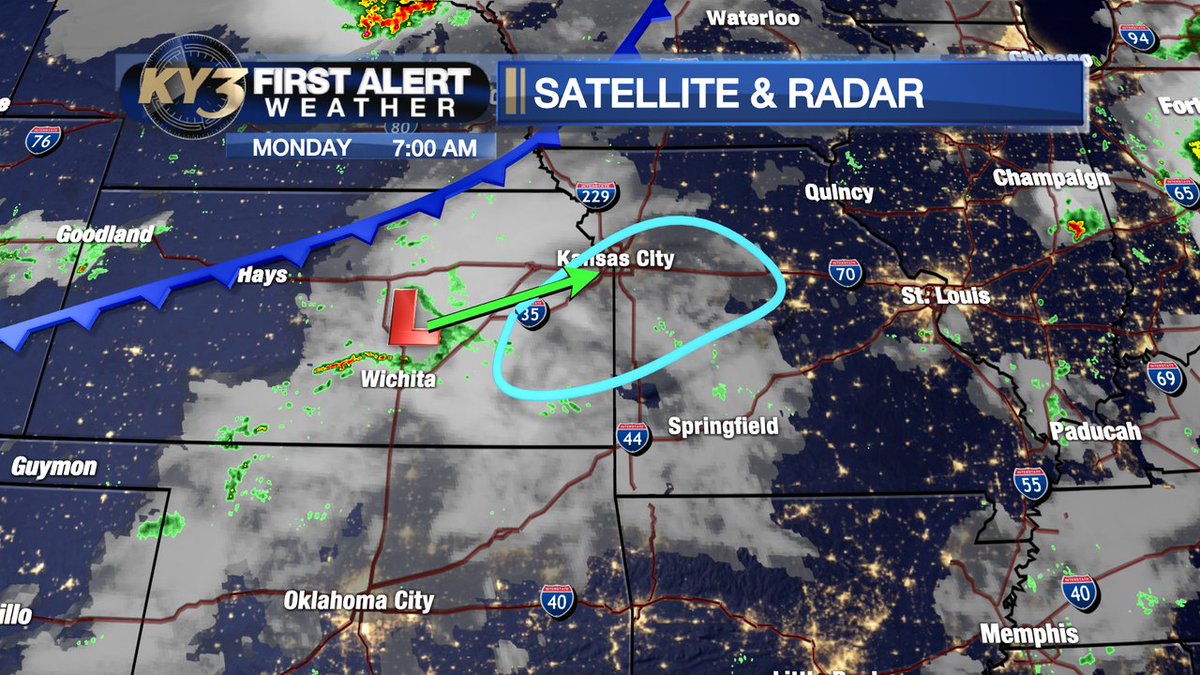
FIRST ALERT WEATHER: JUST ISSUED...A #SEVERE THUNDERSTORM WATCH is up for all of southern and central Missouri until 2 pm. Storms coming at us from the Kansas City area will pack high winds from mid-morning in central Missouri into the early afternoon over southern #Missouri.
FIRST ALERT WEATHER: While various models handle the timing differently, I think storms are possible by early afternoon across parts of central Missouri as an upper low moves toward the Kansas City area. High wind and large hail are possible. Stay aware of the sky today!
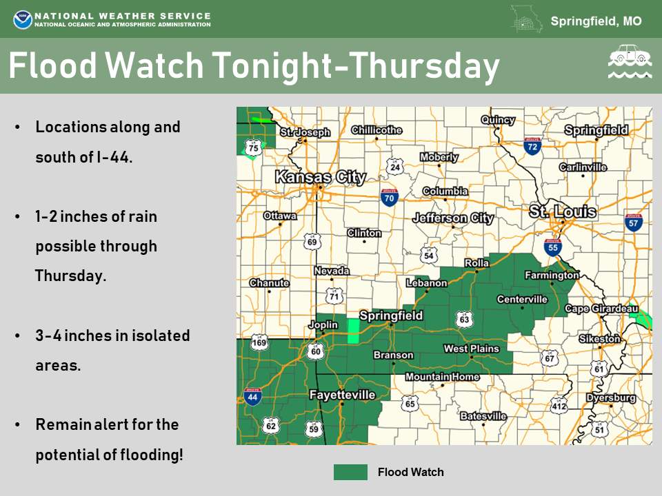
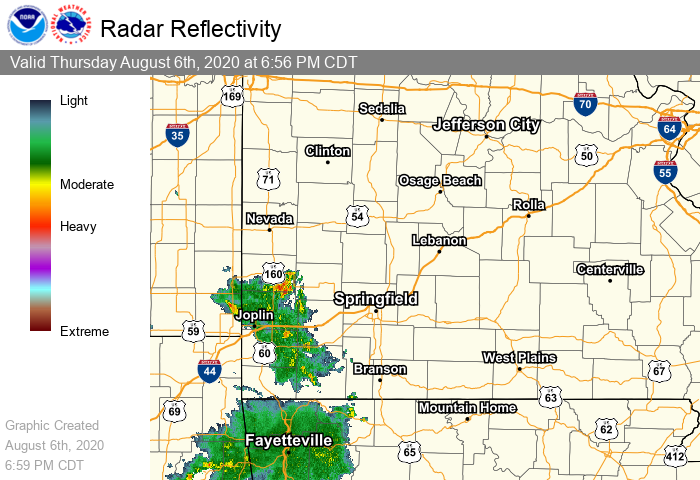
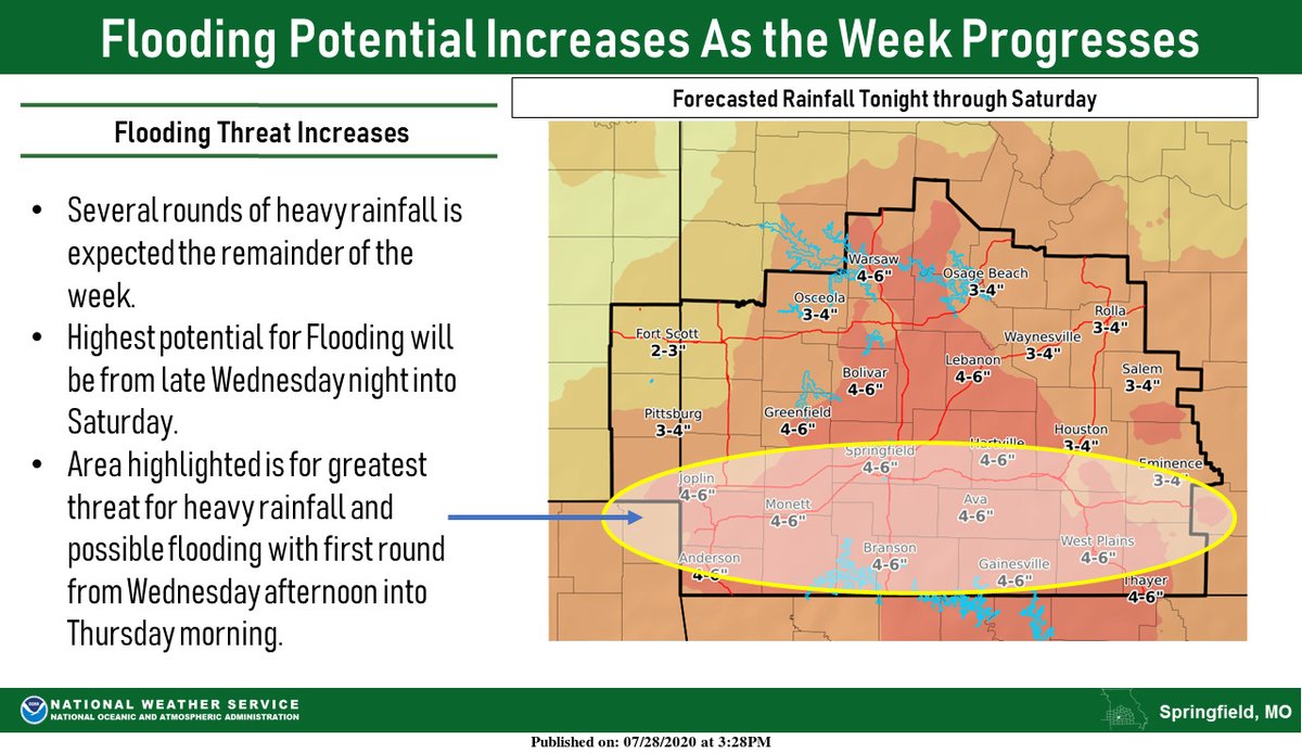
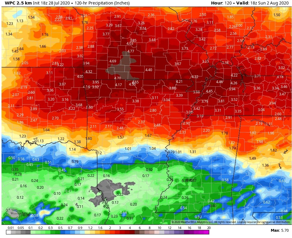
Showers and storms will move through the area tonight through Thursday. Many areas can handle a few inches of heavy rainfall without problems, however some flooding may still be possible given the terrain, mainly along and south of Interstate 44. #sgf#mowx#ozarkswx
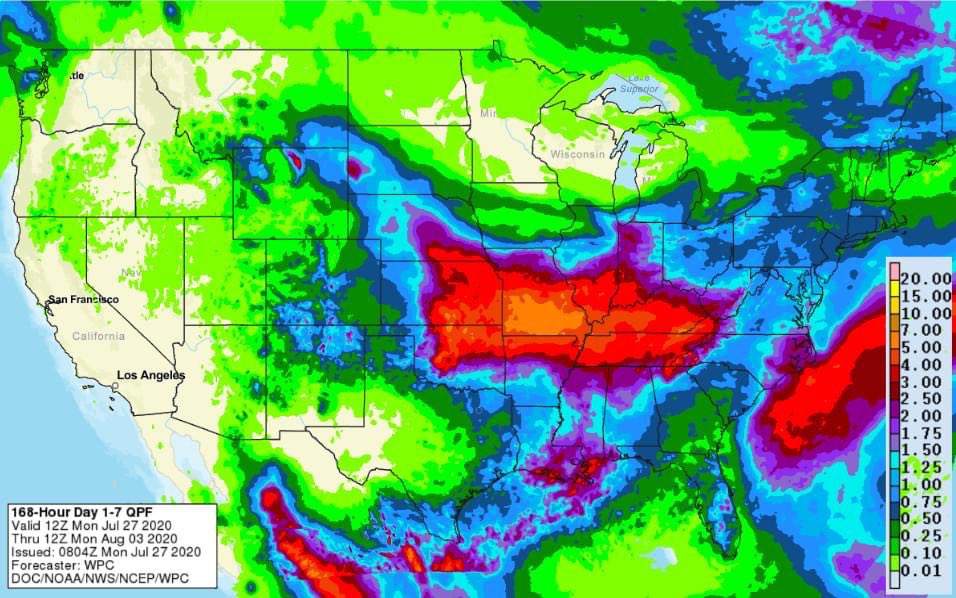
Rain totals might become an issue this week.
The totals won't be as uniform as most accumulation projections due to locally heavier downpours.
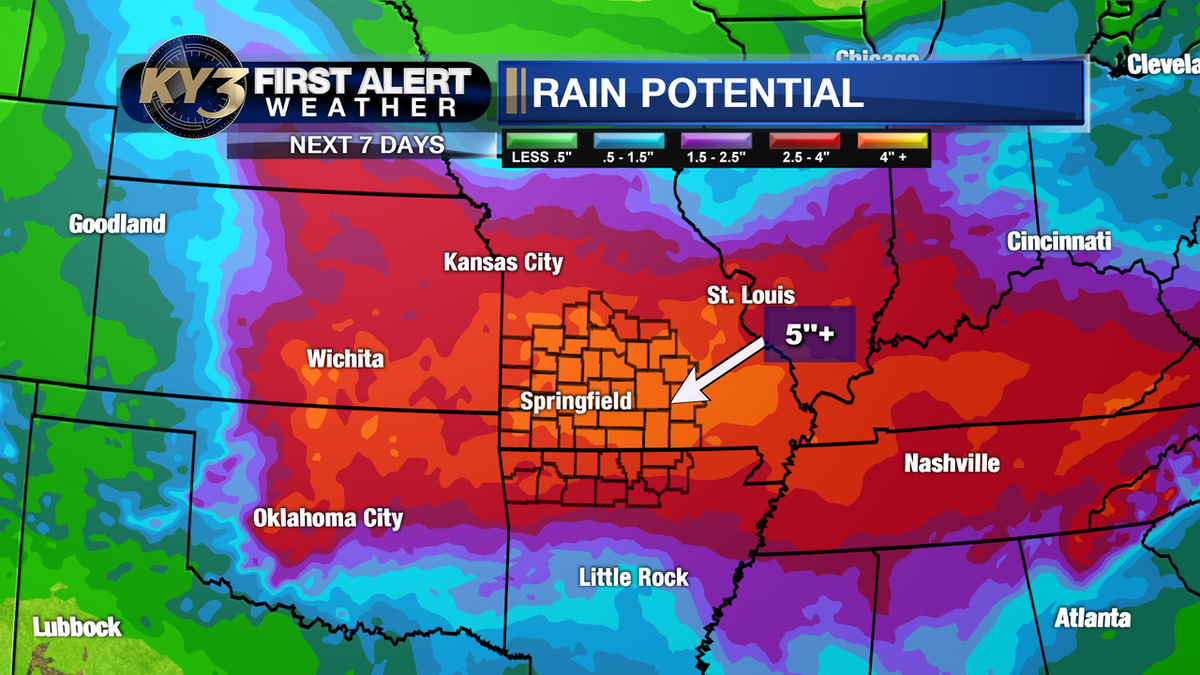
That said... the saying "when it rains it pours" applies this week and upwards of 4"+ will be a possibility.
FIRST ALERT WEATHER: Oh boy, this could be a heck of a turn-around compared to recent hot/dry weather. A meandering front and tropical-like moisture will lead to the chance of multiple rounds of storms this week. Rain totals may top 5" in spots by the end of the week! #Ozarks