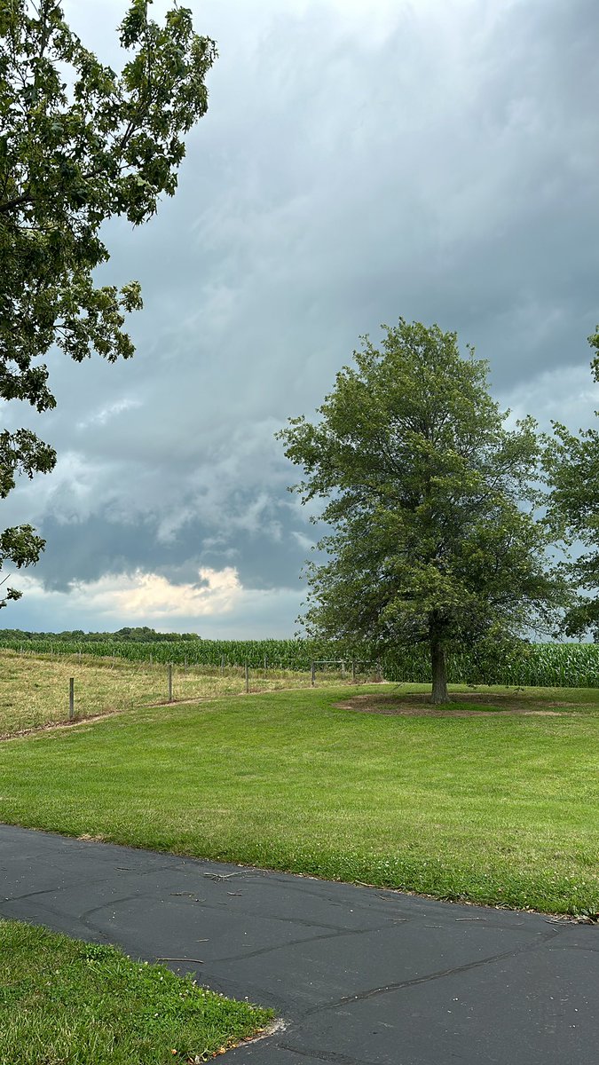
Conditions will transition from damp and cloudy this morning to bright and breezy as seasonable warmth finally returns this afternoon. Few more showers late tonight, with dry and cooler weather for Sunday and Monday. #INwx
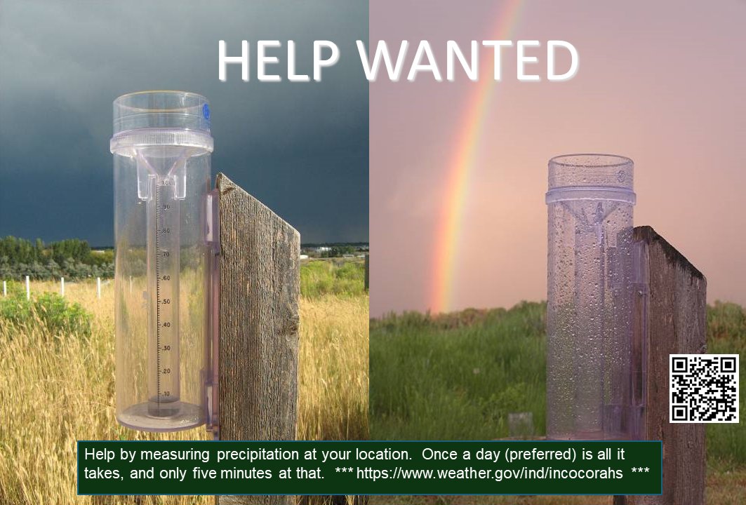
Backyard scientists wanted! ⛈️
Help track Indiana’s weather by measuring rain, hail, and snow. It only takes 5 minutes a day to provide vital data for meteorologists.
Join the CoCoRaHS team today:
🔗 https://t.co/pEsp7Hdt5j
#INwx#CoCoRaHS#CitizenScience
Dense fog continues across much of central #inwx this morning. Visibility may change in short distances, as can be seen in this image from I-69 near Martinsville from our friends @INDOT. Use caution if traveling this morning.
First snow of the season here at the office! Accumulations have been confined mainly to grassy and elevated surfaces, but falling temperatures overnight may result in icy travel conditions for the Monday morning commute. Stay tuned for further updates. #inwx
Mainly dry conditions are expected to continue through mid-month. When coupled with increasing chances for above normal temperatures (left map), this will present the risk of Rapid Onset Drought along the Ohio Valley and much of the Midwest next week (right map). #INwx
Showers and thunderstorms are expected at times through tonight. Dangerous lightning and heavy rainfall producing localized flash flooding will be the primary threats. A few storms may produce damaging winds late this afternoon and evening. #INwx#indy
Heat miser to let go of the mild weather to start January as Cold miser takes charge in January. Several chances of rain will accompany the warm air between Christmas and New Years Day. Colder air is expected to invade in January and continue through at least mid month.
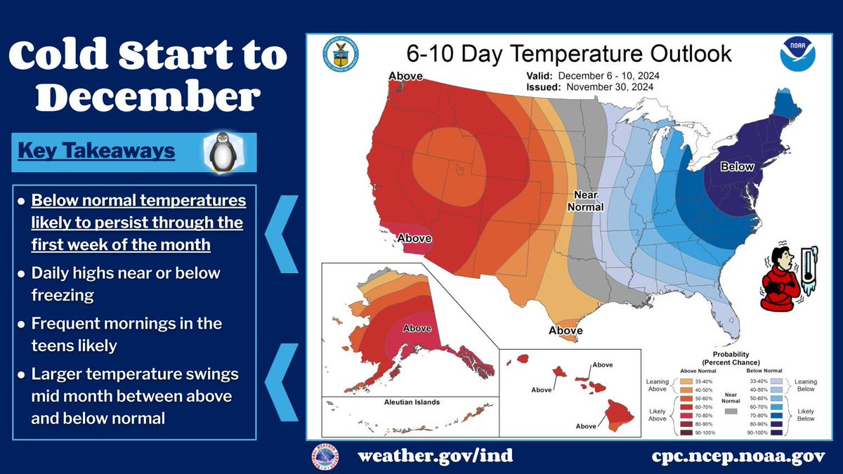
Winter is here in full force for the first week of December! The current weather pattern will persist over the next week favoring below normal temperatures. Highs will struggle to reach freezing the next few days with morning lows in the teens. Bundle up! #inwx
A warm and breezy weather pattern will continue for the next couple of days before a slight cool down Friday. Rain is expected on Halloween, but will end during the afternoon with dry conditions expected during the evening. #INwx
10AM EDT #Milton Position Update: Ensure you are in your safe location before the onset of strong winds or possible flooding. Stay up to date at https://t.co/tW4KeGe9uJ
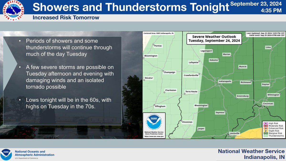
Look for periods of showers and some thunderstorms across central #inwx through Tuesday. A few severe storms are possible on Tuesday, mainly during the afternoon and evening hours.