This short video explains why using GeoRiver® makes life easier for hydraulic engineers when it comes to river model preparation. #river#data#automation#hydraulic#modelling
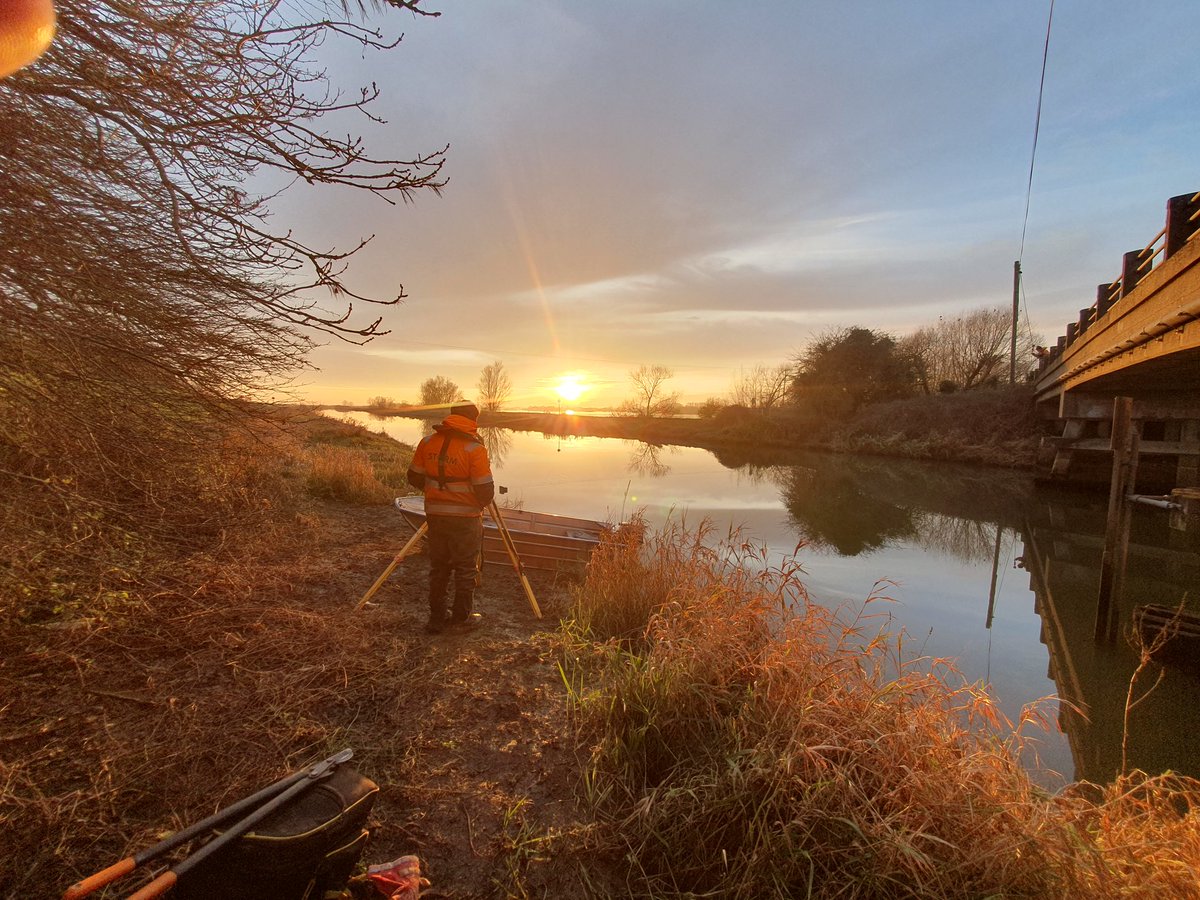
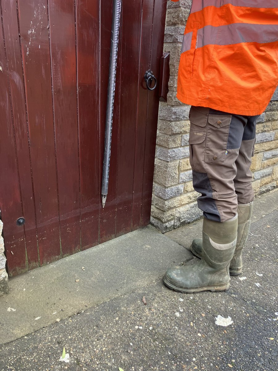
Out on site today, making up a team of two, to record peak flood level evidence for the @EnvAgency across Leicestershire.
This information supports improved flood modelling and management.
#surveyandmapping
Multiple survey techniques on this job of a 60m culvert. Handheld SLAM laser scanner mounted to our USV, Terrestrial laser scan and Single Beam Echo Sounder of the river bed. #stormgeomatics#scanning#culvert
Manual errors can slow down delivery of projects and cause the profit to ebb away. One of the many new features of v1.5.7 is to automate tunnel lengths.
Full video: https://t.co/pVlLxVuYPY
The combination of ecology and geospatial survey promotes a successful project life cycle for #Biodiversity.
Join our webinar this Thursday to discover how your planning applications can include Biodiversity Net Gain requirements.
Register https://t.co/thZEKihucG
#bng#webinar
@WShanks_SG demonstrating how our experience around Rivers means we can safely navigate them.
Another surveyor is poised on the right bank to react if Will was to get into any bother. We also have a Tridrone from @seafloorsystems to hand if the channel was too deep to wade.
GeoRiver® – “From Survey to Solutions” - This webinar discusses three objectives of GeoRiver®: automation, streamlined data transfer, and enhancement of data.
Please use link in the comments to register. 😊
Is the watercourse in your project too fast and deep to wade? Storm Geomatics use specialist equipment to help capture your data. Here we are utilising a survey vessel and a Tridrone to survey on the River Test. For more info and to get a quote visit https://t.co/2KQ3XXPaBX