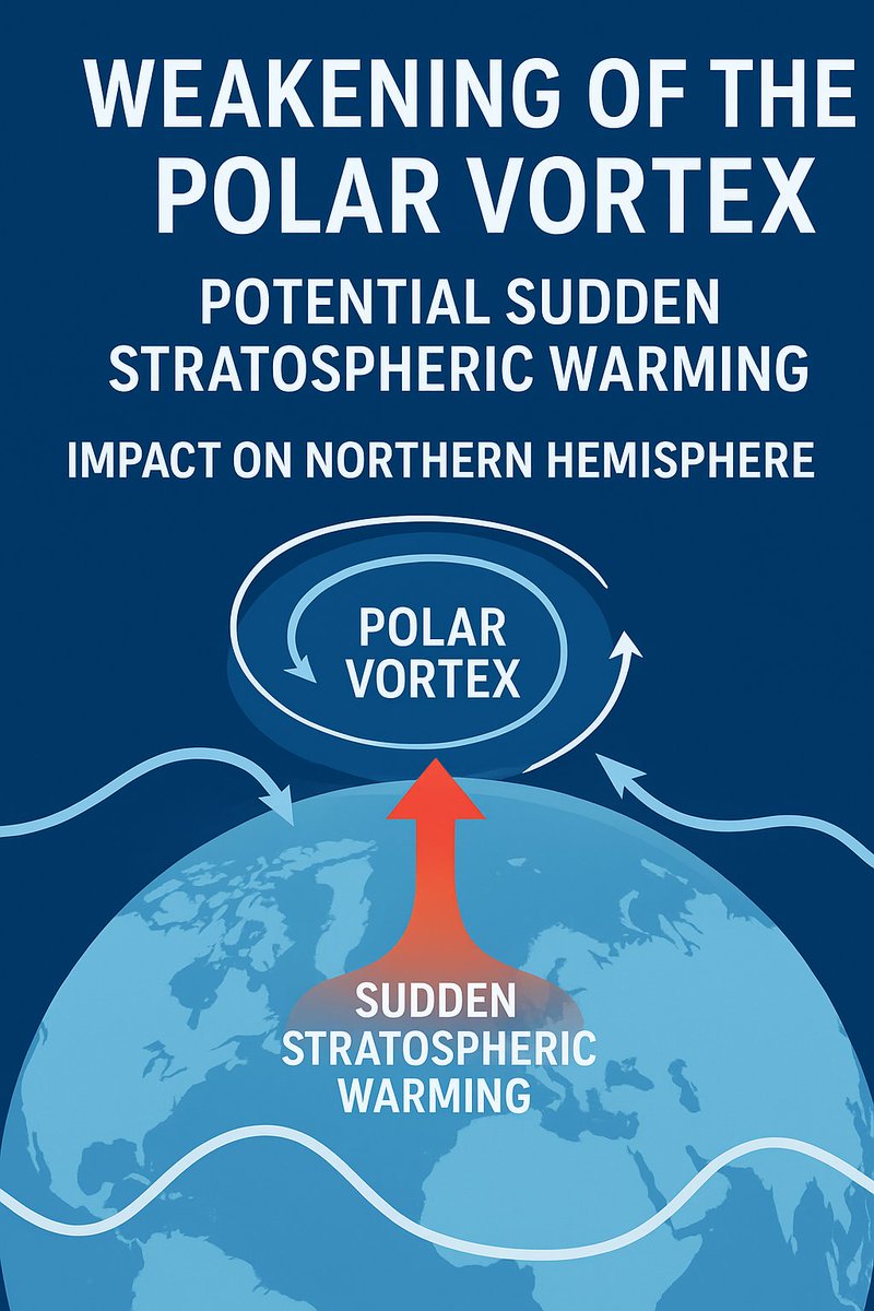
The polar vortex is weakening — and a Sudden Stratospheric Warming may follow. This could reshape winter weather across the Northern Hemisphere. #StormHour#ThePhotoHour
Read more at ~ https://t.co/Uso7HNxa6v
After emerging as a nor'easter earlier this week, the powerful low along the East Coast evolved into Subtropical Storm Josephine.
Josephine is tracking to the northeast, where it will remain offshore while causing some increased wind gusts and swells along the coastlines.
I can't begin to explain how naturally beautiful the Fantasy and Crystal caves are. Thought to be over one million years old and absolutely magical! 💙🇧🇲
#StormHour#Bermuda#ThursdayVibes
Subtropical Storm Josephine is anticipated to bring widespread winds and rainy conditions, particularly for parts of Nova Scotia and Newfoundland.
https://t.co/kRHiewEpH7
A good wave day out at Nubble thanks to newly-named subtropical storm Josephine churning away out in the Atlantic. Waves are about the only impact we'll see from it as it drifts away from the coastline
.
October 22, 2026 · 6:44 am · 48F
York, Maine
STORM AUSTEN -ADVISORY 4
Winds: 45 mph
MSLP: 1007 mb
Current Coordinates: 47.3°N, 39.0°W
Next Update: 5:00 PM
Storm Austen is the first named storm of the season, according to Met Office.
CURRENT SITUATION
Austen is tracking east-northeastward across the North Atlantic toward the British Isles and Western Europe. The system is currently producing maximum wind gusts of 45 mph, with a central pressure of 1007 mb.
FORECAST TRACK
The projected path shows Austen advancing from the open Atlantic toward the United Kingdom before continuing toward northern France, Belgium, the Netherlands, and western Germany. The system's intensity and precise trajectory may change as it approaches Europe.
WIND WARNING AREAS
YELLOW WIND WARNING: The graphic highlights a yellow warning area across the western portion of the projected track, indicating the potential for strong winds.
AMBER WIND WARNING: An amber warning area is highlighted across northern France and nearby areas, where more disruptive wind conditions may develop as Austen approaches.
INTENSITY OUTLOOK
Austen is expected to reach a Category 1 Cyclone on Thursday. Further strengthening is possible, although the system's future intensity will depend on evolving atmospheric conditions with developing hurricane-force windstorm.
AREAS TO MONITOR
The forecast highlights the potential for wind impacts across the United Kingdom, northern France, Belgium, the Netherlands, and western Germany. Residents, motorists, and travellers should follow official weather forecasts and warning updates.
NEXT ADVISORY
Further updates will provide revised information on Austen's forecast track, wind speeds, pressure, and potential impacts across Western Europe.
This bulletin describes the supplied cyclone-tracking graphic. The forecast and warning areas have been independently verified against official meteorological information. #StormAusten #weatheralert #WeatherAware #windstorm