10:09pm - This is a good example of what we look for on the velocity display when we're looking for quick spin-ups. These types of tornadoes typically don't last long, which makes them excessively hard to track. That's why the warning is as big as it is.
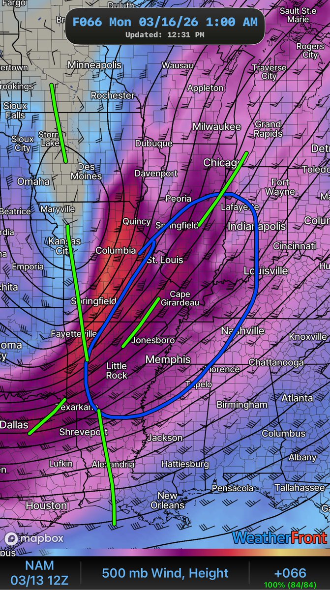
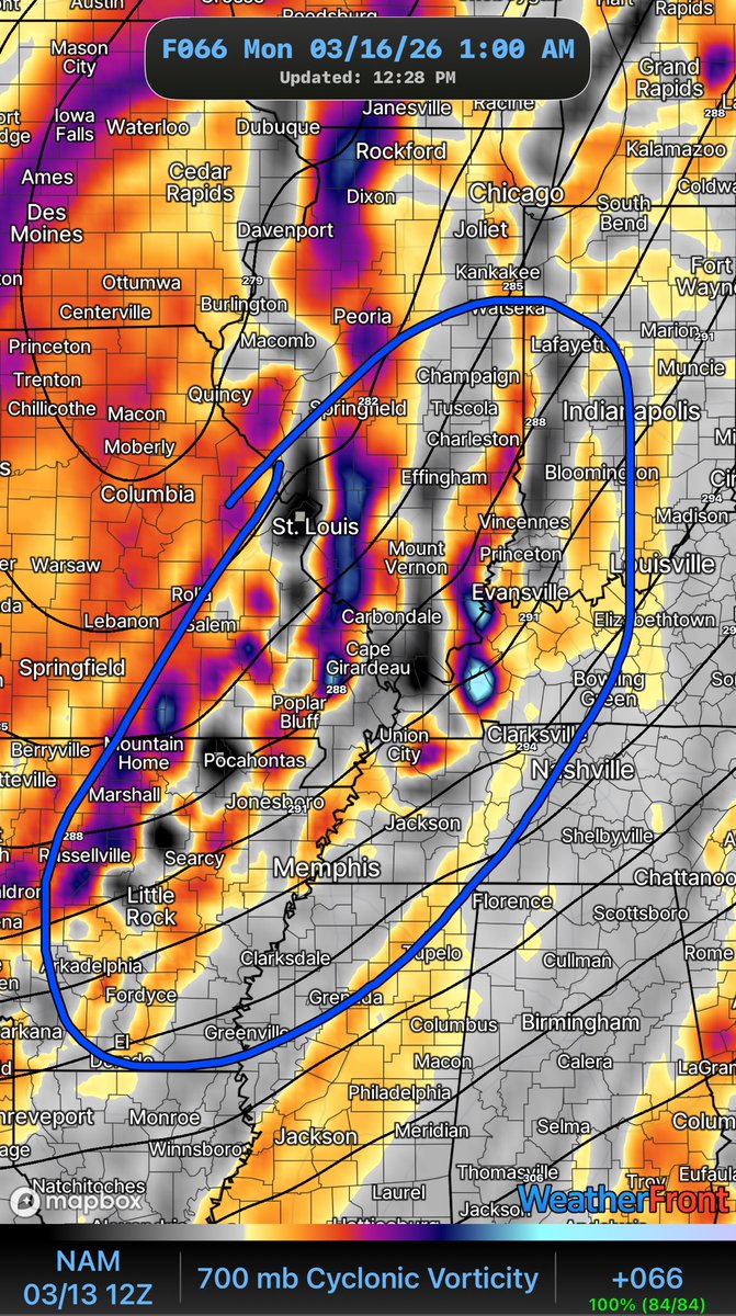
For what it’s worth, I was *about* to post this ~ 2hrs ago but got carried away at work… but look how the Negative Tilt begins to buckle the Wind Field by 10pmSunday.
Several embedded shortwaves are in the flow. All hazards are at play with Supercells possible just ahead
Latest NWS Louisville forecast has the probabilities for 8 and 12 inches of snow this weekend...
Not often do you see headlines like this 3 days in advance.... #KYwx
Latest Hazardous Weather Outlook from the WPC overlaps Hazardous Cold & Heavy Snow right over top of WABBLES heading thru the weekend.
“Carhartts are [staying] on!”
Before Mount Vernon and the revolution, a young soldier fights for a place in history.
Young Washington storms into theaters July 3, 2026, just in time for America’s 250th anniversary.
@washingtonmovie@watchonwonder@JonErwin13
🎟️: https://t.co/9H9LnIGeHl
Last night, the 53rd Weather Reconnaissance Squadron flew into the eye of Hurricane Erin—and captured imagery of the breathtaking stadium effect.
These missions provide critical data to the NHC to improve forecasts, helping keep communities safe before the storm makes landfall.#readynow #weatherready








![wxornotBG's tweet photo. Latest Hazardous Weather Outlook from the WPC overlaps Hazardous Cold & Heavy Snow right over top of WABBLES heading thru the weekend.
“Carhartts are [staying] on!” https://t.co/KoxYegSnO6](https://pbs.twimg.com/media/G_DNn60WsAAy4dV.jpg)


