StormTracker 59 is part of the @WVNS59News team working for you to bring you the latest weather information of Beckley, WV and surrounding areas of WV and VA.
SUMMER WEATHER: Thursday is going to sunny and toasty! We will see high temperatures jumping up into the low 80s with hardly a cloud in the sky!
https://t.co/luwlRUMDRU
SEVERE THUNDERSTORM WARNING until 5:30 PM for south-central Wyoming and eastern McDowell County, including Welch, Pineville and Gary. This storm is producing a lot of lightning and has the potential to produce nickel-sized hail as it scoots south.
https://t.co/luwlRUMDRU
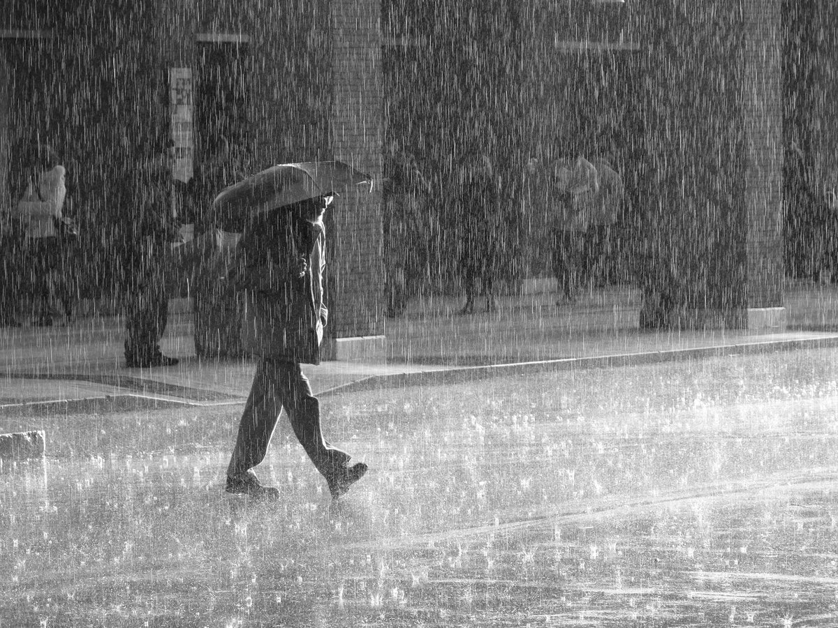
SMALL HAIL WITH STORMS: Thunderstorms this afternoon are not severe, but they are producing very heavy rainfall and small hail in the stronger storms as they move from north to south. The farther east you are, the more unsettled it will be this afternoon.
https://t.co/luwlRUMDRU
10 DAY: A few storms are returning for Tuesday afternoon but beyond Tuesday we will be much drier and warmer ahead. Downright summertime by Thursday!
https://t.co/luwlRUMDRU
WV STORMS COULD PRODUCE HAIL TUESDAY: Thunderstorms Tuesday afternoon in WV have the potential to produce hail with the setup in place. Here's the timing:
DETAILS: https://t.co/EY971OdkLQ
EVENING SPRINKLES: Clouds have increased in our northern counties, and we're squeezing a couple of sprinkles out of the clouds this evening in our northern counties. It's not amounting to much, but is making for a gloomy evening for some!
https://t.co/luwlRUMDRU
10 DAY: Overall, this is a great stretch of weather ahead if you like warm afternoon and cool evenings. We do need more rain, though.
https://t.co/luwlRUMDRU
BEAUTIFUL! Clouds are slowly building but they won't produce any rainfall in our region tonight or Saturday. Enjoy a very comfy evening throughout the region!
https://t.co/luwlRUMDRU
HOW MUCH RAIN? How much rain fell across West Virginia this past week? And which towns saw the most rain? This story answers that - and it was a LOT of rain!
https://t.co/F42nrMBFiO
10 DAY: It's a wet stretch ahead that continues. At least Sunday and Memorial Day won't be washouts, but Saturday, Tuesday and Wednesday DO look quite wet.
https://t.co/luwlRUMDRU
RAIN RETURNS: It's another rainy night in store across the region! The rain is not going to be heavy, but it'll be steady off and on throughout the night. Patchy dense fog will also continue as well - be careful if you plan to travel tonight or tomorrow!
https://t.co/luwlRUMDRU
DENSE FOG: Be careful folks - it's scattered but that fog is THICK! Visibility in some areas has dropped to less than a quarter of a mile.
https://t.co/luwlRUMDRU
10 DAY: Scattered showers and storms are to be expected at times over the next couple of days, with more scattered activity Sunday into Memorial Day itself.
https://t.co/luwlRUMDRU
EXTREME DROUGHT: Much of southern West Virginia is now in extreme drought with this week's update - however, continued rain chances ahead should IMPROVE drought conditions. Have you had drought issues in your area?
DETAILS: https://t.co/tOCJqA4KEQ
RADAR CHECK: It's a soggy afternoon in store across much of the region this afternoon and we also have stout thunderstorms pushing into the Greenbrier Valley from Virginia. Expect a wet evening commute for many.
INTERACTIVE RADAR: https://t.co/7ybV2LvTEW
⚠️ SEVERE THUNDERSTORM WARNING ⚠️ for northwestern Raleigh County until 6:45 PM. Damaging wind gusts and small hail are expected in the Dry Creek and Montcoal areas of the county.
FORECAST: https://t.co/P66Y8sjpIC
STORMS: Storms forming in Pocahontas County are nearly stationary, producing torrential rainfall - these storms will eventually 'rain themselves out', but localized areas of 1 inch or more of rain in the next hour is possible in the county.
FORECAST: https://t.co/P66Y8sjpIC