The latest article from Lewis Graham sharing the results of head to head testing with the True View 410 and 620 models for the California Department of Transportation.
https://t.co/O3ZV8RKdlJ
The CMS V500 provides safe production reporting and underground stope surveying. Get accurate 3D models, still image and videos in real time and remote operation so you can work from a safe distance. Learn more about this amazing product on our site here: https://t.co/y8H52pEhl3
Visit our booth and ask about our mapping and survey services and the new True View 410 LiDAR for UAV's.
Our booth location ➡️ #81 in the Northern Ontario Mining Showcase, North Building Pavilion #6501N#PDAC2020
Visit our booth and learn all about our mapping and survey services and the new True View 410 LiDAR for UAV's.
Our booth Location: #81 in the Northern Ontario Mining Showcase, North Building Pavilion #6501N
#PDAC2020 is the leading convention for people, companies and organizations connected to mineral exploration and mining. Check out this video to learn why YOU should attend this year.
#Mining#MineralExploration#Canada
Sumac Geomatics has recently entered into a distribution partnership with the GeoCue Group to help distribute their True View integrated lidar/imaging sensors for UAV/drone operations. One more step forward!😁
https://t.co/zTblzHcahf
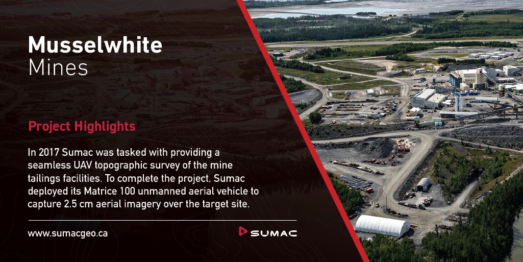
Goldcorp’s Musselwhite mine is a fly-in mining operation located 500km northwest of Thunder Bay Ontario. 👷
In 2017 Sumac was tasked with providing a seamless UAV topographic survey of the mine tailings facilities.
View this project highlight at ➡️ https://t.co/1hZiQ3OqHO
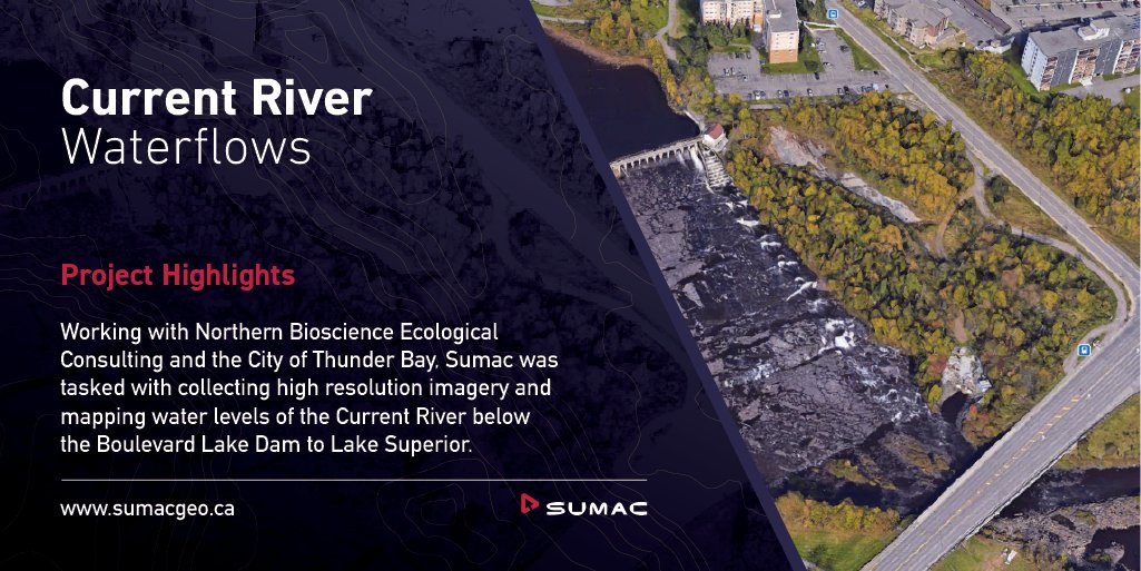
Sumac is proud to be involved in various local projects that have helped improve the infrastructure and knowledge of our city.
To view our full list of project highlights visit ➡️ https://t.co/4RKDbOimcn
#projecthighlights#sumac#geomatics#uav#drones#thunderbay
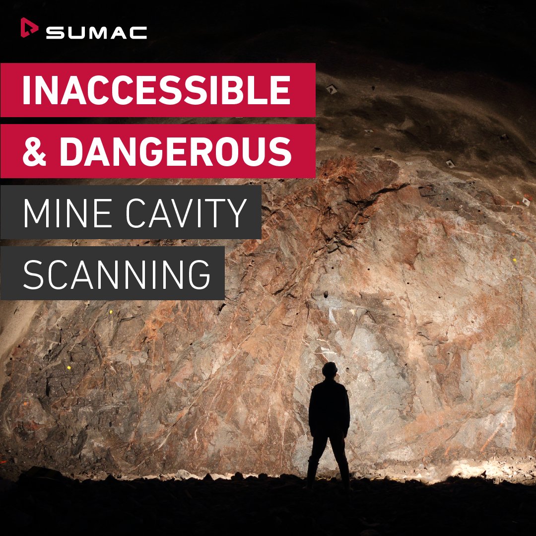
Sumac is proud to be the only Canadian dealer of the Optech CMS V500 for underground surveying. 📷
Read more about the Optech CMS V500 here ➡️ https://t.co/yLAPpdQIb5
#optech#geomatics#thunderbay#sumac#surveying
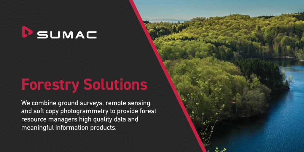
Sumac Geomatics is dedicated to providing sustainable forest management solutions. 🌳🌲
Our team of skilled professionals deliver comprehensive information solutions on-time, within budget, and to your specifications.
Visit our website: https://t.co/s6zVVDUsMy
#sustainability
Drones are beginning to become more and more lightweight, more powerful, and flexible for all sorts of applications.
Check out these five amazing new drones that hit the market in 2019.
https://t.co/5ht4wWxcc0
#drones#geomatics#uav#sumac#surveying
https://t.co/CcNA4uVOJw - #Geography is much more than just Creating Maps, see Why Location Matters, thanks in part to @Sheilagholeary @USACEHQ@USGIF#gis#geospatial
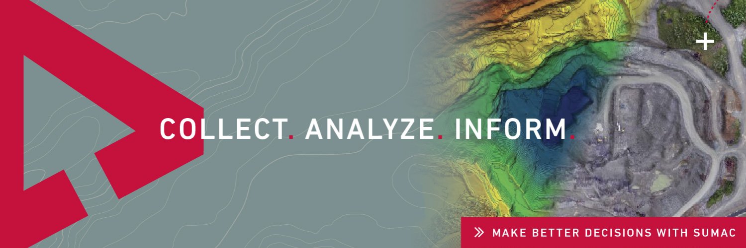
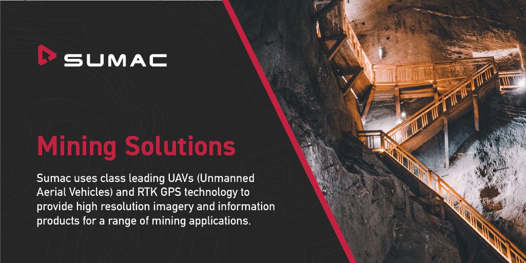
We bring our extensive experience with data integration to mining and geology. 🏔️
Learn more about our Mining Solutions Services here: https://t.co/3nxyiE0Bfn
#geomatics#mining#uav#solutions#sumac#drones
We are often asked about the types of survey tools and services that should be used in underground mining.
Check out our most recent blog that covers the pro's and con's between common surveying tools.
https://t.co/nMLU1WQWoL
#mining#geomatics#sumac#miningindustry