Survey First in the community! This is our President Tim Higbie helping do spring cleanup with the Town of Danville. Survey First is proud to be a part of the Danville community and enjoys helping when we can! #SurveyFirst#CommunityService
March Madness resumes today! In honor of the remaining 16 teams we look back when Survey First had the opportunity to 3D Scan Marion University's Basketball Arena. #MarchMadness#SurveyFirst#3Dscanning
The use of targets when going down hallways is a highly effective method that Survey First uses to help register in scans. It allows the separate scans to be brought together more accurately when there is not much going on in the area! #3Dscanning#Architecture#CivilEngineering
When speaking with architects about 3D scanning, there is always one common question. That question is, "Are you capable of combining multiple floors with stairs?" The answer to that question is YES! We are able to tackle any building! #SurveyFirst#3Dscanning
When working on renovations and adding onto existing buildings, Survey First has exactly what you need. Our 3D scanning abilities can capture every dimension of your building, inside and out! This is a great tool, especially for architects who spend a lot of time hand measuring!
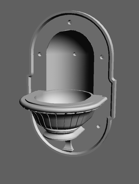
Do you have something you want to recreate but don't have the original blueprints? No problem! Survey First 3D scanning can solve that problem for you. These pictures show an old marble fountain that was recreated using our 3D scanning services! #SurveyFirst#3Dscanning
Survey First had the privilege of scanning the Hendricks County Court House Rotunda! In the first picture below, you can see the rotunda from a camera and in the second picture you can see the rotunda from our 3D scan!
These pictures below show how Survey First Scanning can help your construction site! With the use of our scanning technology, we were able to pinpoint the center of the columns from the bolts in the scan. #3Dscanning#SurveyFirst#ConstructionStaking#LandSurveying
Yesterday our field crew was battling the snow and wind up in northern Indiana! Our guys worked hard to get the necessary information we needed in order to finish up this job! Be sure to contact Survey First for all of your land surveying needs! #LandSurveying#SurveyFirst
Our field crew took things back to the 1800s today at Conner Prairie! With the help of our 3D Scanner, we were able to pick up buildings, trees and much more. Be sure to reach out to Survey First for all of your 3D Scanning needs! #LandSurveying#3Dscanning#ConnerPrairie
Yesterday, our field crews were able to enjoy some great weather! This crew used our Leica P40 scanner to pick up some data for a land survey. The data they brought in got us millions of points on buildings, ground elevations, and much more! #SurveyFirst#3Dscanning#LandSurvey
This week, Survey First had a scan crew at Garden City Elementary! Thanks to our scan crew, we were able to capture the site in just a couple of hours! Reach out to Survey First to see how we can help you make your workflow more efficient, less expensive, and more accurate!
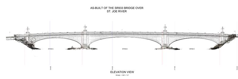
Why spend all your time hand measuring bridges when you can have Survey First 3D scan it for you? These pictures show what Survey First scanning can do for you. Our process is accurate, quick and safe! Contact Survey First for all your 3D scanning needs!
3D scanning is more than pretty pictures at Survey First. The information gathered from this scan was able to help supply our client with the amount of materials they needed in order to finish the job! Be sure to reach out to Survey First for all your 3D scanning needs!
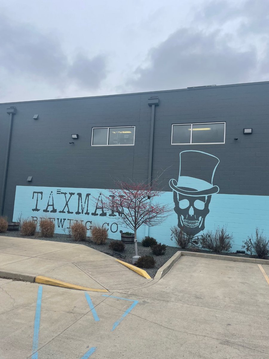
Picture of the Day! These represent a real life picture taken by our field crew and a screenshot from our 3D Scanner! Our scanners are a great way to get quick, accurate, and large amounts of data! Also, thank you @taxmanbrewing for the delicious gift! #3Dscanner
Picture of the Day! 3D Scanning continues to be a huge part of who Survey First is! This is a screenshot from inside one of our scans from our scan crew. With this information we are able to get elevation shots, map out existing structures, buildings, trees, etc. #3Dscanning
Picture of the Day! This is just a small portion of what our office staff does on a daily basis! This image is a layout for our construction staking field crew. While utilizing GPS units and this layout, our field crews can ensure accuracy and get a visualization!
Picture of the Day! This picture is a screenshot from our 3D Scan of a softball field! From the information in our scan, we are able to create topographic surveys for our clients quickly, efficiently, and with high accuracy! #3DScanning#SurveyFirst#LandSurveying