Heads up! SpaceX launches the Falcon 9 at 5:59 a.m. Thursday. If the launch is on time, Florida and the Southeast have a chance to see a bright jellyfish cloud.
Midatlantic to Northeast will be able to view this launch 10-15 minutes after launch time, weather permitting.
⛈️Storm Damage: Tuesday Thunderstorm damage in Boston. A true summer day we saw yesterday, with the heat and humidity adding fuel to sustain a line of severe storms that moved from Central Mass to Boston between 5 and 8 pm. #Severeweather#damage#Thunderstorms
Dust Devil in Warwick Rhode Island earlier this week. It looks like a tornado doesn’t it? Warm surface air rises quickly with variable wind speed/direction in the vertical. This happens more out west but a rare sight for the east coast.
Death Valley National Park is experiencing its first major superbloom in a decade as of March/April 2026, driven by record winter rainfall (1.7 – 2.5+ inches) that transformed the desert landscape with vibrant carpets of yellow, pink, and purple flowers.
https://t.co/YgaHskYSlM
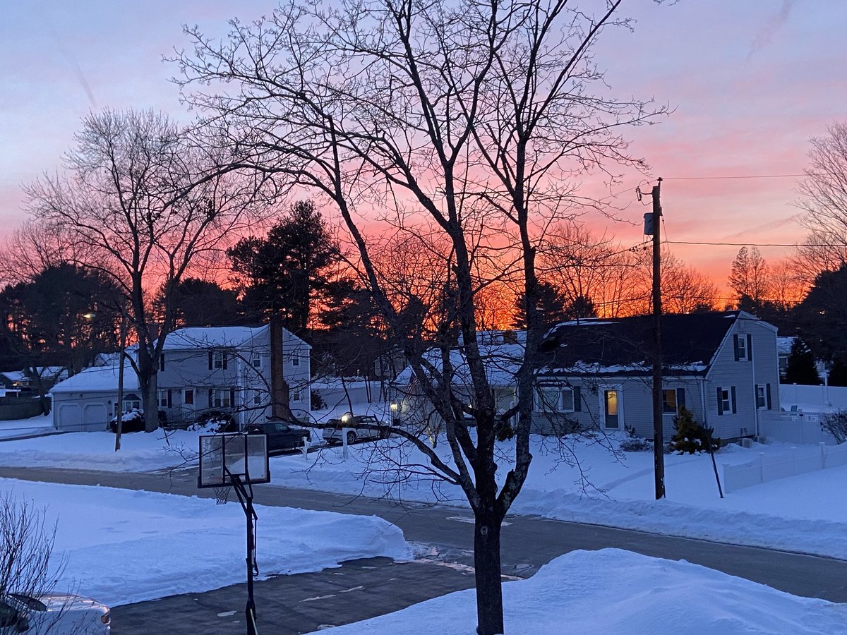
New England... I know we're tough, but this is dangerously cold. The white snowbanks reflect any sun warmth instead of absorbing it, making it harder to break free from the deep cold. So prepare accordingly.
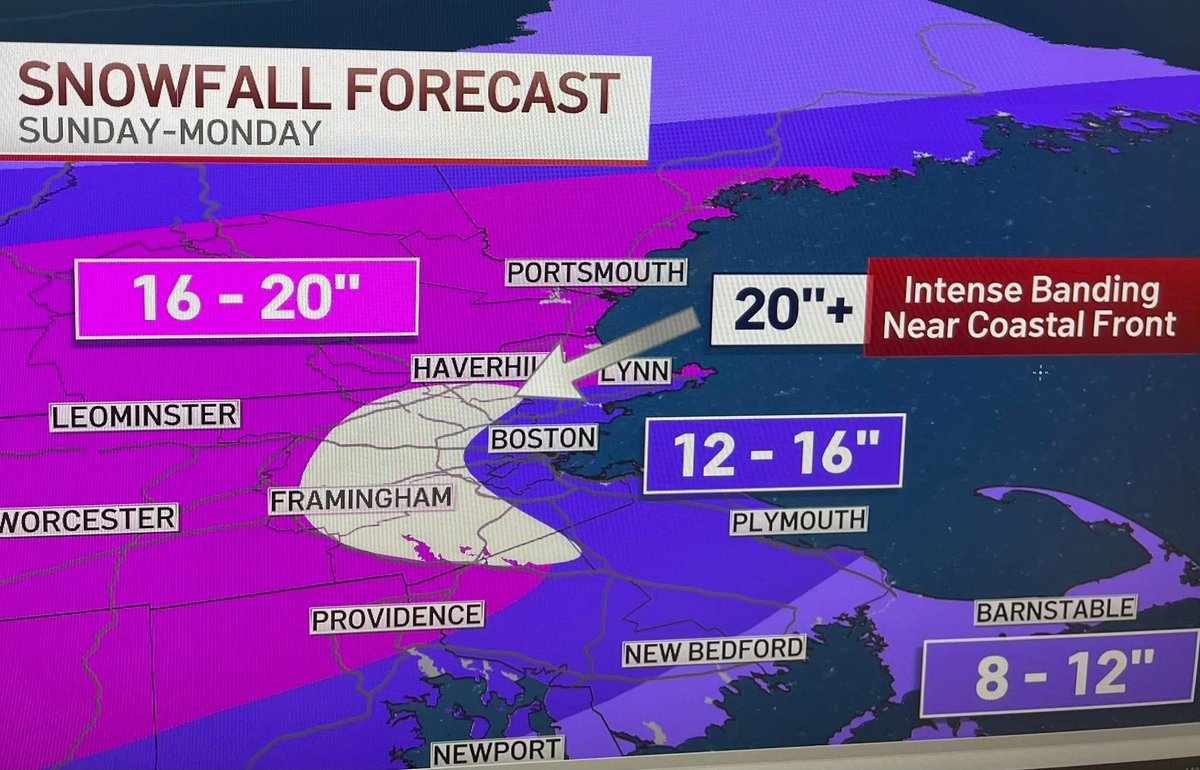
A coastal front setting up Sunday to Monday will bring intense snowfall rates & reinforce cold temps leading to light fluffy snow 20-25:1… highest accumulation just west of coastal front. Stay put especially late Sunday and early Monday.
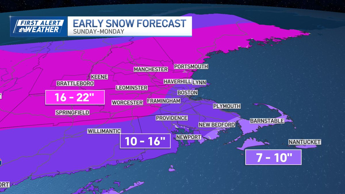
A general look at snow totals for New England from Sunday to Monday. Snow will come down light and fluffy, especially at elevation. The Cape has the potential for more mixing by early Monday. @NBC10Boston
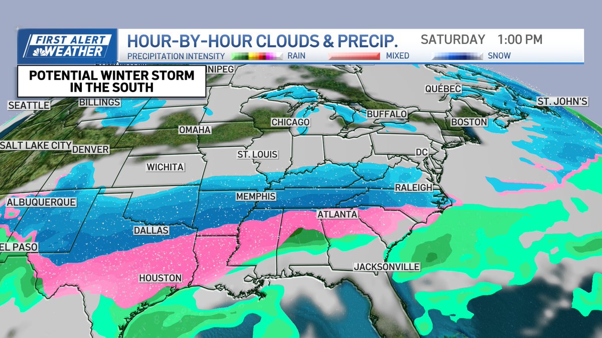
Winter storm chances are increasing over the south and mid-Atlantic. South of the blue snow, that line of pink is ice. If this forecast continues on this track, it will be very disruptive in spots that don't have the infrastructure to clear widespread winter weather.
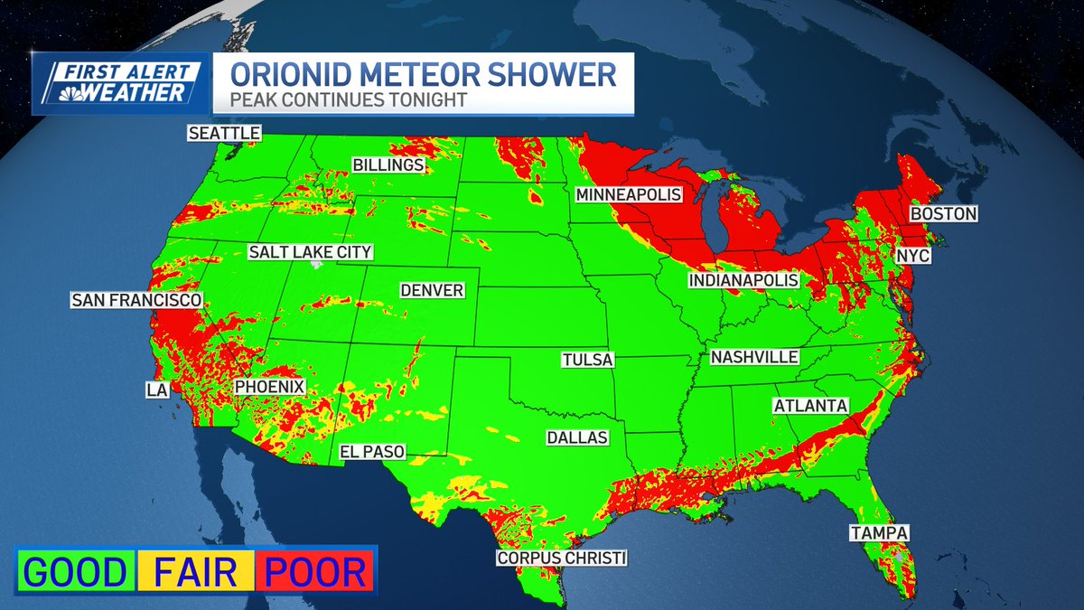
GOOD SKY COVERAGE: Orionid Meteor Shower continues to peak. The best viewing is before dawn tomorrow morning. The meteors are fast, bright, and can leave glowing trails that linger.
To view, find a dark spot away from city lights, let your eyes adjust for 30 mins, and look up.
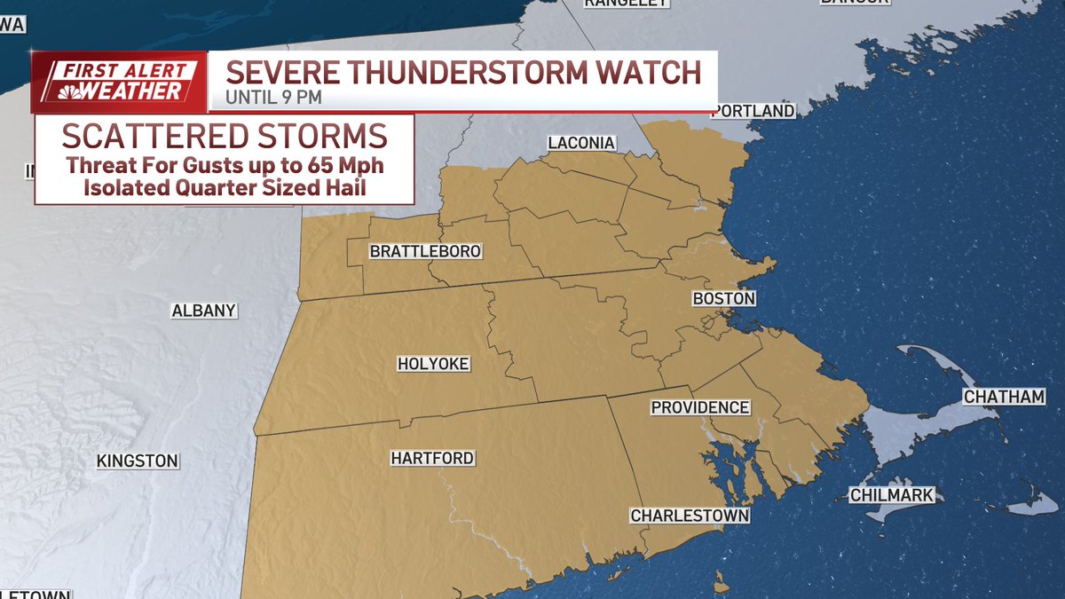
Favorable conditions for strong storms across Southern New England until 9 pm. Damaging thunderstorm wind gusts are the primary concern, but quarter sized hail is possible.
It's been almost 3 years since Boston's pushed 100 degrees, highs Tuesday are forecast to reach 98.
We'll be rivaling the record highs Tuesday for 6/24 of 99 degrees set in 2013 at Logan.