Steady rain moves into Central Texas Sunday morning. Up to 2" of rain is expected, especially east of I-35. Low-end flood threat for our eastern counties.
Rounds of showers return this weekend, likely late Saturday through Sunday. Rain chances are up to 80% on Sunday, with higher rain totals east of I-35. Something to watch!
Another cold front on the way for late Thursday. Here's a look at the timeline before higher rain chances return this weekend.
-Chief Meteorologist Nick Bannin
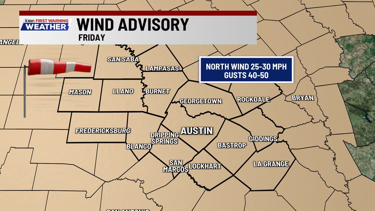
Tropical remnant moisture from TS Vance will spill into Texas this week, increasing rain chances for several days! There's a localized flash flood risk in parts of the Hill Country on Thursday and Friday!
TEMP TIMING: Cold front moves through Central Texas tonight, with a much cooler weekend ahead. High in the 60s & 70s through the weekend with lows in the 40s & 50s!
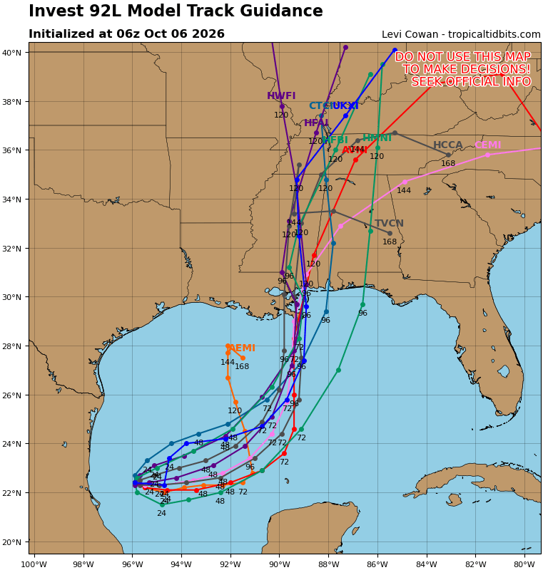
BREAKING: Tropical Storm Isaias forms in the Gulf, forecast to become a hurricane by tomorrow (THU) & make landfall along the northern Gulf Coast late Friday/early weekend. No direct impacts to Central Texas expected.
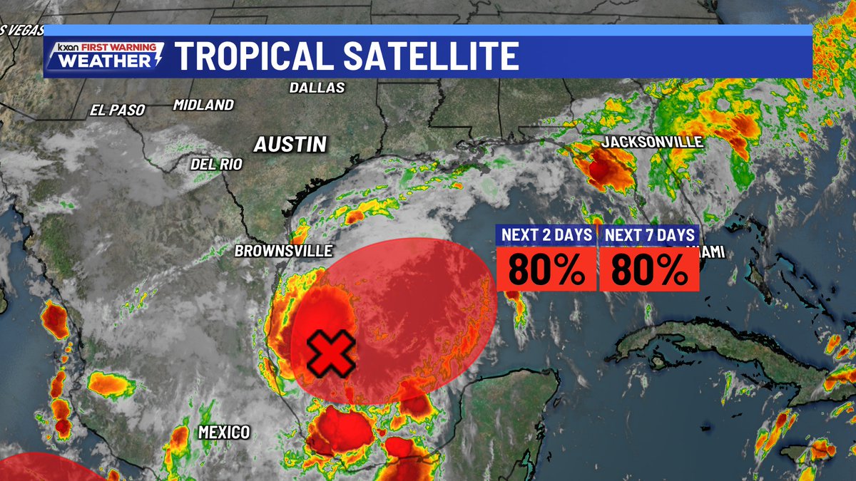
INVEST 92L likely to strengthen into our next named storm (Isaias)... and according to most models, stay east of Texas. This more easterly track would take the heavy rain with it, leaving us mainly dry in Central TX.