I can’t believe y’all letting the super side chick convince y’all of seeing Destiny & Martell interact for yeeeeaaaars that something is going on between them. Y’all don’t miss anything and y’all telling me y’all missed that?? Puhlease! #LAMH
And I usually don’t indulge in the contrived storylines trope but baby, if this ain’t the epitome of that…especially with some of the other cast members questioning it and not outright saying they don’t believe. A mess. #LAMH
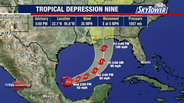
#Isaias is strengthening and should be a hurricane by Thursday morning.
The forecast remains on track. Intensification is likely in the short term, but the storm should weaken as it approaches the northern Gulf coast on Friday due to an increase in vertical wind shear. It will still be an impactful storm with life threatening storm surge likely along portions of the northern Gulf coast. A Storm Surge Watch extends from the mouth of the Mississippi River to Yankeetown in Levy county. Tides will run 1-3 feet above normal along our west coast during new moon cycles as the storm passes well west of us. We will see a continuation of unsettled weather into the weekend with periods of heavy rain as winds turns to the south.
The long stretch of no hurricanes in the Atlantic is about to come to an end. Unfortunately, the streak will likely end with a landfalling hurricane in the United States.
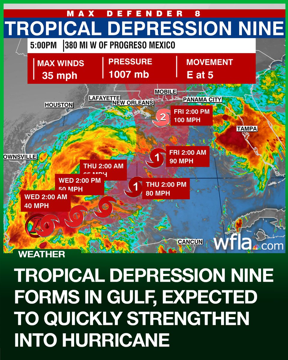
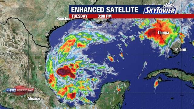
The area of showers and thunderstorms in the southwestern Gulf has become better organized and has developed a closed circulation so we now have the ninth tropical depression of the season.
The storm will drift to the east before being picked up by a developing trough over Texas and a building ridge east of Florida. The turn to the north means portions of the northern Gulf coast will see direct impacts from what should be Hurricane Isaias.
Conditions in the short term favor intensification, with some reliable models showing the storm becoming a major hurricane before landfall Friday night/early Saturday. Strong vertical wind shear could weaken the storm as it approaches the northern Gulf coast, but we are still looking at an impactful event. The only impacts to central Florida will be an increase in swells along our west coast along with more showers and thunderstorms.