There will be sessions dedicated to Historical-GIS, Spatial Humanities and others related to the application of GIScience to the Humanities. #HDRio2020
HDRio2020 convida a refletir, reavaliar e debater sobre as vantagens e desvantagens das “Encruzilhadas Contemporâneas” .
Submissões de 10/01/2020 a 10/02/2020
Acesse: https://t.co/KeiMmKrOCI
#HDRio2020#Larhud#HumanidadesDigitais
Remember that we have an open Call For Papers for the 2020 Spatial Humanities Conference untill February 28th.
Come explore the application of spatial methodologies to Humanities research in September in Lisbon! https://t.co/vaZZsWGhXq
@LancsDigHum@Lab_HDig#SpatialHumanities
#timespace2019 is wrapping up. It has been a valuable experience for me. Profound admiration and thanks to all the non-native-English speakers for the extra burden of using English. #HGIS has come a long way in breadth and depth and thrives in Europe!
The thing is we have lots of scholarship that historicizes origins of what we experience now as a “border” but GIS doesn’t incorporate any of this thinking 🤔
With all due respect to people who do this work, I worry about the effects of historical GIS projects drawing borders & how they reinforce the idea that pre-20th frontier areas were understood as line-like barriers by institutional powers or by normal people
One takeaway from #timespace2019: discovery of Atlas Digital da América Lusa & Tiago Gil gave me a beautiful print atlas containing some of its data. Many presentations concerned Brazilian history and data, potential contributors to #LatAm gaz effort, @gimenadelr
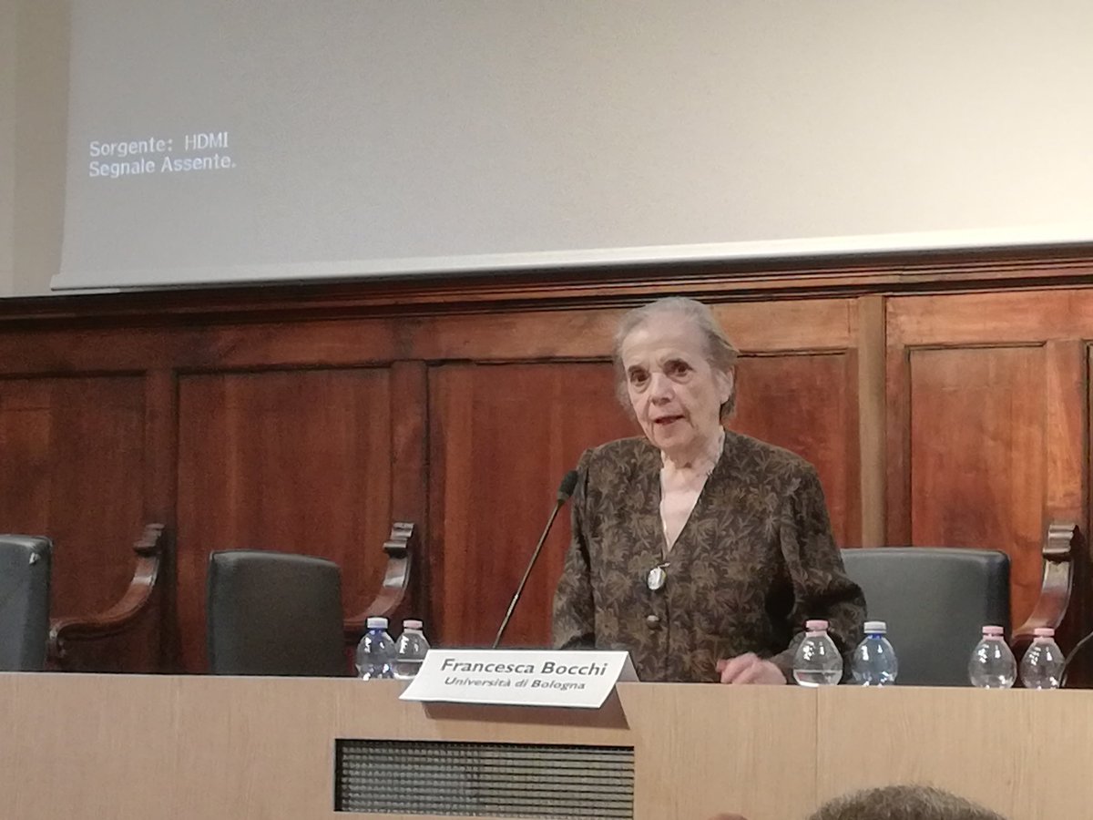
#timespace2019 These were three productive, rich and animated days in Pisa, discussing GIS and GIScience applied to historical research. Is time to say goodbye, to thank you all. We finish with a closing keynote from Francesca Bocchi, a pioneer of Humanities Computing in Italy!
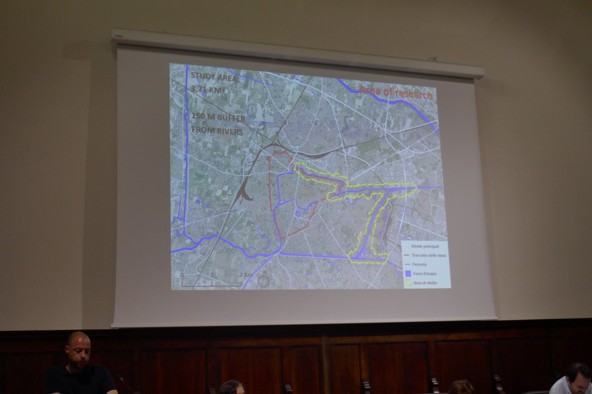
#timespace2019 The last presentation of our event is a good representation of a trend that we observed during these three days: the study of historical landscapes. Simonetta Menchelli presents "The Changing Landscapes in the Pisa South Picenum"
#timespace2019 "Land use and cover reconstruction via GIS techniques with heterogeneous sources of different periods" is the title of Diego Gallinelli's presentation. He studied Pontine Region from 1820 to 2018 using historical cartography but also open data for recent years