The longest road in the world to walk, is from Cape Town (S.A) to Magadan (Russia).It's 22,387km and it takes 4,492hr to https://t.co/E13Xg2oW8A would be 187 days walking nonstop, or 561 days walking 8 hours a day.
Along the route, you pass through 17 countries, six time zones.
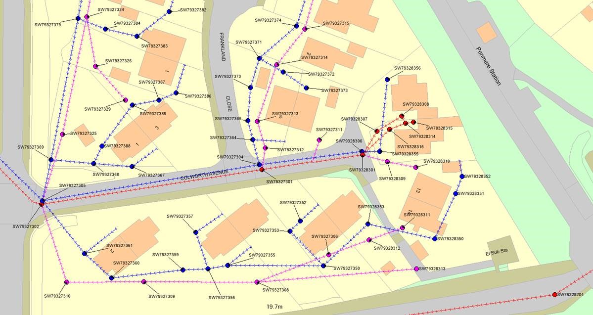
GIS maps help tell the story of an area in an interactive, visual way. Because GIS links data together it is easier to identify and communciate trends and needs - helping engineers understand the current environment and plan for the future.
https://t.co/YPIlWQLaQI
"There can be no greater gift than that of giving one's time and energy to helping others without expecting anything in return."
Nelson Mandela
In honor of our hero, #NelsonMandela, we will be spending our 67min on #MandelaDay helping the #COVID19 affected families in Alexandra.
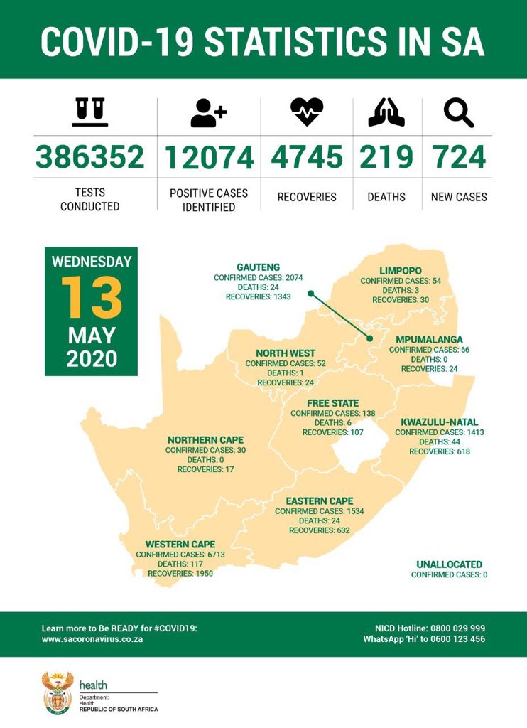
INFOGRAPHIC | Level 3 regulations in hotspots, which are areas with more than 5 infected people per 100 000 or where there is a rapid pace of new infections. https://t.co/ZNXj7gN8cK #sabcnews
For all your LiDAR / Powerline Surveys; Detail / Line Mapping; Orthophoto Production, we got you covered. Contact us via emai at [email protected] or visit us at https://t.co/iFalskoENV
. "Welcome to the Future of Geomatics.."
#LiDAR#Photogrammetry#Surveylife#GIS#Geomatics
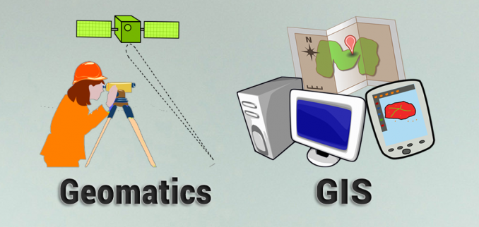
#Geomatics and #GIS are often mistaken to mean the same thing as they share some resemblance but are actually two significantly distinct disciplines. It is therefore insightful to explore what is the difference between them. Know the difference!https://t.co/wwGBP4CnEr