Sandbags are available at both locations:
✔️Roseland Public Works
63101 Commercial St
Roseland Louisiana 70401
- and -
✔️Pleasant Ridge Public Works
44512 W Pleasant Ridge Rd
Hammond Louisiana 70401
Have you signed up for alerts yet? The emergency notification program, #TangiAlert, provides residents with alerts about any hazardous event. Messages will be sent to to your preferred contact path. Sign up at: https://t.co/2KI3tgcAwH
Sign up to receive emergency alerts! #TangiAlert is an emergency notification program that will provide residents with alerts about any hazardous event. Messages will be sent to to your preferred contact path. Sign up at: https://t.co/2KI3tgcAwH
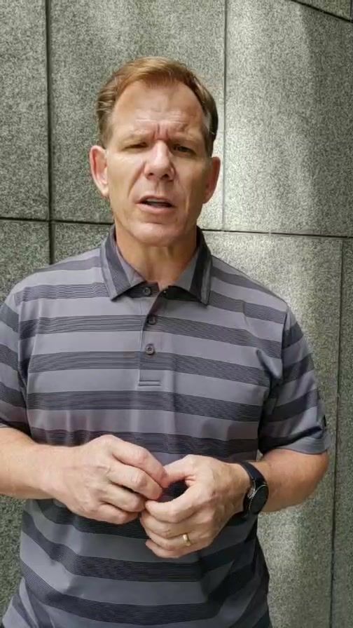
Update on Tropical Storm Gordon from Parish President Robby Miller. Please take a moment to listen in on this update following a conference call with the National Weather service. https://t.co/PZ4t9C3plI
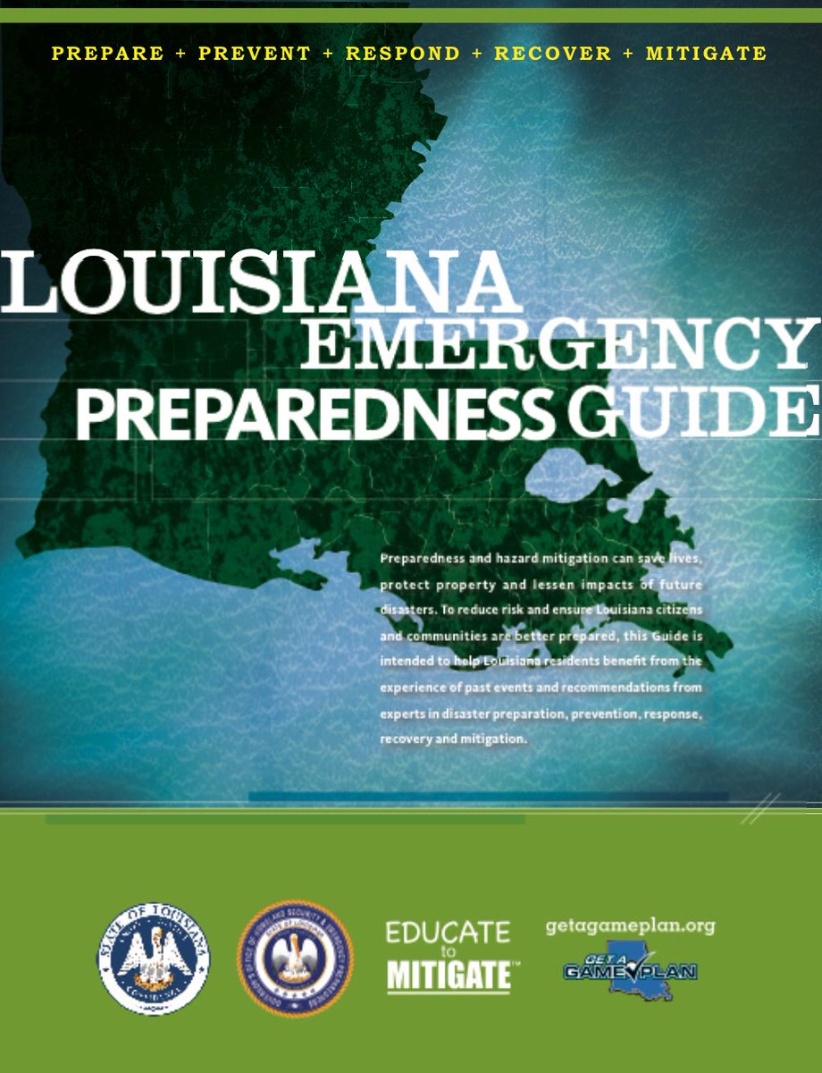
Does your family have a plan? Are you prepared? This informative guide has an incredible amount of helpful tips, resources, a checklist and more!
Get it at: https://t.co/yse4yTMEgO
#GetAGamePlan https://t.co/l9FHLNa5uq
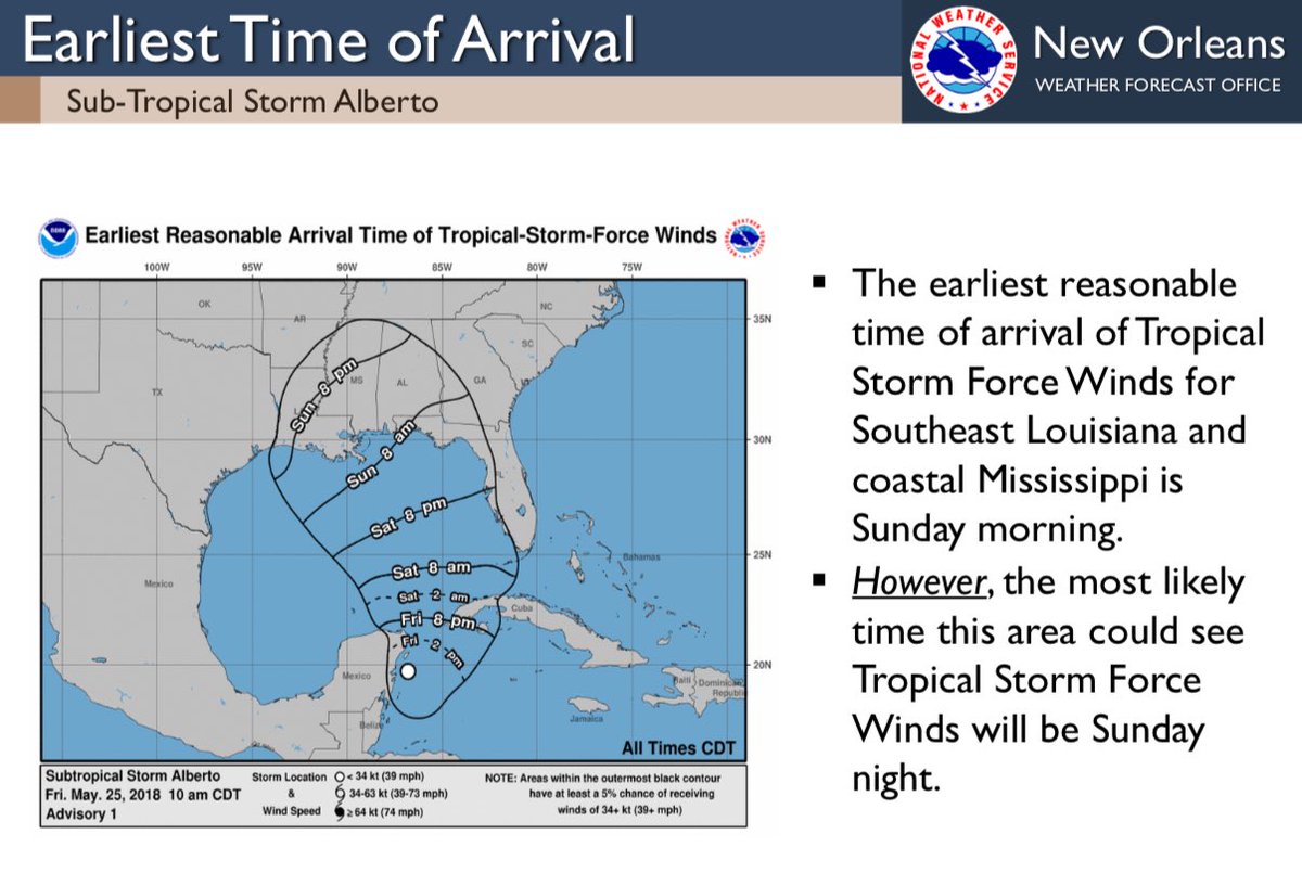
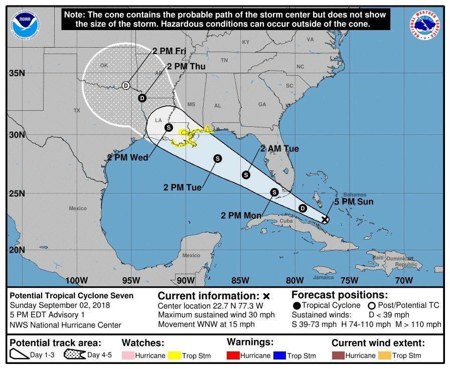
A Tropical Storm Warning is in effect for southeastern Louisiana, coastal Mississippi and surrounding marine areas. This means tropical storm conditions are EXPECTED within the next 36 hours or less. #lawx#mswx
{Sandbag Distribution}
Please note: sandbags will be available from 8am to 5pm tomorrow, Monday, September 3rd at:
Pleasant Ridge Public Works
44512 Pleasant Ridge Rd
Hammond, La 70401
Parish President Robby Miller encourages everyone to pay attention to the weather forecasts from your local media. Don’t be a victim! Get prepared and stay prepared! #GetAGamePlan
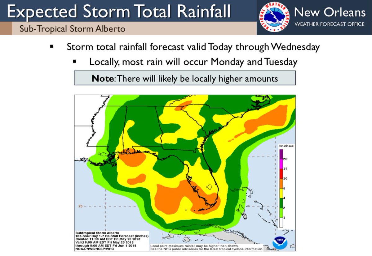
Please find this 2:00 pm update (Saturday, 5/26/18) from the US National Weather Service New Orleans Louisiana for INVEST90L. As always, we will continue to monitor.
#getagameplan#teamtangipahoa#preparedness
Please find this 2:00 pm update from the U.S. National Weather Service (NWS) for INVEST90L. As Memorial Day approaches, Tangipahoa Parish Emergency Management will continue to monitor.
#getagameplan#teamtangipahoa#preparedness
We have now upgraded to a HIGH risk of #flashflooding for southeast LA, southern MS, and southwestern AL due to dangerous heavy rain training over those areas where rain has already fallen. Turn around, don't drown if you encounter flooded roads! #LAwx#MSwx#ALwx
Remember, the safest place to be during a severe thunderstorm or tornado warning is in a small interior room (no windows) on the lowest floor of a sturdy building. If you are in a mobile home, seek shelter in a safer structure. #lawx#mswx
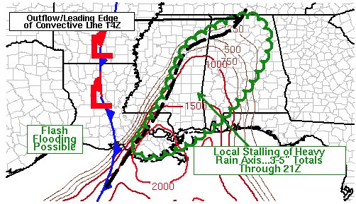
949a - While the line is still moving eastward, its motion appears to be slowing and that means an increasing threat of heavy rainfall. Localized rainfall totals of 3 to 5 inches will be possible next few hours and could lead to flash flooding. #lawx#mswx
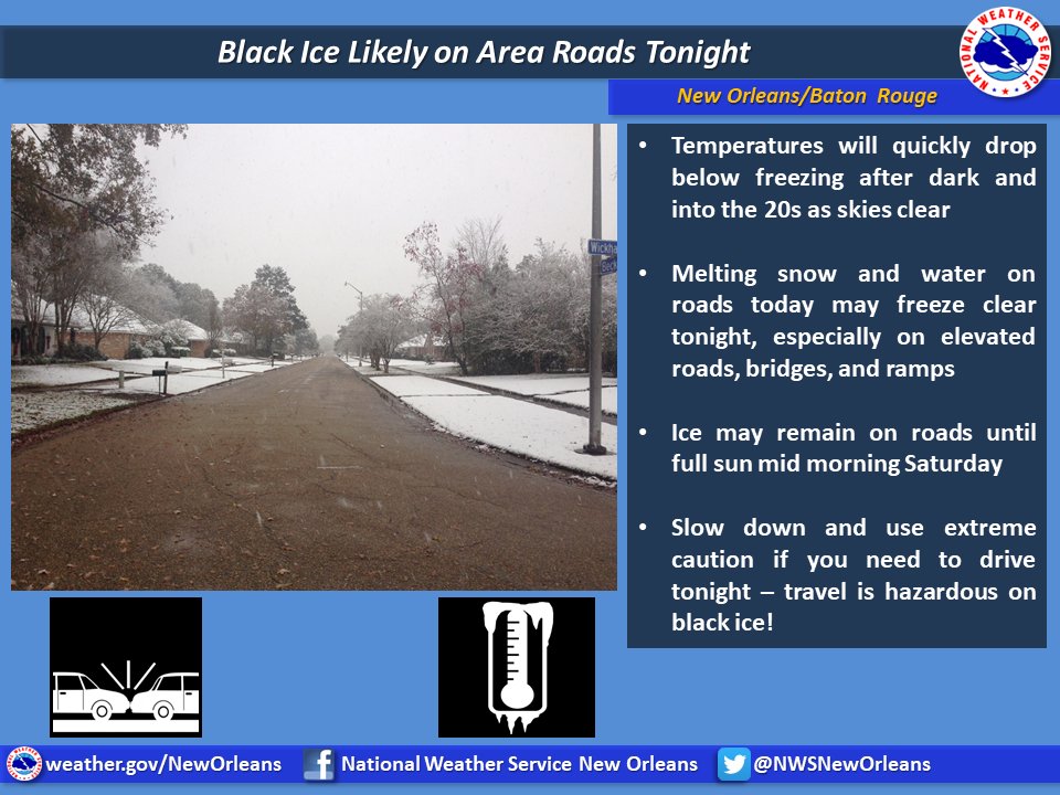
Temperatures will quickly drop into the 20s most areas after dark! Hard freeze across inland & northern areas. Black ice tonight on bridges & elevated roads will make travel hazardous! #LAwx#MSwx