We conduct cross-disciplinary environmental research using geospatial technologies & spatial sciences, with a particular focus on bridging geomatics & ecology.
Join us at 𝗚𝗲𝗼𝗛𝗮𝗯 𝟮𝟬𝟮𝟱! We will be showcasing our software package, HYPACK® GEOPHYSICS, which is designed for the acquisition and processing of side scan, sub-bottom profiler, and magnetometer data.
#sidescan#geophysics#sidescan#subbottom#geohab
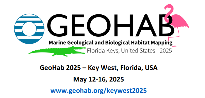
Star-Oddi is proud sponsor of the ongoing GEOHAB Marine Geological and Biological Habitat Mapping international conference in Key West, FL, US, May 12-16, 2025
https://t.co/QS7ii8L4uw
#GeoHab#salinitylogger@fio_stpete
The next GeoHab Conference on marine habitat mapping will be in Key West, Florida, in May 2025! Now accepting abstracts, and applications for student travel awards and sponsorship! All the info at https://t.co/Tto85vr2If. Distribute widely! @hab_geo@SFFGS_UF@seabed2030
@RSECJournal is looking for new associate editors in marine or coastal ecology, passive acoustic monitoring, lidar, structure-from-motion, passive acoustic monitoring, ground radar, and CNNs/RNNs! It's a great journal to work with! See details at: https://t.co/7fZoxgq4MN
Congrats to lab alumnus @ERodofili for being awarded the prestigious John A. Knauss Marine Policy Fellowship! Esteban will put his skill set to good use at the US Congress for all of next year! @SFFGS_UF@UFSNRE@UFCALS@UF_IFAS https://t.co/GH0JZztufY
Congratulations to lab member Esteban Rodofili (@ERodofili), who successfully defended his Ph.D. dissertation this week, "Semi-automated analyses of satellite and UAS imagery to inform marine mammal detection, migration route studies, and marine protected area design"! @UFSNRE
#SAGEO23 démarre fort à Québec avec plusieurs ateliers dont celui de l'action de recherche sur la géomatique marine et côtière @DavretJuliette@TheLecoursLab
#Geomorphica is OPEN for submissions 📢
The team is extremely happy to share that the new #DiamondOpenAccess journal in the field of #Geomorphology is open for submissions. Please visit our new homepage https://t.co/vZHywlyKnr
Do you interact with acoustic backscatter data in any way? Do you want to help define the priority research questions for the next 5-10 years? If so, please consider taking this 20-minute survey before June 9th!
https://t.co/KvJ6DpGaVR
New paper alert from our team! Alex Ilich developed a new and super easy-to-use (even for non-R people) R package to perform multiscale geomorphometric analyses! It also introduces a new terrain rugosity metric that is decoupled from slope.
https://t.co/gf87ffAnx4
@GeomorphomOrg
The cblindplot R package - a game-changer for data visualization for colorblind people! The cblind.plot() function easily generates color blind friendly plots, making it easier for everyone to interpret spatial data. Check it out: https://t.co/yh7DFcpYg3 #DataViz#ColorBlindness
📢Check out our new review about scale mismatches between predictor and response variables in species distribution modelling at @PiPGjournal with @TheLecoursLab, @vojta_bartak, @alezarzo et al.!
Ckeck out our paper led by Dr Michael Espriella @TheLecoursLab demonstrating the potential for drone-based laser surveys and surface metrics for mapping and measuring intertidal oyster reef complexity and condition @OxfordSeaEcoLab open access https://t.co/nyrn9SxqdL
New Research: Coastal benthic habitat mapping and monitoring by integrating aerial and water surface low-cost drones: Accurate data on community structure is a priority issue in studying coastal habitats facing human pressures. The recent… https://t.co/niyTmBCJYZ #MarineScience
Delighted to see our recent paper being one of the Editor's choice in Remote Sensing! Collaboration between @IRD @EPHE_Dinard @NASAGoddard funded by @MUSE_SeaCoast
#IssueCover
The #Drone Revolution of #Shark Science: A Review 🦈
by @Paul_A_Butcher et al.
Cited by 38 | Viewed by 11992
Full access https://t.co/R2oDtX34rF
Volume 5, Issue 1 (March 2021) – 23 articles
https://t.co/Tf9dkXwk6o