Het is nu officieel! Met de handtekeningen van @Leolucassen@KNAWHuC en @NLIJssennagger @FryskeAkademy is https://t.co/n3uSBtLRed overgedragen aan het HuC. En gaan de Fryske en het HuC meer gezamenlijk wetenschappelijk onderzoek doen! #fryskeakademy#hisgis
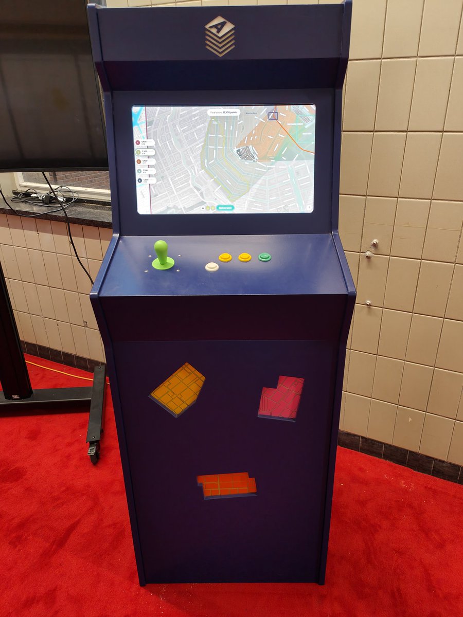
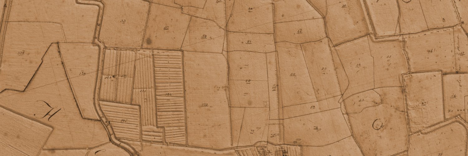
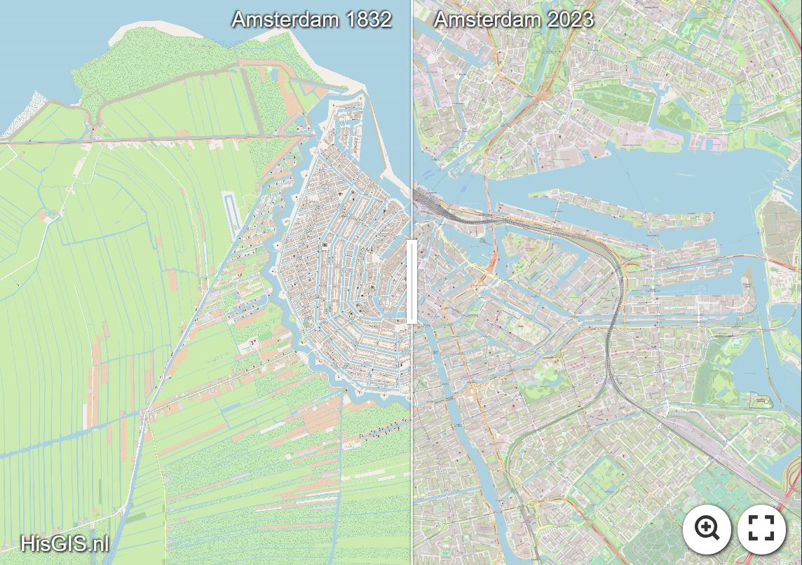
Heel mooi nieuws voor Rombert Stapel & Thomas Vermaut! https://t.co/BQa10ndoxD wordt dankzij nieuwe financiering duurzamer en gebruiksvriendelijker 🥳 De basis van HisGIS is het gedigitaliseerde eerste kadaster, dat in 1832 in werking trad. Meer weten? https://t.co/kS5d2pZ5hN
Dit jaar is het 300 jaar geleden dat de 'Oostendse Compagnie' werd opgericht. In augustus 1723 vlogen de aandelen voor de Generale Keizerlijke Indische Compagnie de deur uit.
Voor de activiteiten in Oostende rond dit jubileumjaar, vanaf november 2023: https://t.co/zBxVtFH9pd
🚀 Baserow charts are on the way! Use the live demo at https://t.co/FaPhvbSGQ5. Simply import your data to give it a try. For more details, visit https://t.co/gjpA5cArHh.
Shoutout to Andrey for building this—the power of open source! 🙏
#baserow#opensource#nocode#database
@bertspaan Awesome, Bert! This truely is a game changer for in-browser client-side map-warping. It makes these abstract transformations very tangible. Congrats to you and Manuel!
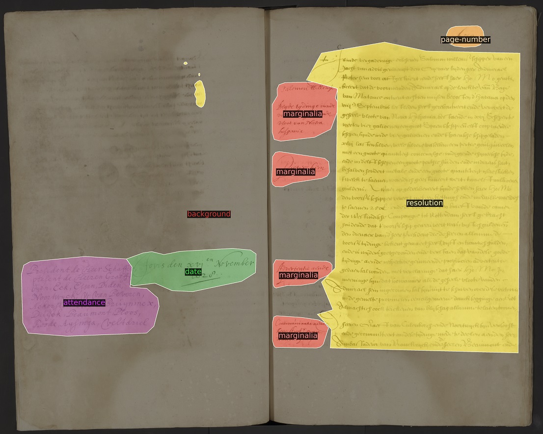
Today we make available the open source transcription software Loghi! It is developed by @rutgervankoert of our Digital Infrastructure Dept. in coop with @NLNatArchief to make scanned historical documents digitally readable and searchable. Read more: https://t.co/WkNKAQwrEa
🚨Call for papers: "TwinTalks 4: Understanding and Facilitating Remote Collaboration in DH". This workshop invites submissions reporting on all aspects of engaging in remote collaborative DH research and teaching. More information: https://t.co/ftRpKCVT94
NIEUWS: Jaap Evert Abrahamse is benoemd tot bijzonder hoogleraar Stad, landschap en erfgoed aan @VUamsterdam. De leerstoel is ingesteld in samenwerking met de Rijksdienst voor het Cultureel Erfgoed (RCE) @RCE_erfgoed. https://t.co/1D1D9wLSjK
… and the Historical & Geographical Information System (hisGIS): a digital package for processing spatial information. It allows you to travel in the past. They are looking for ‘citizen scientists’ 👉🏻 https://t.co/UUPbS5rYSm.
Thomas Vermaut talks about using, processing and analysing geo-information. Some project examples: World Historical Gazetteer, which provides an aggregated reference for all historical places & Allmaps, which is used for curating, georeferencing and exploring IIIF maps. #techday
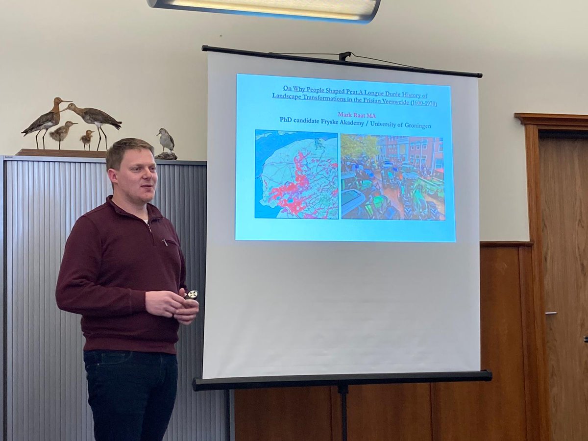
Tsjoch! De earste freedtemiddeibuorrel 🍻🍾🍹 fan #BirdEyes@GlobalFlyway mei fansels ek wittenskiplike ynhâld :). Us promovendus @MarkRaat oan it wurd oer syn feangreideprojekt. 📷 Marit Bijlsma
We have some very interesting events lined up this year, starting with our Open Tech Day on 30 March: https://t.co/fP0qFYB07M. Will you be joining us for discussions on shared technical challenges around national infrastructures?
Het Kadaster van 1832, digitalisering en gebruiksmogelijkheden. Bijeenkomst Netwerk Historisch Cultuurlandschap bij de RCE. Mooi en relevant onderwerp in context van leefomgeving-beleid.
Volgende week vrijdag geef ik aan Amsterdam Center for Language and Communication (UVA) een lezing over de "Frisia submersa"...🌊🙂
ofwel, over het verloren gegane Fries van Holland, Zeeland en Vlaanderen (wat vroeger ook wel Ingweoons werd genoemd)
https://t.co/nYnpWKGYzJ
Het @KNAWHuC zoekt een management assistent (0,8 fte) ter ondersteuning vd directeur Bedrijfsvoering en directeur Digitale Infrastructuur. Meer info: https://t.co/EdRirvGG5r
Het HuC is een samenwerking tussen @meertens_knaw@IISG_Amsterdam@huygens_knaw#vacature