Excited to announce that #TraWeather will be returning to #YouTube this spring of 2022! I Will have severe #weather live streams, weekly #forecast videos, new sharp weather graphics and more! Hope to see you then 😀
YouTube: https://t.co/BgpTtrXJcw
@SCweather_wx Have you seen the GEFS ensembles? They're EVERYWHERE dude...it looks like something that should be 250 - 275 hours out. Models have absolutely no idea what's happening
@SCweather_wx I kinda like how it looks rn. Suppressed but not too suppressed, cold air in place, and still about 200 hours out to get that typical northward trend
@nermanisnerman@wxbrad I think I'll do the same, lol
But really, anybody that simply says "Nope" this far out with an actually decent pattern forecasted for NC is pretty wild.
@BrokerWx I know this isn't going to happen and will probably do a 180 in the next model run, but the fact that the GFS even showed this happening...just wow.
I agree with what Josh said though, this is a good signal for Georgia for mid February snow potential with the GFS showing this ❄️
@Rh15078Rh@JustinWx That is a combination of all the Euro ensemble mean snow totals. The reason why you don't see anything on the "official" run is cuz not enough members showed the NE snow outcome. Though because the mean is 2-3 for those areas you mentioned, shows Euro isn't confident in anything.
@JoshGriffithWX I remember that Feb 2021 storm. Went to bed that night hoping to see a few wet snowflakes mixed in with the rain, and ended up getting over 2 inches of snow the following day
The setup and how the models are behaving is so similar to Feb 21. Hoping for the same outcome 😄
@JustinWx I was looking at some of the soundings across various models, and most are only about 1-2 degrees off from snow making it to the ground right around I-85 and northward. I know the NAM and a lot of other models have backed off, but I think we could still get a surprise.
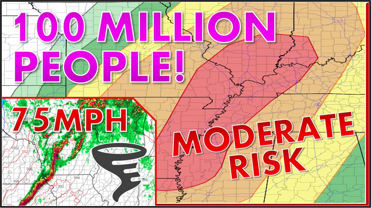
Over 100 million people are under the risk for #severe#weather over the next couple of days that includes large #hail, strong #tornadoes, and damaging winds. Watch the latest video of #traweather to learn more!
LINK: https://t.co/JSHQIMLp6e
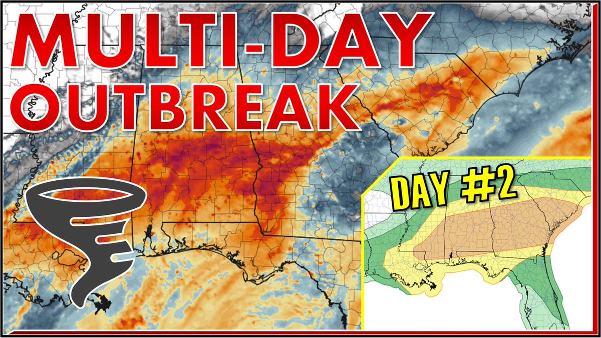
Severe storms return once again to the south for a multi-day event. Widespread #tornados, #hail, and damaging winds are all possible for millions of people!
Watch the newest video of #traweather to learn the latest
Link: https://t.co/2Fvt4s7d5X
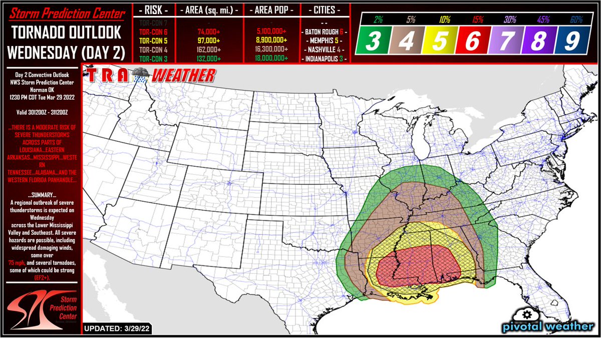
The #SPC has issued a moderate risk (level 4/5) for severe #weather tomorrow for a large portion of the south. Large and dangerous #tornados, 75mph+ winds, and flash #flooding are all on the table.
Watch the latest video of #traweather to learn more:
https://t.co/tNNplB5ix5
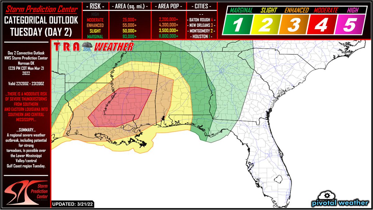
Looks like severe #weather has arrived just in time for spring! The @NWSSPC has issued a level 4/5 risk for millions of people in the south for both tonight and Tuesday. Since the severe threat is so high, I will have a video coming out later this evening! #TraWeather