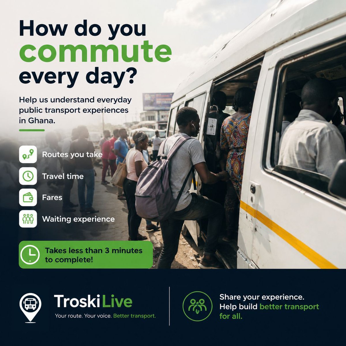
At TroskiLive, we’re gathering insights on everyday commuting.
If you use public transport (trotros), please take a few minutes to complete this short survey.
It takes less than 3 minutes:
https://t.co/5x9fsrZLgw
The typical trotro station every morning.
Engines warming.
Mates calling out destinations.
Passengers squeezing into seats, half-awake but determined to get to their destination.
It looks chaotic from the outside but somehow, it works.
Read more at https://t.co/D8NYWCzTvy
Every day, millions of people navigate Ghana’s public transport system with little more than experience and instinct.
They know which stations move fast in the morning, which routes are unpredictable after rain, and when it’s better to walk part of the journey instead of waiting
These routes exist in practice, not on maps. And that invisibility is one of the biggest barriers to improving how the system works.
If real-time tracking is the destination, route mapping is the starting point.
Read more at https://t.co/KfKWjf4CKu
Before public transport can become smarter, it must first become visible.
Every day, thousands of trotros move through Ghana’s cities, following routes that are well known to drivers and frequent passengers, yet rarely documented in a structured way.
Will the next trotro arrive in two minutes or twenty? Is this the fastest route, or is there a better option I don't know about? These unanswered questions quietly shape how people plan their days.
Real-time tracking has the potential to change this experience entirely.
For millions of Ghanaians, the day begins and ends with a trotro. Yet for all its importance, using public transport still involves a great deal of uncertainty.
Read more at https://t.co/J8tG6RuhzB
#trotro#transportation#technology#Ghana#Africa#digitisation
Digitising the trotro ecosystem is not simply a matter of convenience; it is the next logical step for improving mobility in a rapidly modernising Ghana.
Read more at https://t.co/hpEffzC1Dn
#transportation#Ghana#technology#digitisation#Africa