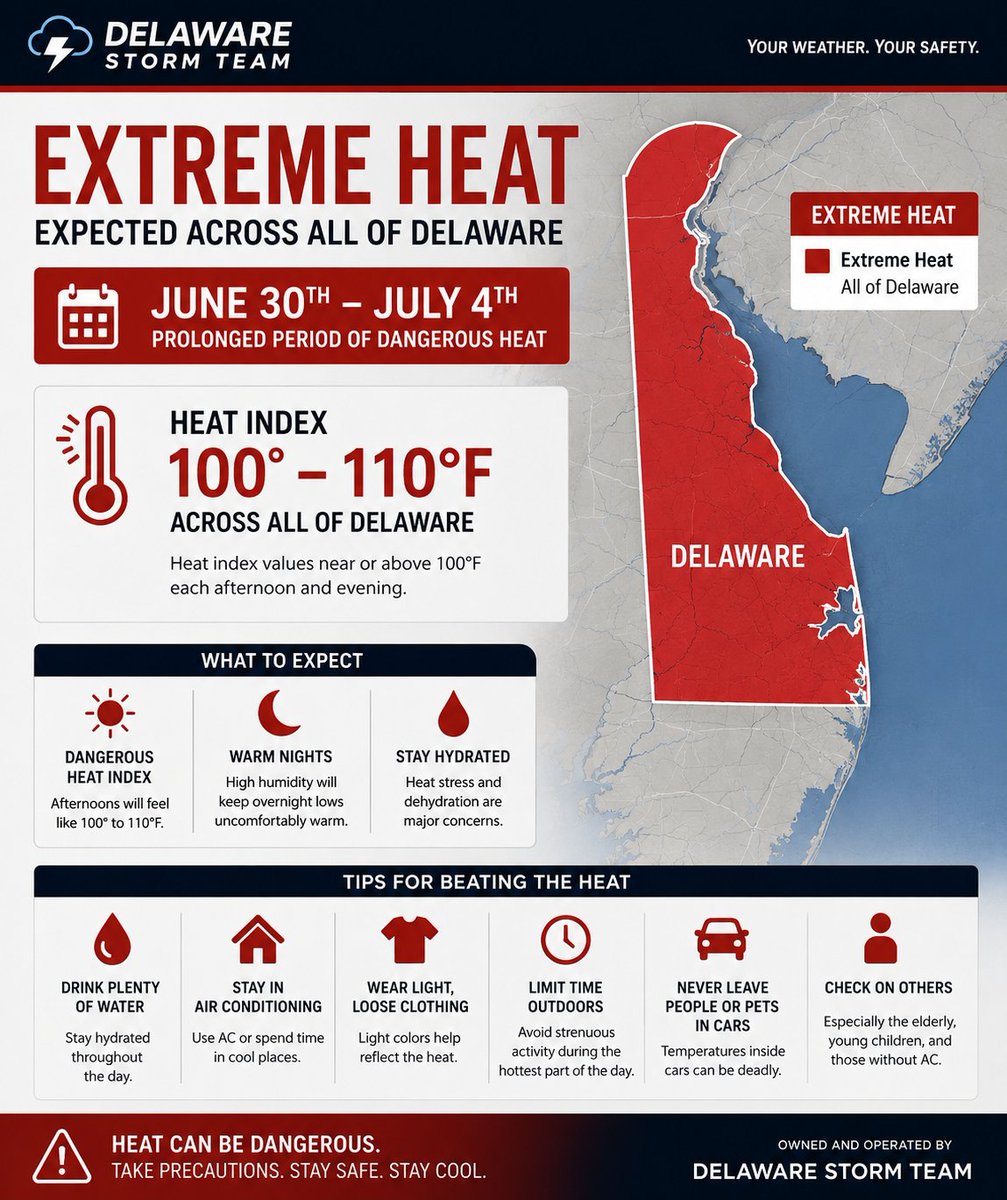
A Severe Thunderstorm Watch was issued for all of Delaware. Please ensure to check the weather while holding celebrations today as extreme heat clashes with a severe weather risk.
As of June 30th, 2026 for this years winter forecast we will no longer be purely estimating the snow accumulation totals and will instead merge the two together to form a Impact table to help better describe what residents in the storm will actually see instead of just a number.
Here is the following impact table used for the 2026 - 2027 Winter Season as a first test run in which by the end of the Winter Season (Somewhere around April 1st, 2027 we will determine the success of the test.
SPC just not learning time and time again. Another Slight Risk that got Delaware a Severe Thunderstorm Watch that will once again bust.
I mean why even issue the Watch the line has zero chance of making it here and storms by DC won't maintain severe status to hit here.
Not one to usually downplay weather threats but what are these Severe Thunderstorm Warnings? Looking on traffic cams and I'm seeing normal conditions. I mean the drivers are still driving without the 4-ways on!
The front of the Squall line was rainslop and the environment was not primed for any really big tornado risks (as expected). The squall line did move through and did bring overall a severe wind threat. I'd say my forecast for it on the 14th was mostly correct.
@ScottDimmich An enhanced risk the highest it should of gotten considering how conditional the tornado threat truly was.
None of the wind reports (at least that I've seen around SEPA and Delmarava where over 70MPH and many reports where below severe thunderstorm criteria. (40 to 50MPH winds)
@JordanHallWX A rare time I agree with you!
What really matters is what fires up in front of the squall which Models typically never do well with anyways.
The fact is anything that does form in front of it and becomes organized would have higher chances of forming hail and tornados. (This we will have to look out for the day of the event)
Keep phones charged and have multiple ways to get alerts
Hey yall
So this Monday is shaping up to be one crazy day so lets talk about it.
1. The weather threat we are looking at is primarily wind but like most Mid-Atlantic Events we can't rule out hail and spin up tornados.
This will most likely be mainly a squall line (1)
With winter being basically over (any snow that falls now will just be a white rain) I guess my winter coverage is coming to an end for now.
With that, I may or may not do some forecasting for our severe weather season so just know if you see me post, its probably worth a read.
Likely the last winter weather advisory of the season was just issued and to be honest statewide expect this to be primarily a rain event. You may see some flakes, you may see some sleet and even some freezing rain but it will all be quickly washed away by the rainfall.
Clipper System for this Wednesday
0-2 inches possible for New Castle County
Shouldn't be too big of a problem but keep an eye on roadway conditions, may impact the morning commute.
@NWS_MountHolly Unsure if you could explain but when I looked at a recap of the storm on radar it seemed like a lot of the bands fell apart when moving across the Delaware river into northern Delaware. Could you explain why that would happen?
I am now tracking a possible event within the 100 hour mark but can say there is high uncertainty in its precipitation type. I will keep you updated as I determine more.
Finds a way to not produce 12 inches is frustrating. Hopefully its the last storm of the season, spring needs to arrive and we need to move on.
But I will admit, I am frustrated with the lackluster conditions for New Castle County.
Reports coming in.
New Castle County: 8 to 10 inches. Not a single 12+ inch report.
Kent County: 8-16 inches (Grows as you move south)
Sussex County 16-19 inches.
I & the NWS completely got it wrong. Sussex County and Kent got majority of the good bands.
Takes me to my next complaint, why are these models so trash that they have to a massive spread between getting no snow and getting 24 inches of snow is extremely awful. I mean when the Euro is saying at most a coating and every other model is screaming 12+ inches how the storm