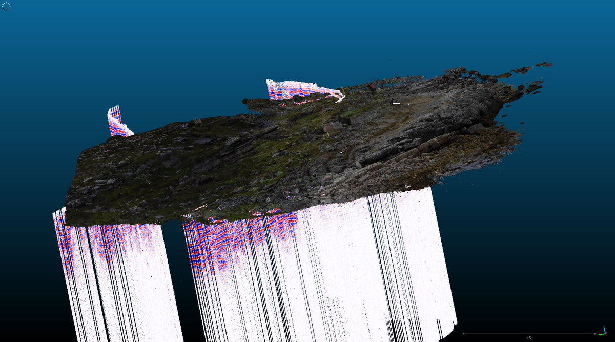
Quest of combining #subsurface#geophysical point cloud data with #mesh models has led us to the world of #Potree, #WebGL based point cloud renderer that will allow us to showcase large areas and their #geological features in the extent needed to comprehend geological processes👌
Fall of data processing has been about transforming material into models and combining different #3D content such as #GPR and #photogrammetry together. Surprisingly good models despite some challenging drone shooting conditions of last summer. Wonderful to see ideas come to life!
2 days at the fantastic #Visual3D conference were full of intresting ideas and insights into #visualization of #geoscience related #3D-content. An excellent energy boost for our project, thank you for the organizers and participants!
Our first site at Kalkkimaa quarry in Tornio features two-billion-year-old dolomite and quartz schist layers folded against a reverse fault. We captured a #GigaPan and photogrammetry imagery with the #MavicAir#drone to create a #VirtualReality model. #geodigiexpedition2019
Sadly we had no luck finding the #stromatolite in Syltefjorden, but fortunately we got some nice structures captured with #GigaPan. As the sun never sets we enjoy the views of the northeastern Norway around the clock! #geodigiexpedition2019
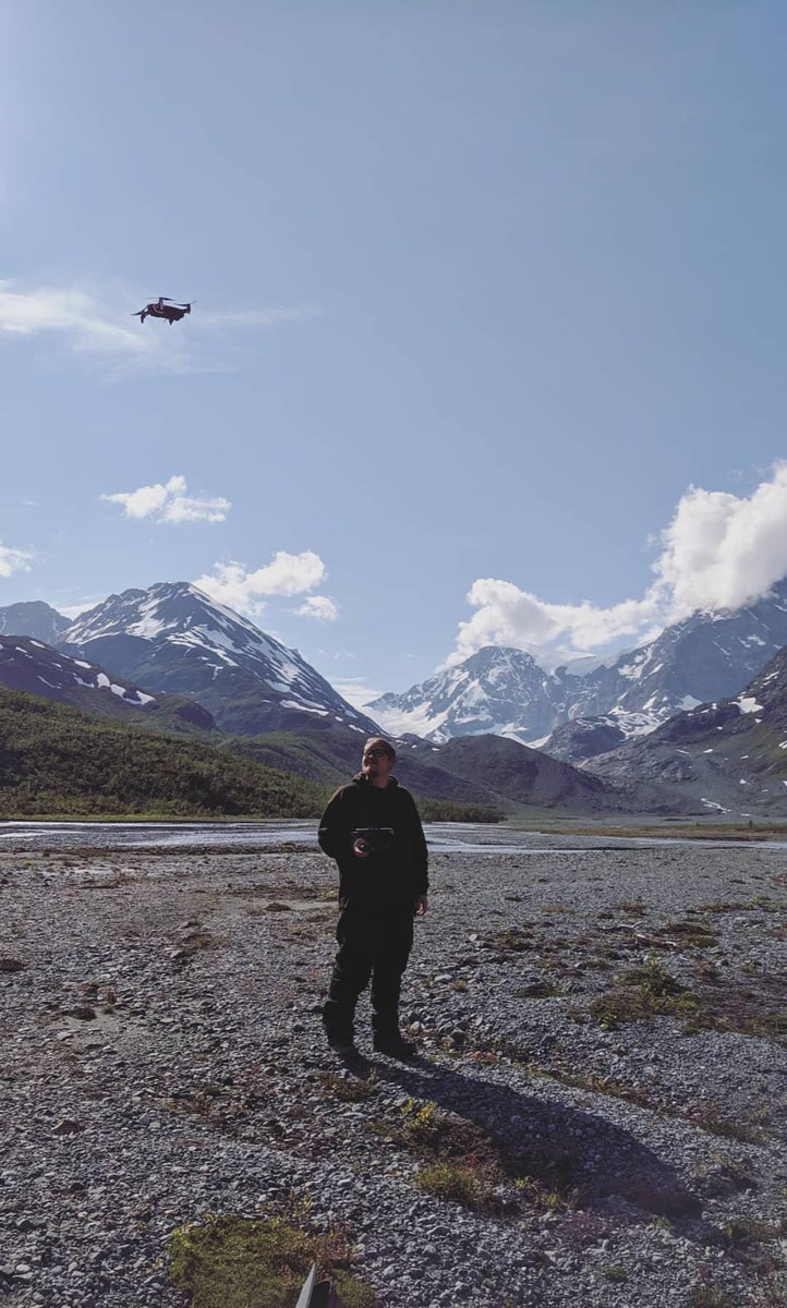
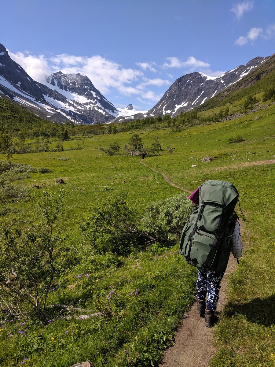
Join our trip through the Finnish and Norwegian Lapland as we explore and capture features of glacial geology, sedimentology and structural geology, and turn them into spectacular learning materials. #geodigiexpedition2019#digiloikka@Digiloikka_HY @Geo2Helsinki