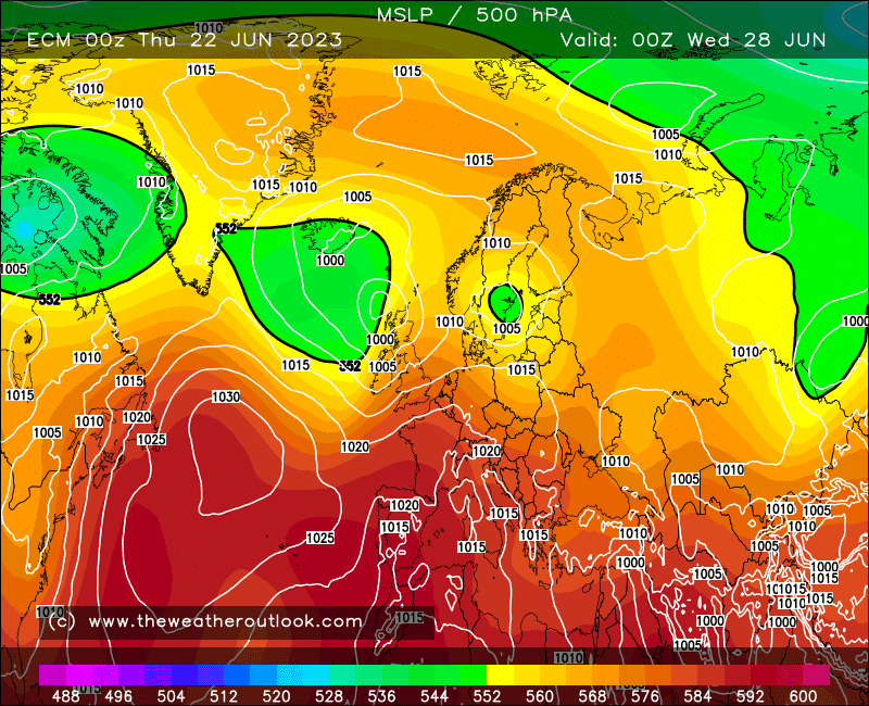
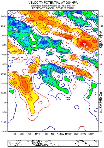
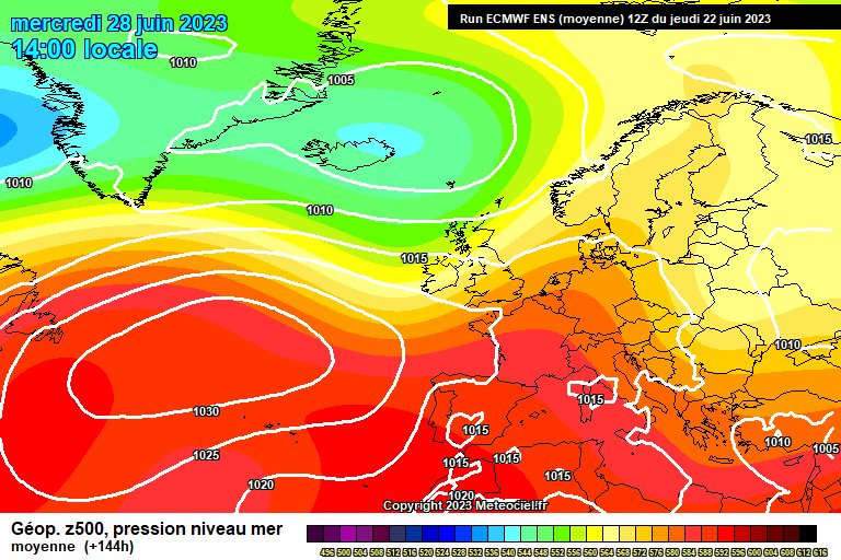
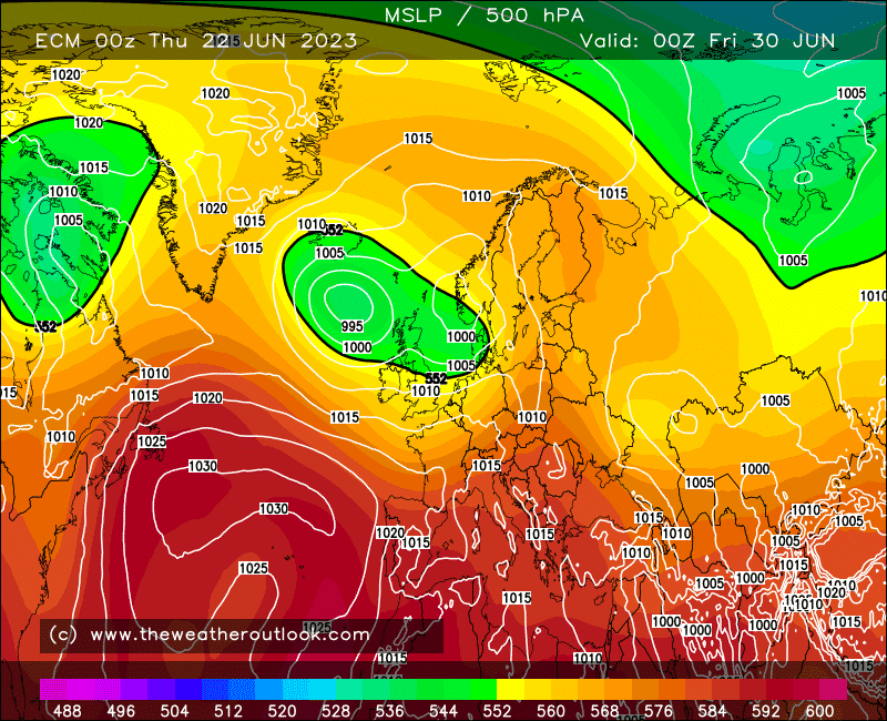
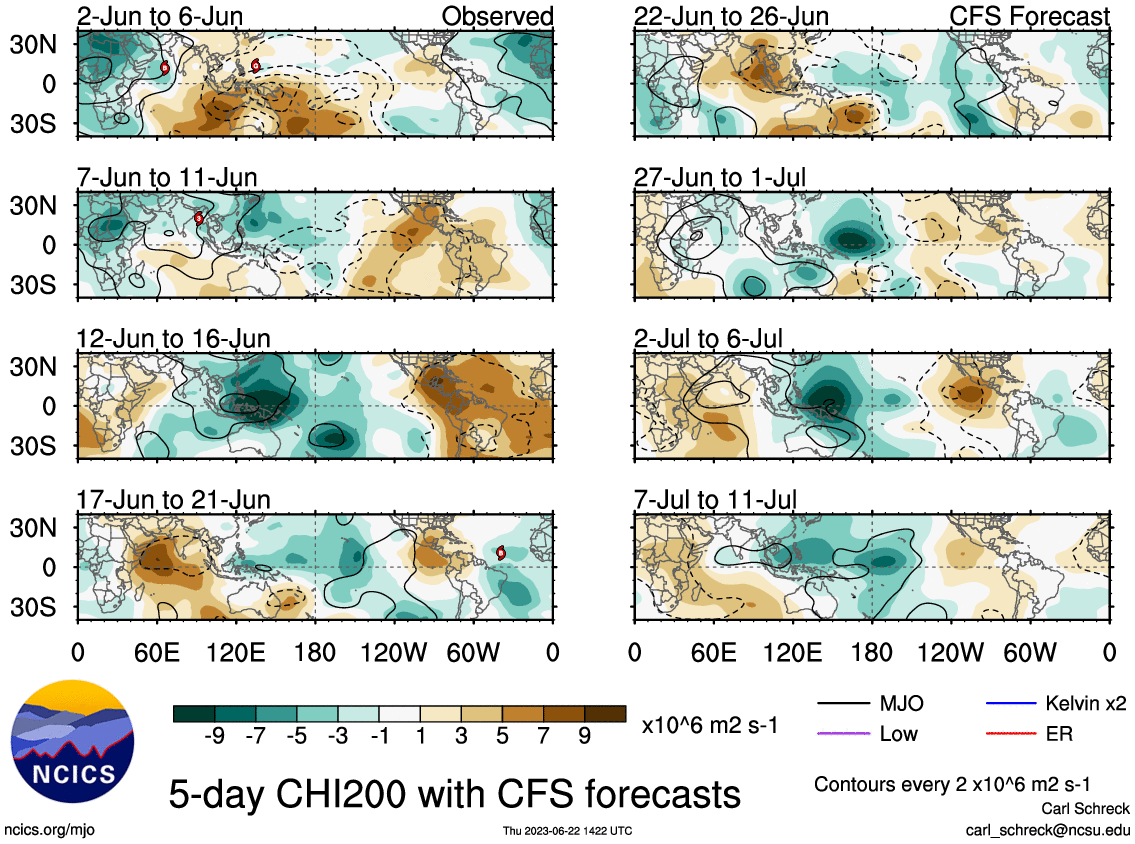
So the high pressure peaks on Saturday, with much of England and Wales dry and very warm, temps up to 30c
Further North West and into Scotland there will be showers/rain
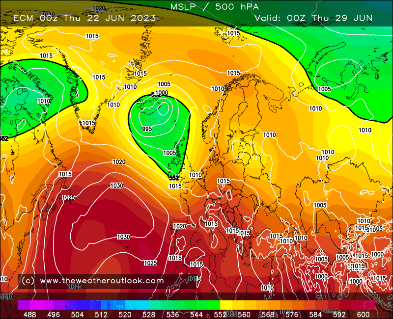
Much fresher on Monday, and then going into next week and into start of July, we will see a trough broadly to the North, so winds from a Westerly quadrant
Rain or showers particularly in the North West, further South and East much drier and still warm at times
Generally more unsettled than we've seen for a good while!
Apologies again
#UKweather
This Met Office YELLOW warning for THUNDERSTORMS is currently active. It covers central areas of England up to 8pm this evening.
Details: https://t.co/9SUf5pzyK8
Matt
Later in the 1st week of July onwards
We watch again for high pressure bringing more dry and warm weather, especially for the South
Not clear cut at this time but still very much watching this as we have been for weeks
Will update when things become more concrete
#UKweather
LIVE update from the Colorado Foothills with more high plains insanity expected today, including the potential for gorilla hail and an isolated #tornado. Live storm chase mode will be activated this afternoon. Be careful of attending another concert at Red Rocks this evening. It is possible all hell could break loose again! # cowx
Fine and sunny day ahead for many, some areas of cloud (as previously discussed) with temperatures peaking in the low 20's across parts of the south and west of #England, #Wales and #Ireland through the afternoon as high pressure lies to the west with a weak N or NW'ly airflow.
Wondering where the rain has gone? ☔
Whilst it's staying dry in the UK, if you're off on holiday to southern Europe it's worth keeping an eye on the forecast. Parts of Spain may see a month's worth of rainfall within a day or two.
Incredible storm structure underway near Bledsoe, Texas. This slow moving supercell is just sitting here and rotating. Watch live at: https://t.co/NYHSOgbcUn @NWSAmarillo@NWSLubbock#txwx
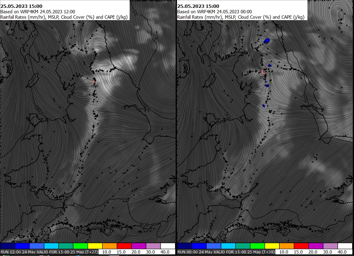
Cloud amounts today likely to be driven by convergence zones (where two wind areas meet) and high resolution data (last 2 runs) show such a feature running down #NEngland and into the #Midlands this afternoon - This likely to be a focus for a cloudier zone of weather.
📈🌤️ Any mist and fog patches readily clearing after dawn, leaving a dry morning on Thursday with temperatures quickly rising in the sunshine
☁️ A cloudier start compared to Wednesday in places, especially for northern, central and eastern areas of England
🔵 Do you have azure blue skies this afternoon?
☀️ It's not sunny everywhere, parts of the UK have some cloud, but do you know which type you're looking at?
Find out more on clouds here👇
https://t.co/2xloh2vwyC
It's a very pleasant afternoon for many, especially across #England and #Wales where little cloud is present. High pressure persists to the west with a light or moderate N or NW'ly breeze in the coming hours with temperatures peaking at near 20C or 21C...
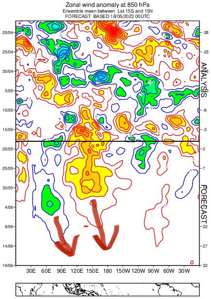
All looks interesting for the summer lovers going forward
We have to watch for the Scandi high and Atlantic\Iberian low developing in the 2nd half of June. Not clear cut at the moment but I’ll keep watching
Lots of fine and dry weather to come in the next 3 weeks #UKweather