How are researchers at @USGS using drones to accelerate their science?
Check out this collection of publications by #USGS authors who utilize #UAS data and technologies:
https://t.co/cjIPTfvAX2
Photogrammetry techniques and workflows are essential for landscape monitoring at @USGS. In February 2025, we hosted an annual training class to strengthen these skills across the @Interior workforce for applications like mapping natural hazards along U.S. shorelines.
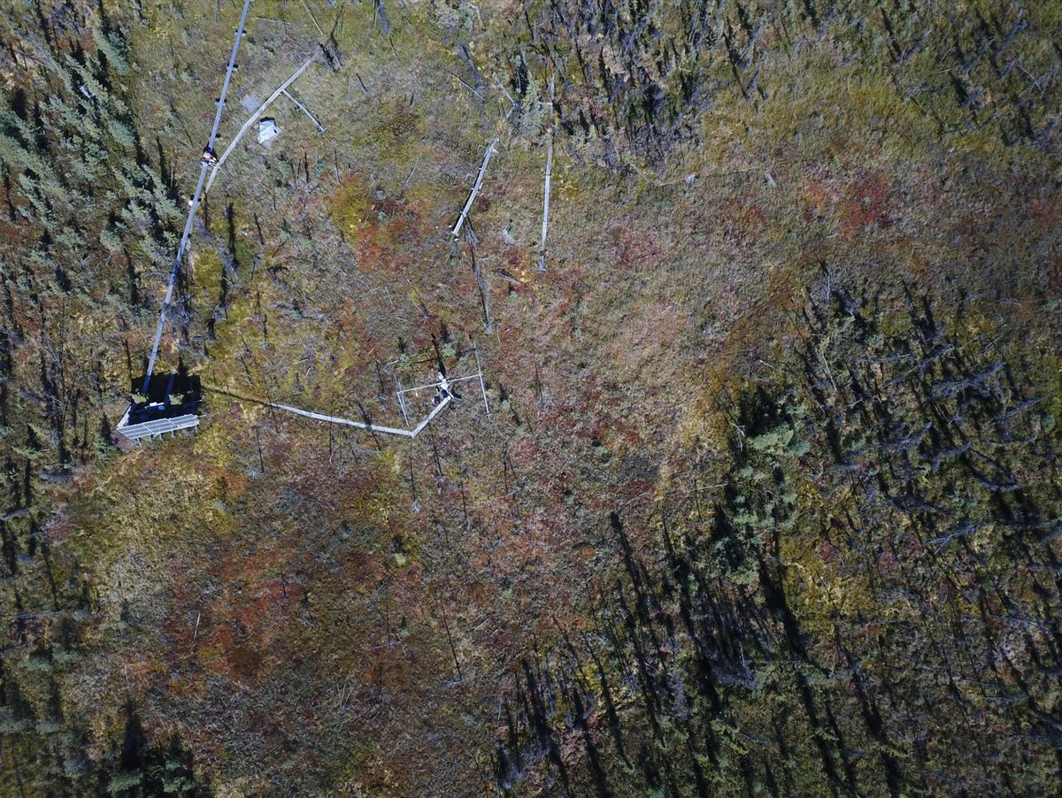
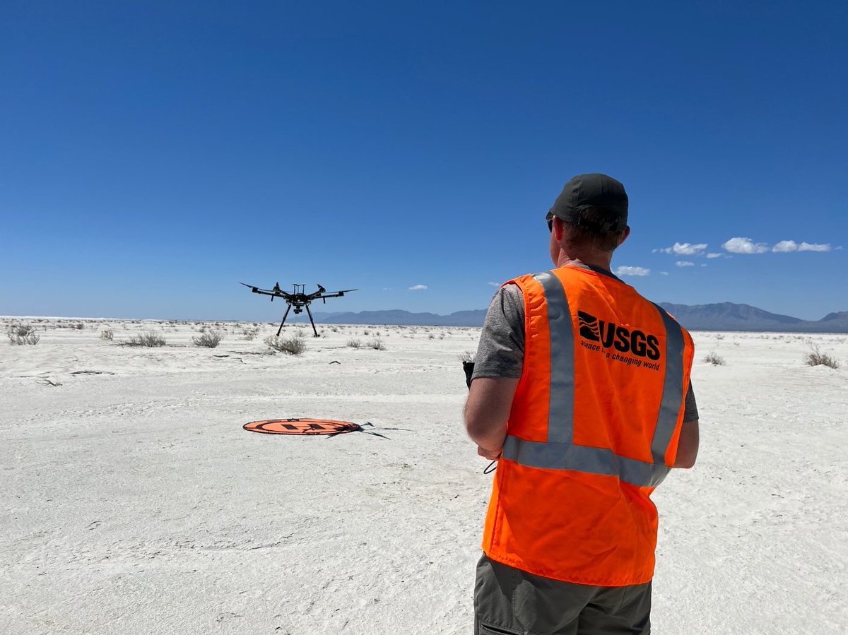
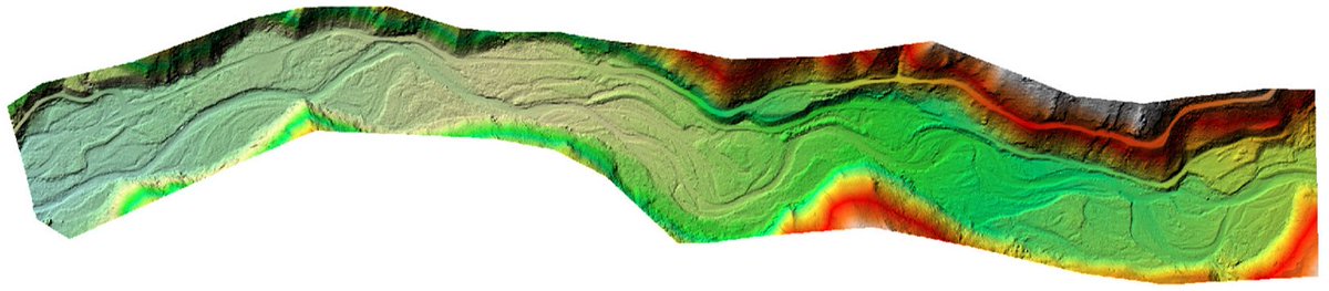
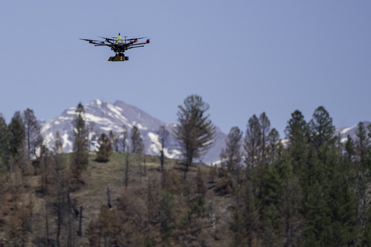
New data release led by hydrologist Chris Holmquist-Johnson of the Fort Collins Science Center!
LiDAR, natural color and thermal infrared data collected by #UAS for mapping topography and stream temperature along the Vermilion River, Montana.
https://t.co/dMzpZAGy4E
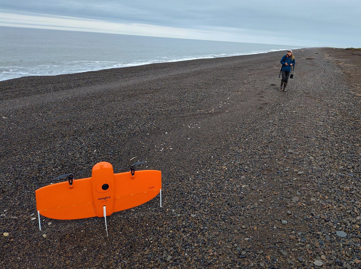
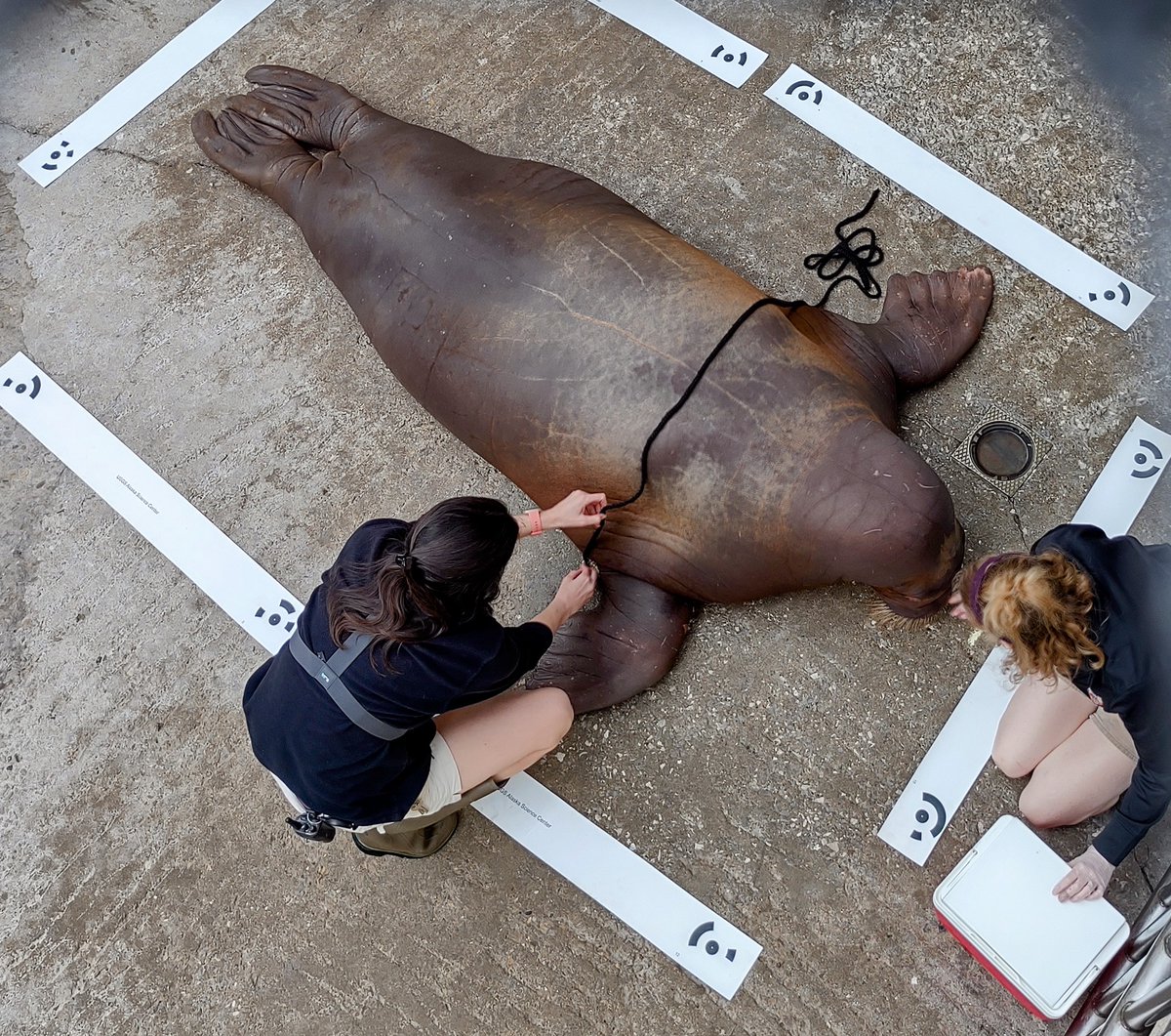
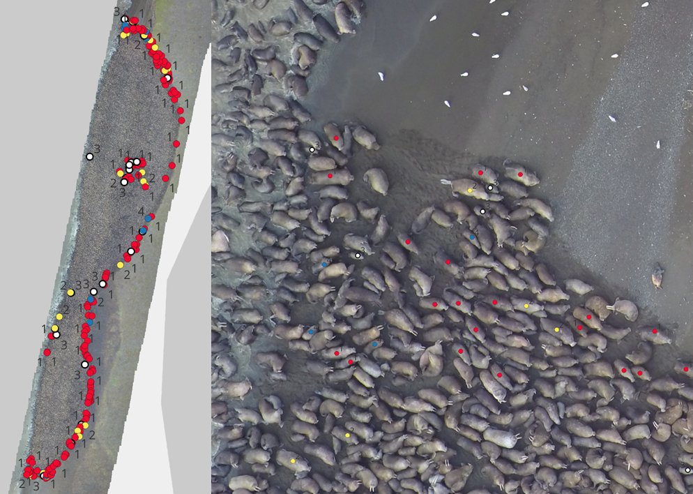
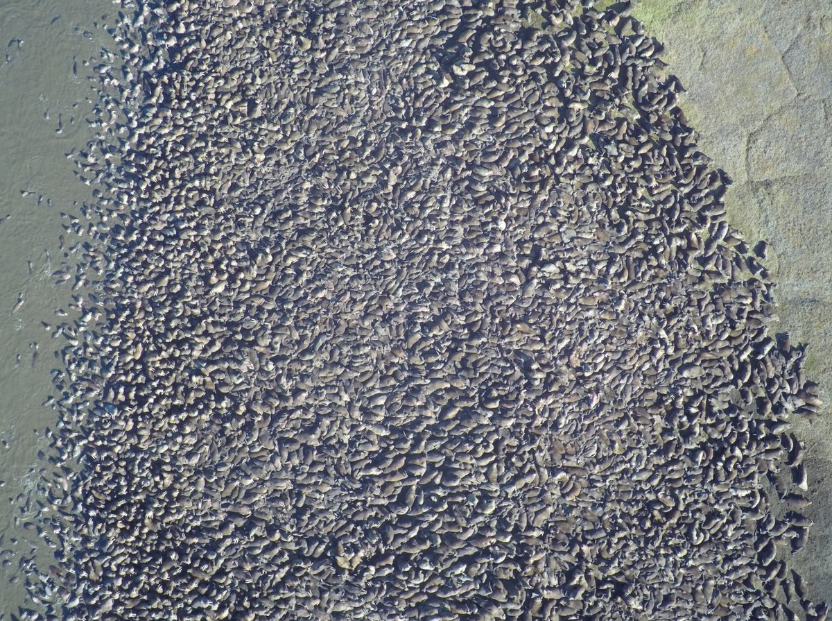
New Q&A from the USGS Alaska Science Center:
Innovative drone technology provides critical insights into the body condition and health of Pacific #walruses in a changing Arctic.
https://t.co/Q1Kq8xupGb
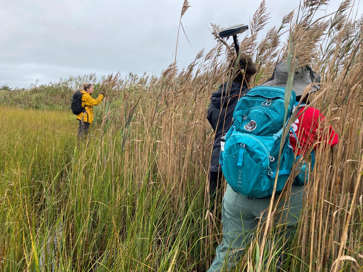
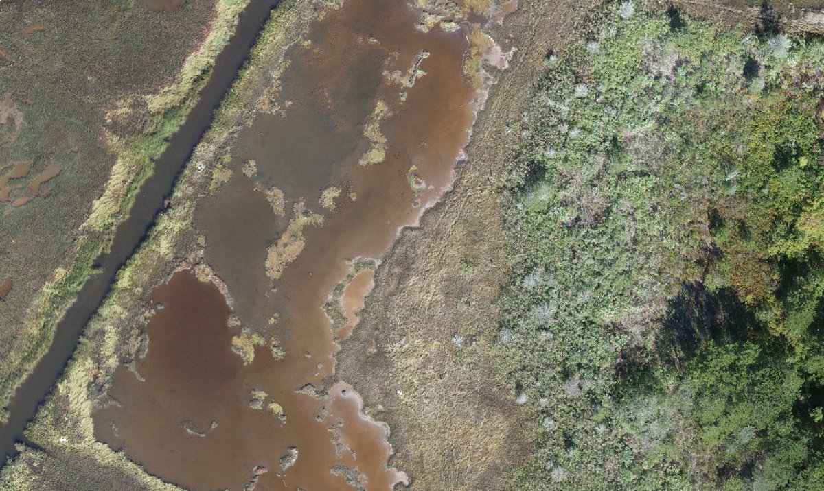
USGS researchers are exploring the use of uncrewed aircraft systems (UAS, also known as drones) to map and monitor invasive species like Phragmites australis in coastal environments:
https://t.co/4UVNJOzZIN
#USGS#NISAW#InvasiveSpecies#Drones
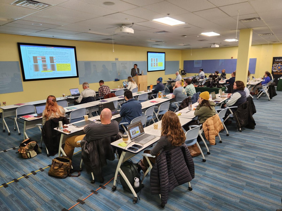
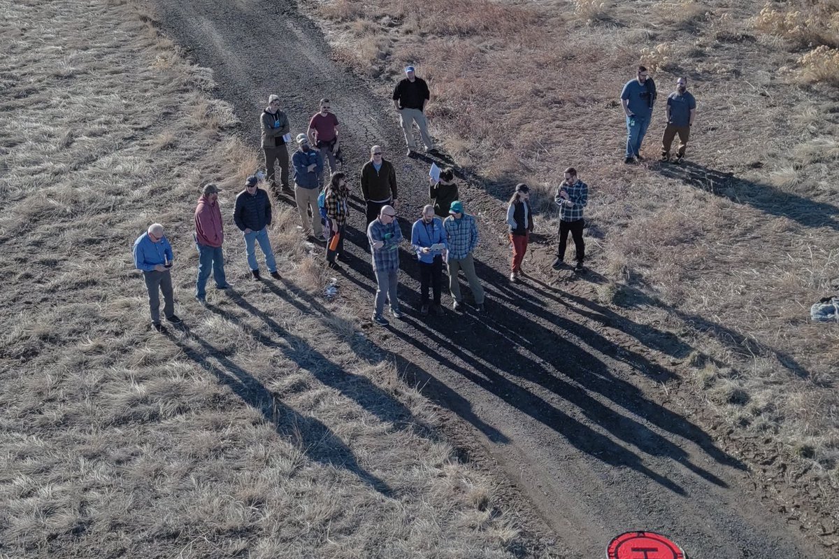
Last week, we hosted a remote sensing calibration seminar at the Denver Federal Center. Thank you to all of the knowledgeable speakers and attendees (both in-person and virtual) who joined us for an educational day!
The document that outlines U.S. Department of the Interior (@Interior) Office of Aviation Services policies on the operations and management of Uncrewed Aircraft Systems (UAS, also known as #drones) has been reviewed and revised for 2025:
https://t.co/b7zrclZ3hZ
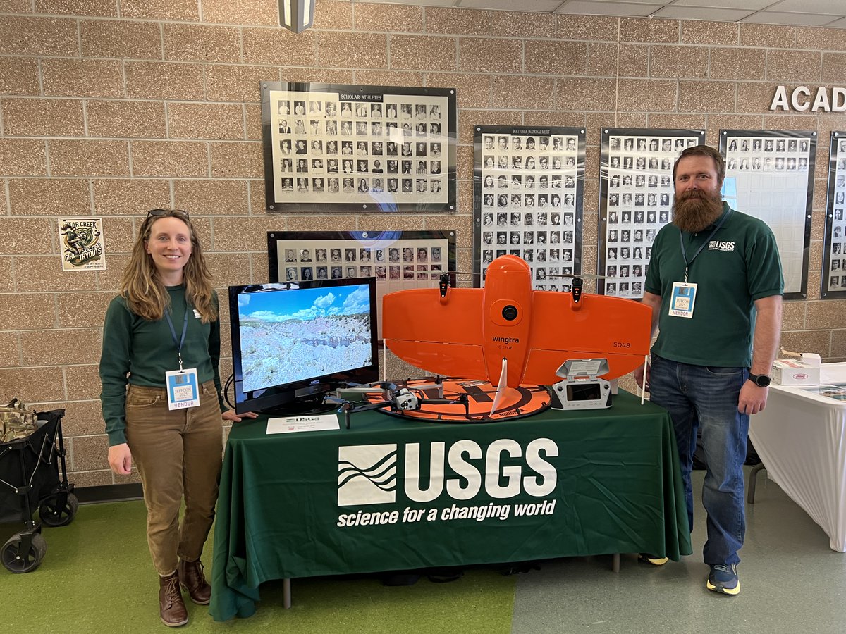
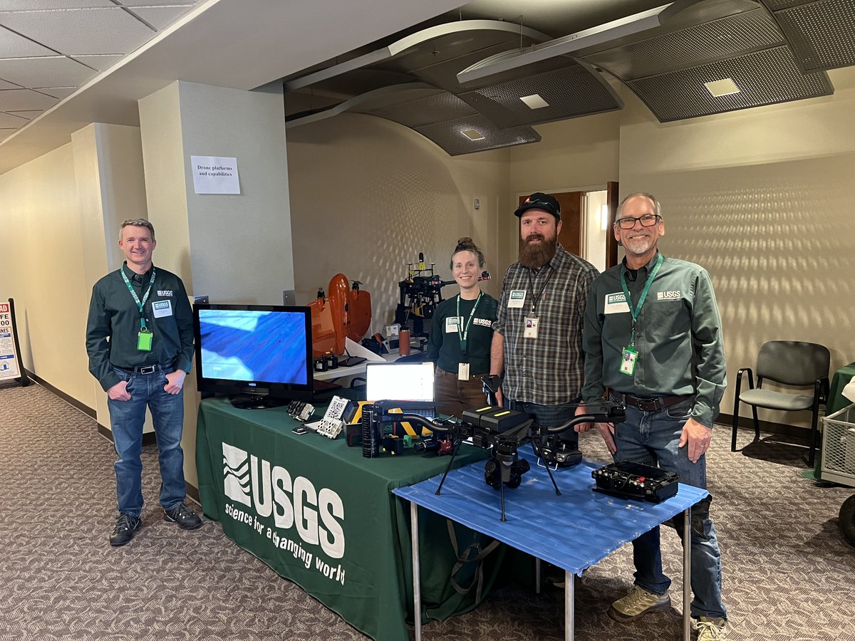
Earlier this month, USGS remote pilots hosted a table at JeffCon 2025, an annual technology conference for Jefferson County School District students to learn about career paths in the field of IT.
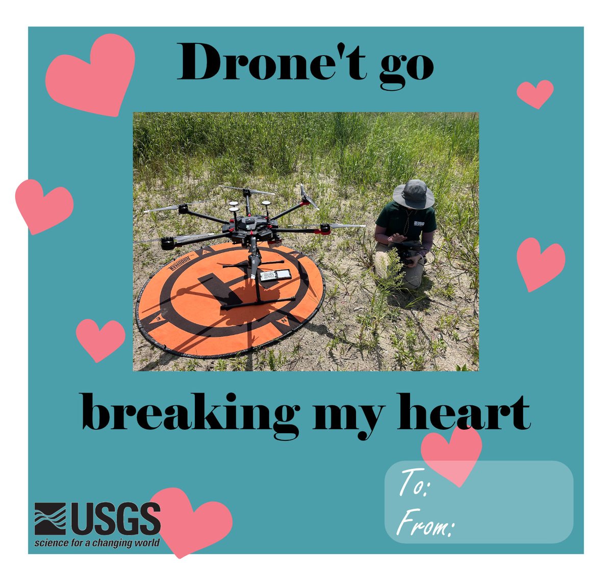
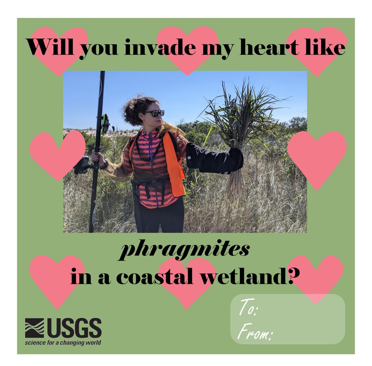
Happy Valentine's Day 💗 Here are some valentines to share with the #drone pilots and geographers in your life, courtesy of the USGS Woods Hole Coastal and Marine Science Center 💌
@USGSCoastChange@usgs_climate@USGS_Water
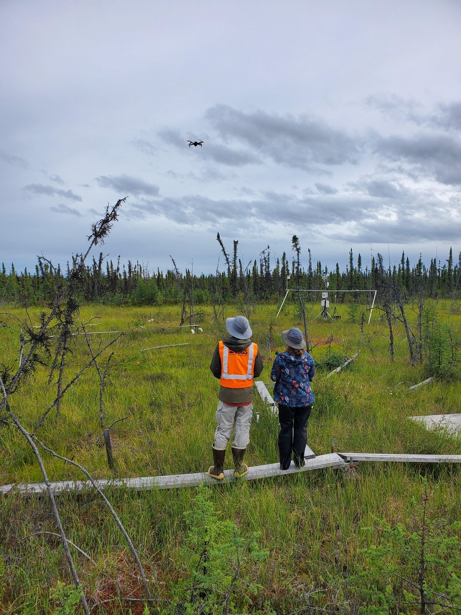
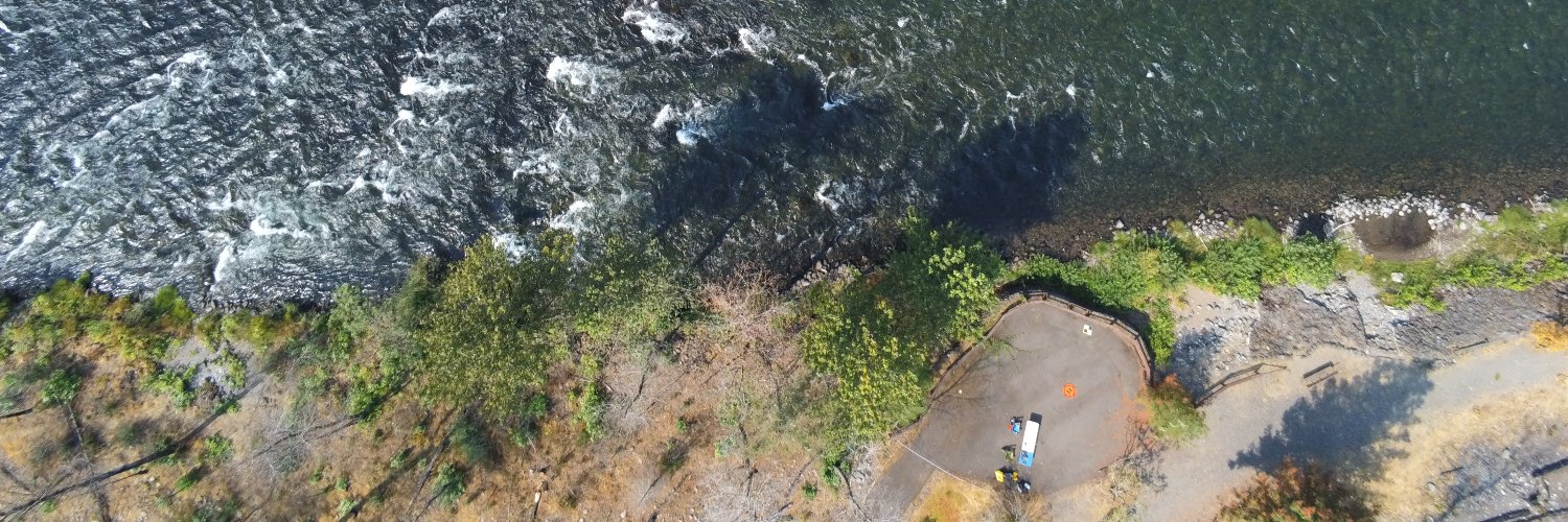
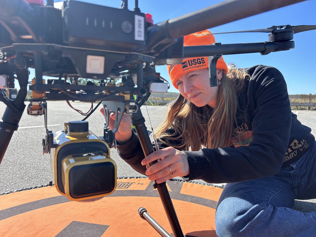
Congrats to USGS geographer Jin-Si Over, who captured this winning photo in the People category of the USGS Northeast Region Fall 2024 Photo Contest 🎉
In this photo, UAS pilot Jennifer Cramer (@USGSCoastChange) attaches a lidar sensor to a drone in preparation to map a beach.
New publication led by research geographer Miguel Villarreal (@USGS_WGSC) and collaborators!
Applications of unoccupied aerial systems (UAS) in landscape ecology: a review of recent research, challenges and emerging opportunities.
https://t.co/pygb83fcSd
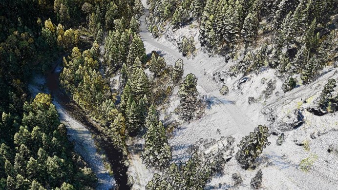
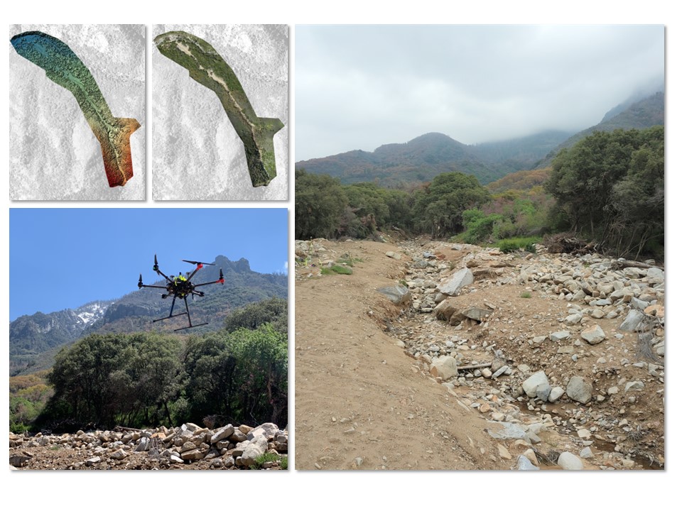
New USGS data release by the Pacific Coastal and Marine Science Center (@USGSCoastChange):
Aerial imagery and structure-from-motion derived data products from a #UAS survey of the debris flow at South Fork Campground, Sequoia National Park, California.
https://t.co/AlFTiVr7im
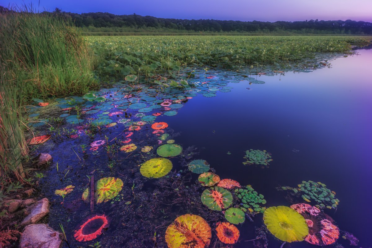
It’s World Wetlands Day!
Wetlands support people, wildlife and communities in many ways:
💧 Clean drinking water
🐟 A nursery for wildlife
🌊 Natural flood protection
🌿 Pollution filtering
Photo at Great Meadows National Wildlife Refuge by Sylvia Zarco
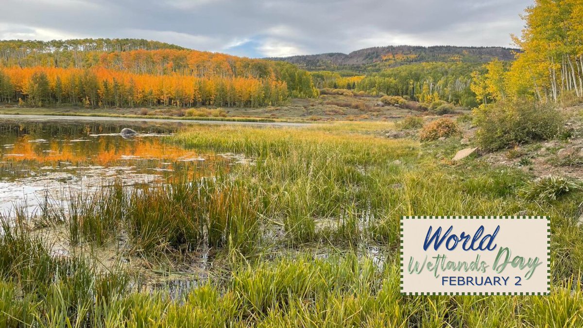
🌿 Happy #WorldWetlandsDay!
Wetlands are biologically and physically dynamic and are among the most productive and valuable ecosystems in the world. Learn more about these valuable resources: https://t.co/SqBTjQrZJy
🎥 New UAS video: On Friday, January 17, @USGSVolcanoes geologists flew a UAS into Halema‘uma‘u crater to capture this close-up video of spattering at the two active vents of the ongoing Kīlauea summit eruption.
Learn more:
https://t.co/sOMKIzq1pl
With permission from Hawaiʻi Volcanoes National Park, @USGSVolcanoes scientists conducted UAS operations at the Kīlauea summit eruption site on January 17, 2025 to assess volcanic gas emissions and take aerial imagery, which will aid in hazard assessment of the ongoing eruption.
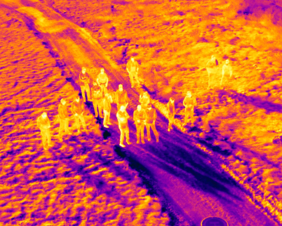
Many modern drones come with integrated thermal cameras, but how can they be used to their fullest potential? Federal engineers at the Bureau of Reclamation (@usbr) coordinated a thermography training last week in Denver for UAS operators to better understand thermal science.
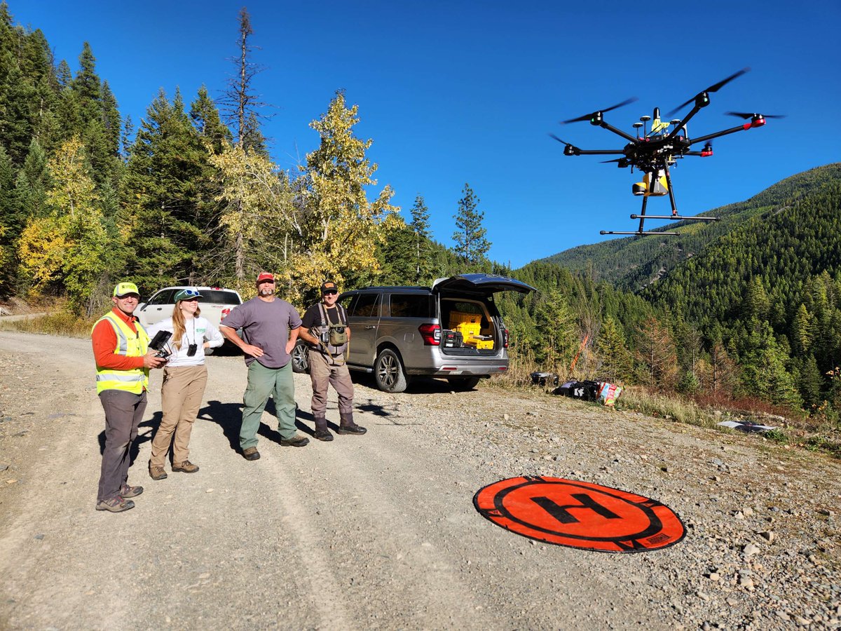
Uncrewed technologies and remote pilots were well represented earlier this month at the USGS Next Generation Water Observing System (NGWOS) Stakeholder Outreach Meeting in Denver, Colorado! @USGS_CO@USGS_Water
New data release! #UAS imagery and derived 3D models of the Marsh-Felch dinosaur quarry site in Colorado. Fossil discoveries in this area sparked the “Bone Wars” of the late 1800s and inspired the selection of Colorado's state fossil, the Stegosaurus.
https://t.co/DQyy43t0c0