Projects for public administration - GIS, geoinformatics, spatial planning, spatial and network analysis, land suitability, visualisation, maps, athlases.
Představujeme vám nový Datový portál Moravskoslezského kraje 👉 https://t.co/gOCXyEuRPI
🔹 Datové sady z Atlasu MSK
🔹 Aplikace Karty obcí
🔹 Napojení na Národní katalog Otevřených dat
Děkujeme kraji za příležitost a za spolupráci s OpenDataStudio a Slant.
🔍 Ve spolupráci s Olomouckým krajem jsme analyzovali dopravní dostupnost klíčových služeb!
✅ Síťové analýzy pro pěší, MHD i auta
✅ Hodnocení dostupnosti pro 20 bodů zájmu
✅ Data pro lepší plánování infrastruktury
Díky nim lze lépe pochopit a zlepšit přístup ke službám!
V loňském roce jsme se zaměřili na lepší zpřístupnění výstupů územního potenciálu formou mapových aplikací.
🔹 Kolín
📖 Story mapa: https://t.co/lnRDqdHDJ9
📊 Dashboard: https://t.co/DFDJbeUF2Z
🔹 Kadaň
📖 Story mapa: https://t.co/2ufQStnKcZ
📊 Dashboard: https://t.co/ADV8j80MpB
Podívejte se na naši úplnou aktualizaci Územně analytických podkladů ORP Znojmo. Inovativně jsme do procesu zapojili dotazníkové šetření ve spolupráci s https://t.co/SkMkTAy2l7 a karty obcí v Esri Dashboard.
Story mapa: https://t.co/BGiCDlAE3s
Dashboard: https://t.co/17Ql4OQ2Ol
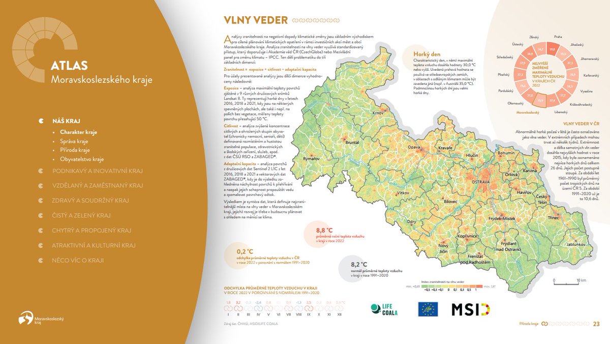
🌟 The second edition of the Moravian-Silesian Region Atlas is here! Discover insights on commuting, secondary education, and more. Explore it through the story map: https://t.co/SnoTbbCngL or download the full version: https://t.co/lImHEbLatH 🗺️ #AtlasMSK
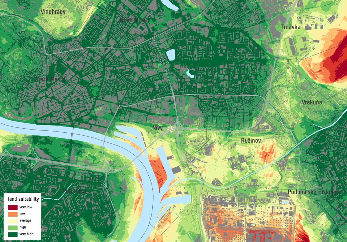
Curious about future land suitability? 🔭👀 Our model uses data from territorial studies and investment plans to provide a 5 to 10 year prediction. Jihlava can identify attractive areas for quality of life and investment in construction.
We have established a successful cooperation with FUTURAinvest. Our analysis is a key component in the definition of the Principles for Investor Engagement. Over the past six months, we have supplied our data to a total of six cities.
#UrbanPlanning#LandSuitability"
We finished the land suitability analysis for The Metropolitan Institute of Bratislava (MIB). We computed 3 scenarios of the land suitability for 6 categories of land use. The results will be used to determine the forecast for the development of the city.
Last week we attended the Esri GIS Conference in the CR 🌎, where we presented a tool for assessing city development priorities. We would like to thank our colleagues from the GIS department in Jihlava who prepared three excellent map applications 👏👉 https://t.co/g2lPKaKBQF
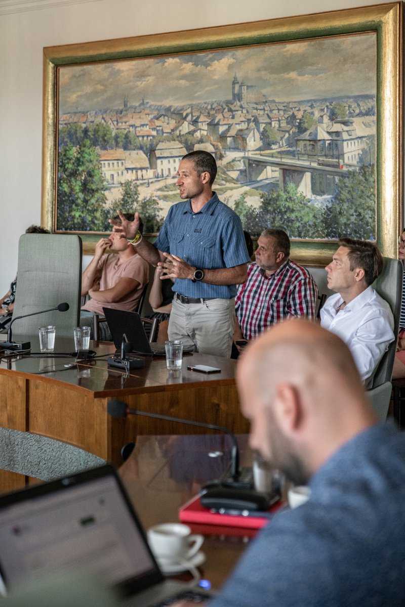
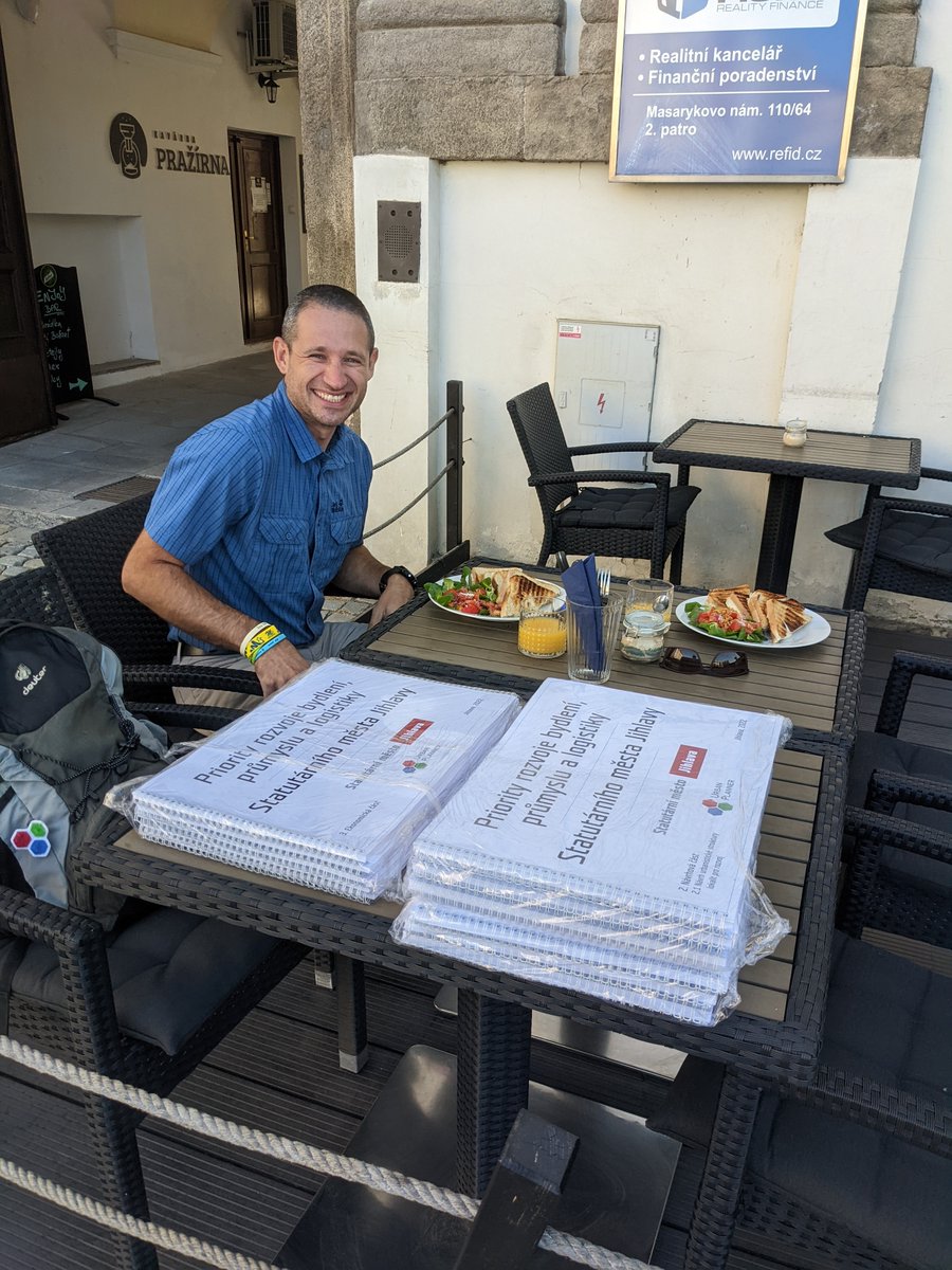
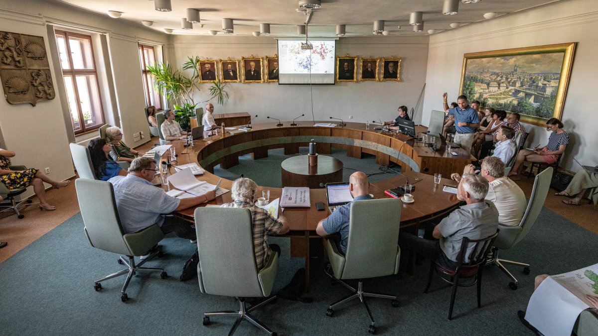
The study for Jihlava is finished! 🎉🥳 During the handover, we presented to the council the possibilities of using the analyses for strategic and spatial planning. We are already working on the extension. We thank all our colleagues for the great cooperation.
The third stage of our study for Jihlava was economics💰We evaluated the costs of the sites for construction. We also modelled the impact on the city budget with a view to the next 50 years 🔭 We took into account both tax revenues and infrastructure and maintenance costs.
@ActiveCzech Jsme rádi, že že se vám to líbí. V minulosti jsme podobně zpracovali celý Olomoucký kraj a částečně také město Zlín. Dále záleží na zájmu :) Klidně se ozvěte.
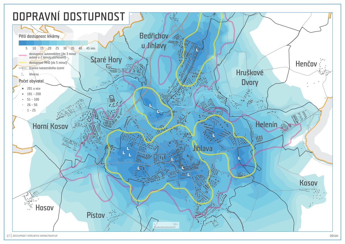
In the study for the city of Jihlava we prepared an analysis of transport accessibility of public infrastructure such as schools, supermarkets etc. By combining accessibility with population density we pointed out places where it would be appropriate to add more infrastructure.
In the study for the city of Jihlava we prepared an analysis of transport accessibility of public infrastructure such as schools, supermarkets etc. By combining accessibility with population density we pointed out places where it would be appropriate to add more infrastructure.
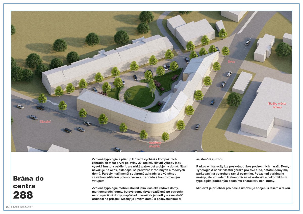
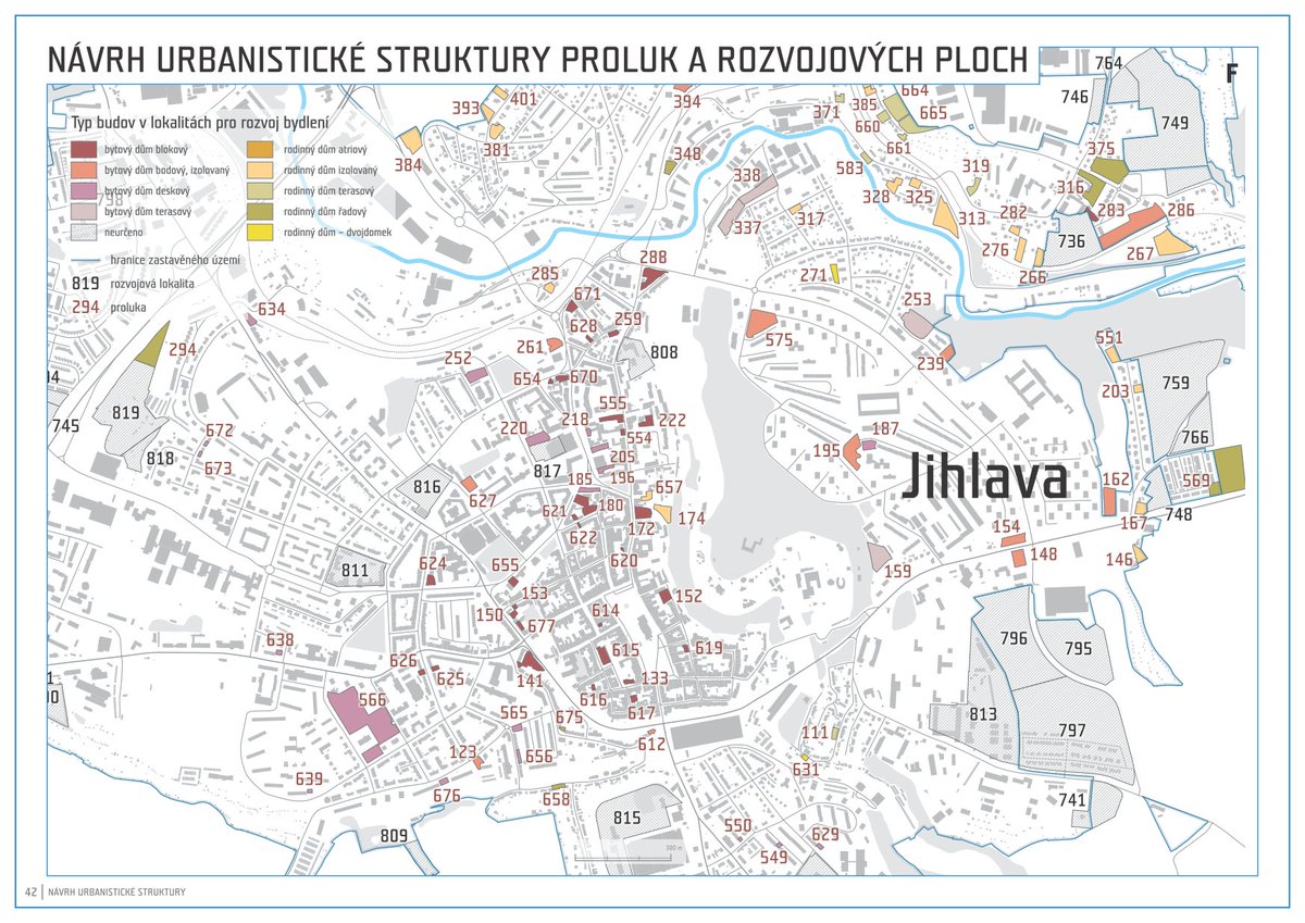
In the next part of the study for the city of Jihlava, we followed up with a proposal for an optimal urban structure. Together with the city representatives, we selected the most interesting locations for which we prepared graphic visualisations of the urban design.👀👇
For our Atlas of the Moravian-Silesian Region, the expert jury decided to award us the title of Map of the Year 2021 in the category Atlases, Map Files and Editions. 🎉 Thank you, we really appreciate the award!
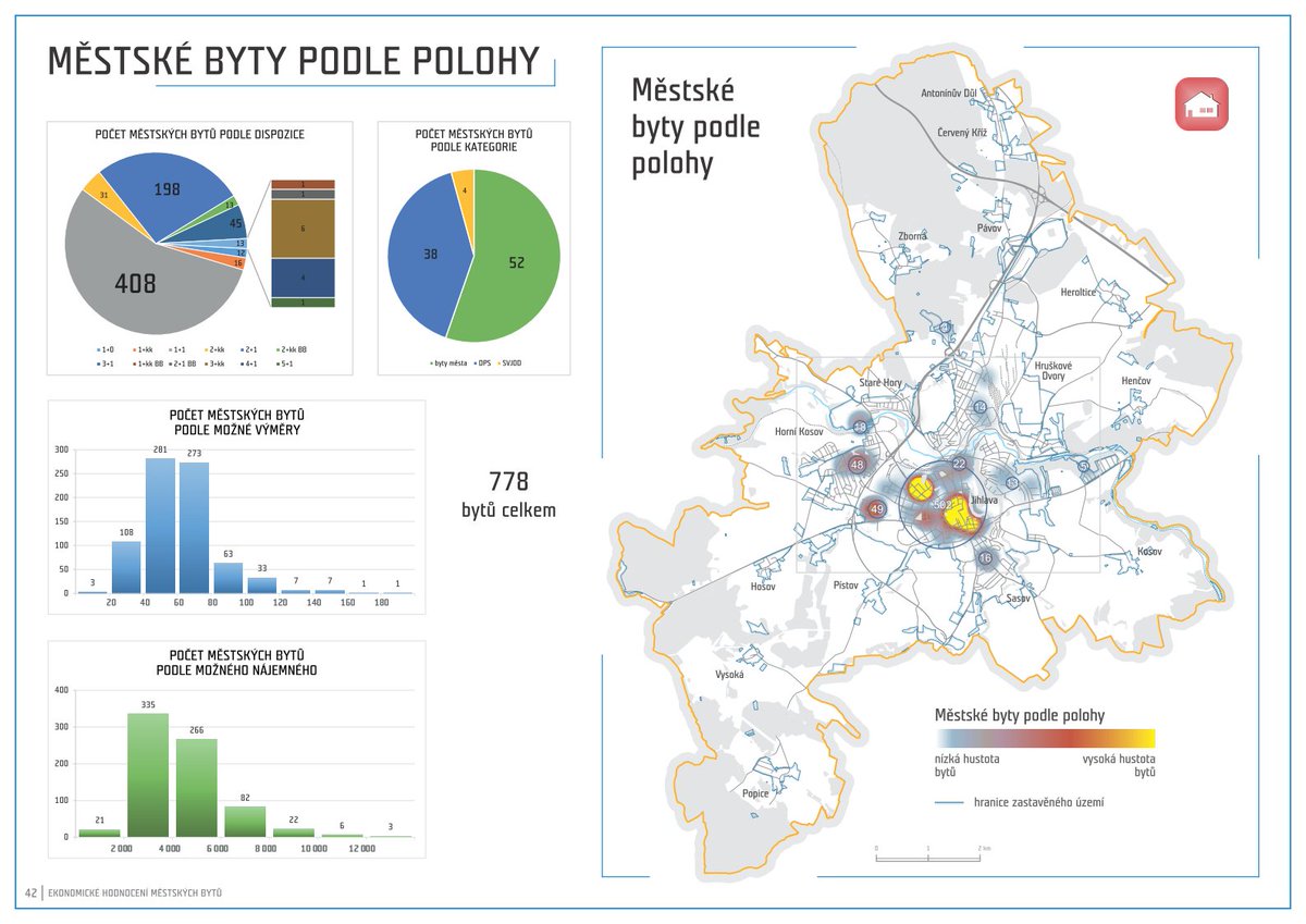
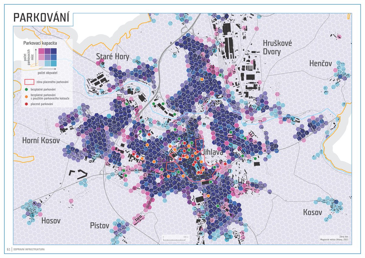
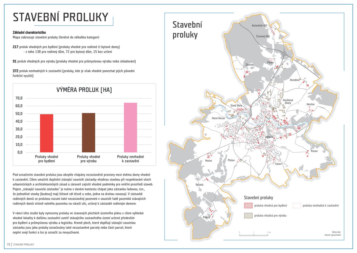
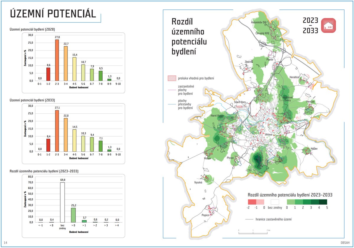
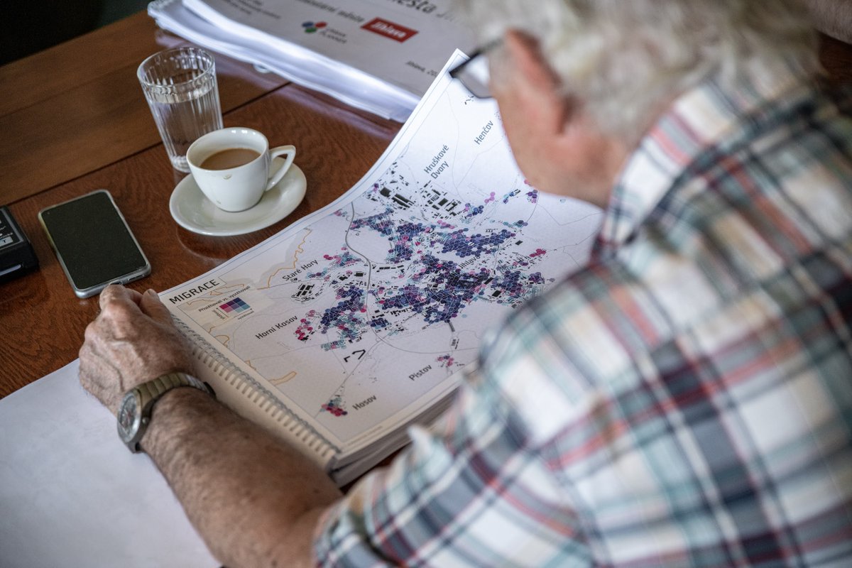
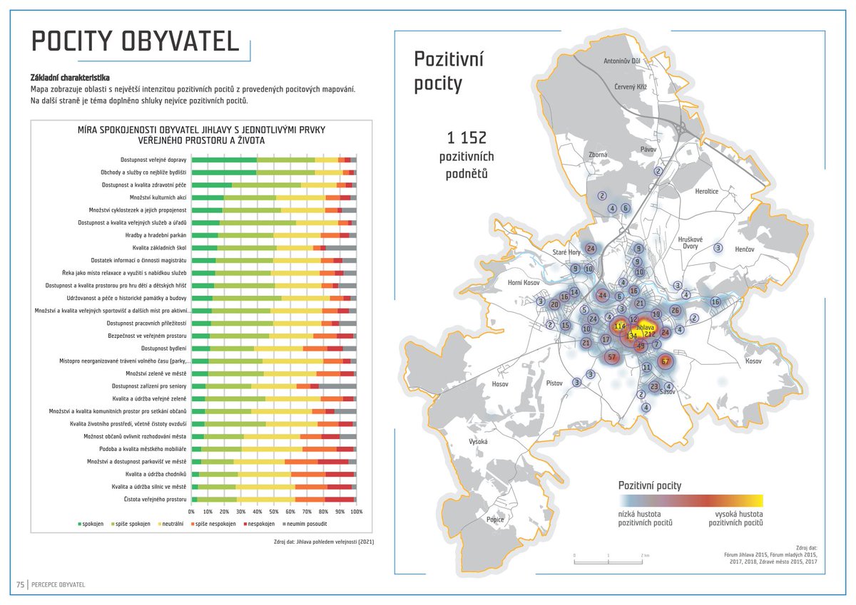
With our team, we took on our biggest challenge yet, the study "Priorities of Spatial Development for the City of Jihlava". As we approach the final stage, we would like to show you what we have been working on for the last year. The samplees are from the analytical part.