Utillix is a digital utility mapping and strike prevention platform used by utility contractors to adhere to safety regulations #safety#utility#digitalutilities
@Utillix are excited to be part of the @Monadelphous/ @HunterWater Wyee sewer upgrade. This successful project is aimed at utility strike avoidance.
Monadelphous- the safe way is the only way. #utilities#safety
https://t.co/WGrE0cfzo1
Come along and learn how Ward Civil is using the Utillix solution as a digital mapping tool to enhance safety and productivity. #safety#utilitymapping https://t.co/dBqTkZ49sw
Scary explosion in a Georgia coffee shop this week caused by a construction crew striking a gas line, another reminder to always excavate and interact safely around pipelines!! #callbeforeyoudig#alabama811#damageprevention https://t.co/AUW5Oo41a6
Machinery operators had the highest fatality rate of 2017. Utillix aims to prevent loss of life and make the invisible visible #safety#utilities#realtime
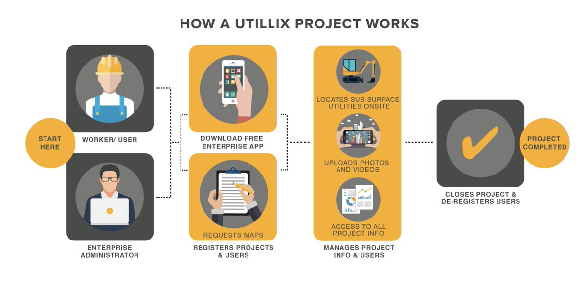
Utillix transfers GIS and PDF utility information into one single source to be shared project wide.
#safety#projectmanagement#DigitalUtilities
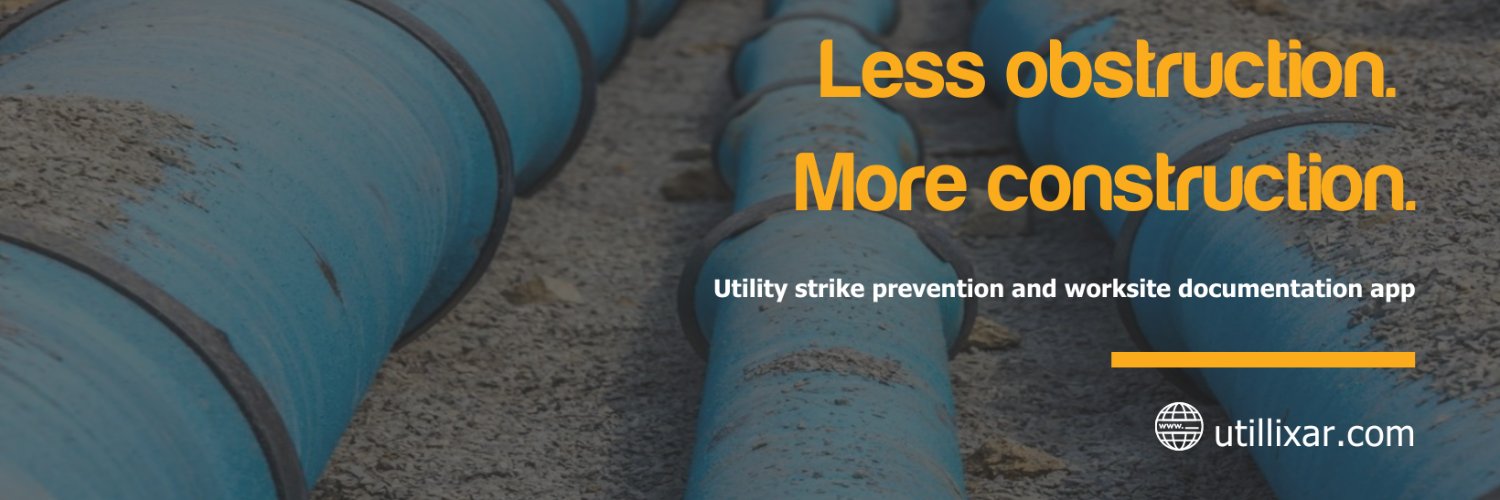
Utillix- Less Obstruction. More Construction.
Construction is one of NSW’s highest risk industries, with thousands of workers injured or even killed each year. The new Building and Construction Sector Plan has been developed to change this. Read it at https://t.co/NR50MljXja or watch https://t.co/stUQCCCe1t
Businesses using @Utillix adhere to the Excavation Code of Practice (2015) by identifying the hazards and controlling the risk of working with utilities. #safety#DigitalUtilities@SafeWork_NSW@safe_work_aus @DBYD1100
https://t.co/kTuDORuTyj
Eliminate the risk of working with utilities. Contact us today for a FREE Trial to digitize your utility maps.
#safety#utilities#mapping#StrikePrevention
https://t.co/z7QjrUiEFM
Never waste time trying to read utility maps. Utillix provides colour-coded maps in realtime using geolocation.
Utillix- Less Obstruction, More Construction. #utilities#safety#constructionworker
Upload drone imagery to create accurate, high-resolution maps accessible on mobile devices in real-time using geolocation. Utillix generates drone aerial insights with our partner @Aerworx https://t.co/R7GFdIdTCT.
Gas leak sparks evacuations, lockdown in Sydney CBD.
Highlights the benefits of the UTILLIX solution to help worker's view utility locations on mobile devices in real-time.
UTILLIX- less obstruction, more construction!
https://t.co/GAFkb7wnT1
Utillix can overlay CAD files on maps to mobile devices.
Convert your CAD designs into the map-based design.
Check out https://t.co/DfQ5Xhckd0 for more information.
UTILLIX transfers GIS and PDF utility information into one single source to be shared project wide. #safety#ProjectMangement#Utilities
Utillix- Less Obstruction. More Construction.