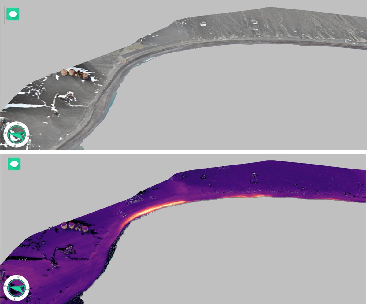
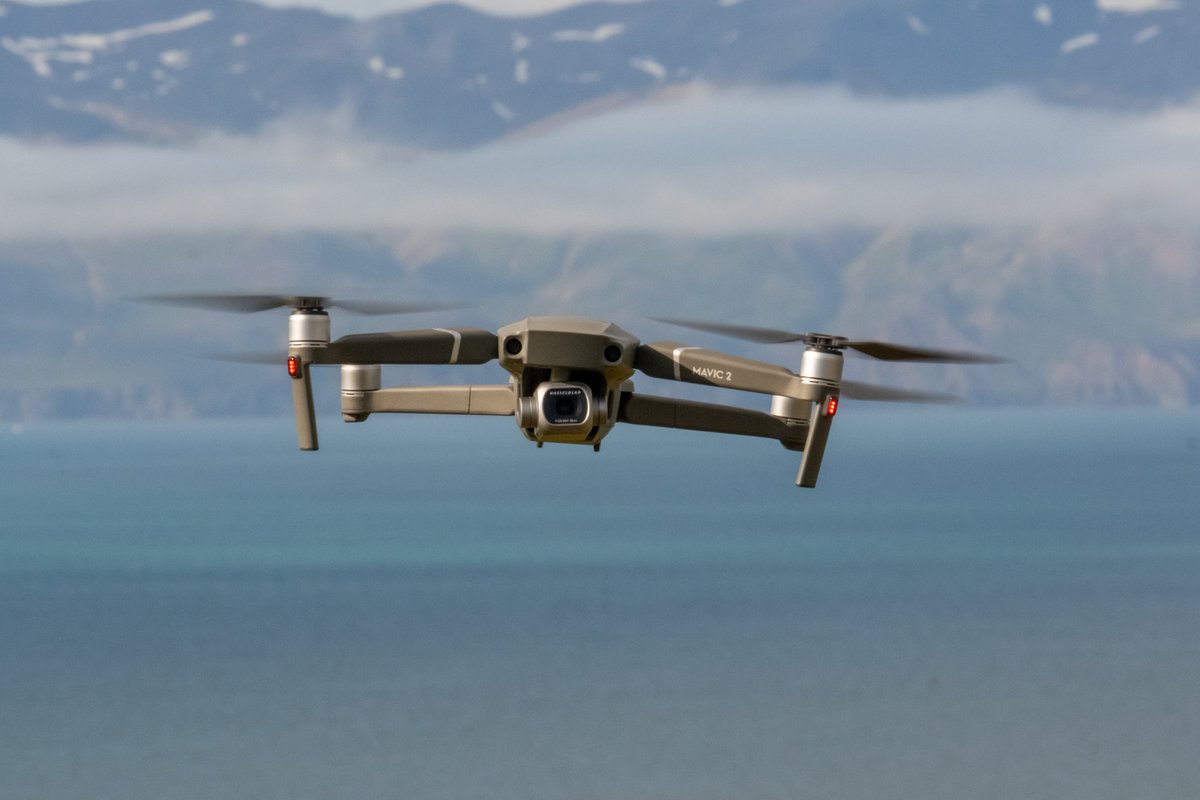
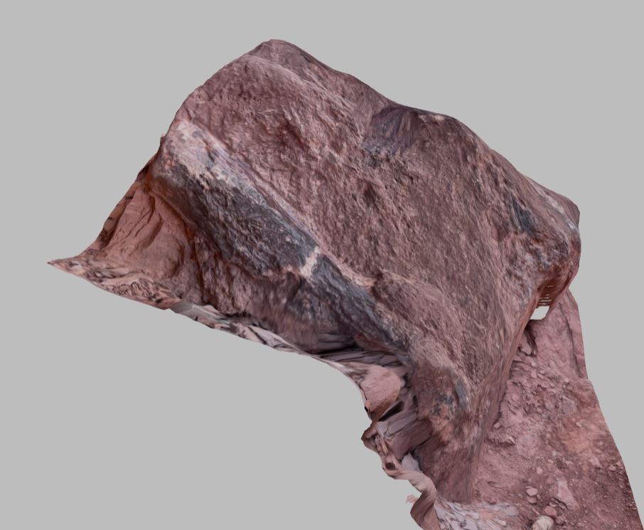
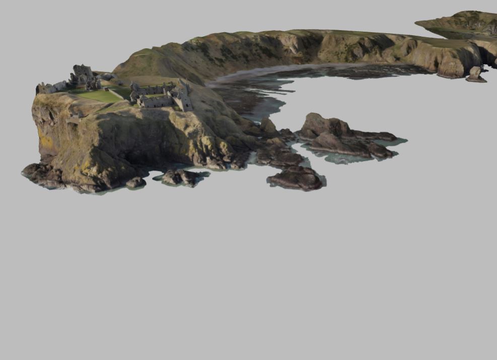
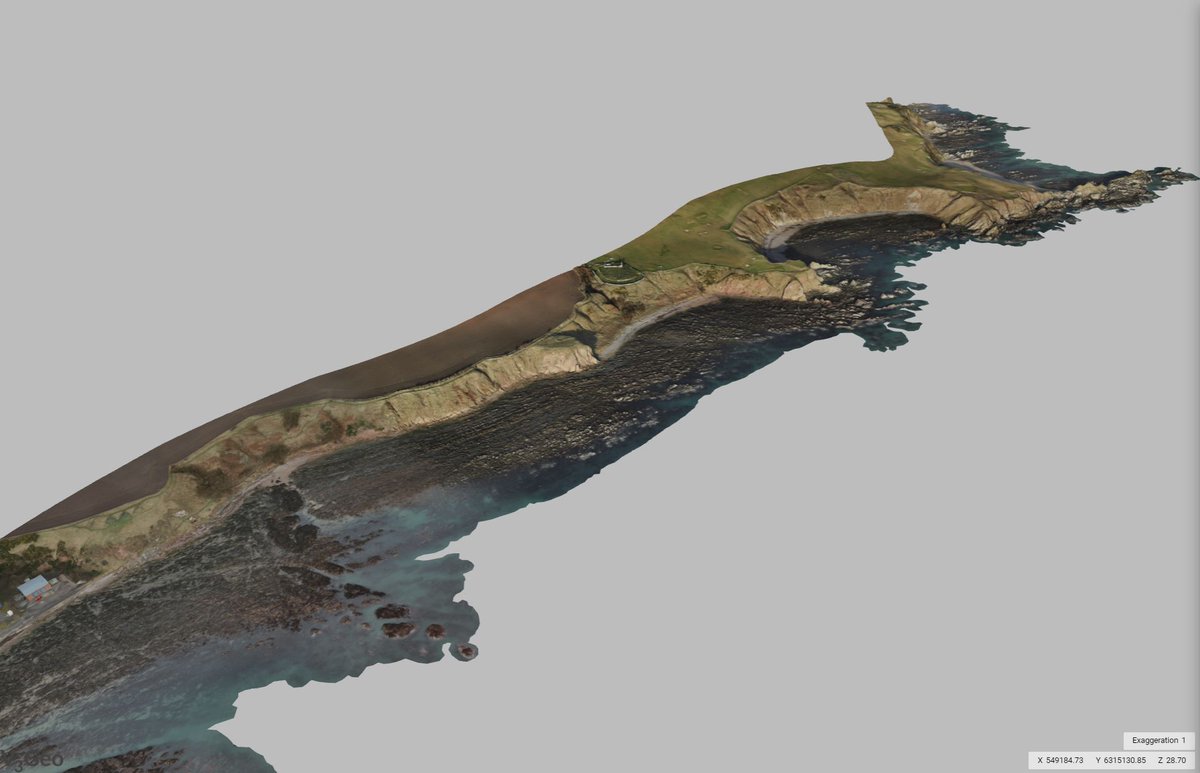
While we were in Antarctica on #DeceptionIsland we took the opportunity to survey the abandoned BAS Base which was destroyed by a #volcano eruption in 1969
The model is at https://t.co/UumKCmJgeY
@UiB_Rotevatn @HurtigrutenEXP @UoAGeosciences@BAS_News
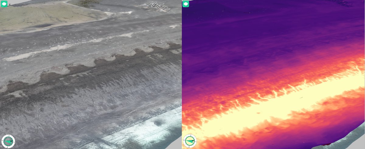
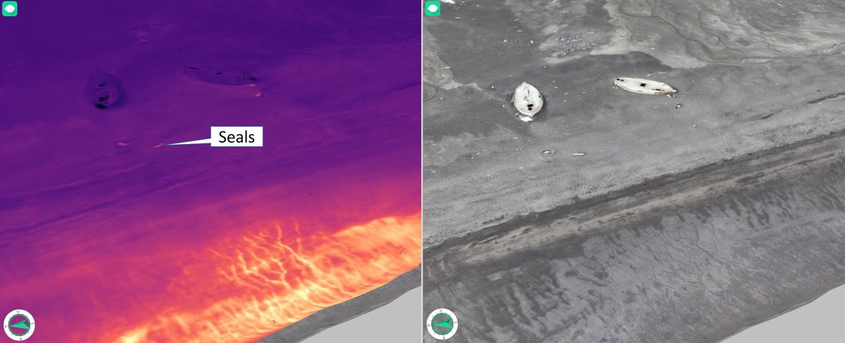
Antarctic Update! Thermal 3D model from hot springs in Whalers Bay on #DeceptionIsland. 50 deg water emerges from a spring line on the beach and runs to the sea. Surveys like this provide a baseline for volcano monitoring. With @UiB_Rotevatn
Check out V3Geo's latest model Neptune's Bellows!⛰️ https://t.co/MtHzgcaoUi
Located on Deception Island in Antarctica, it is situated on the edge of a sunken caldera and served as a port for whalers over the centuries.
The island also holds the largest cemetery in Antarctica!💀
With over 300 models and growing, #V3Geo is the Number 1 source for 3D geoscience data.
You can explore for yourself at https://t.co/62SfOolvS1 or contribute your own 3D models and share them with the community!
@GLaurent_3DGeo Thanks! It's also a good idea to filter out any poor images from the original dataset. Blurred images or those with lower resolutions can harm the sharpness of the model's texture resolution so these should be masked or removed before texturing the model
How to texture a 3D model in #photogrammetry 🖼️
V3Geo receives a wide range of model contributions. One of the most common issues is the model's texturing. Knowing how to utilise the full resolution of your images can be unintuitive.
Here's one trick to improve your texturing:
Thanks #ChatGPT for succinctly describing how to upload a 3D model to #V3Geo.
(The button is actually called 'Create a Model' but I won't judge you too harshly)
#V3Geo is an open database meaning anyone can upload their 3D geoscience models.
Each model is also given a technical review by our team to ensure a standard of high quality.
Check out one of the most recently uploaded models here: https://t.co/b4ExCSvgg4
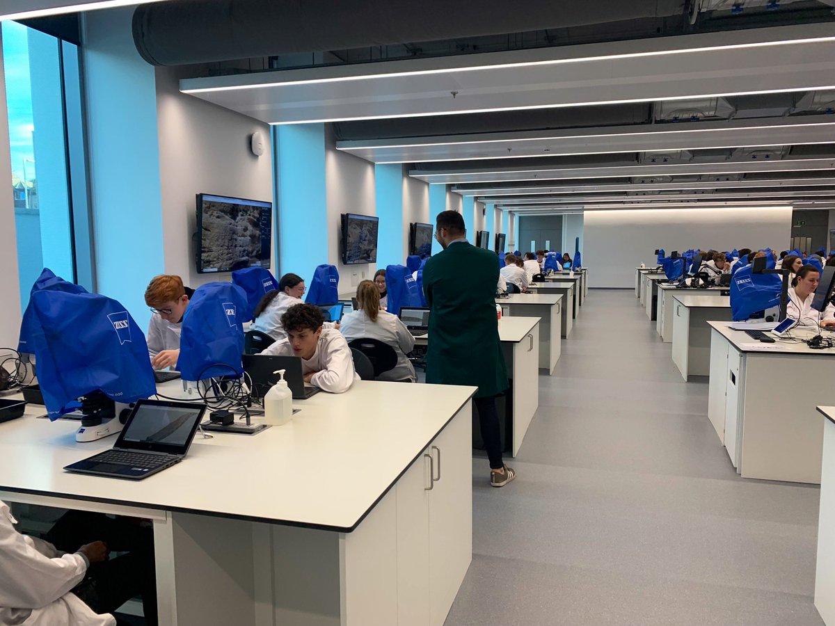
First 2 weeks of virtual field trips for the 1st years. Visiting unconformities & various sedimentary outcrops. Discussing basic geological principles by integrating @v3_geo, photos, schematic diagrams, hand samples & more! 💻🪨 @Harry_S_Johnson@abdngeology@UoAGeosciences
Want to share 3D models and collaborate on data?
1. Upload a model to our sister service @v3_geo https://t.co/YrwOmBPMqc ⛰️
2. Stream the model from the cloud server directly into LIME☁️
3. Visualise, interpret and share your project with other #LIMEsoftware users 😃😃😃
PUBLISHED!
The first open, online + interactive 3D drone model of the cone, lava flows and lava delta from 2021 Volcán de Tajogaite in La Palma by @GeoTenerife in collaboration with @drones4geology for #VolcanoStories is available to view now on @V3_Geo
https://t.co/f1WHjcudp3
@RiverMeetMedusa That's great, we'd be happy to have your models on V3Geo!
DOI functionality is something we will implement in the future. If you upload the models now we will be able to assign them later on once this functionality becomes available.
From the field to the 3D model! ⛰️
Ketobe Knob, Utah has been updated on #V3Geo from an old laser scanned model to one built using new techniques in drone-based photogrammetry.
You can check it out here: https://t.co/Mbmrnjsycu
Update on Ketobe Knob!
The new drone-based model can now be found at https://t.co/rWwbTj9JFE
The older laser scanned model is now available to view at https://t.co/Mbmrnjsycu
Let us know which one you like better!
A solid framework describing how to collect and process very large virtual outcrop models, with the model on #V3Geo to prove the workflow.
Thanks for the model!
🚨 Preprint alert! "A Practical Guide to Virtual Outcrop Photogrammetry in Earth Science" detailing our experience and workflow in producing a large scale, virtual outcrop of Icelandic geology using drones.
Paper:
https://t.co/zQnKMQx2HI
3D Model:
https://t.co/hTzRCxoy8S
Any palaeo people out there who can identify this piece of bone (from the Triassic Chinle Fm in Canyonlands NP) - also super impressed with the iphone lidar
https://t.co/jj2V0tERih
@v3_geo@UoAGeosciences
Gorgeous new virtual outcrop from the #HighlandBoundaryFault at #Stonehaven - https://t.co/qsq8nN96rM. Collected with the #Matrice300@DJIEnterprise. If you like large scale structural and classic Scottish Geology this is one for you
In need of some afternoon reading?
Here's our newly published paper on the capabilities of #V3Geo as a geoscience database and 3D model viewing platform for sharing and communicating data.
https://t.co/0iEs5iJd7e