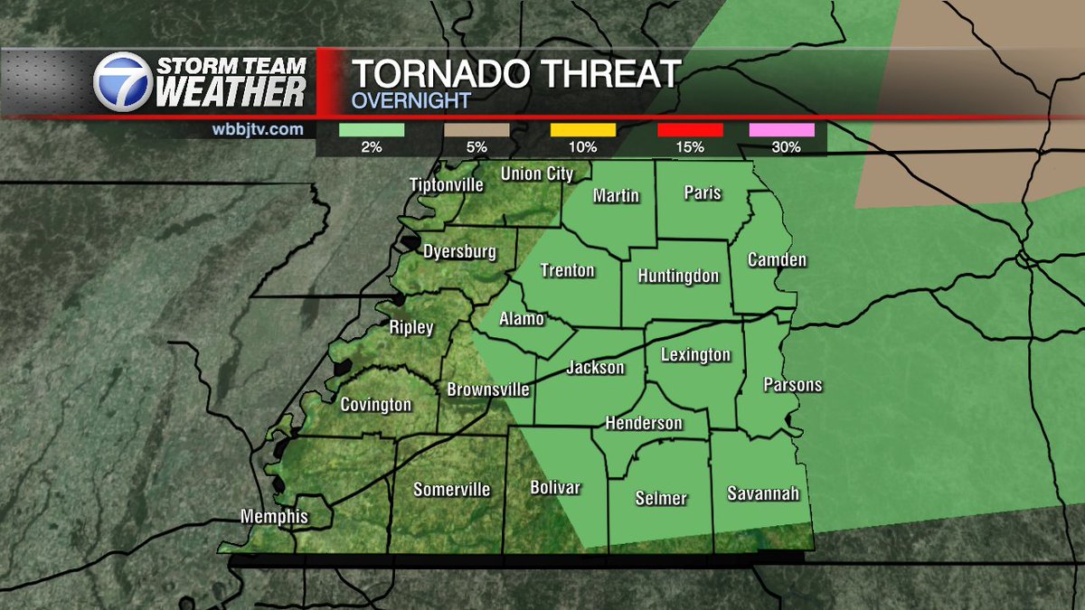
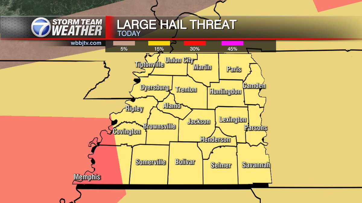
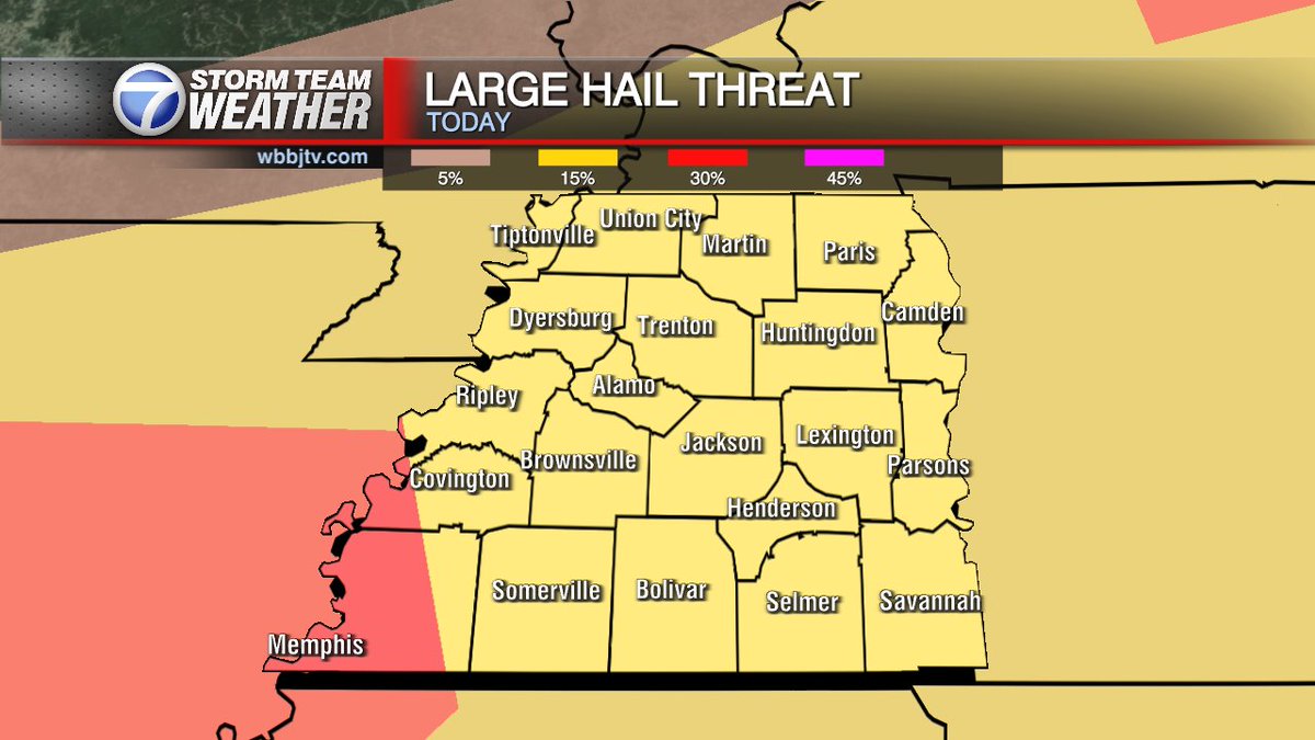
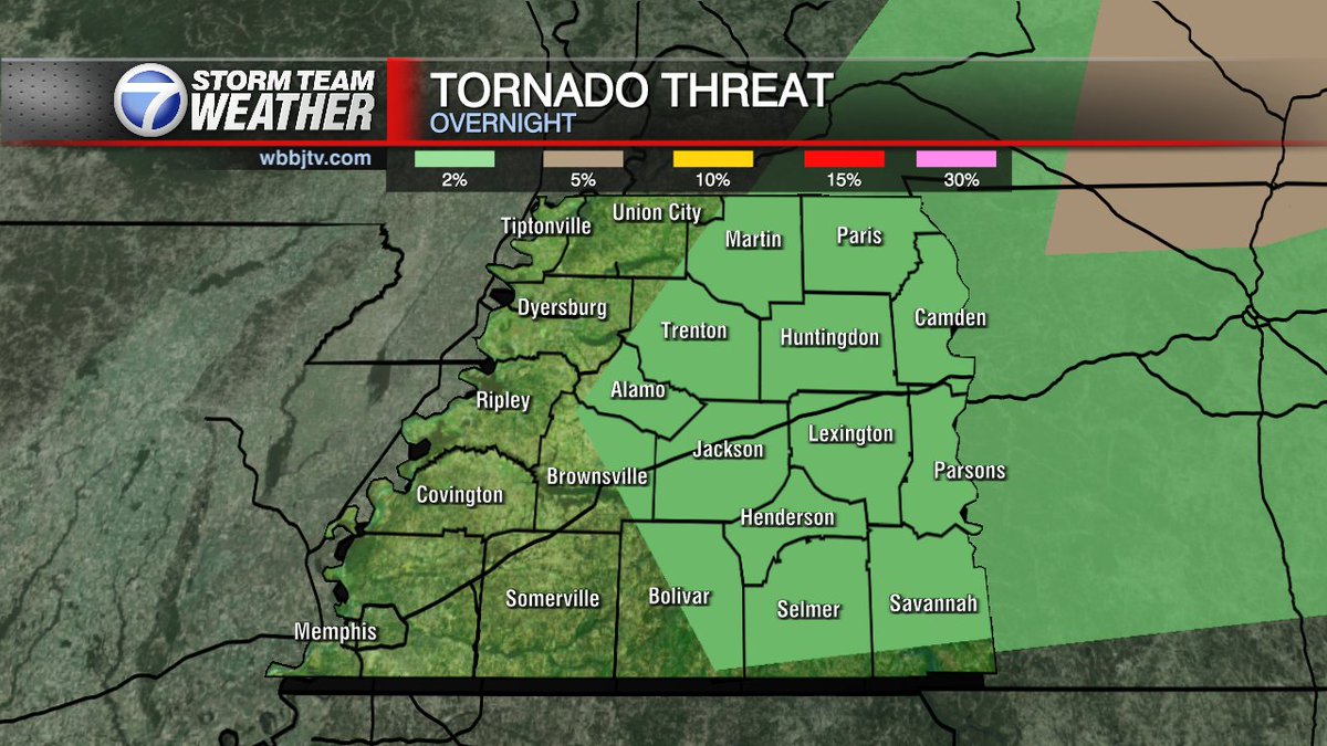
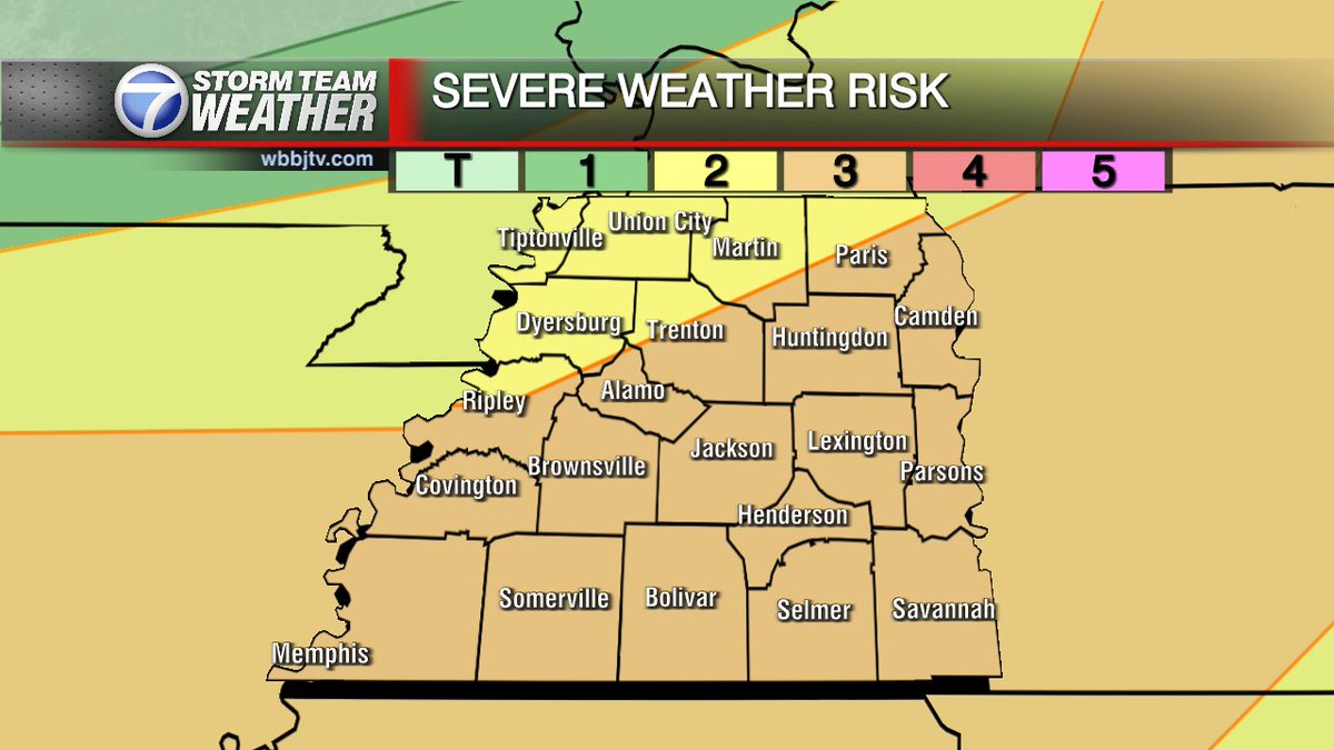
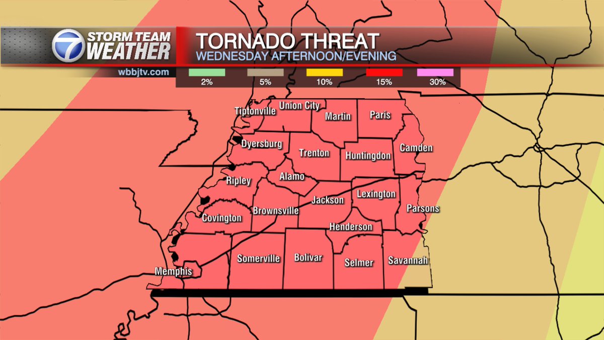
@MeteorologistBrianDavis: An upgrade to ENHANCED RISK (Level 3/5) Storms will develop after 5 pm and move over the Mississippi river into west Tennessee. 5-7 pm West counties. 6-8pm through the central counties. 7-9pm near the TN River.
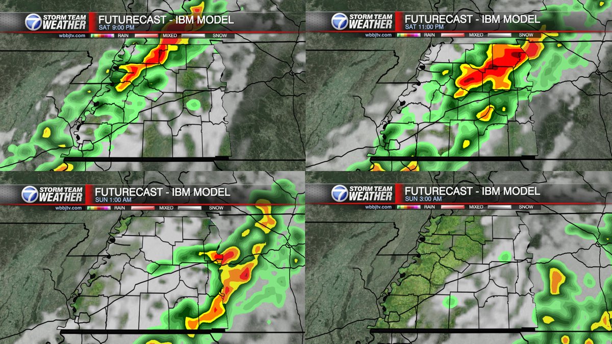
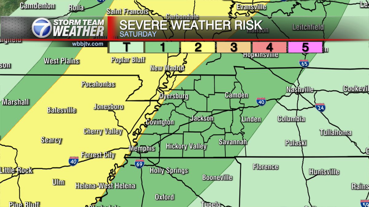
Most of our Saturday looks dry but showers and storms will increase in the late evening with storms likely by tonight. A few storms may become severe so be weather aware. We'll track any storms tonight and join me for updates again this evening at 6 and 10.
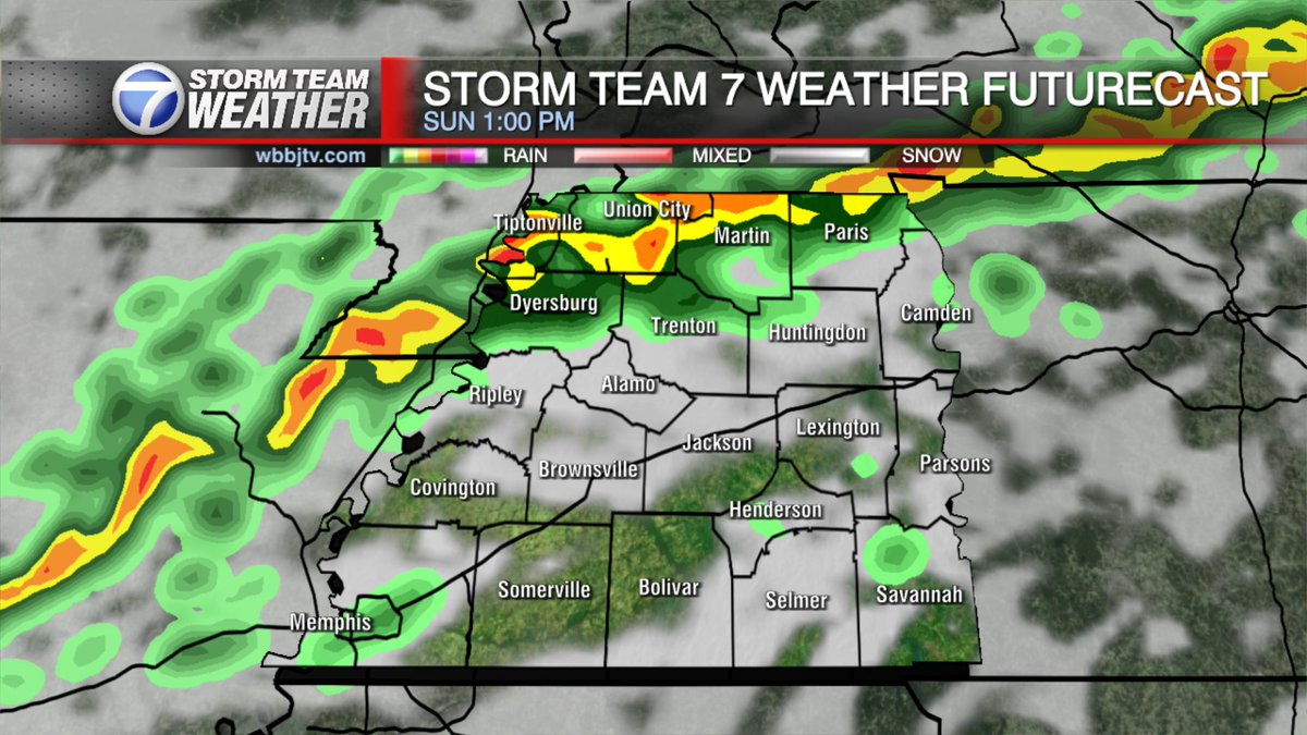
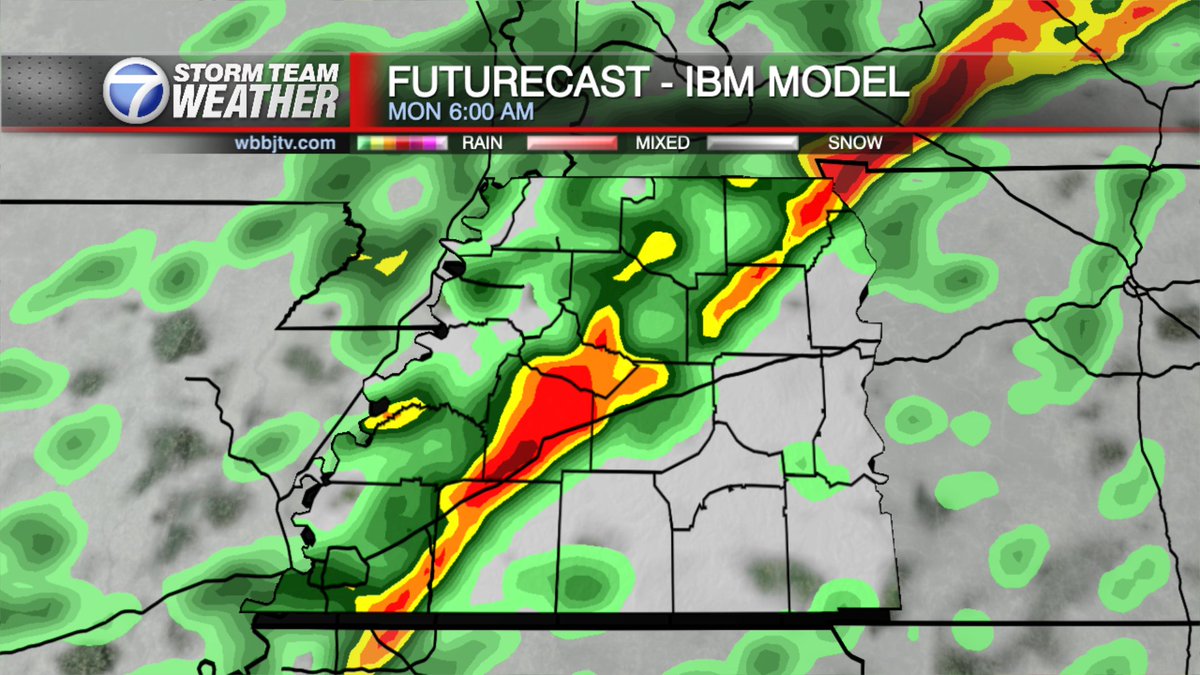
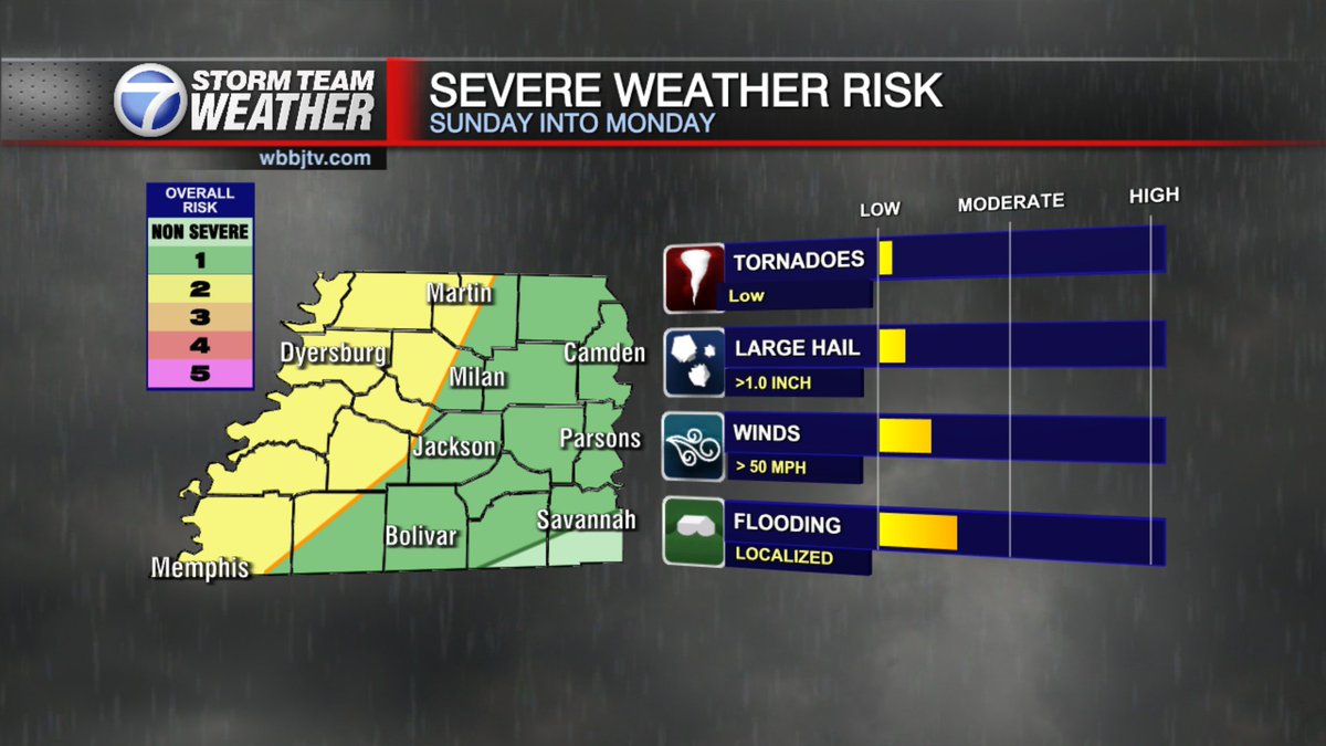
Showers and storms will become likely over northwest Tennessee on Sunday afternoon with more storms late overnight into Monday morning. Stay weather aware.
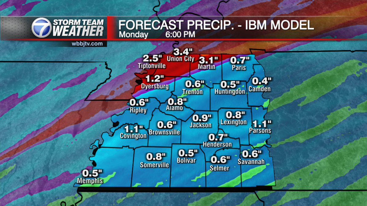
A low end severe weather risk returns Sunday afternoon into Monday morning. Storms in the afternoon over northwest Tennessee may cause flooding in the afternoon. A cold front to bring more storms southward through all of the area by Monday morning.
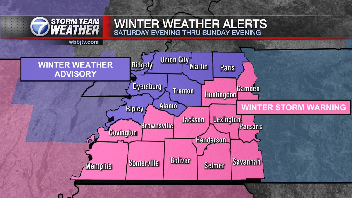
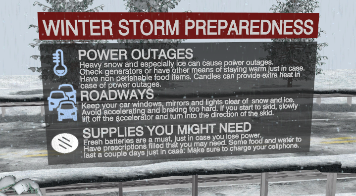
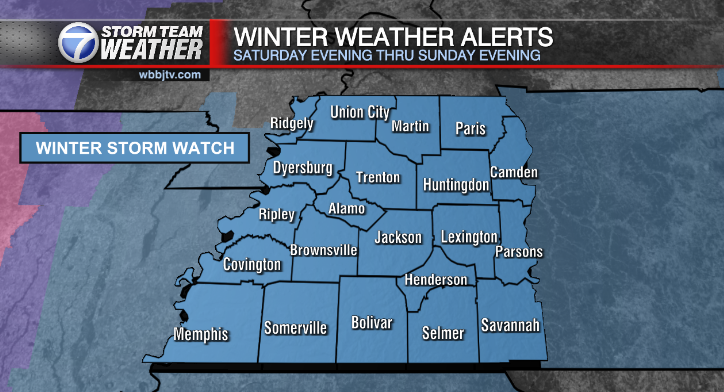
Only a slight adjustment made this morning. We must remember that this storm has potential for large accumulations and for travel for the 3 days or so.