High winds today may cause some power outages or tree damage as winds may gust as high as 50-60 mph. Temperatures rise to around 60 and fall this afternoon. https://t.co/nmyUv67Tse
A band of snow showers will likely impact the Miami Valley this morning. A quick half inch or so of snow may accumulate. Scattered snow showers this afternoon. Windy and cold with wind chills in the teens and 20s. High 32. https://t.co/njKceiAn7c
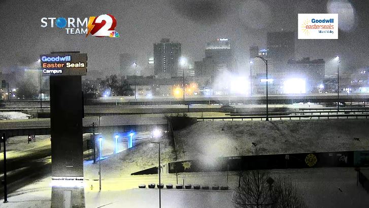
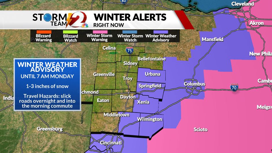
The snow is starting to come to an end in Montgomery County. Showers will continue to move east. The Winter Weather Advisory is until 7 a.m for Warren, Clinton, Greene, Clark, and Champaign County. Be prepared for slick roads during the morning commute.
https://t.co/2LaUA2GxKP
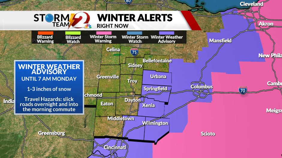
Greene, Clark, Champaign, and Warren County have been added to the Winter Weather Advisory. Travel conditions will be slick into the Monday morning commute with 1-3 inches of snow. #ohwx#daywx
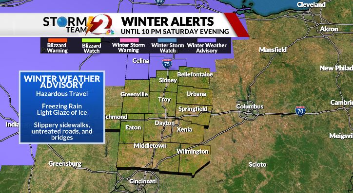
UPDATE: In Ohio Montgomery, Preble, Darke, Miami, Clark, Champaign, Shelby, and Logan County have been added to the Winter Weather Advisory for Icy conditions tonight until 10 pm. Wayne County in Indiana is also added to the list. #ohwx#daywx
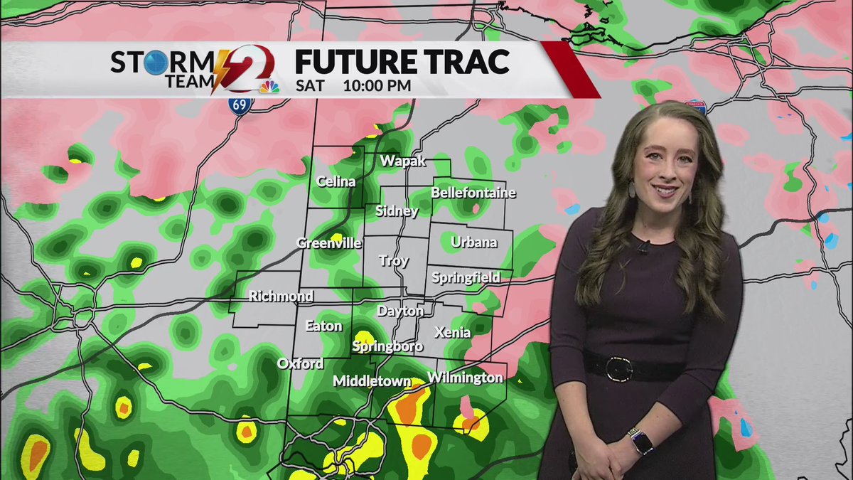
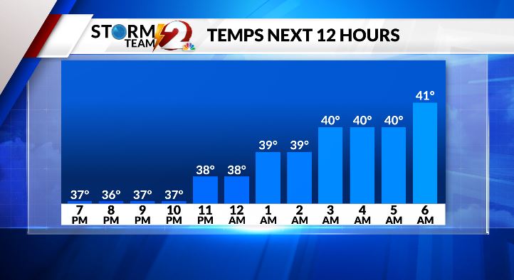
Temperatures will warm into the 40s overnight. The Miami Valley should be dealing with rain showers by 10 pm. Before 10 pm freezing rain is likely for areas north of U.S. 36 and possible for areas north of I-70.
https://t.co/YMgrHQkrcR
2021 will rank among the top 10 warmest years in Dayton. December helped with an average temperature 8 degrees warmer than normal. It was the second warmest December on record. #ohwx#daywx https://t.co/XQigMeGBeY
Dec. 7 was the last time we saw a low reach 19 degrees. Winter is back after a very mild December. The average temperature last month was 8 degrees above normal and ranked as the 2nd warmest December on record.
https://t.co/Yd5FaxFSU3
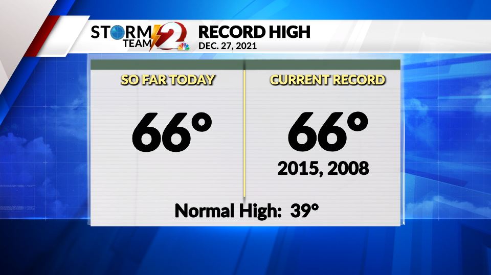
The record high has been tied in Dayton! Today also ties the record for the most December days with max temperatures at or above 60 degrees. What a warm December. #daywx#ohwx
Monday will be another warm December day with a chance of thunderstorms. #ohwx#daywx
Watch the Storm Team 2 Forecast for the timeline: https://t.co/SO6vHVFx08
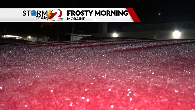
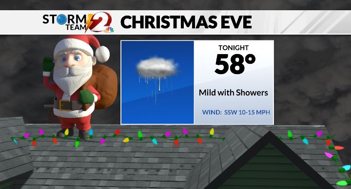
It's cold today. Temperatures are in the upper 20s as you head out the door. The wind chill is in the teens. The high is just 32 degrees. A warming trend is on the way for Christmas. #ohwx#daywx https://t.co/gcw9gBVAA4
Ohio has recorded six tornadoes in the month of December since 1950. While December tornadoes are rare, it is important to remember that tornadoes can happen anytime. #ohwx#daywx
https://t.co/WIxV0AXEpl
The workweek will start off mostly sunny and dry thanks to high pressure. The second half of the week will become unsettled with a chance of rain. #ohwx#daywx
Watch the Storm Team 2 Forecast now: https://t.co/Vilk0NbP6m
The peak wind gust in Dayton was 52 mph on Saturday. The wind will become less gusty tonight. The breeze will drop the wind chill into the lower 20s. Sunshine returns tomorrow for a chilly but nice Sunday. #ohwx#daywx
https://t.co/EnLR2fmpyL
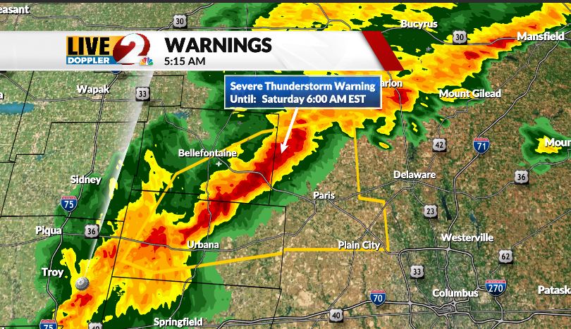
A line of storms remains strong across Logan and Champaign County. A new Severe Thunderstorm Warning was issued for the region until 6 AM. Damaging wind gusts up to 60 mph may impact trees and power lines.
https://t.co/lxlpZ7Pkag