Spectrum sales agent. Former weekend meteorologist for KATV in Little Rock, AR. AMS Certified. Graduated from FSU class of 06' and practicing Catholic.
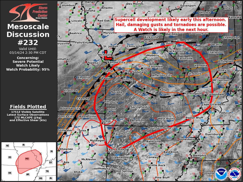
Another Monday, another chance of severe weather. This one looks more plausible than the one we had earlier this week, but it also looks more like most of it will stay in Oklahoma and Missouri. Still, all threats are possible with wind, hail, and possibly a tornado.
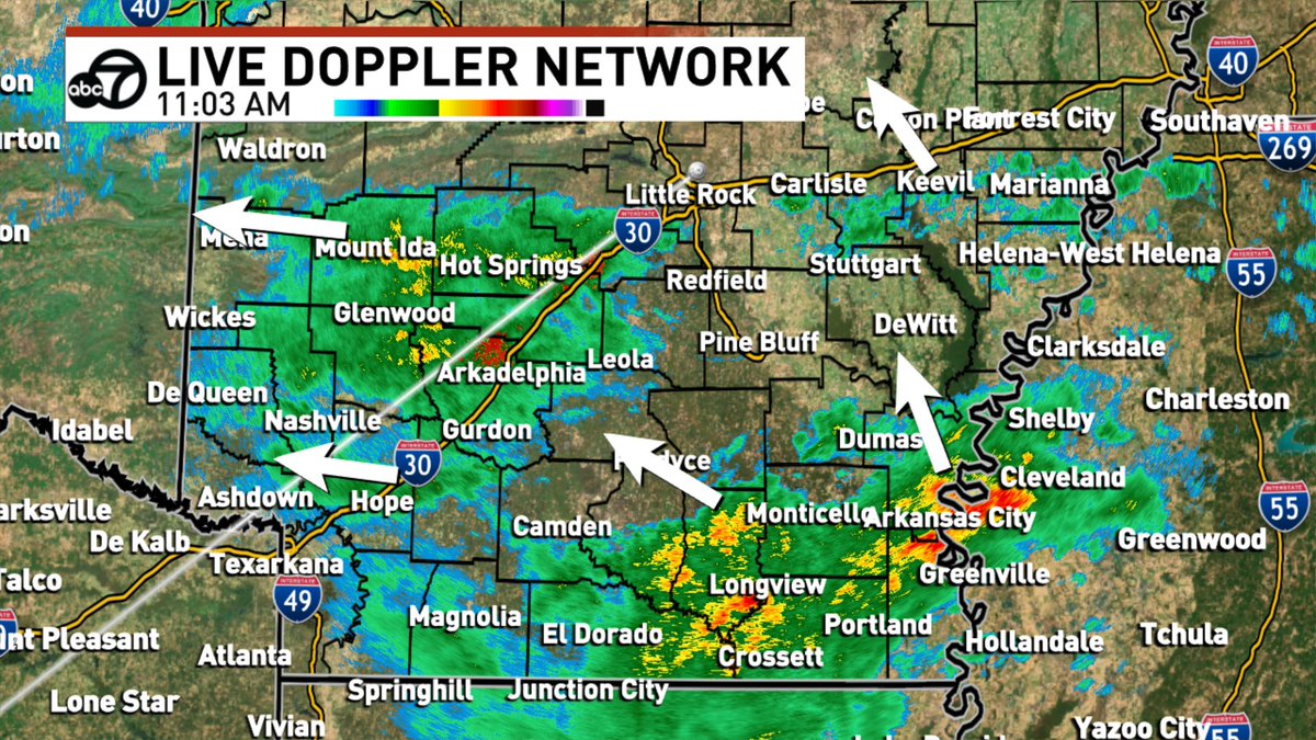
Widespread showers and a few non-severe storms are heading gradually eastward this afternoon towards Little Rock. Expect 1-3 inches of rain before the end of the day.
The line of storms in Oklahoma is heading our way and is expected to bring heavy rain, gusty wind, and possibly and isolated tornado to the Natural State tomorrow. It'll enter western Arkansas before sunrise and move across the state throughout the day.
Showers are draped across most of the southern half of the state and circling around a low pressure system in northeast Texas. It's going to be a wet day.
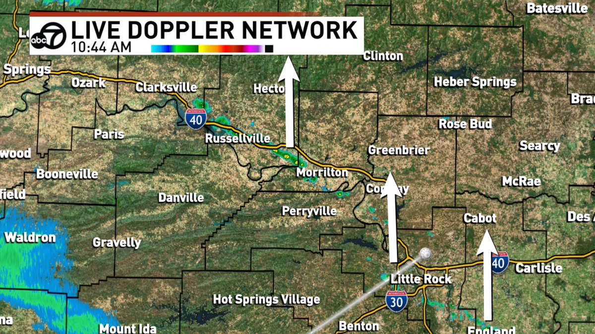
We have a few showers and storms forming north of Little Rock this afternoon ahead of our next cold front. No severe weather is expected and the activity will start winding down after sunset.
Showers and a few non-severe storms are expected this evening across northern Arkansas. They should only last a few hours before falling apart as the air cools.
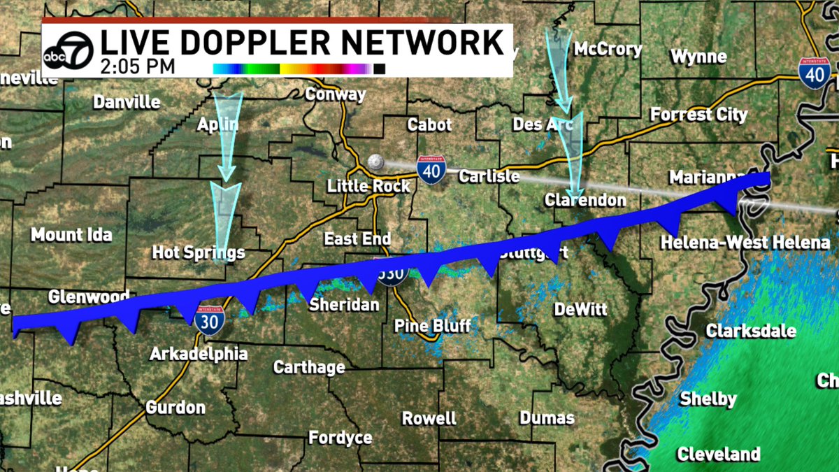
The cold front is finally clearing out the rest of our rain potential as it gradually moves south across Arkansas. We've also confirmed that the tornado in Hot Springs Village was an EF-2.
The storm that is most likely to produce a tornado is just southeast of Norman heading almost due east closer to Mazarn. No tornado yet, but we're watching it closely.
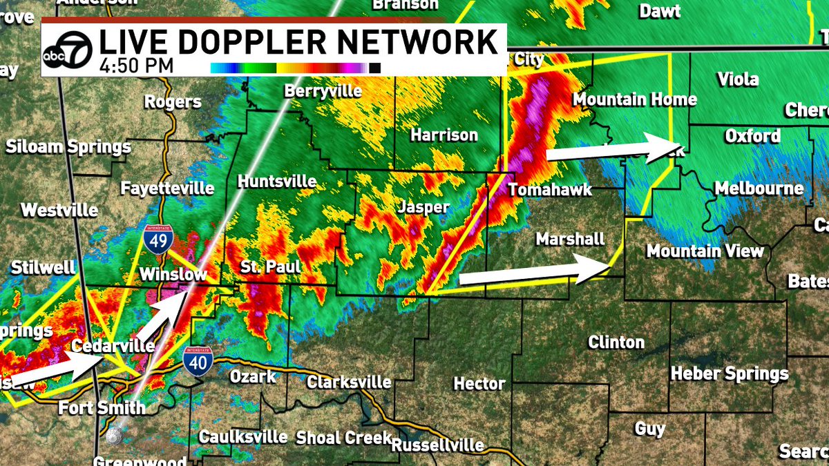
A new little squall line of storms has managed to form on the leading edge of this main cluster that includes Searcy county. Main threats are wind gusts to 60mph and quarter-size hail.