Extreme weather photojournalist and disaster survival expert. Media consultant - severe weather personality / spokesperson. Volunteer Tactical EMT when needed.
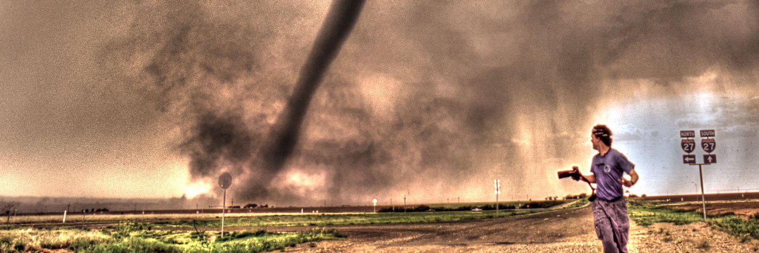
@lorigraceaz Yes, the photo on the left was near Miami, TX in 1994. They added Bill and Helen.
I kind of wish they would have given another photographer a shot at the new movie poster with a real image. Campo comes to mind.
@iCyclone Was photographing a fire at an apartment complex following the earthquake, when a volunteer fire truck showed up with only one firefighter. He left me with a charged hose and a helmet and said "have fun." Best time ever. Fought the fire until my arms gave out.
Working the insane storm surge during it's peak near Vanderbilt Beach, FL. The current was so strong, I was not able to move very far from the building. A small wave suddenly triggered my life vest, scaring me worse than the water. #hurricaneian#fortmyers#vanderbiltbeach
Brief clip of extreme storm surge advancing in Vanderbilt Beach, FL. As noted before, this was a quick and powerful surge, likely due to the relatively shallow Gulf floor in this region. I won't likely work again in a similar, violent, surge set-up. #HurricaneIan#stormsurge
Finally starting to dry out. My arm / hand has recovered but sore and bruised. Here is a low quality screen grab of the surge wave that hit me. Got some insane footage. Back to AZ tomorrow to cover poss. flooding there. #Hurricane#Ida
Wild day. Spent the last two hours before sunset shooting in the storm surge near Waveland, MS until I became hypothermic, beat by waves and could not keep the camera still. Destroyed one camera. Pics soon. #HurricaneIda
MS coast now taking a pounding. I’ve always dreamed of a hurricane that would drain all the batteries, memory cards and kick my ass! This may be it!! #HurricaneIda
Keeping a close watch on SVR storms lining up near TUS. If the line can remain intact as it moves w/nw we could have a dust / haboob situation in the classic Eloy, Casa Grande regions. #azwx#monsoon
Hi Everyone. I just realized I have two Twitter accounts, so I'm consolidating this one over to the main one. The new one is https://t.co/koejowNmzC
Please follow me via the revised link.
Thanks!
Warren
#Tropical#Storm#Bertha will move inland today just south of Charleston. The biggest danger will be heavy rain fall and flooding. The NOAA has predicted a busy tropical season and this is the second named storm and it's still May!
I have updated our private storm chasing expeditions schedule for next year. Good dates are still available. We offer free rescheduling so you don't get burned chasing on non-storm days. (Picture - Colorado landspout). See https://t.co/JPu6wsCGBa