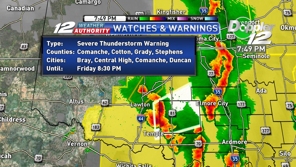
Severe T-Storm WARNING for Stephens County until 8:30pm. This storm is moving NE at 55mph near Corum and could produce 60mph winds and quarter size hail.
UPDATE: The Storm Prediction Center has updated the severe risk area for tomorrow and they have shifted the slight and enhanced risk spots to the west, so now all of Texoma is under a slight risk and eastern half under enhanced.
Tomorrow will be a weather alert day as we will have a threat for strong to severe t-storms in the afternoon to late night hours. From Pontotoc down to Grayson counties and east.
After Saturday Afternoon's Heat in the upper 80s and low 90s ... Today's cooling downpours is a welcome treat, keeping temperatures capped in the upper 70s and low 80s. Spring Showers will continue into next week. #okwx#txwx#texomawx#laketexoma
Montague county is now included in an ice storm warning until midnight. Ice accumulations are possible, up to a half inch. Drive cautiously and stay tuned to KXII for updates.
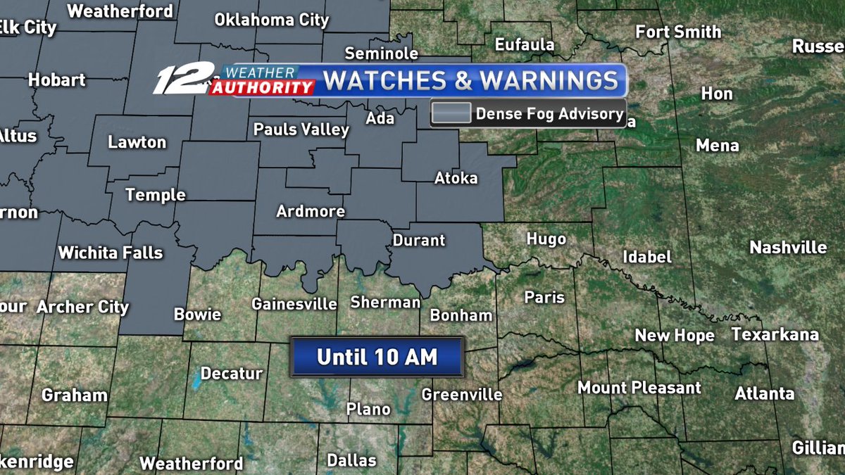
More counties now added under the dense fog advisory. Now most of our S OK counties are under a dense fog advisory until 10am. Visibility in some areas are less than a mile!
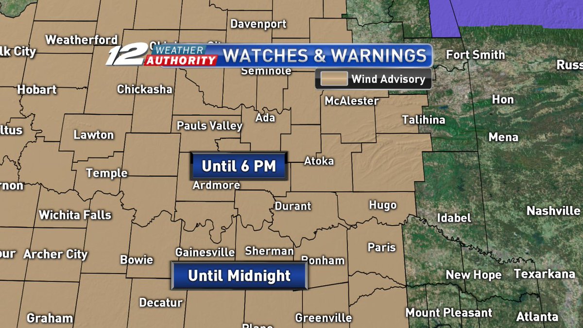
The winter weather advisory for Montague, Cooke, and Grayson counties has been lifted early. Now just the wind advisory as gusts reach over 30mph from the north. S OK expires at 6pm, and N TX expires at midnight.
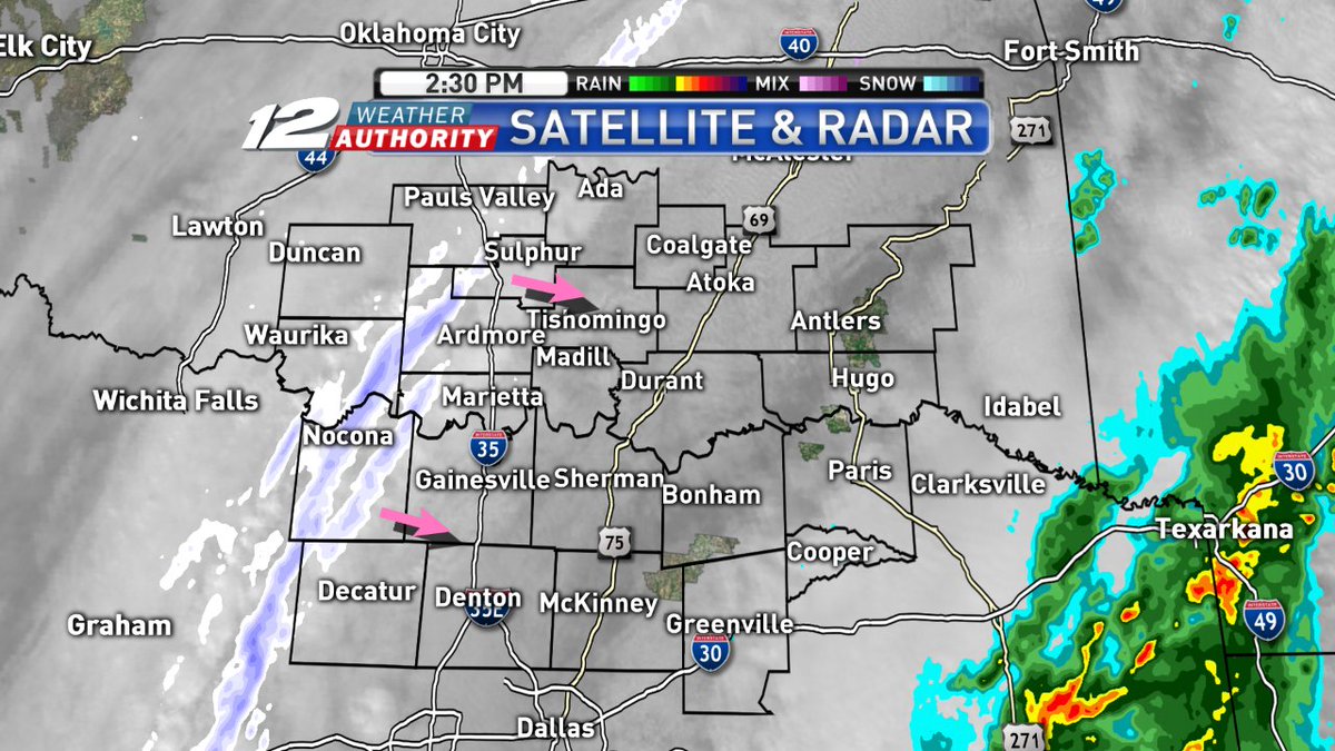
Radar at 2:30pm shows a light snow band right now moving ESE through Montague, Carter, and Garvin counties. Watch for some slick spots and be cautious on bridges and overpasses.