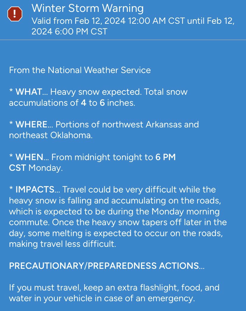
**Winter Storm Warning** Snow begins in NWA around noon Tues. Snow picks up throughout the afternoon/evening, ending early morning hours Wed. 5”-6” will be common, with higher accumulations in northern areas of NWA. Temps will be very cold as well. Be advised and have a plan.
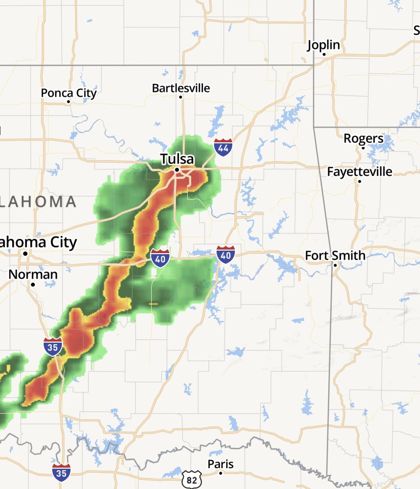
Storms have fired up to our west & will impact NWA after 9pm, lasting thru the night. Heavy rain, high winds (40-60mph), and possible tornadoes (south of NWA) are expected. Timing is 9pm-5am. I’ll be tracking throughout the night to keep you and your family safe!
Here we go again. High chance of potentially dangerous storms in NWA later this afternoon into the evening. Timing is 5pm-10pm. Large hail and tornadoes with these individual cells is primary threat. I’ll keep you updated throughout the day. Don’t be scared. Be prepared!
It will be an active overnight across NWA as we are expecting storms to roll thru between 10pm-3am. Damaging winds and tornadoes are main threats. Be weather aware when you go to bed tonight.
Watching severe weather development this evening across NWA. All modes of severe weather are possible: heavy rain, tornadoes, large hail, and high winds. Timing is 7pm-midnight. Be weather aware!
Eyes are to the west watching storms develop over Oklahoma and head towards Arkansas. Large hail, high winds, and heavy rain are expected. Timing is 3pm-8pm.
It’s beautiful now, but warm temps this time of the year means one thing….storms are a com’in! Development begins in OK as we get into the early evening & make their way into NWA after 8pm. High winds, hail, & heavy rain are expected. Storms should be out of the area by 4am.
Watching very closely the weather for overnight in NWA. There is the potential for very strong storms to develop. More details and timing later today. Just know the atmosphere is ripe and the weather is churning. ⛈️🌪️
Multiple rounds of heavy rain and thunderstorms are on their way to NWA. 2-4 inches of rain is expected across the area thru noon Friday. Be careful out there folks!
Storms are building to our west in OK and will impact NWA from 10pm-1am. High winds, hail, and tornados are possible with these storms. Know your emergency plan and be prepared. I’ll keep you posted.
48 hr forecast…Tricky, but here’s what i’m thinking. Thursday is easy, partly sunny, dry, high of 55. Friday will be a different story though. SNOW IS EXPECTED! It will be a heavy, wet snow. 2-3” is possible. Not a good day to be out. Enjoy tomorrow…’cause Friday is coming.
After looking at the latest models, here’s my accurate & dependable storm prediction forecast: It’s gonna ❄️ and it’s gonna ❄️ A LOT!!! 6”- 8” will be common over NWA. Road conditions will deteriorate late this afternoon into the evening as the system moves into NWA. Stay safe!