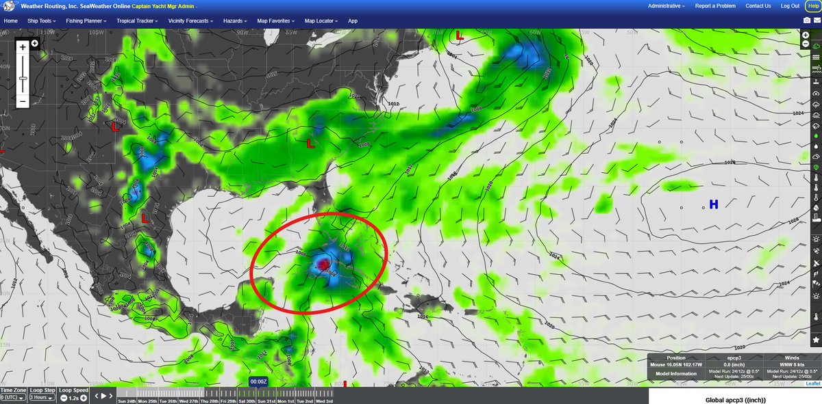
Tropical Storm Amanda positioned far SW of the S'rn Baja is the first named system for the 2026 E'rn Pacific hurricane season. We're also monitoring potential further development offshore S'rn central America. Have a trip coming up and concerned about tropics? Give us a shout!
Attention (2 of 2): If you try calling during this period and are not able to reach us, please try sending an urgent email, or calling our temporary alternate phone number at +1.518.796.6273.
Attention (1 of 2): Our phone service provider has advised they will be conducting planned maintenance between 0400UTC – 1200UTC on 28 May. During this period, our phone lines may temporarily be down.
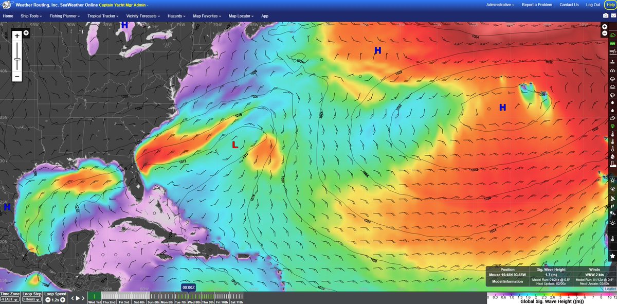
Atlantic hurricane season is right around the corner on June 01st and there are indications of tropics potentially becoming active at the end of the month that could shift to the Bahamas. Confidence remains very low at this stage and will be closely monitored in the coming days.
As summer approaches, N'ward East Coast voyages are starting up again. Contact WRI for forecasting and routing assistance, as well as more information on our SeaWeather online tool today!
Hoist your sails for Summer Sailstice—an annual celebration connecting sailors across the globe on the longest day of the year! WRI is a proud sponsor of this event. Learn more at https://t.co/iUjhMkOOAu
Check out our latest newsletter! Jeremy Davis announces WRI's new lightning detection warnings and Alex Glasser discusses the best routing strategies for springtime trans-Atlantic crossings to the Mediterranean.
https://t.co/7OAKdmzADl
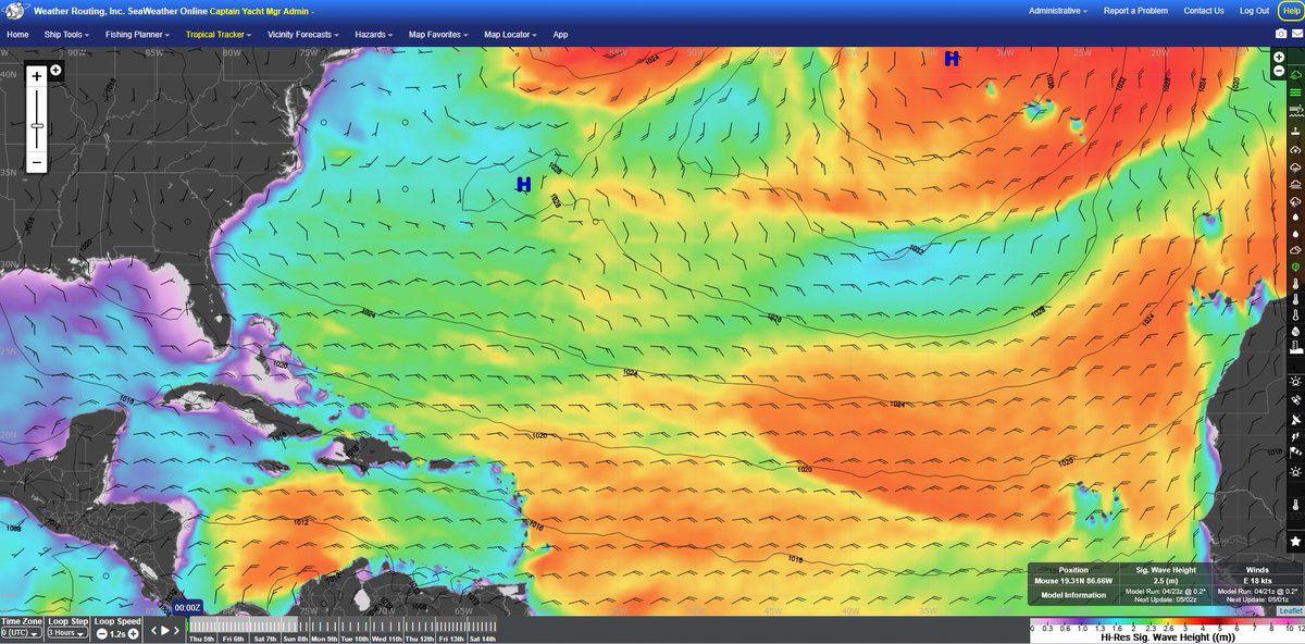
As many vessels make their way E'ward to the Mediterranean, the weather pattern is likely to involve a meandering gale over the E'rn Atlantic in the coming days. Contact WRI for a forecast today!
As we monitor the long-range pattern, the Florida/Bahamas region is likely to see a strong frontal passage with a low to develop NE of the Bahamas around the 07th-08th. A strong NE surge through the 10th along with concentrated squalls are expected. Contact us for a forecast!
S'rn Florida and the Bahamas will see frequent showers/squalls over the next several days, as a stationary front over the region eventually meets with an E'ward tracking front on Monday afternoon/evening. Troughing is likely to develop over the region near the 18th/19th.
As we near closer to the busier Atlantic cruising months, now is a great time to start looking into weather services for your next voyage! Contact us for more info regarding our customized forecast services, https://t.co/sxWbh7rwky, complimentary heavy weather alerts, and more!
The Antilles and Bahamas will continue to see a persistent and strong trade pattern likely over the next week. This is making it a challenge for vessels routing through this broad region, especially heading E'ward with strong head conditions. Contact WRI for a forecast.
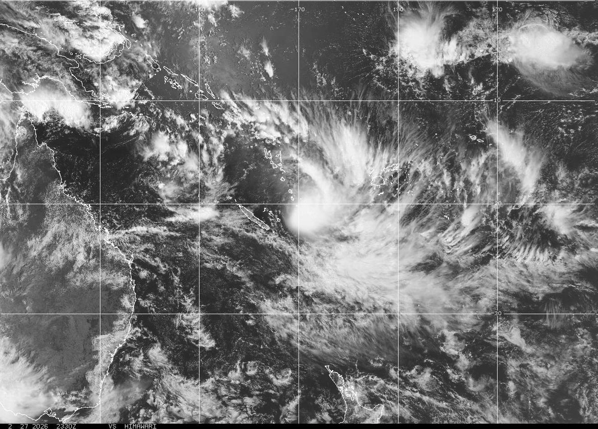
Tropical Cyclone 23P in the SW Pacific positions in a favorable environment for further strengthening over the next day or so though given its likely SE'ward track, intensification will be short lived. Contact WRI for more information and learn about our daily tropical summaries!
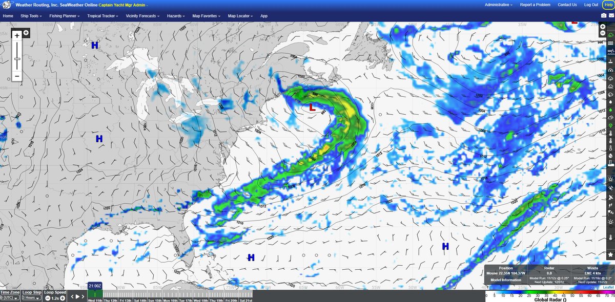
The Northeast is preparing for a major winter storm this weekend to bring significant snowfall amounts from the Delmarva to New Jersey and to S'rn New England. A blizzard warning is currently in effect for these regions due to the expected strong winds and heavy snowfall rates.
Take a peak at February's newsletter! Meteorologist Jared Young summarizes the FL cold air outbreak and potential impacts to tropics. As trans-Atlantic season is near, meteorologist Kyle Petroziello discusses how you can save with our discounted packages. https://t.co/7OAKdmzADl
What's the weather like near you? It's a light snow day here in Upstate New York! Whatever latitudes you sail at, we've got a weather forecast for you. Contact us today to schedule services!
Another round of cold air will impact the SE'rn US as a front will pass over Florida throughout tomorrow, bringing NW'ly breezes as ridging follows behind to keep high temperatures in the 50's over the next couple of days.
If you haven't already, check out this month's newsletter! Meteorologists Kyle and Alex discuss the 2025 Atlantic hurricane season and how our climatology studies can help you plan for the year ahead.
https://t.co/7OAKdmzADl
Low pressure will develop offshore the Carolinas to extend a cold front across central Florida by Saturday afternoon, with a strong high pressure ridge to follow behind. This will result in a major arctic cold outbreak for much of Florida this weekend and into Monday.