Delivering reliable weather sources with a focus on Cyclones(Hurricanes). Hobby weather fan, not a pro. 100% weather data & information to help those seeking it
@lospilares11 Need something to turn it. Hilary went between a High and Low pressure: “Hilary turned north-northwestward and accelerated on 19–20 August within the flow between a subtropical ridge over the southern US and a cutoff mid- to upper-level low offshore of the coast of California.”
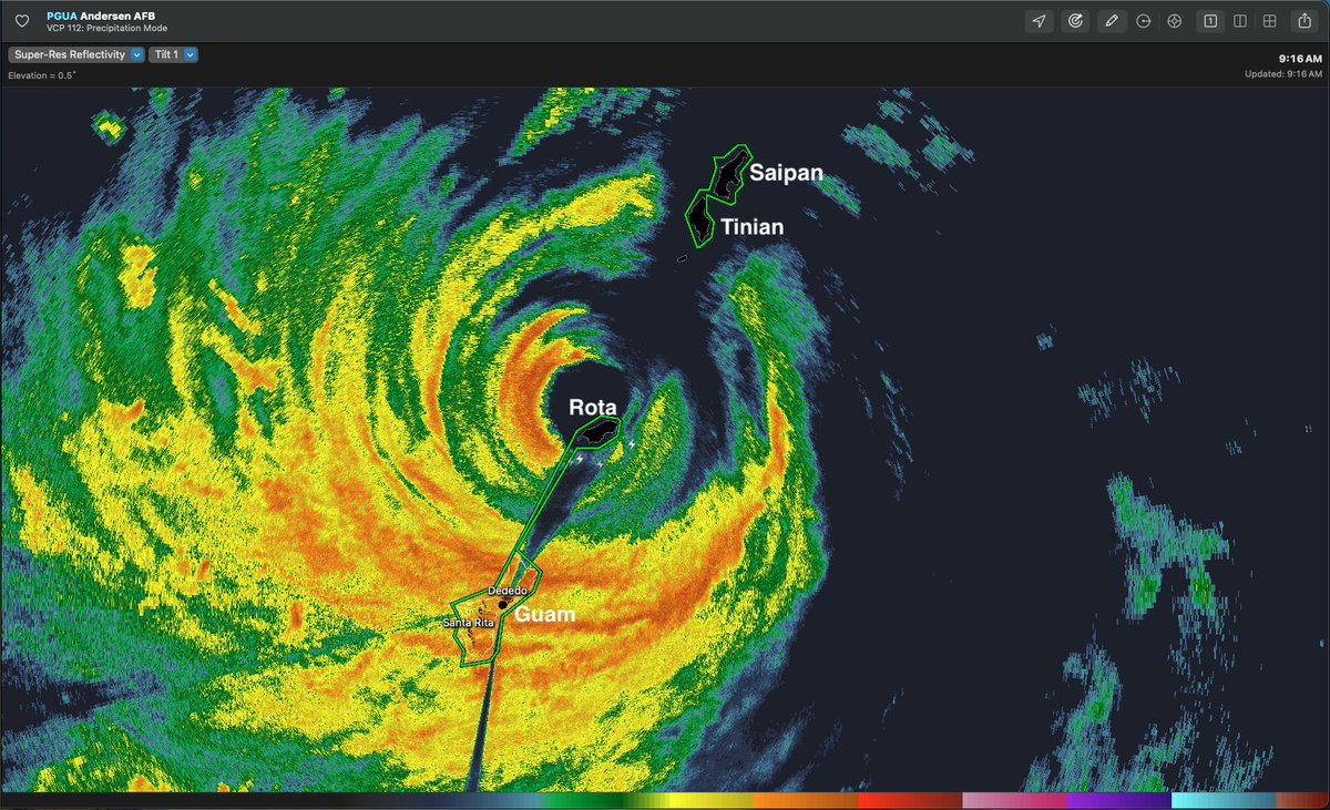
Radar out of Guam shows calm eye of Super Typhoon BAVI directly over Rota 916am Monday 6July2026 as moves through Mariana Islands. The calm will end shortly as back side starts soon. (Note: gap in radar coverage over Tinian and Saipan)
Low may form along front around Monday near NC then swing back into SE US this week. NHC low 20% chance tropical development. Ton of dry air (brown color) around likely limits development & rainfall potential, but we’ll watch especially with 4th festivities near. 27June2026 8pEDT
14Jun2026 Atlantic:
NHC with 30% chance of brief messy classifiable thing as scattered heavy moisture falls across the Gulf states this week, generally moving Northeast to East.
(WPC’s 5-day rainfall potential, inches)
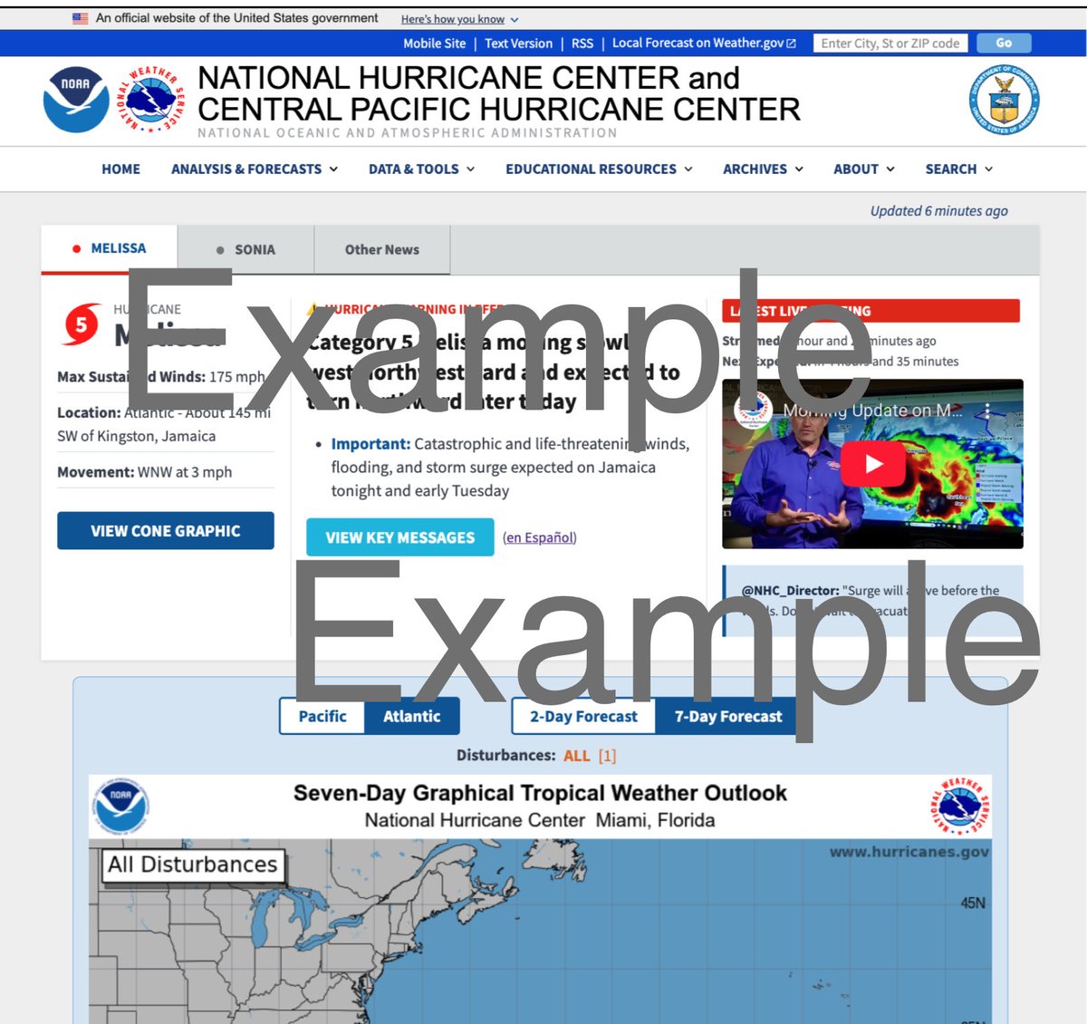
@Manahen1996@NHC_Pacific Website image error. The tropical storm warning is active. View changes or active under public advisory text links. https://t.co/L7IT5st3z6
@jimbomulligan@NHC_Pacific For the East Pacific it’s above average (3rd storm avg July 6), but kind of expected for this season with El Niño.
https://t.co/cTuYzvshlf
@mkv_ty@NHC_Pacific It’s about 1,660 miles from Hawaii, about half between Mexico and HI, moving about 5mph and expected to fall apart in a couple days. Even if it were headed that direction that speed you’d be looking at about 2 weeks travel time. It’s Waaayyy out there in no man’s land. 👍
NOAA/NHC issues annual 2026 Hurricane outlook. Just general guidance on if more or less storms likely for reference.
Overall El Niño conditions likely favor more storms in East & Central Pacific (warmer waters) and less storms in Atlantic(higher wind shear).
21May2026
@rko_cjay@NHC_Atlantic Atlantic season still starts 1-June but starting in 2021 NHC began issuing the 4x daily outlooks starting 15-May to help monitor the early storms. The season may end up eventually including 15May but has been voted against thus far in the international WMO annual meetings.
2026 NHC changes:
Summary:
-cone map adopts inland Watch/Warning
-test cone map to use ellipse shape
-4x daily TWO map adds gray 0%
-New marine wind map
-Hawaii surge maps now match mainland US
-Mobile version of NHC site
Details:
6. More mobile friendly version of the NHC hurricane web page rolls out this year. Expect changes as the season progresses to how information is displayed.