multi-model ensemble seasonal forecast for the coming 2026 Habagat season (Jun-Aug) shows above-average Habagat rains (mostly in Jun and Jul), but with anomalously dry south, characteristic of a developing El Niño year
3-day particulate matter forecast (Apr 24-26). Easterlies will pick up starting this afternoon and will push the pollutants lingering off the west Luzon coast southwestward.
the relatively strong north winds along the West PH Sea tomorrow (Apr24) will finally disperse the accumulated pollutants lingering along the western coast of Luzon for many days now. There are still some emissions today, fewer compared to previous days, but still hazardous
forecast particulate dist. frm tod(Wed) til Fri. Strong easterlies will mainly push emissions to the western seas in the next 2 days. Hazy/poor air quality conditions along the northwestern Luzon coasts, as previous days' emissions are lingering around the northern West PH Sea
forecast particulates for today (Apr21) and tomorrow (Apr22) show strong east winds will disperse pollutants from NCR today and tom, however, downwind regions such as Bataan and Zambales may experience elevated levels of pollutants before they are transported to the West PH Sea
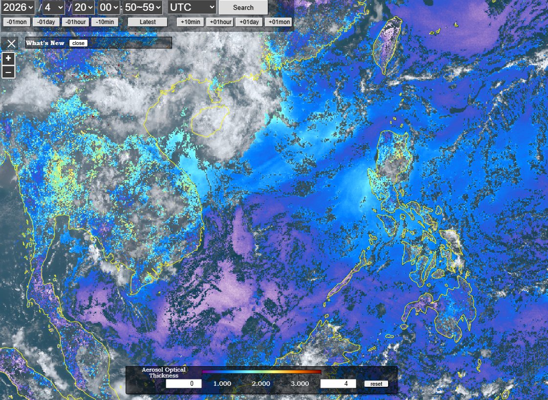
There are 2 air pollution events currently happening in the region. The week-long Navotas fire, together w/ persistently weak easterlies, has spread across the northern half of PH (yellow). Then, burning from Indochina is being transported to the Pacific aloft (~3-4km high; red)
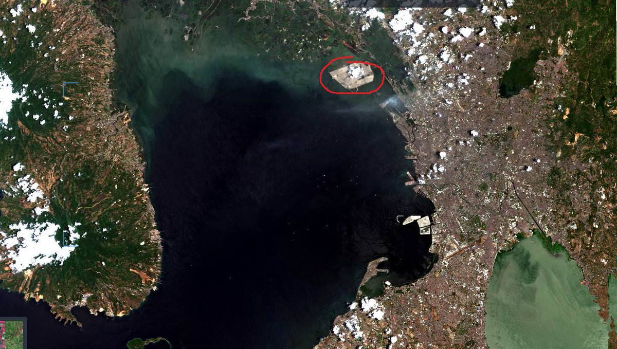
while looking at satellite images of the Navotas fire, it's heartbreaking to see that environmentally taxing effin new airport has gotten so large that cloud convection is literally happening on it. Pati sa tabi ng MOA, area is comparable to Sangley Point already,so disappointing
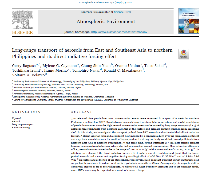
In Apr-May, sea breeze, high boundary layer height, and turbulent mixing make NCR air qual good.Despite the robust PBL height and mixing in recent days,the extreme emissions of the landfill fire can't be dispersed fast enough. Our paper on this process https://t.co/wjcNUhwg2U
(20260418) forecast (init last night) vs observed plume from Navotas fire - close enough, main plume is southwestward and smoke outflow to W_PH_Sea appears to be consistent with satellite (yellow dash). Smoke further west (pink dash) likely from yesterday's emission b4 model init
Plume from last nyt until later tonyt, strong W breeze this pm may increase pollutant levels for most of NCR. Poor air quality will persist in SW Bulacan.Been a week already,apart frm heat exacerbating the fire,the landfill is on an island not easily accessible to firefighters.