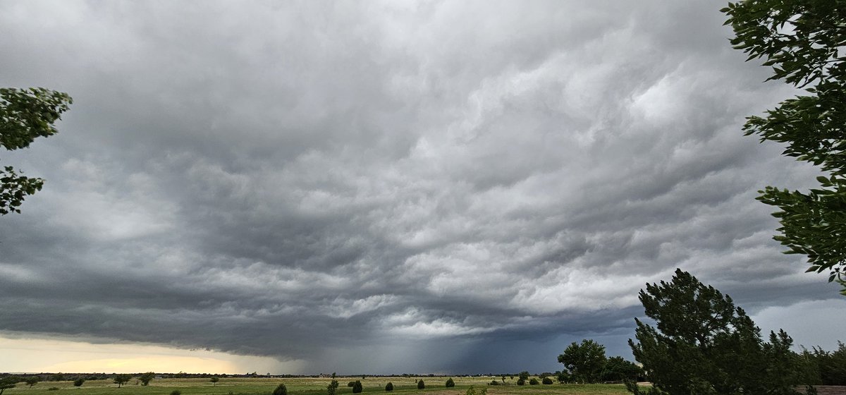
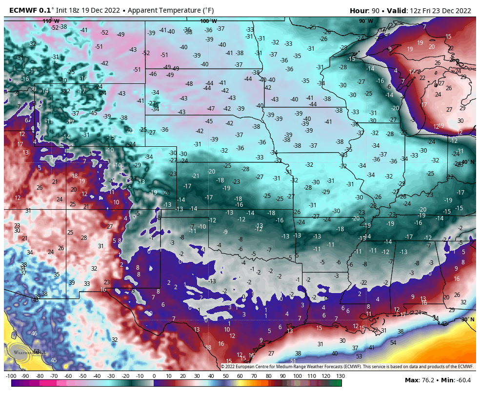
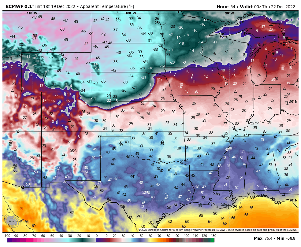
Severe weather threat has expanded northward. Wind gusts to 70 mph and 2 inch diameter hail will be possible with the strongest storms. Greatest threat area will be east of I-25 and south of I-70, across the Palmer Divide eastward across the plains. #COwx
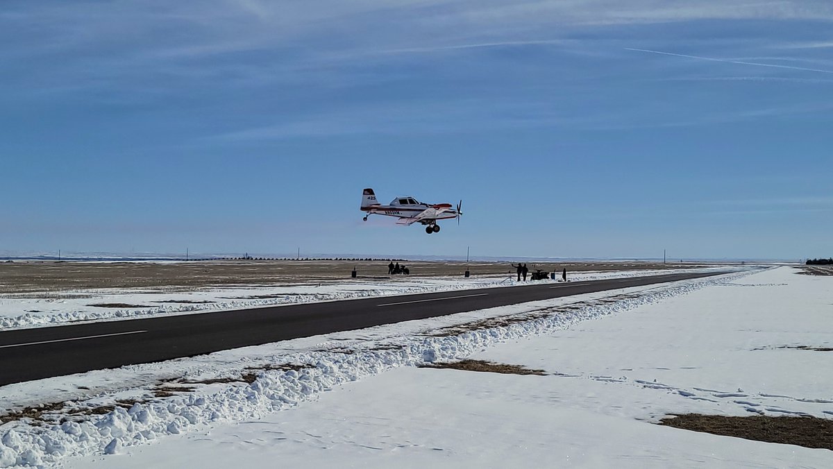
Honored to be the keynote speaker today, surrounded by Colorado’s top ag leaders. Huge thanks to the Colorado Agricultural Leadership Program (#CALP) for bringing together the best in the industry. Let’s cut through the noise and make a real impact! #Felfie#Agvocate
These election budget numbers are SHOCKING:
Trump campaign:
• Raised $381.54 Million
• Spent $345.42 Million
Only $10.4 Million spent on staff
Kamala campaign:
• Raised $1.003 BILLION
• Spent $1.37 BILLION
She spent $582.53 Million on staff!
Democrats are wildly corrupt.
For just the second time in 37 years, there is an ENHANCED RISK (3/5) of severe thunderstorms across NE Colorado in the month of September which also includes the western Nebrasky Pandyhandle.
The primary hazard today is wind.
If you read my forecast update this morning, you know that a cold front is going to be barreling across the region today from west to east.
Storm are already on going across the western slope as the front pushes into western Colorado. These storms will consolidate into a line of strong to severe thunderstorms moving off the foothills and onto the I-25 corridor and eastern plains.
The storms will get progressively stronger and more severe the further east they travel onto the plains. Be weather ready today and tie anything down that you don’t want to be relocated into another state. #COwx #WYwx #NEwx #KSwx
I want to start chirping about this cold front I talked about earlier this mernin.
There is a lot more rain coming.
Behind today's storms, the winds on Sunday are going to turn directly out of the east behind the cold front.
That's going to saturate the atmosphere with dew points rising into the 50s. Combine that with modest lapse rates (the rate at which temperature cools with height), and decent bulk shear values (remember the more wind shear we have, the longer the storms survive, and the stronger they are *usually*), that is going to set us up on Sunday and going into Monday for NUMEROUS rounds of showers and thunderstorms.
We should have sufficient heating during the morning and early afternoon hours on Sunday before shower and thunderstorms erupt across the continental divide and front range foothills first between NOON - 1pm. Coverage will ultimately expand to include most of the I-25 corridor, SE Wyoming, and portions of the Nebraska panhandle & eastern plains through the late afternoon/early evening on Sunday.
In addition to the heavy rain/flash flooding threat, there will be a few storms capable of reaching severe limits with damaging winds due to a little dry air entrainment, as well as large hail up to 2" in diameter with the strongest updrafts.
With the sustained upslope flow out of the east, rain and thunderstorms will likely continue through the overnight hours and into Monday.
So, that just means more work me! 😆
Be vigilant. Have a plan. Make smart choices. Don't be a dumb dumb, and I'll keep you updated like I always do! #COwx #WYwx #NEwx #Forecast #HeavyRain #FlashFlooding #SevereWx
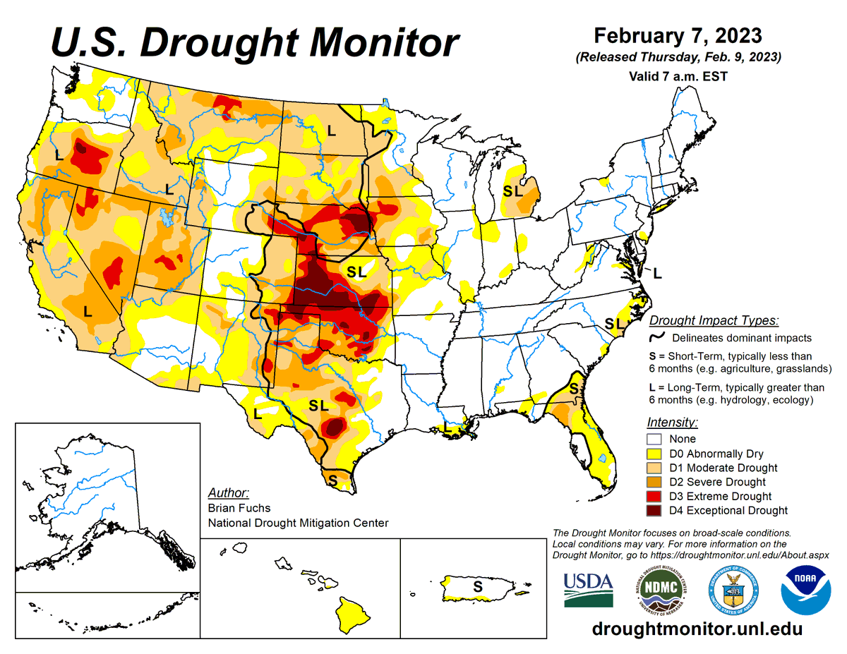
U.S. Drought Monitor 2-16-23:
Drought receded slightly, with 34.5% of the U.S. and Puerto Rico in drought (D1-D4).
But with patches of intensification in TX & FL, affected population rose slightly to 74.3 million.
@DroughtGov@NOAANCEI@USDAClimateHubs@usdafsa@FarmersGov
#Snowpack across California, Nevada, and the #pnw is still looking strong, but most watersheds have dropped a bit after a dry week.
The Washington Coast and most of Arizona and New Mexico are still struggling. The Upper Pecos is down to just 35% of normal. #drought