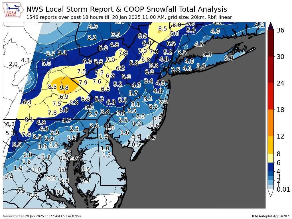
The models are converging on a major snowstorm solution for the area. In Wilmington, I am forecasting 6-11”. Travel conditions are expected to be dangerous to impassable late Sunday afternoon into Monday morning. Blowing and drifting snow is likely.
A strong storm will develop along the east coast Sunday into Monday. This mornings models show wide range of outcome. Some snow is possible for Wilmington.
Will be watching another strong low develop off the east coast next Sunday. Hopefully it will trend out to sea to give our backs some rest. More later in the week.
Updated models show more precipitation, however the majority of this storm will be sleet and freezing rain. For northern DE expected 4-7” of snow, with maybe 1-3” more of sleet and a coating of freezing rain at the end late sunday.
My initial forecast for late Saturday into Monday. i may be a bit too low, but I worry about dry slotting during these types of storms as the energy transfers to the coastal low. Winter sto watches up for the whole area.
Even though the soon to be Imelda will not directly impact DE, we will see rough surf, rip currents, beach erosion, and tidal flooding due to a large pressure differential. These conditions could persist much of next week.
A winter storm watch has been issued for all of Delaware for Tuesday into early Wednesday. 4-6” of snow possible within the watched area according to the NWS.
Early forecast for Tuesday into Wednesday morning. Generally 3-5” of snow, highest totals in southern new Castle County. Snow starts mid to late afternoon on Tuesday, ends around sunrise on Wednesday.
Winter weather advisory in effect for Saturday afternoon into early Sunday for sleet and freezing rain. A glaze of ice is likely. Use caution traveling late Sat and early Sunday.
Next chance for wintery weather is Late Saturday afternoon into very early Sunday. Snow will quickly change to sleet and freezing rain. A glaze of sleet and freezing rain possible before changing to rain before sunrise. There is also the chance for accumulating snow Tuesinto Wed.
A winter weather advisory has been issued for northern DE for freezing rain on Thursday morning. Best chance for slippery conditions is north and west of I-95.
Weather pattern is about to turn very active with several winter storms possible over the next 10 days. First chance is Thursday morning with some freezing rain changing to plain rain around or just after the AM commute.
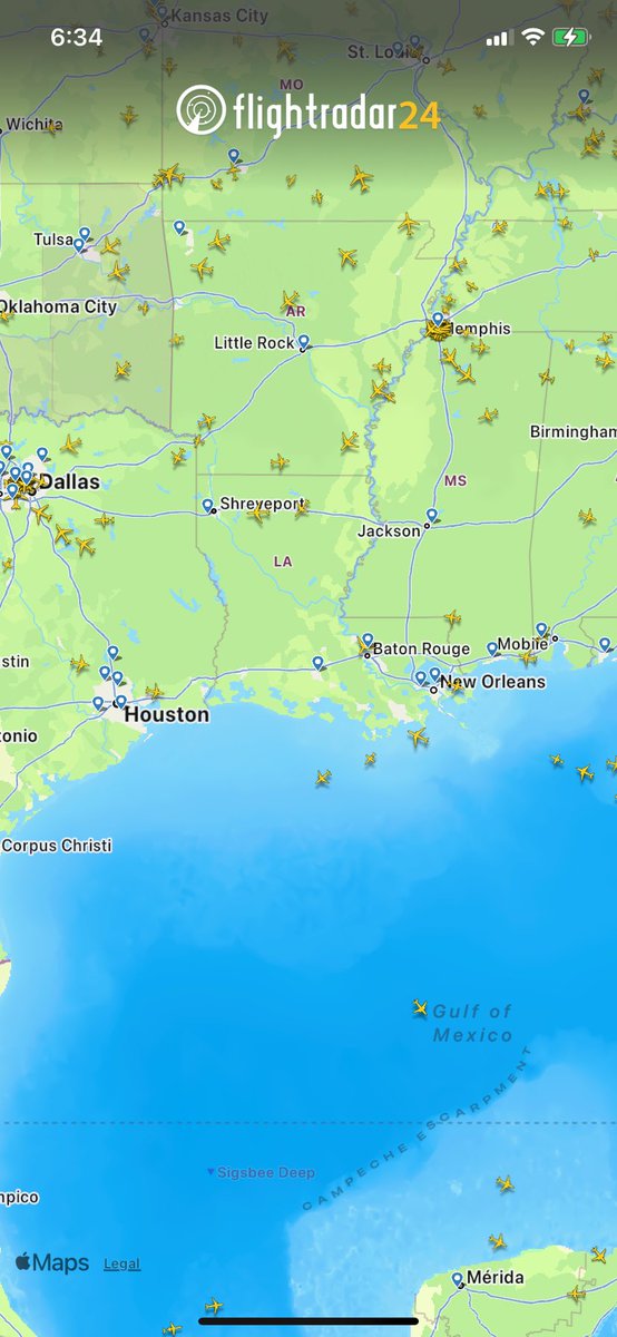
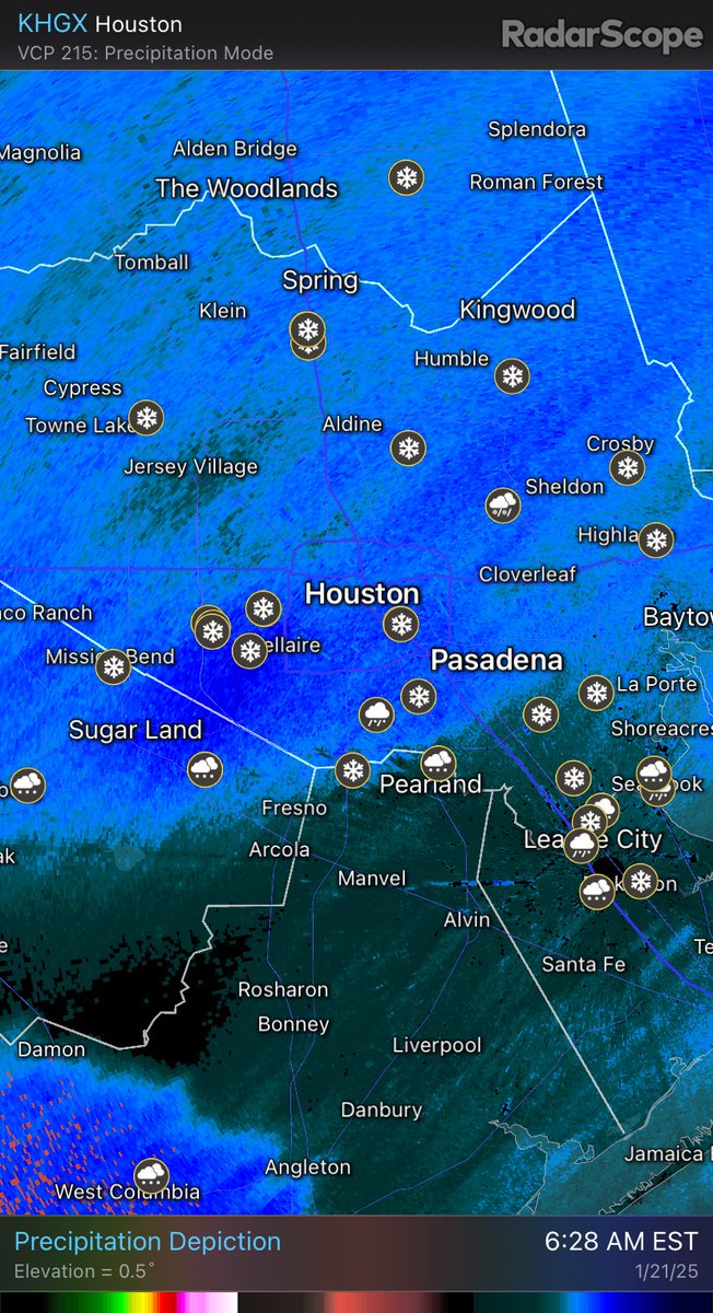
Seeing a rare sight, accumulating snow in Houston and across the whole Gulf Coast from Tx to Fl. Not many planes over the gulf coast as Houston airports have closed and most flights to other Gulf cities are cancelled.