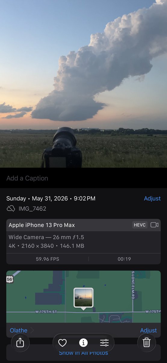
@wxtwisted@wxKobold I think the cap/inhibition was the main factor. NWS KC noted a capping inversion and failed convective attempts across eastern Kansas. Dry-air entrainment may have sharpened the cloud edges too.
Source: NWS KC/Pleasant Hill AFD, May 31, 2026
https://t.co/Y1c5JUq8zn
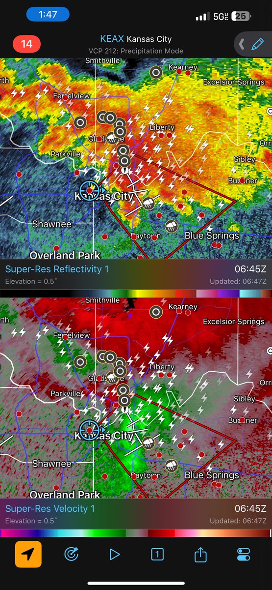
@wxKobold@wxtwisted Later around midnight, I noticed a stronger storm developing north of Kansas City and went after it. I caught up around 1:47 AM. It was the strongest storm I chased that night, and I could hear warning sirens as I arrived. Long day, but a great chase.
@wxKobold@wxtwisted Interesting — looks like we captured the same storm at the same time from different vantage points. Your angle really shows the structure well.
@CPalermo_Storms Yeah, I noticed something similar farther south. The winds picked up quickly, and there were a lot of corn leaves and light debris blowing around. Glad to connect — looks like we were both chasing the same storm that evening.
Happy Independence Day, America! 🇺🇸🎆
This year didn’t go as planned, but I’ll be back next year to create a longer timelapse from a different perspective—maybe with a telephoto lens from farther away. 📸✨
Happy4thOfJuly #IndependenceDay#Fireworks#Timelapse#KansasCity