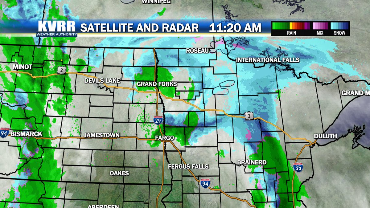
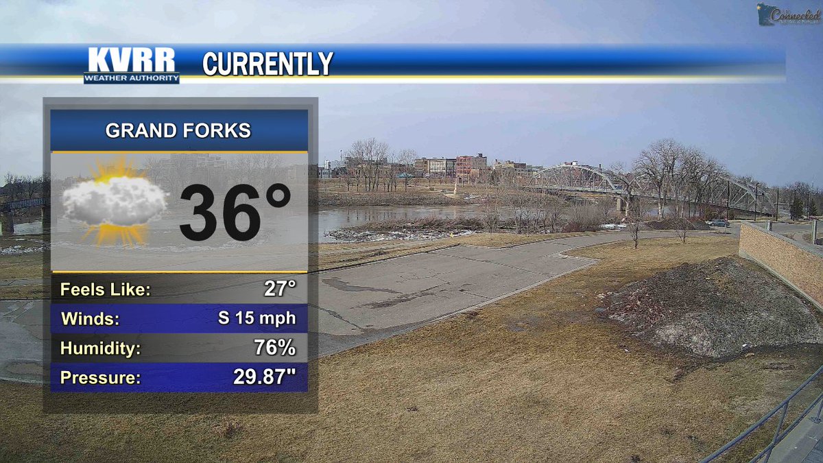
Rain is already falling across most of the area, and it will stick around into tomorrow. Get a look at our gray weekend ahead on @KVRRTV at 7. #ndwx#mnwx
The Lyrid Meteor Shower is coming this weekend, but it will be hard to spot behind the clouds and rain we will have. Find out when visibility improves on this week's Astronomy Update at https://t.co/4O6XaMffci. #ndwx#mnwx
The sun will come back out this afternoon, but more overcast skies will be here too end the week. Get the latest at https://t.co/inKbdWvzov. #ndwx#mnwx
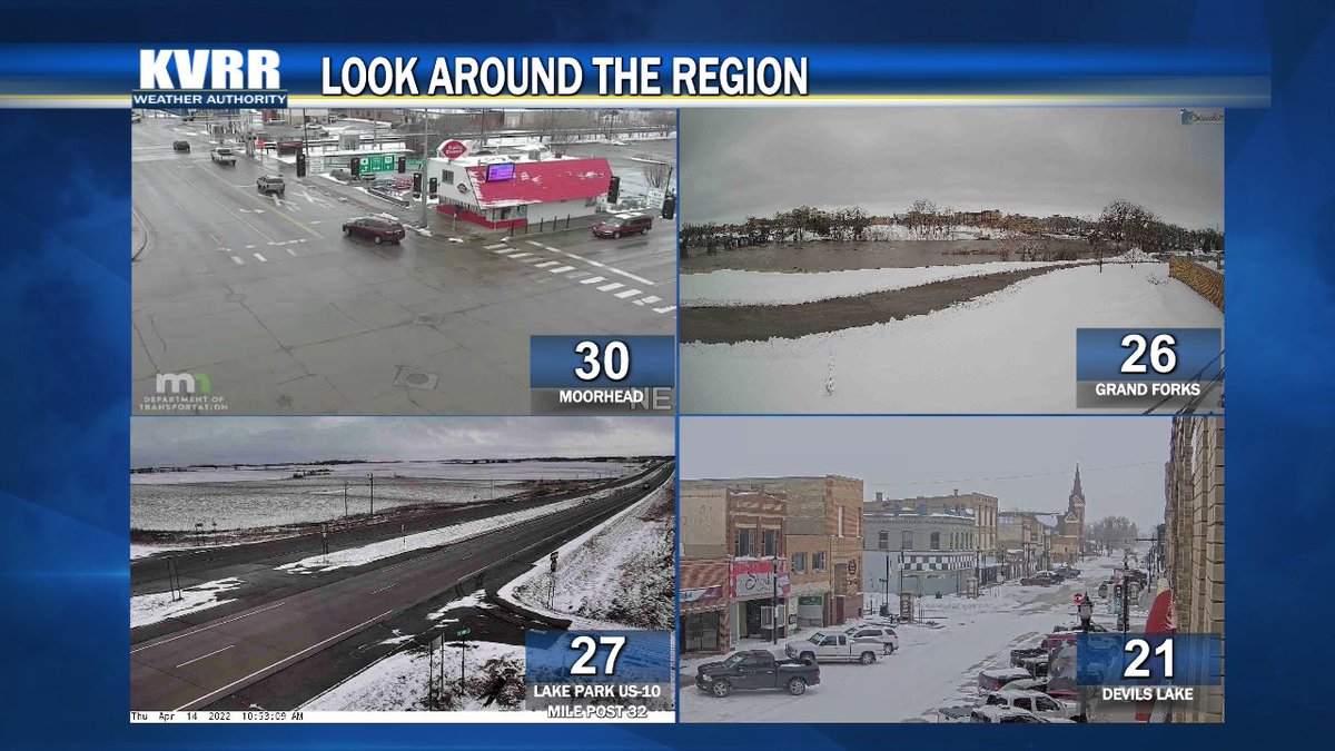
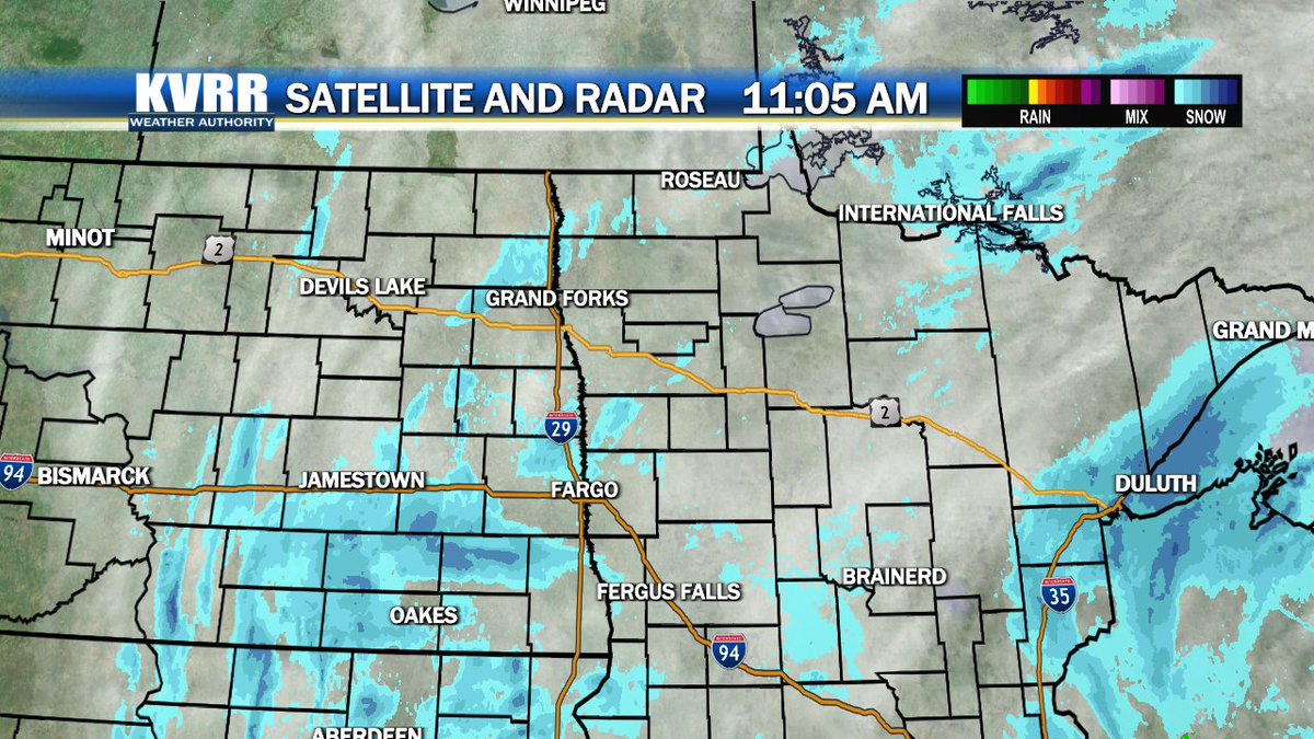
Rain is falling south with some snow north. Temperatures today should melt that snow, but still be careful driving through noon. Get the latest on @KVRRTV. #ndwx#mnwx
Clouds will stick around for most of the week, but temperatures will stay well above freezing much of this week. Get a look at the week ahead at https://t.co/inKbdWvzov. #ndwx#mnwx
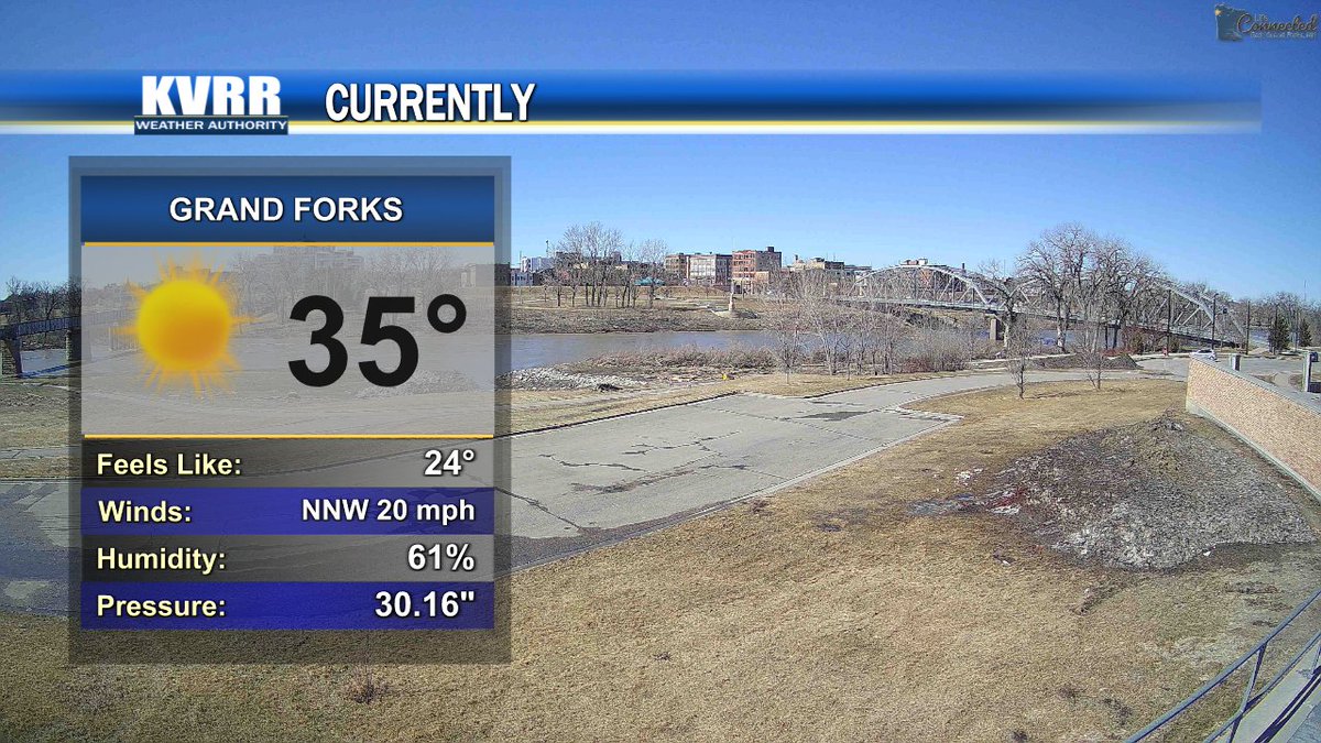
There will be some sunshine to start the day, but expect more and more clouds the later in the day we get. See when they arrive in your town on @KVRRTV at 7. #ndwx#mnwx
Sunshine is spreading further east, but it will be hard to spot the sun over the next few days. See when the clouds come back in at https://t.co/inKbdWvzov. #ndwx#mnwx
Skies will stay cloudy through the afternoon, but Saturday will be bright and sunny. Get a look at how much that sunshine will warm us up at https://t.co/inKbdWvzov. #ndwx#mnwx
Visibility in town is manageable for the moment, but blowing snow in open areas will still be a hazard into this evening. Stay up to date at https://t.co/inKbdWvzov. #ndwx#mnwx
Snow is drifting through much of northeast North Dakota, and there is more snow coming today. Get a look at how late into the day this round lasts on @KVRRTV at 7. #ndwx#mnwx
Snow has arrived in Jamestown, and it will likely stick around into next week. See hos much snow each day this week brings at https://t.co/inKbdWvzov. #ndwx#mnwx
Our Blizzard Warning has extended further east with a few counties in a new Winter Weather Advisory. Snow will arrive today in some places, start drifting, and will be very hazardous to any travel during the week. Get the latest on @KVRRTV at 7. #ndwx#mnwx
Our first round of showers is moving into eastern Minnesota, but there will be more showers this afternoon before the rain and snow come Tuesday. Stay up to date at https://t.co/inKbdWvzov. #ndwx#mnwx
Snow will wrap up around midday, but the melting will really start on Friday. See how the rest of the weekend is shaping up at https://t.co/inKbdWvzov. #ndwx#mnwx
This morning's snow is mostly falling in North Dakota, but the totals will likely be highest in Minnesota. See how much snow your town can expect on @KVRRTV#ndwx#mnwx
Today's precipitation will be on the line between snow and rain, but after sunset it will turn to consistent snow. See how long it will snow in your town at https://t.co/inKbdWvzov. #ndwx#mnwx
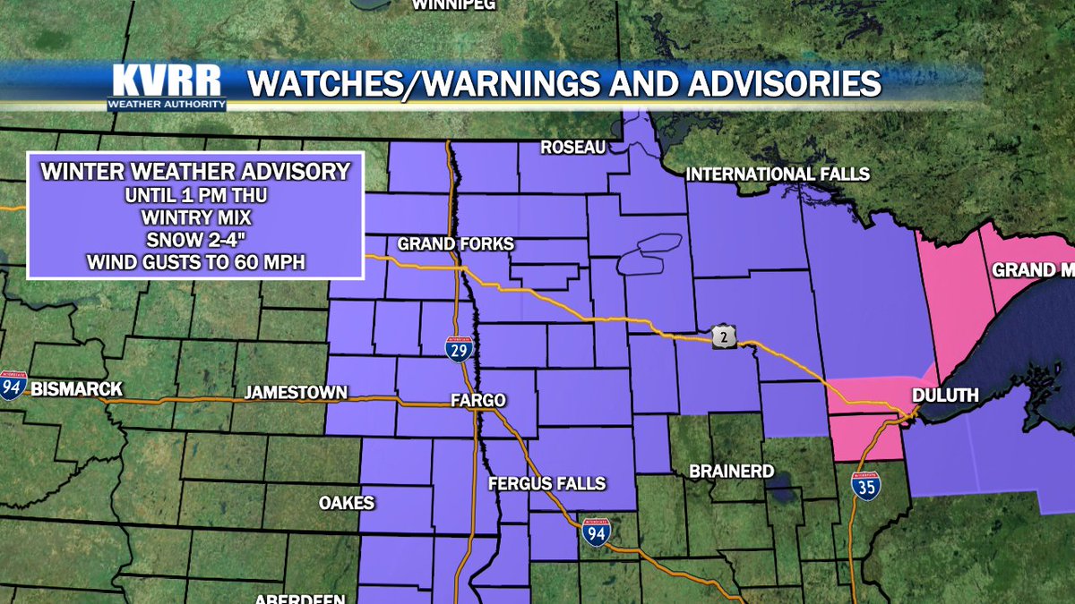
Our Winter Weather Advisory lasts into tomorrow afternoon. For Wednesday most of our mix will stay as rain with some snow. Through Wednesday night that rain will turn to snow and accumulate 2-4" in most of the area. Stay in the know with us on @KVRRTV at 7. #ndwx#mnwx
There is a break in the rain for some of us around lunchtime, but the system will arc back around and bring more rain in the afternoon. Get prepared at https://t.co/inKbdWvzov. #ndwx#mnwx
Clouds will linger into the afternoon and bring some showers through tonight. There are chances for rain and snow over the next few days so be sure to get prepared at https://t.co/inKbdWvzov. #ndwx#mnwx