Many thanks to @tenkahen and @AaltoGeoinfo, we had a lovely visit at Aalto University and collected a lot of inspirations this week. Looking forward to further expanding our collaborations in research and teaching. 😊
Glad to share our latest progress on map generalization with deep learning!
A layered data representation would significantly improve the map generalization results for the raster-based solutions, showing superior performance to what was achievable before.
A deep generalization paper led by Cheng Fu and collaborated with @YuFeng10 and Robert Weibel comes out in the @cartographyGIS journal.
Linking the layering principle in GIS, we propose a layered data model to ease DL for raster-based map generalization https://t.co/u3WvT0UPga
A deep generalization paper led by Cheng Fu and collaborated with @YuFeng10 and Robert Weibel comes out in the @cartographyGIS journal.
Linking the layering principle in GIS, we propose a layered data model to ease DL for raster-based map generalization https://t.co/u3WvT0UPga
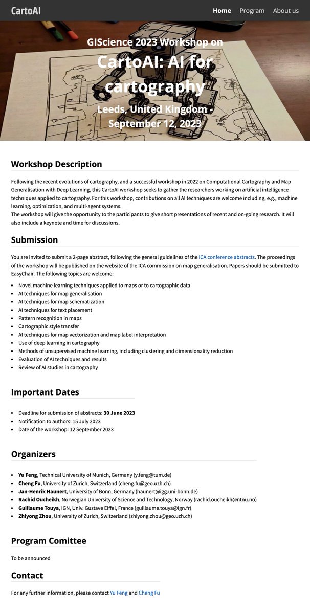
Want to present or discover how AI is transforming the art of mapmaking and unlocking new levels of cartographic knowledge? Join us at the AI for cartography (CartoAI 2023) @GIScience_conf workshop in Leeds, UK, on 12 Sept. Abstracts submission due 30 June 2023
To celebrate @GISday we are showcasing five recent IJGIS articles chosen by our editors. The articles are free to read until the end of the year (if not already open access). Happy #GISDay reading! #IJGIS#GIScience#GISchat 0/5
2/5 "Extraction and analysis of natural disaster-related VGI from social media: review, opportunities and challenges"
Yu Feng et al. discuss how social media data are used for #NaturalDisasterManagement & what challenges remain.
https://t.co/41XVbfZMqW
#IJGIS#GISDay#GISchat
The 1st round of 5 #NFDI4Earth incubator projects kicks off today!
Wish you all great success with the projects in the follow-up 6 months! @MoniSester@nfdi4earth
We are very happy that despite the rainy weather 150 participants found the way to our #NFDI4Earth Kick-Off. Looking forward to 1 1/2 days full of great talks, discussions and networking & of course, tweet about it #NFDI4Earth#NFDIrocks#NFDI#Dresden
Very proud to announce the release of our new stable version: CloudCompare v2.12.0 "Kyiv"!
https://t.co/fKSJaeIR30
See the release notes here: https://t.co/wttp7lI5lz
New paper: Extraction and analysis of natural disaster-related VGI from social media: review, opportunities and challenges by Feng Y, Huang X & Sester M #ijgis https://t.co/fYJTpZU49A
BREAKING: India, Pakistan agree to #Kashmir ceasefire for 1st time in almost 20 years. @NatGeoMag explains ‘cartographic nightmare’ of Kashmir region. How ambiguous maps led to bloodshed over inhospitable mountains and glaciers https://t.co/cxsvT0t29D @rileydchampine @NatGeo
SOS
World health damage.
Ask the United Nations to immediately stop Japan from dumping Fukushima nuclear waste water into the sea, otherwise many people around the world will suffer from cancer.
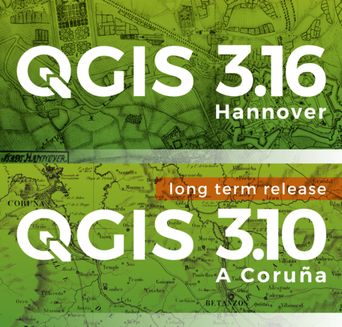
Linux, Windows and Mac packages of new #QGIS long-term minor release 3.16 'Hannover' and 3.10.11 'A Coruña' point release of old LTR ready on https://t.co/yGOw9OeDWA. Enjoy!
Learning Cartographic Building Generalization with Deep Convolutional Neural Networks
by Yu Feng, Frank Thiemann and Monika Sester
https://t.co/I1wUvMToZh
#cartography#map generalization
#deep convolutional neural networks
@ISPRS_IJGI
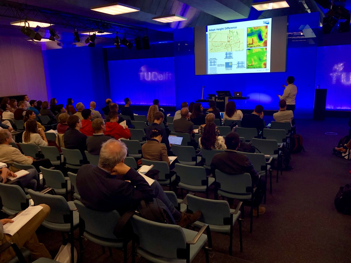
It’s that time of the year: #3DGeoInfo 2018 is on 🤓. Great to be back at @tudelft3d ☺️🇳🇱, and looking forward to hearing about the latest #3DGIS developments. Thanks to the team behind @3DDelft2018 and #GeoDelft